Thursday, March 24, 2011

KSRT- Makapu'u

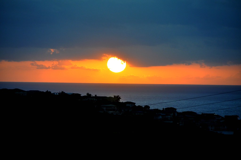
March 26, 2011, KSRT- Makapu'u

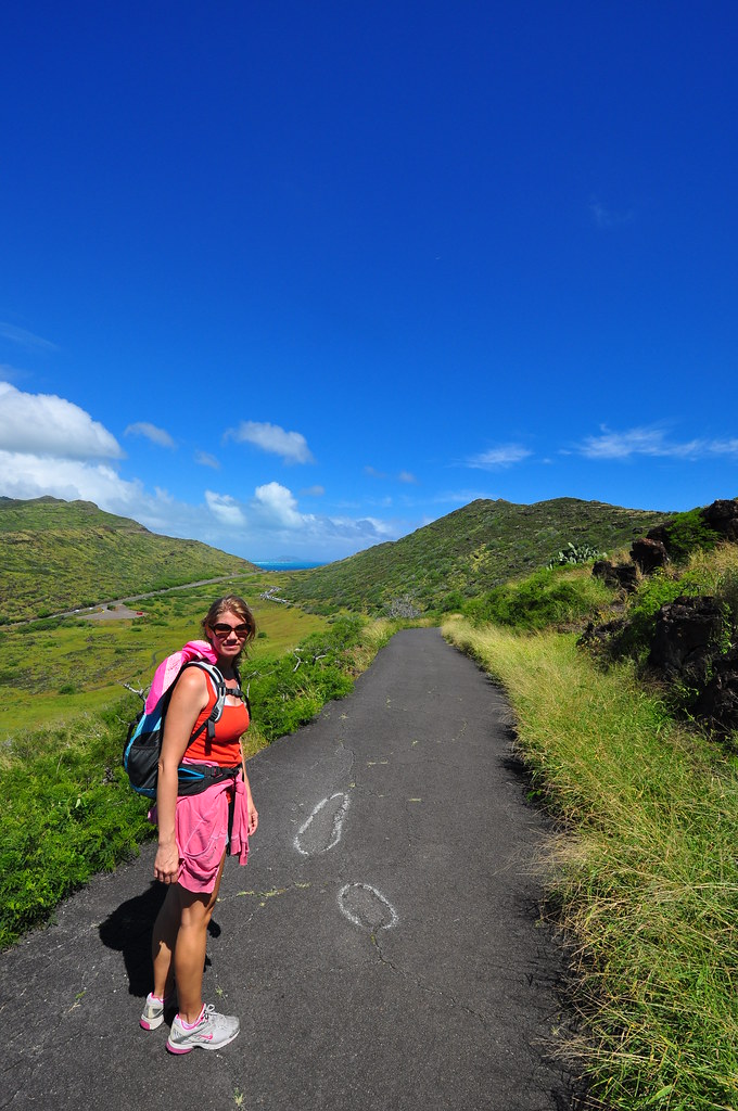
The weather was terrible on Tuesday so our trail plans were ruined.  Today the weather was a little better, at least on the east side of O'ahu, so I took Mrs. XJ on a small section of what I'll call the KSRT from the Makapu'u Lookout to the end of the road that serves the Makapu'u lighthouse.  It was a short trail but considering the weather this week I feel lucky to have even got this in.  It's always a pleasure to have Mrs. XJ along too!
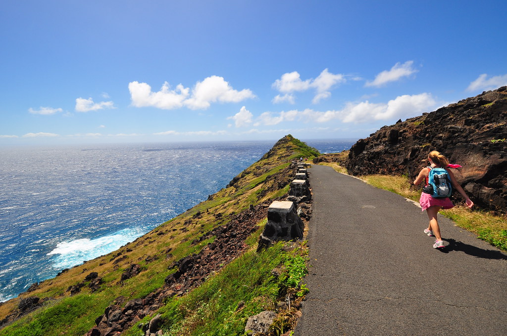
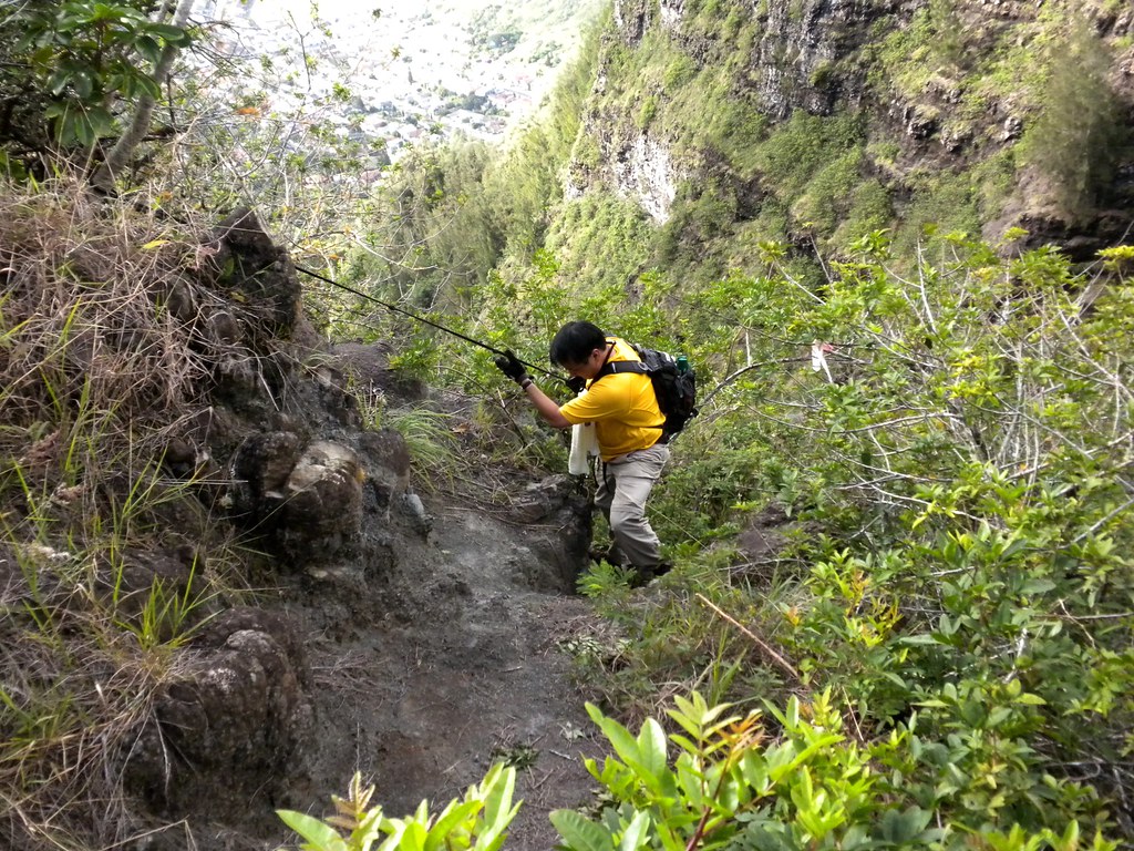
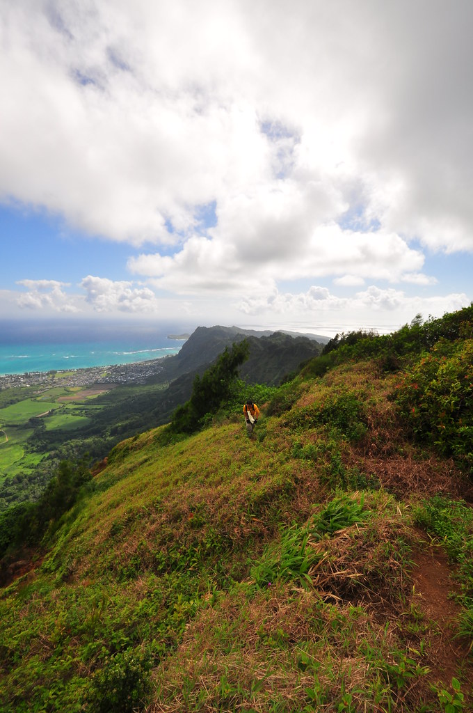
Mrs. XJ heading up the trail
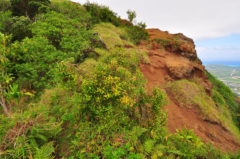
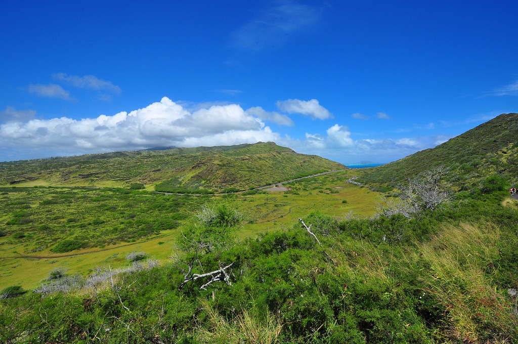
The meadow, about halfway up.
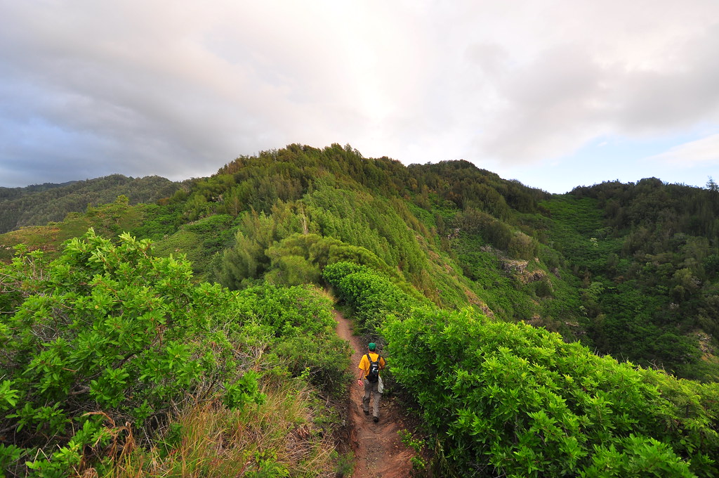
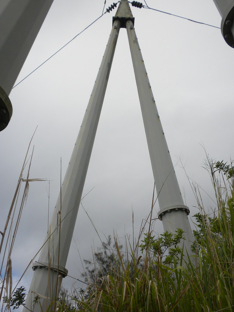
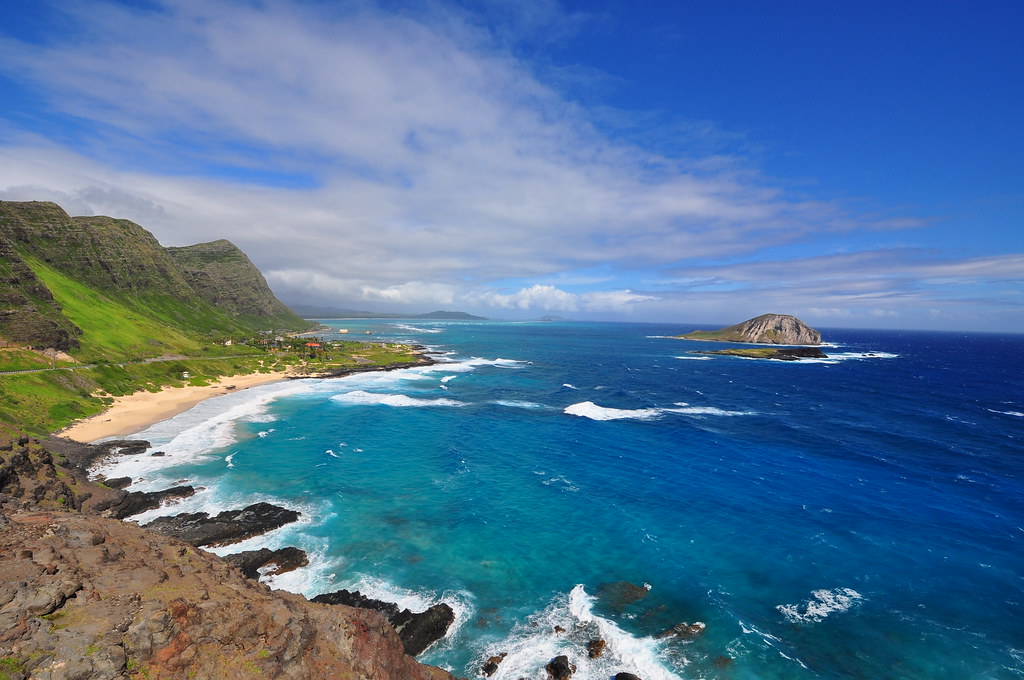
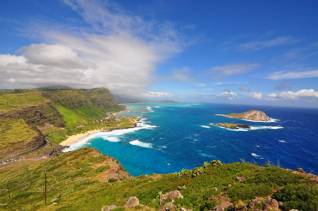
We started by parking at the Makapu'u lookout and headed up the hillside after jumping over the rockwall and metal railing.  There were a couple of trails to follow but I wanted to stay as close to the ridge as possible to enjoy the views of Makapu'u Beach and Manana and Moku Hope Islets offshore.  There are two metal pipes and some power lines that parallel the ridge and we stayed makai of them until reaching the top.  Most of this section steadily uphill but it's not very strenuous and not difficult.  Very early on if you look closely you can see the remains of some kind of military position.  This one is a little harder to spot because they used lava rocks in the construction so it blends in pretty well.  I don't know why they didn't do this on all of them.

First "bunker"  No idea what it was for.

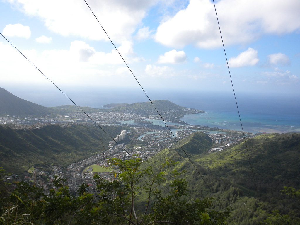
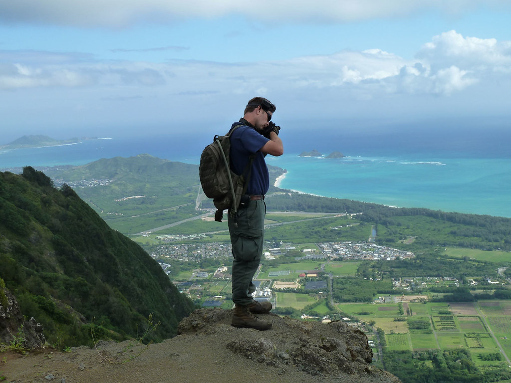
The trail divided into two uphill sections.  The first delivers you past some prickley pear cactus to a intermediate area with great views of Mokapu'u Beach and Kaupo and looking west, a nice view of the Makapu'u saddle.  It was super windy today and the gusts were crazy.  I had a hard time balancing on the rocks getting some of my shots.  Be careful!

Continuing our short hike up the ridge the angles of the view changed and they became even better.


Makapu'u about half way up.
Makapu'u from the top.
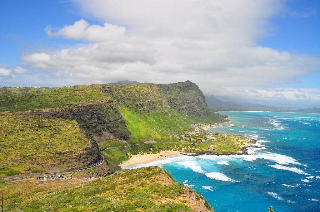
Makapu'u Point, the eastern tip of O'ahu
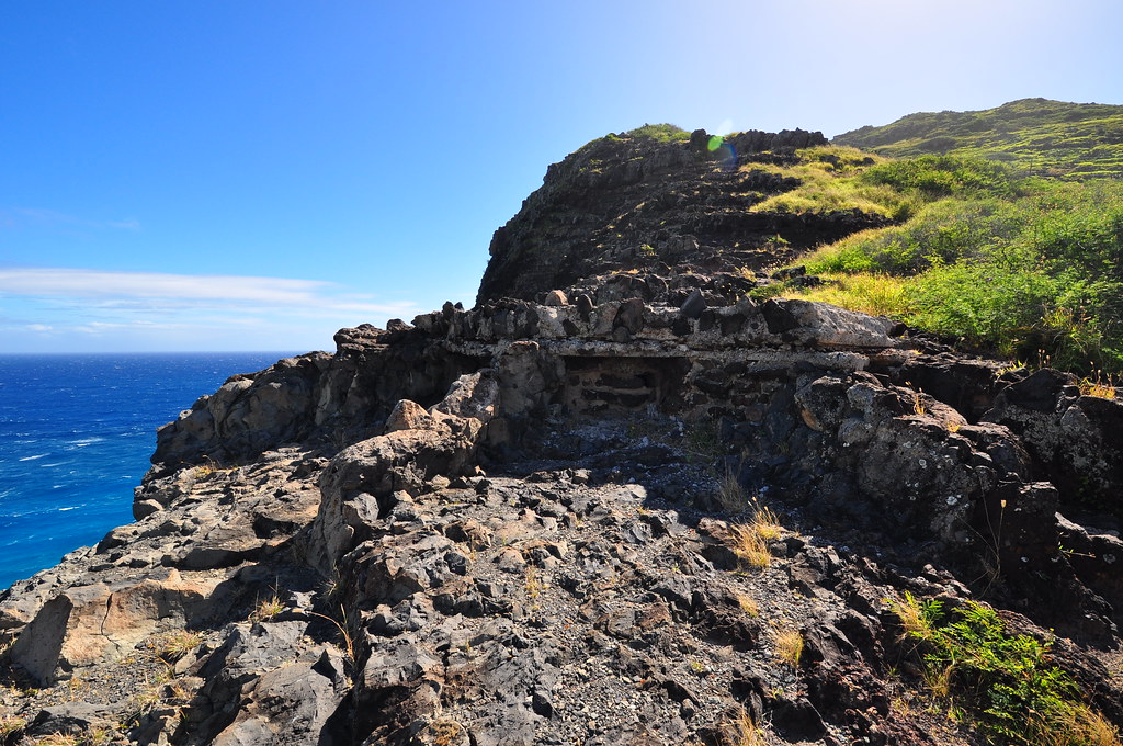
Collapsed roof
Fire Cotrol
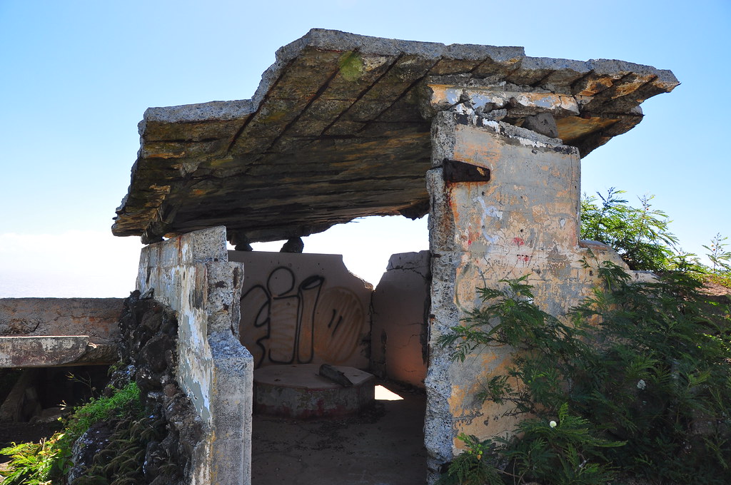
Eventually we topped out at the remains of the fire control stations that were built during WWII.  I'm not sure of the exact designator for them but at least one of them was to direct fire for Battery DeMerrit near Aikahi according the the Coastal Defense Study Group.  

Judging from the number and their positions, I'm sure some of them were for other batteries on the leeward side because it would have been impossible for the shells of DeMerrit to target the areas some of these positions overlooked.


The thing that struck me most about the concrete structures was their poor condition.  Those above Lanikai on Ka'iwa Ridge are in far better condition.  Perhaps the concrete was of poorer quality or maybe the salt spray is worse at Makapu'u.  A couple of them and collapsed as the metal holding the heavy concrete roof sections had failed.  

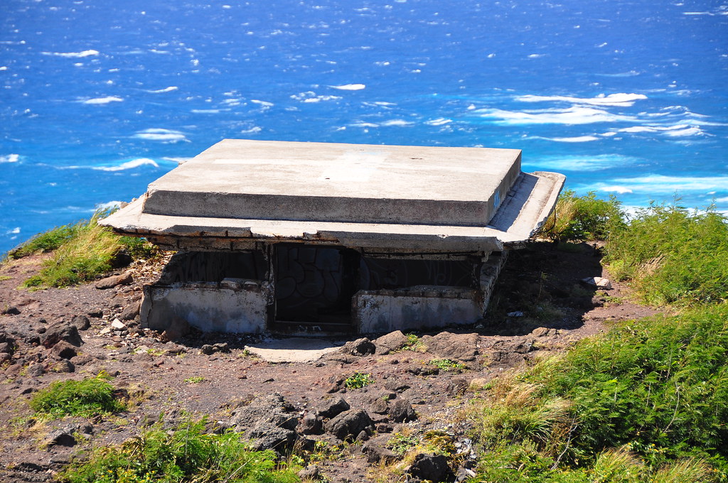
This insides of the stations had the typical graffiti but some outside dated to July 1944!


After satisfying what was  mostly my curiosity, not Mrs. XJ's,  we heading down to the old Coast Guard Station road.  The station itself had in interesting history.  After the lighthouse was automated the buildings were used in the  witness relocation program during a local trial, in the filming of more than one Magnum PI episode, Hawaii Five-0, and finally in a small protest occupation that lasted a few weeks by some armed people.  The station's buildings were destroyed following that incident except the oiler building which I didn't think to take a picture off.  Oh well, it's easy to spot because it's the only thing up there besides the lighthouse that is painted and not crumbling to pieces.

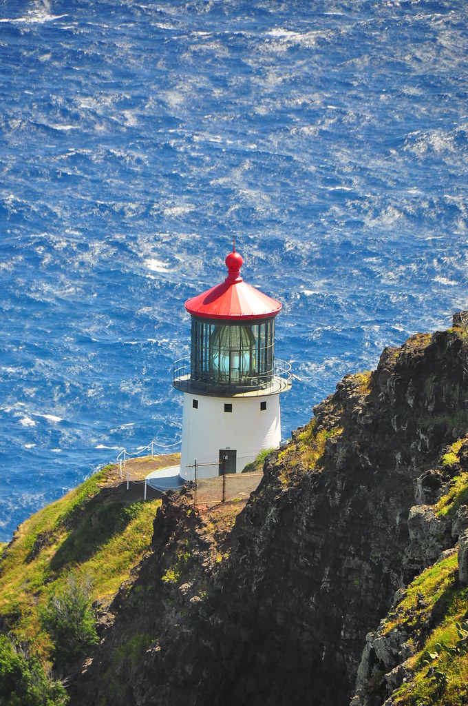
Of course the most famous part of this area is the Makapu'u Lighthouse.  It was built in 1909 and it boasts the largest lens in America- radial or hyper-radiant.   I won't even claim to have bothered to even look up what that means.  There's a link at the bottom if you want to read more about it.  What I do know is that it stars in thousands of pictures daily from both tourists and locals that venture up here.  Of course, I had to take a couple too.
View from the roadway down.
The old Coast Guard road is hiked by hundreds daily and is a great opportunity to see whales in the Moloka'i Channel in season and always a great view.  This road is completely suitable for kids still in a stroller- I've done it.

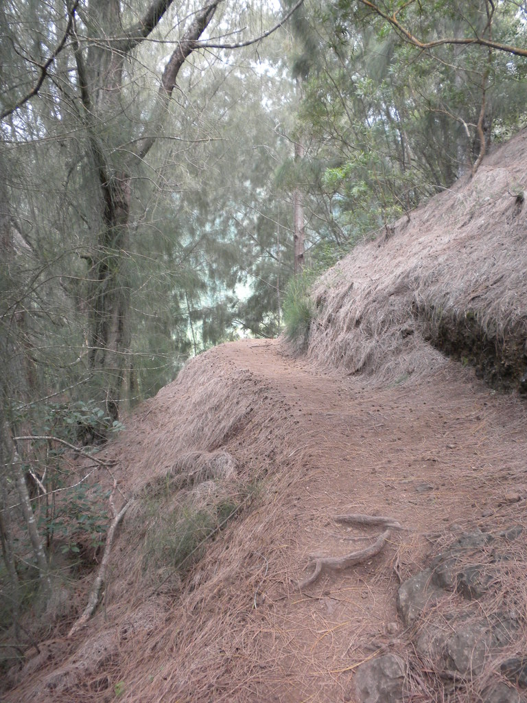
We headed down the road and passed Pele's Chair (still haven't gotten there...) and back down to the newer parking lot the State built for those wanting to hike the road.  A small note of caution if you do, don't leave ANYTHING in your car and pray for the safety of your car windows if you park here.  Last time we were there there were about 6 cars with smashed windows and it was busy so it's not like they care if someone sees them doing it.  They didn't just hit the rental cars either!

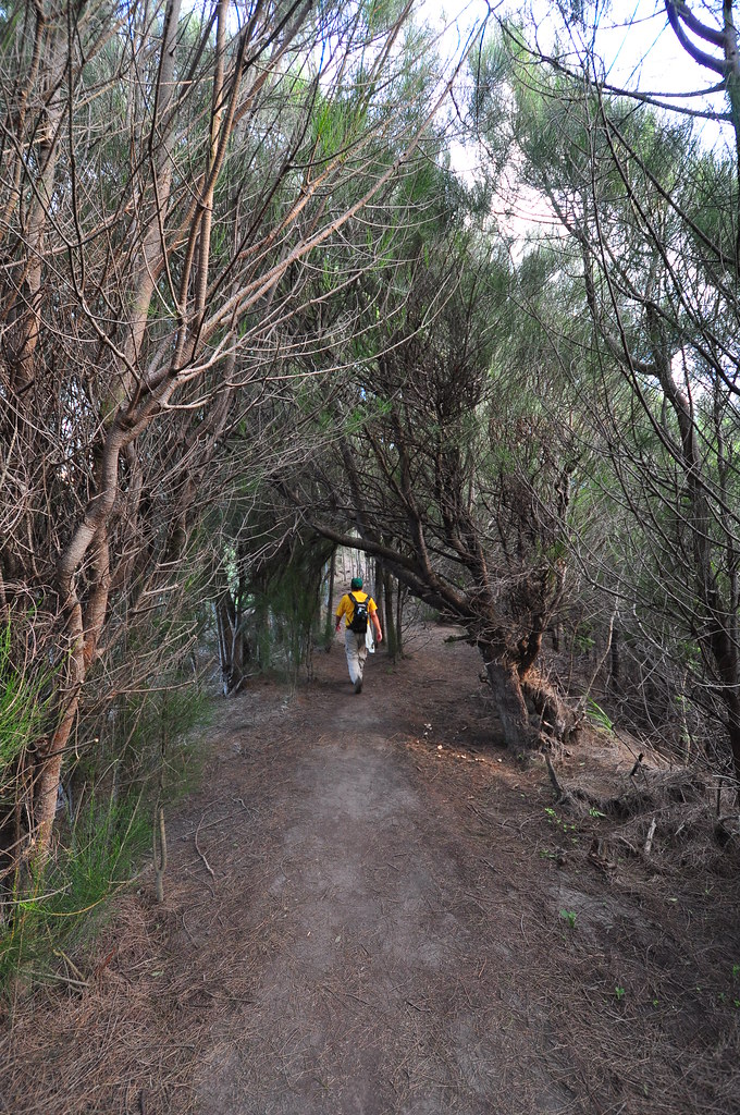
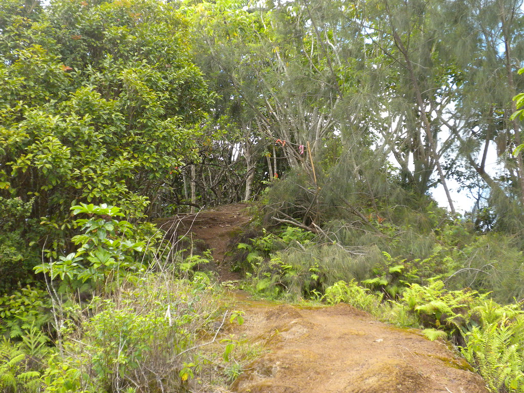
Today was a good day though and no broken glass as we passed by.  We took a small shortcut trail through the brush back up to the lookout parking lot and ended our short hike for the day.  I managed to trick my computer into rendering a not-so-great video.  I went with a big band soundtrack because of all the WWII stuff up there.


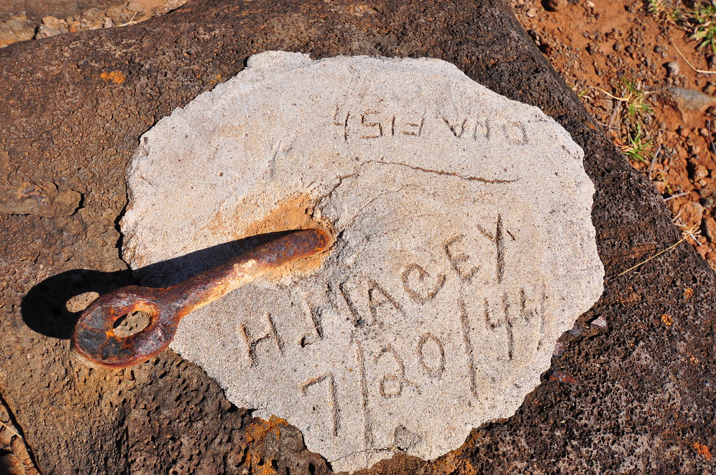
H. Macey, you're a bad man!
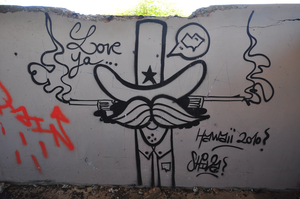
Mokapu'u Sam, Yosimite's cousin.
More pictures of this trail and others I've done are can be
viewed  Flickr.  Aloha and thanks for reading.


Friday, March 18, 2011

KSRT: Mariners Ridge to Kuliouou

March 15, 2011 KSRT:  Mariner's Ridge to Kuliouou

This section of the Ko'olau Summit Ridge Trail is unfinished business from a few weeks ago when we did Mokapu'u to Mariner's Ridge.  To recap, my hiking partner's knee was acting up and we ended up bailing out before finishing this segment.  Honestly, this is not my favorite section of the KSRT and we knew that going into today's short trip but in keeping with our goal of hiking the Ko'olau crest it had to be done.  I'm not ashamed to admit that 2 days after the Bowman to Stairway trail my calves were pretty sore.  Thankfully this was a short and easy one.

Another amazing sunrise...
We met at Hawaii Kai Costco at a little after six, me being the guilty late party.  After dropping off a car at the Kuliouou trail we headed to Mariner's Ridge, it's real name is Kaluanui Ridge, to begin the day.  On the way up I had to pull over to enjoy a beautiful sunrise above Molokai.
Trail Head

Early portion of the trail
Kamilo Nui Valley
Sunrise photo session complete, we parked the car and headed to the trail head.  Almost every blog, hiking website, and book touts the trail as the shortest trail to the Ko'olau Summit.  I'm really trying not to be too negative about it but I find it to be the ugliest too.  There are a couple nice spots on the way up with views of Kamilo Nui Valley on the right and Haha'inoe Valley on the left and if you pay really close attention you can spot a couple native plants in the sea of invasive species that call this part of O'ahu home.  Along the way I spotted some 'a'ali'i, akoko, and a couple ilima but that was about it.

It's fairly apparent that this trail is the remains of an old road that extends almost to the summit.  I spent some time searching for some kind of history about what the road was for but so far have come up empty handed.  I suspect a military use...  Anyway, because the route was intended for vehicles it's a very nice wide path with a fairly easy grade.  That makes it perfect for people not looking for a grueling trek that is suitable for kids, dogs, ect.  See, I'm staying positive!

Ironwood tunnel
As the trail makes it's way up the views of Hawaii Kai get better on some of the open stretches but towards the end you're swallowed up an iron wood tree grove that dominates the upper section of the trail.  

About midway
The trail cuts into the ridge, still wide enough for a car, makes a left turn and then opens into a small clearing.  This is where the road ended and the trail to the summit starts.  It's very short and still very tame.  A couple minutes later you top out to a great view of Waimanalo Town and bay.  This is THE defining view of the Mariner's Ridge Trail and considering the minimal effort to get here it's totally worth it.
Mariner's Ridge Trail Terminus

First descent from Mariner's
We paused here for few minutes to take a look at the short segment of the Ko'olau Summit Ridge Trail we'd be doing.  There were a couple ups and downs but it looked very tame.  There was no question in my mind that the only trouble we'd be having today is finishing late enough to be able to order off a lunch menu!

Descending down from the terminus of Mariner's Ridge involved a short climb down a not very steep rock face.  It looks about 50 times worse than it is in the pictures.  A reasonable amount of care is all that's required to negotiate this section and there are tons and tons of hand and foot holds. There are a couple small peaks along the ridge but they all seemed to have an option trail contouring them or you could simply go right over them.  No thousand foot drops here to worry about.
KSRT westward to Kuliouou

This pu'u intrigued me from the moment I saw it.  I wasn't disappointed as we approached to see a rope hanging from it.  As it turned out, this was the highlight of the trail- a small climb to the top.  I'm sure it has a name but I don't know it.  The topo maps only say it's elevation is 1594' feet.  I couldn't help myself with the goofy poses.

Billy Goat / Captain Morgan pose- photo by II

Trail through the poles
There are a number of ropes along the length of this section for aid-  None required but all very helpful.  In fact the entire trail is well laid out and there's little worry for a fatal slip anywhere along the route.  This particular one is right before my billy goat pu'u.  If someone happens to read this and knows the name of this little peak I'd appreciate you posting a comment. 

Hawaii Kai from the first power lines.
After the short climb up the pu'u we continued along the trail.  Nothing much stood out aside from the view of Waimanalo.  Ups, downs, ironwood, christmas berry, guava, ect.  Eventually we passed right between the first set of power lines we'd be seeing today.  Strangely, no helicopters and HECO guys working on them as seems to be the norm when we're up here.  The next stop along the route would be another set of power lines a few ups and downs later.


Waimanalo- The dominant view of the trail
Typical section of the trail
Concrete path near 2nd power lines
Looking back down the KSRT
 Later we passed the second set of power lines, there was a small  concrete pathway that becomes part of the trail.  It's even got little steps in it for convience.

As we approached the Kuliouou terminus I spotted some lehua ahihi, a kind of ohia only found on O'ahu.  This is the farthest east I've seen it.
Ahihi, center frame as we approach Kuliouou.
Waimanalo from Kuliouou Trail terminus
Me taking a shot over the ridge- Photo by II


 We stayed only for a few moments at the top of Kuliouou before heading down the trail to the car.  We wasted no time going down and with spring break there were a lot of people heading up.  I wasn't wearing a watch and I never did bother to note the time but I think we finished somewhere around 11:00 and we started up Mariners ridge around 7:00.  It's safe to say we were inside 4 hours and we didn't push at all.  It's a shorter segment if you've got some spare time to kill but honestly, that will be the one and only time I do this section of the KSRT.  That said, the trail itself is in excellent condition, very well maintained, and tame.  I'm glad it's checked off our list of ridge to do, now the only remaining segment of the Ko'olau Summit RidgeTrail for eastern O'ahu to do is Konahuanui to Mt. Olympus- and that is going to be an exciting one based on my research!

That ends my long winded write up of a pretty short trail (hey, I have to fill the space between the pictures).  If you're inclined, following are some pictures of the invasive plants from the trail.  There is video coming of this trail... my not so great computer is having a hard time crunching it into a file so I'll add it later.


More pictures of this trail and others I've done are can be viewed  Flickr.  Aloha and thanks for reading.

Continue to meet the weeds!

I figured I'd throw in some weeds because they're just doing what everything else on the planet is doing... surviving and reproducing.  Most of these are incredibly adept and doing so which is why they've been so successful- at the expense of the endemic species that had evolved here.  These are some of the usual suspects found on Hawaii's trails that humans have introduced here.
Guava
 The common guava- a tasty weed found in low areas all around the island.
Sourbush

Sourbush- When rubbed, the leaves have an unpleasant, rather turpentine-like odor, and they can make your hands feel a bit sticky.  Found in dry areas.
Clidemia - Koster's Curse
Clidemia Flowers

The dreaded clidemia hirta-   It can form dense areas crowding out everything else.

Clidemaia Fruit
Shamelessly cut and paste, links and all ,from Wikipedia:  

Each fruit contains more than 100 tiny (0.5 mm) seeds. It flowers and fruits all year, if conditions are moist enough. A large plant can produce more than 500 fruits in a single year. The seeds are dispersed by birds, feral pigs, other animals, and humans. Sheep will not eat the plant, and the tannin inside the fruits is poisonous to goats. The seeds can remain viable in the soil for up to 4 years.

The human edibility factor of this berry has not been fully explored. The tannin inside of the fruit is not harmful to humans and a delicious syrup may be made from the fruit. The syrup has a beautiful indigo blue color and may be used to enhance and remove the bitterness of teas such as yerba mate.
It was introduced to Hawaiʻi in the 1940s; by 1978 it had spread to over 90,000 acres (360 km2) of land on Oʻahu.

Barleria repens - Coral Creeper


The coral creeper started showing up in landscaping here on O'ahu a number of years ago.  It's quite attractive and this is the first time I've seen in outside the urban landscape.  It looked pretty happy and healthy in Kuliouou Valley...

Chinese Violet


Chinese violet- ultra common along the coastal and drier areas of O'ahu.  Flowers range from white to purple and all variations in between.


Guinea Grass- "On the one hand, Guinea Grass is considered as a suitable plant to stop soil erosion on slopes (it has dense root mats) while providing valuable fodder. On the other hand, it is considered a dangerous exotic weed that suppresses or displaces local plants. Its resistance to drought also means it builds up a dangerous mass of plant material so when fires occur, the blaze is fiercer and native plants which have not built up fire-tolerance are wiped out. As Guinea Grass can survive fires, it dominates the ground after a fire." http://www.naturia.per.sg/buloh/plants/guinea_grass.htm

I'll add that it is often found in coastal environments with it's partner in crime the lead tree more comonly known as Haole Koa.  The two combine to form their own habitat where little else can grow.

Mickey Mouse Plant


The Mickey Mouse Plant-  Starts yellow, turns to red.  Not terribly invasive but it's making it's rounds in the mountains.


Octopus Tree
Octopus tree / umbrella tree-  One of the worst weed trees in Hawaii.  Just take a look at Haiku Valley where it's practically taken over.  This tree will grow on a vertical cliff!

Hope that wasn't too painfully boring!