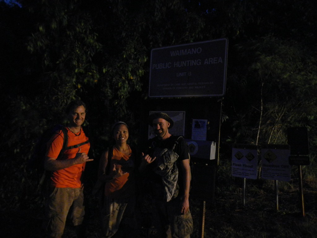
Yeah the date is right, I've been so busy with work and other things I've totally neglected the blog again!
After taking last week off because we had company in town I was anxious to get something good done this week. Despite the recent traffic this segment has seen over the last couple weeks and I'm sure the numerous forthcoming blog posts I decided to hit Manana to Waimano. I've been putting it off since about last October when I scouted out Waimano Ridge Trail which I found to be the easiest 15 miles I'd ever done. I never got around to blogging about it but I'd done it after a midnight shift at work and was amazed how easy it was. The lure of the true KST had pulled me away and I'd just never got back to this segment and it had been bothering me ever since.
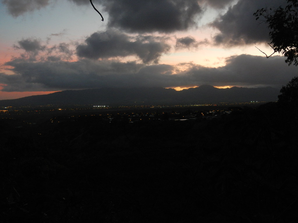
 |
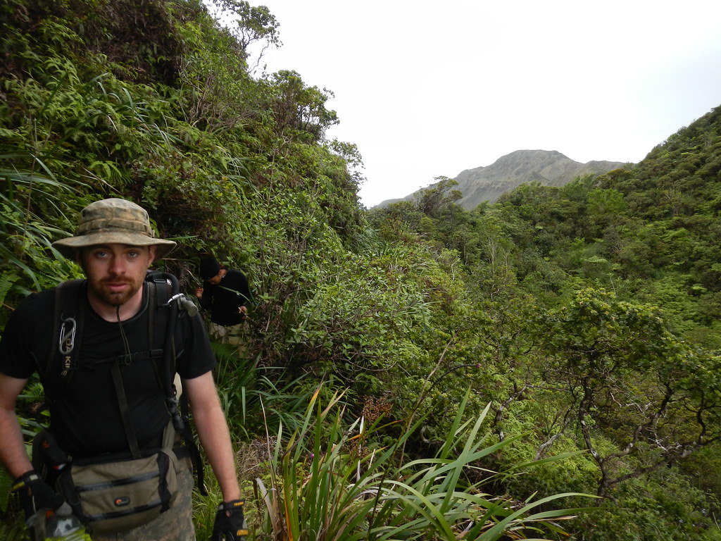
| 0'dark thirty at the end of Waimano Home Road |
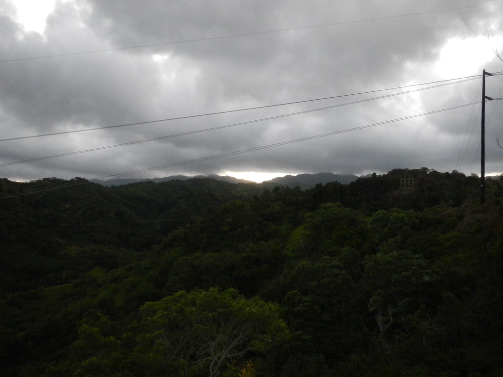 |
| Rays of hope! |
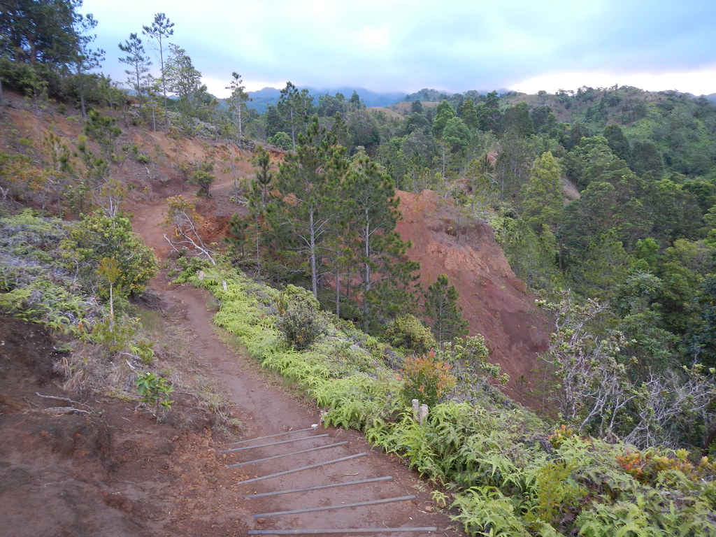
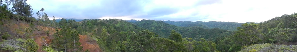
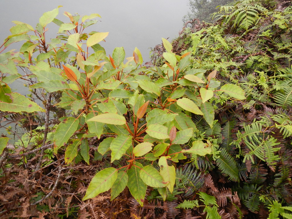
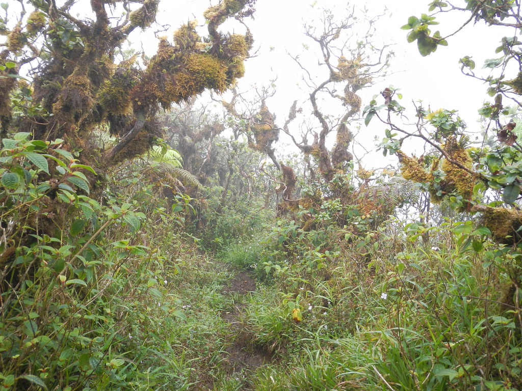
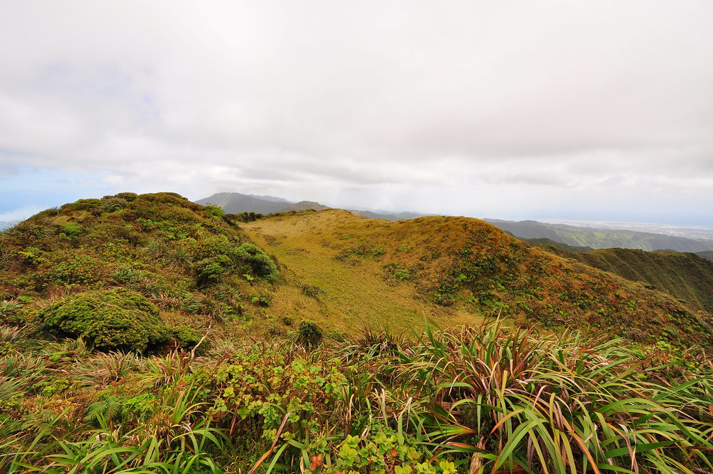
This was my first time on this trail and although I'd seen pictures of it the landscape still shocked me a little. The very first segment is on a road that passes a water tank then goes through an introduced forest of eucalyptus. It then opens to a grassy plain with pines and melaleuca. The pines are what really blew my mind as they're just so uncommon here on O'ahu. The Na Ala Hele folks have done some good erosion control on this segment by installing steps where needed. The Melaleuca trees have also been cut down at some point but their keiki surround the trail so they'll have a long tough battle getting rid of them.

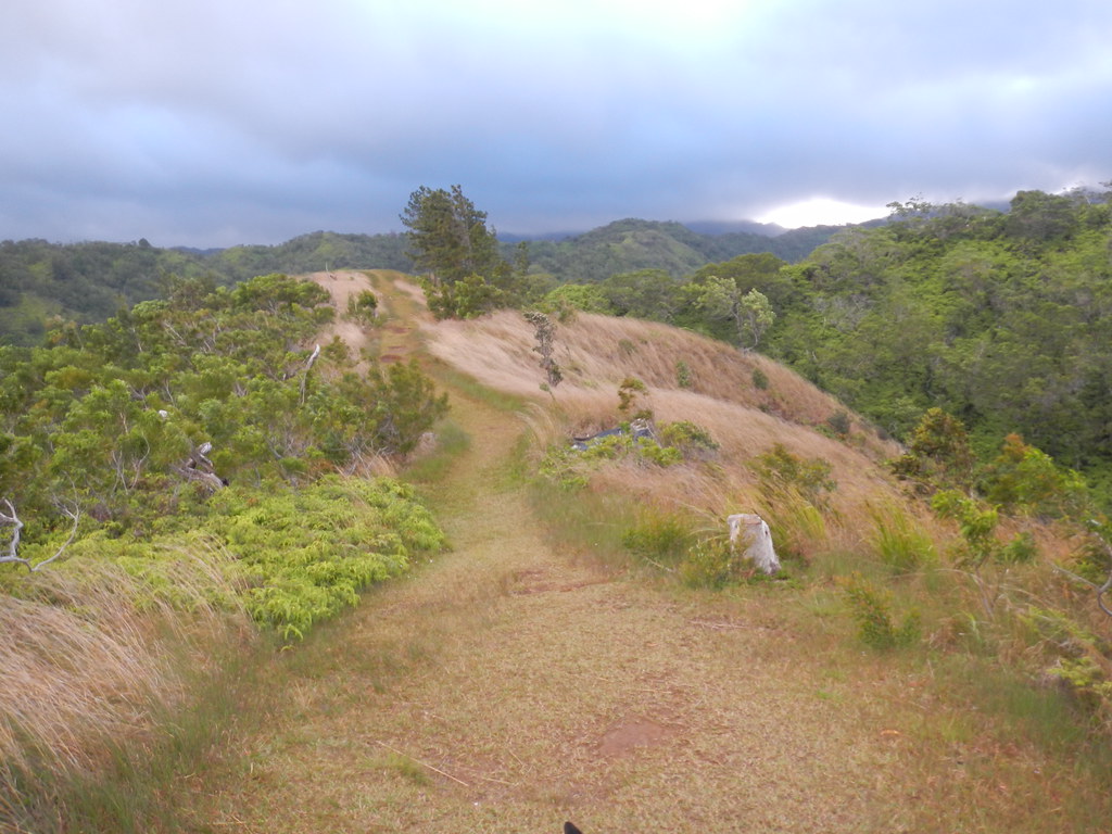
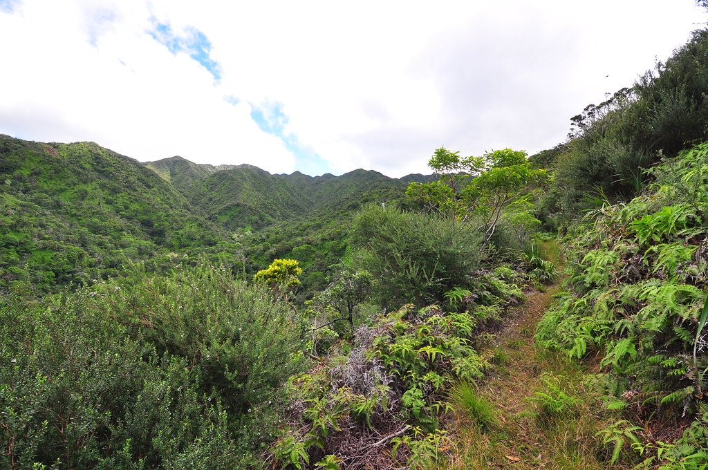
The pines gave way to an open grassy section with a wide open path. Cloudy skies and cool breezes kept us moving along at a good pace.
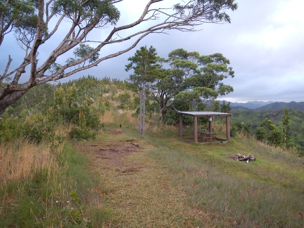
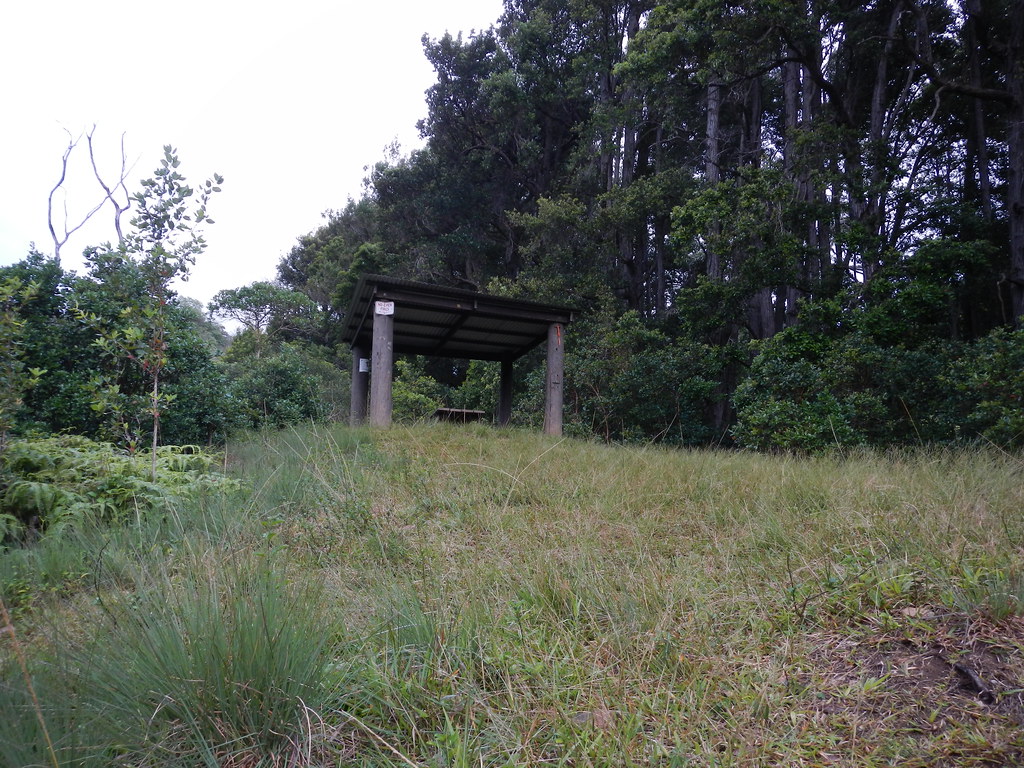
Eventually we passed a typical Na Ala Hele bench and a short time later arrived at the shelter.
Despite the mostly alien species along this section there were occasional reminders we were still in Hawaii like ohia, 'iliahi, and some pukiawe.
 |
| `Iliahi |
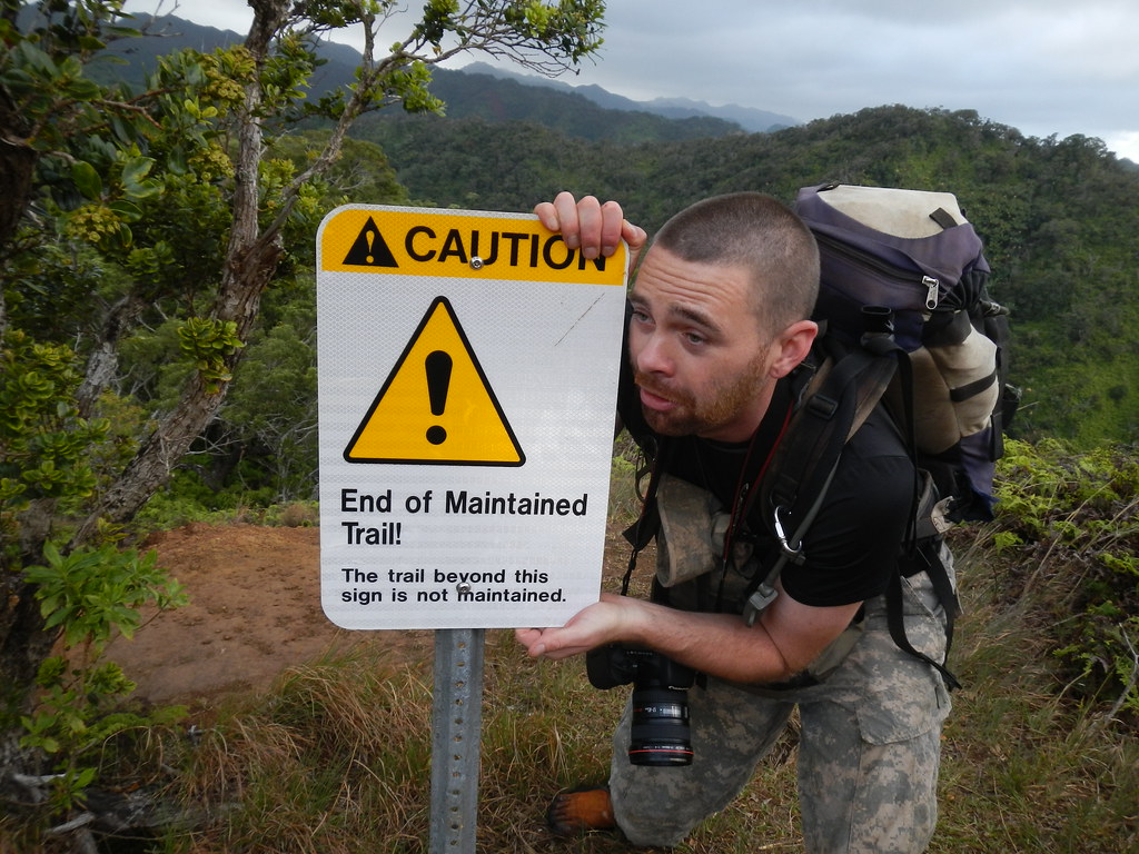
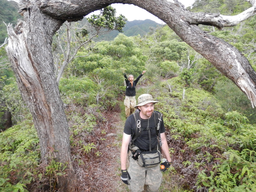
Leaving the shelter behind we continued up the trail until we reached the sign declaring the rest of the trail wasn't maintained. Despite the sign, the trail was still clear thanks to the hard work of the HTMC and since I was wearing shorts the open path was a welcome sight.
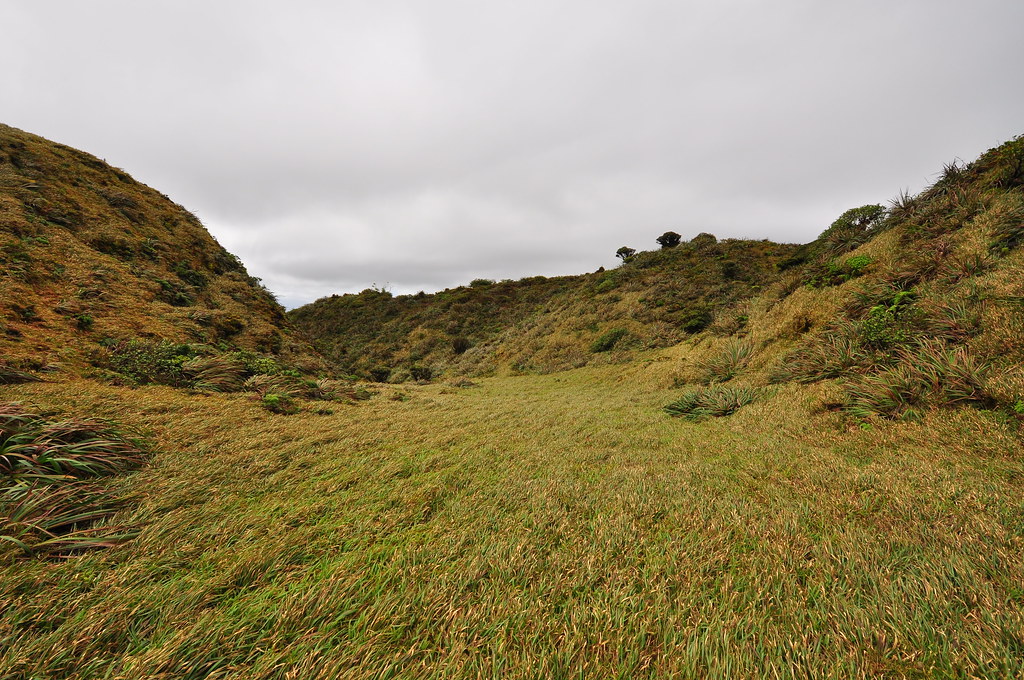
It wasn't long until the ridge began to roll up and down relentlessly. In fact, the bulk of the trail would be a series of climbs and descents with just a few short sections where we'd savor the flat ground. There were plenty of ropes along the way but none were required to progress but were very helpful on the muddy climbs.

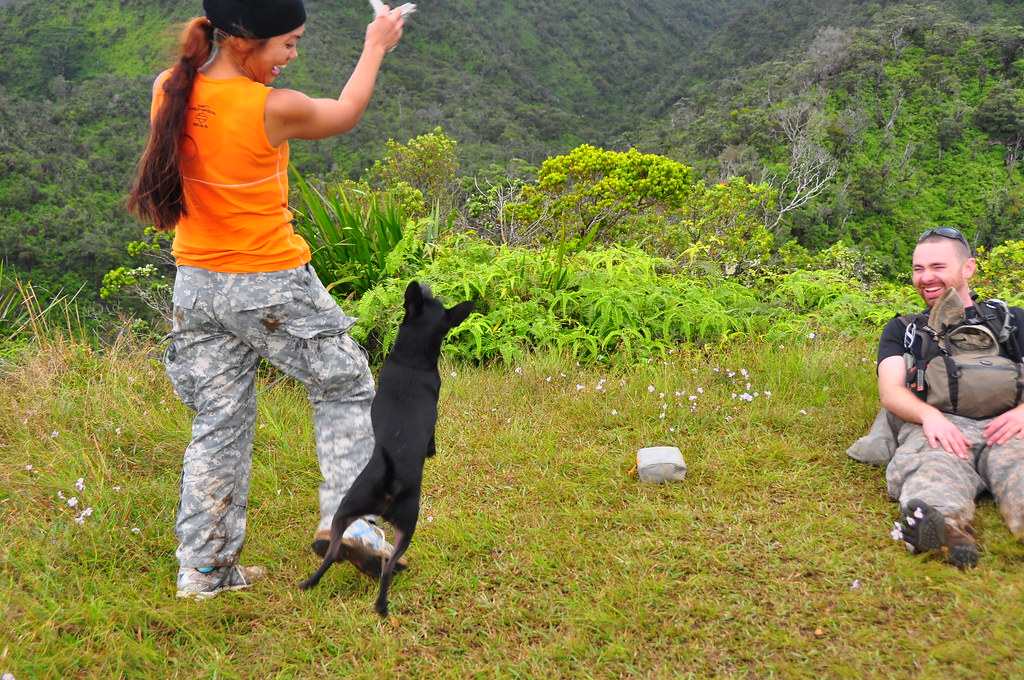
Eventually we stopped at the helicopter landing site. The views down the ridge towards central O'ahu were fantastic. We took a long break while Mike and Agnus threw a pair of gloves around for Marley to chase.
 |
| Get it Marley! |
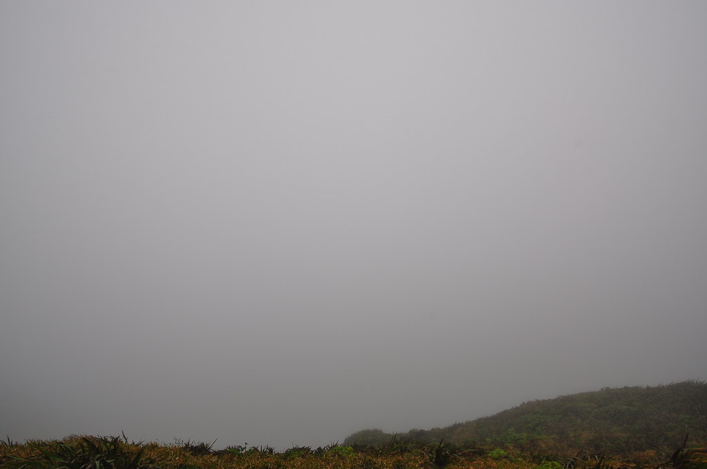
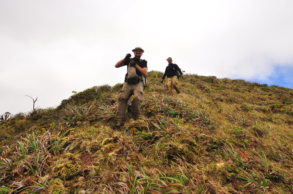
Unfortunately, this was also the spot where the weather turned bad. Clouds blasted down from the summit and it started to rain.
I was ready to throw in the towel but since we'd spent so much time and energy getting this far, we figured we might as well continue to the summit. The winds howled, the clouds swirled around us, and the rains fell.


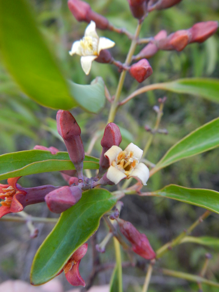
Our views were obscured of the scenery around us but we pounded out the remaining climbs until we reached the summit. I've found that when the clouds roll in I'm less distracted by the scenic views and pay closer attention to the plant life along the trail. One of my favorites appear out of the mist, Lehua Papa, Metrosideros rugosa, found only near the summit of the Ko'olau Mountains is always a pleasure to see. This one looked very healthy and was sporting numerous buds but no beautiful lehua blossums.

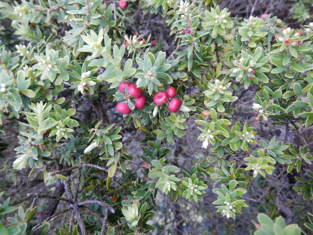
There was plenty of Ohia Ha, Syzygium sandwicensis, another endemic tree in the myrtle family fruit along the trail too. The cheerful red berries are edible and can be faintly reminiscent of the Ohia Ai, Syzygium malaccense, a Polynesian introduction to the islands known locally as the "Mountain Apple".

Further along I spotted some Kalia, Elaeocarpus bifidus, which is a fairly common forest tree I can never seem to remember the name of.
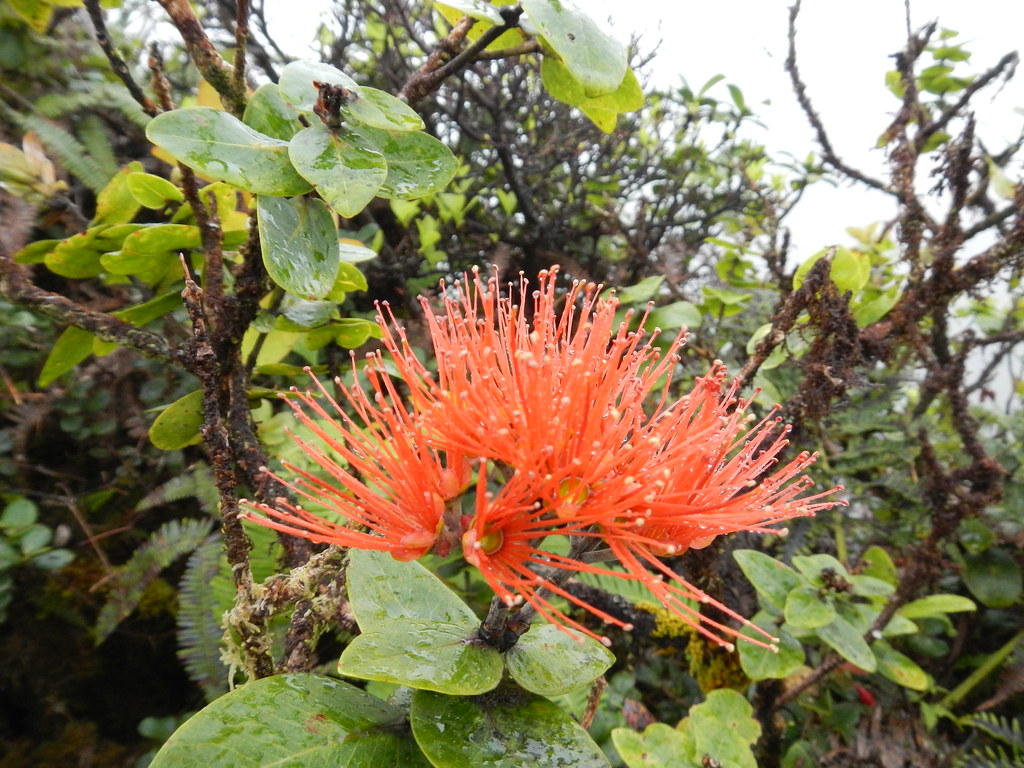
We crossed paths with this beautiful salmon colored Lehua flower too.
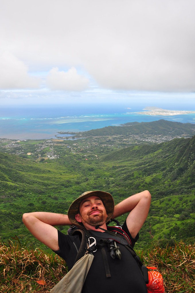
At exactly noon we topped out to the Manana Trail Summit with Marley leading the group.
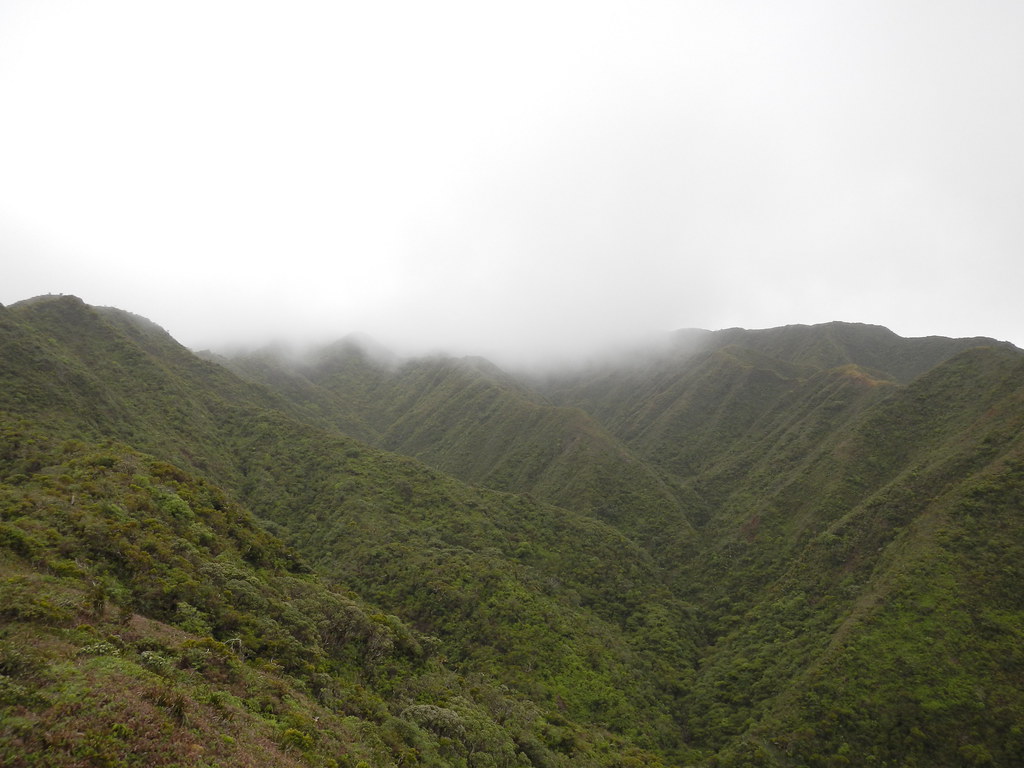
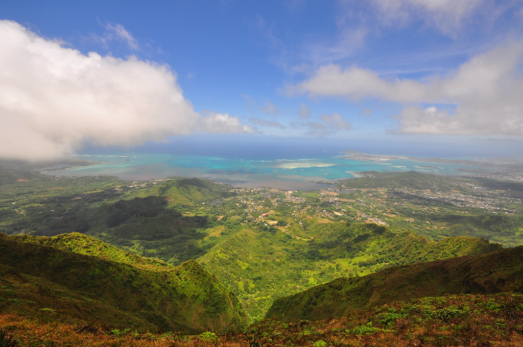
There was no view in the solid cloud deck but twice we got a fleeting glimpse of Kaneohe Bay through the mist.
We sat in in the cavern of moss covered ohia and ate our lunch and posed for some photos.

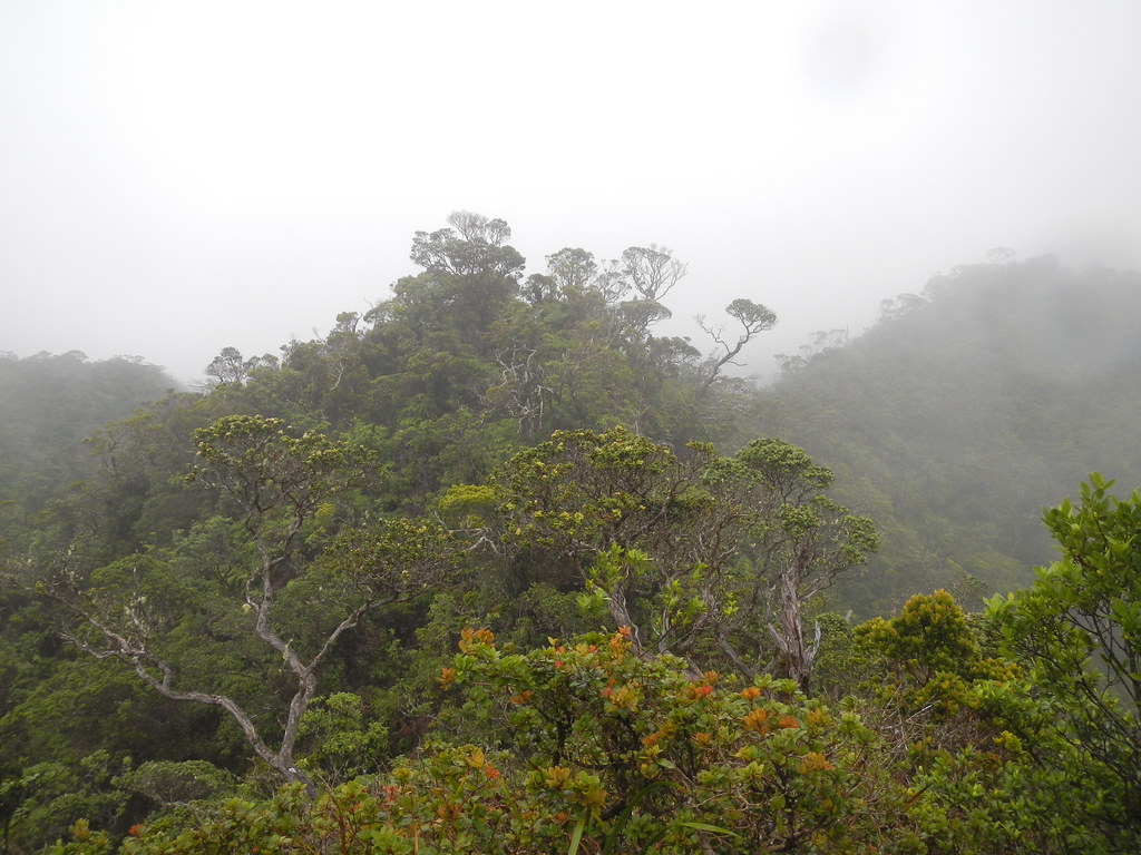
As we waited, I wandered around the summit area checking out the various ferns and mosses enjoying the beauty of the cloud forest.
This little fungus growing on an ohia leaf was something new. After consulting with several experts I'm told that they can't identify it but that it's not responsible for the death of the leaf but is just taking advantage of it. I was glad to hear it because the last thing our native forest needs are any new challenges!

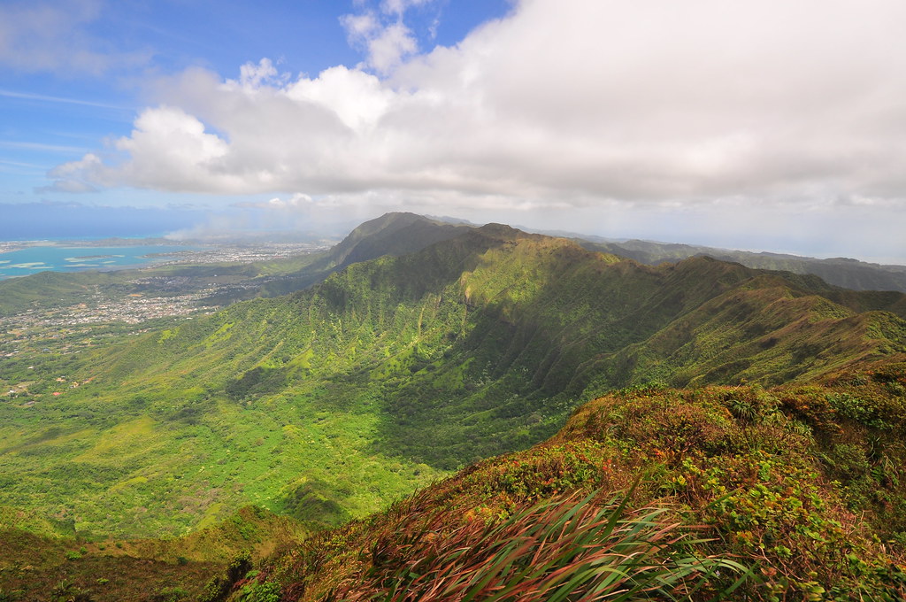
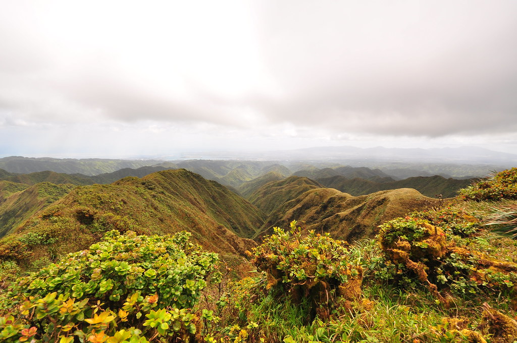
After over an hour of waiting for the weather to improve we decided to head down. None of us were real excited about going back down Manana, especially me. About 5 minuets after leaving the summit we paused and I looked back to the ridge... BLUE SKIES! Hastily we headed back to the Ko'olau Crest to find all perfect conditions for the crossing aside from the powerful winds. We departed Manana at 1:30.
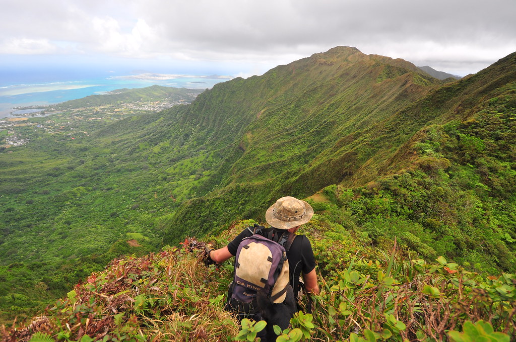
 |
| The view from Manana |
 |
| Looking east from Manana. The second peak is Pu'u Eleao |
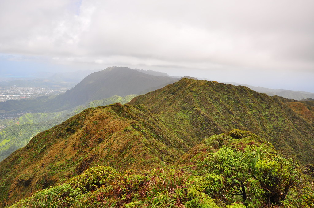
We made a short descent and crossed a small saddle to a peak then another to arrive at Pu'u Eleao at 1:46pm with its grassy windswept summit. Just prior to reaching Eleao we passed this moss coated tree that reminded me of Snoopy.

The summit of Pu'u Eleao is a windswept place. A small marshy valley cleaves it and, as I discovered, funnels the powerful Tradewinds.
I opened my pack and the wind caught my supply of freeze dried apples and granola bars sending them flying towards central O'ahu. I chased after them and managed to get most of them back but I think the trail claimed a couple bags for itself.
 |
| The windy valley where my lunch got scattered |
 |
| Nope, to heavy to fly despite the winds. |
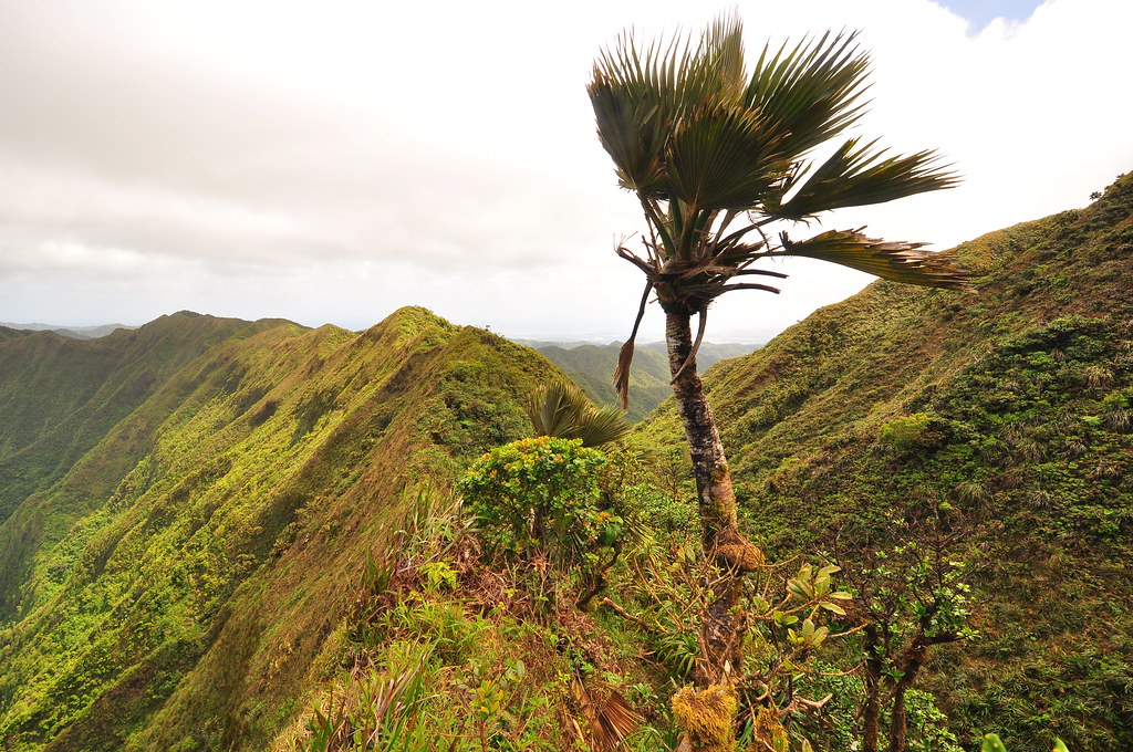
Somewhere beyond this Loulu palm I lost a lens cap and despite a rescue mission down the steep leeward slope it was gone forever... That's okay, Agnes left her new pants and some food back on Manana Ridge somewhere so I think Mike was the only one who finished the trail without losing something!
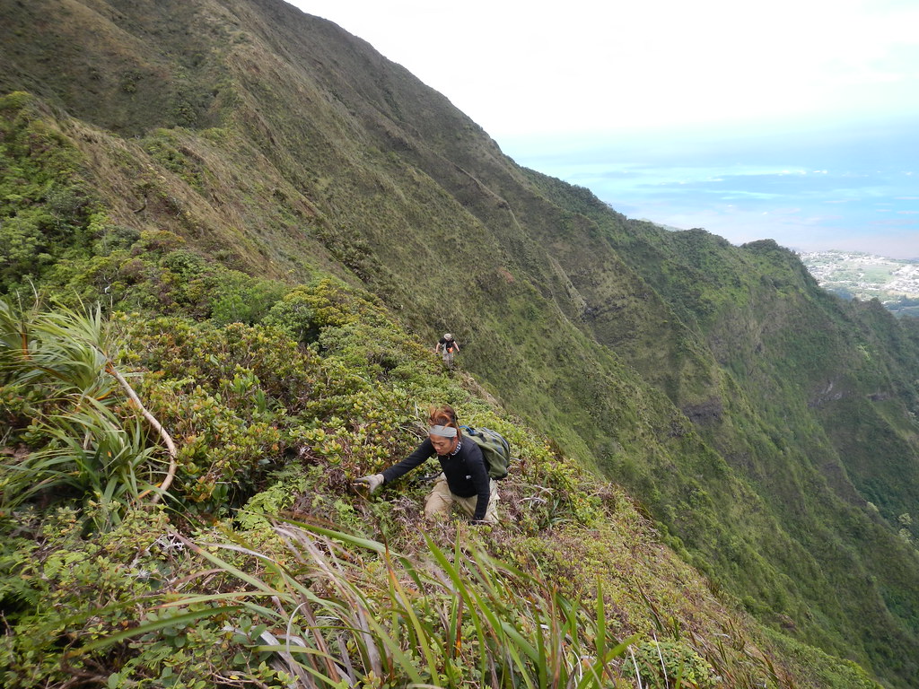
While initially the dominate view of the crossing is of Waiahole and Kahulu'u, after Eleao it is replaced by beautiful Waihe'e Valley.
 |
| Beautiful Waihe'e Valley |
 |
| Descending Pu'u Eleao |

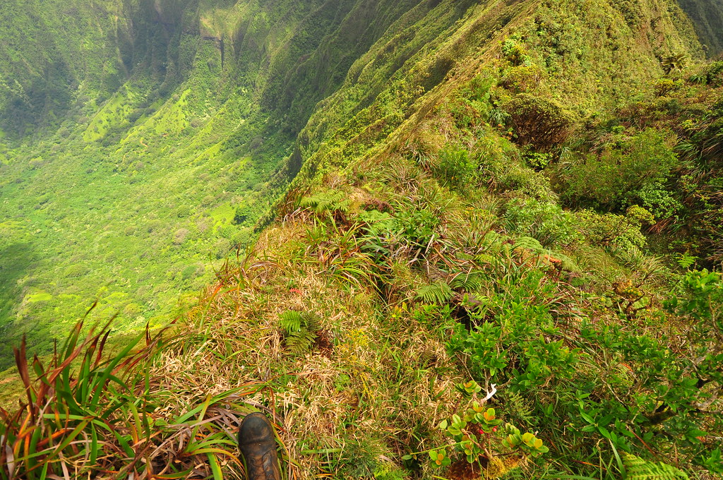
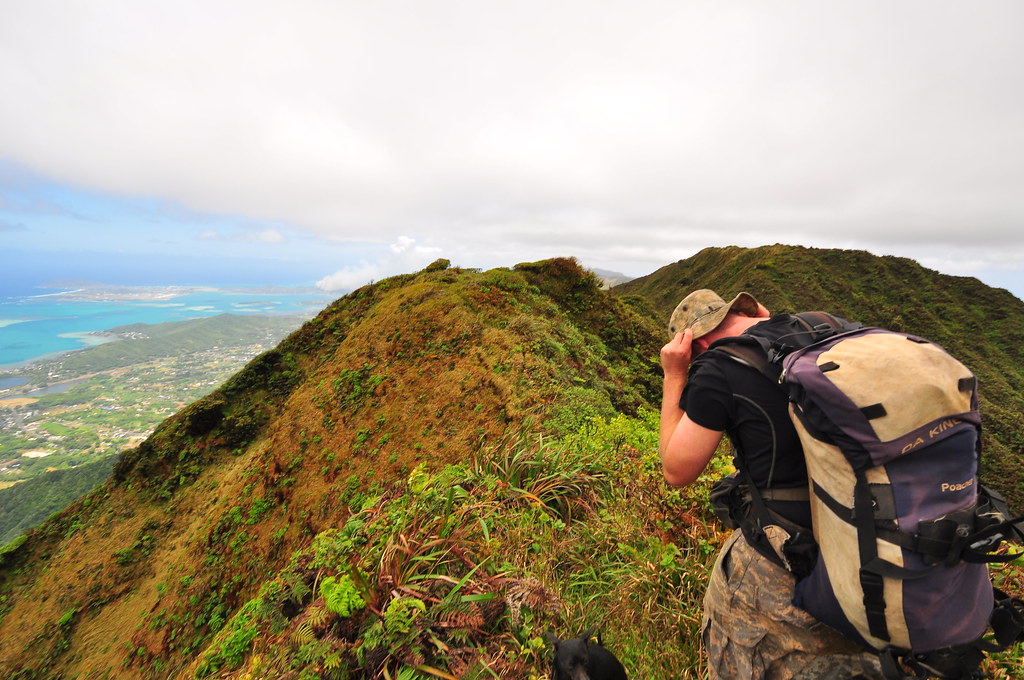
Three toothed peaks later we climbed the last peak before Waimano. Most of the crossing over Waihe'e leaves you exposed to a very long fall into the valley on the windward side but with due regard it's fairly safe.
 |
| Looks worse than it is but don't fall! |
This last peak has a very eroded section where Marley almost gave me a heart attack as she bounded effortlessly along the crumbly ridge-line.

With Mike now leading we made the final descent to the Waimano Terminus and checked off another segment of the Ko'olau Summit! It was now almost 4pm.
We celebrated our achievement with some little oranges growing on the citrus tree there and had a few more snacks to enjoy the view and rest up for the 7.5 miles remaining in the trail.


We departed the summit at 4:25pm on the last leg of our journey.
Everyone complains about the length of Waimano but it's so easy and gentle the miles just fly by. My point and shoot camera was running low on batteries by now so I only took a handful of pictures on the way down to keep track of our progress. I'll be cheating a bit and using shots from last fall when I did Waimano to scout the return leg of this hike.
The upper sections are filled with native plant life. Ho'awa, Ohia, Naupaka, Ohe Mauka, and others line the beautiful graded contour trail cut into the ridges. For the most part the trail is in fantastic shape so progress is easy and quick as it snakes its way downward. Eventually we reached the straightway section lined by Australian Tea trees that marks the beginning of the end of the native forest.
We passed below this koa arch as we continued the downward trek back to Waimano Valley. Lucky for us the HTMC's trail clearing crew had been through recently and the trail was wide open.
A short while later we passed the "4 Mile" marker and then began the series of switchbacks down from the ridge to the valley below- four gentle turns that pass by some type of introduced palm. We then crossed the stream which can be a bit tricky unless you've got Stuart Balls directions but my memory didn't fail me and we had no trouble.
The trail snaked up and along the stream below as we gained elevation to arrive at the shelter at a few minutes before 6:30pm. It's important to note that the trail does NOT come down the ridge to the shelter but from the valley below. There is a trail there but it leads to parts unknown.
 |
| 1828 |

The trail continues to contour below the DLNR and the Waimano Home and this is probably the part that earns Waimano it's boring and long reputation. This part seems absolutely endless as you walk along the easy path just wishing it would end!
Passing another junction we began the slow climb up to the crest of the ridge only to descend into another valley. I didn't dispair because I knew it mean the end was coming quick. By now the sun was sinking behind the Wai'anae Mountians and although the path to the car was easy to follow I was pretty tired of walking.
Finally we reached the road leading up to Waimano Home and the final segment which is a third of a mile walk along a chain link fence that keeps you out of the DLNR's baseyard. At about 7:30pm we exited the trail where the two security guards were nice enough to take a group photo for us.
Manana to Waimano was a great hike. Manana is filled with ups and downs but the view at the end is worth all the effort. The crossover is short and straightforward although the descent from Pu'u Eleao, as others have reported, would be confusing in the clouds so I recommend you do it only if you're familiar with the ridge or if it's clear weather. We were incredibly lucky this day that the weather cleared for us and that it stayed clear right up until the time we left Waimano's summit. Another great day on the trail!!

More pictures from this trail and others I've done can be viewed on Flickr. Aloha and mahalo for reading!

XJ,
ReplyDeleteDid you guys see any of those aliens from the movie BattleShip up there? I swear when we watched the movie I could see you and your posse moving along in the bush.
Frank
Beautiful! I love the pictures. This is what I envision paradise to look like. Simply amazing! I wonder if it is possible to visit this place next year? I so wanted to go. If you have any scheduled, can I join?
ReplyDeleteAloha Theresa,
ReplyDeleteI'm glad you enjoyed the pictures, they can't even come close to capturing the beauty of this place though! Unless you're an experienced hiker I'd recommend that you stick to the State of Hawaii's trail system rather than do a summit crossing unless it's with someone local who's familiar with the trail. Manana and Waimano Trails are partially maintained by the State but the summit section between them is not and can be dangerous and confusing especially if the clouds roll in. I usually hike Tuesdays so when you get closer to your visit get in touch with me and hopefully you can join us for a trip into wild O'ahu!