August 30, 2011

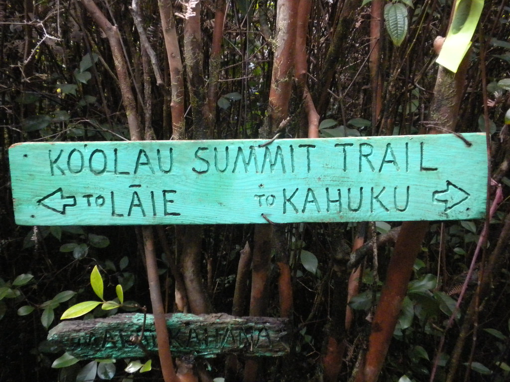
After getting familiar with the Malaekahana and La'ie trails last week I figured it was time to tie up the southern end of the Ko'olau Summit Trail. The everything I'd read and heard said this would be the toughest segment of the KST not because of the terrain, but because it's always overgrown and muddy. We weren't disappointed!
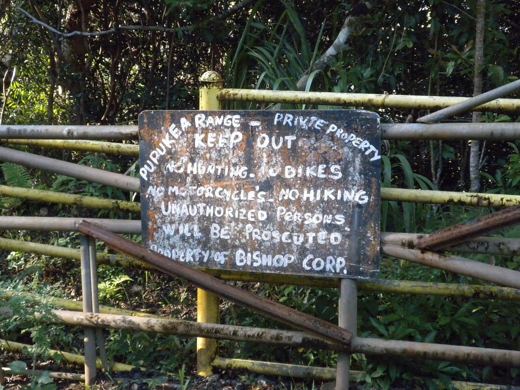
We dropped II's car off at the La'ie field and headed over to Pupukea Road. At the very end of the road is the Boy Scout Camp and metal gate. We parked on the side of the road well out of the way of both the camp and the ranch on the other side. It was exactly 7:30am when we headed up the gravel road and hoped the first gate.
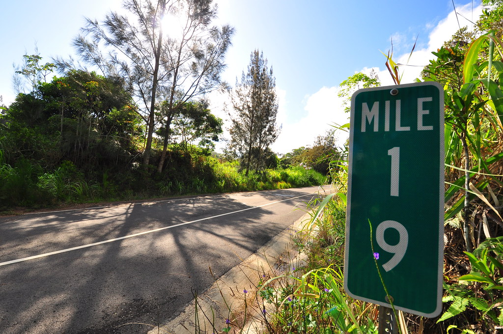
Today I was relying almost completely on Stuart Ball's "Hiking O'ahu" book to get up to the summit trail and then on my memory of what I'd read about the segment from various sources online. Nothing I'd seen was very current but all looked well as we started off up the gravel road just past the Boy Scout Camp at the end of Pupukea Rd. We never saw the cattle loading ramp Stuart Ball mentions and when the gavel road turned into a paved road with a second gate on the right we were pretty shocked. Left along the road seemed like the right choice based on our directions but the asphalt was really throwing us so out came the Droid. Back Country Navigator seemed to indicate that we should bear left onto what was now a paved road. The gated road was the Paalaa Uka Pupukea Road which continues to snake it's way across the lower forest regions to Kamehameha Highway near Whittmore Village.
 |
| Shelter along the road |
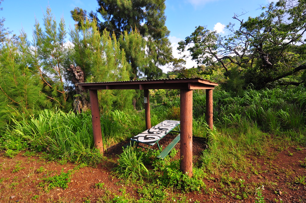
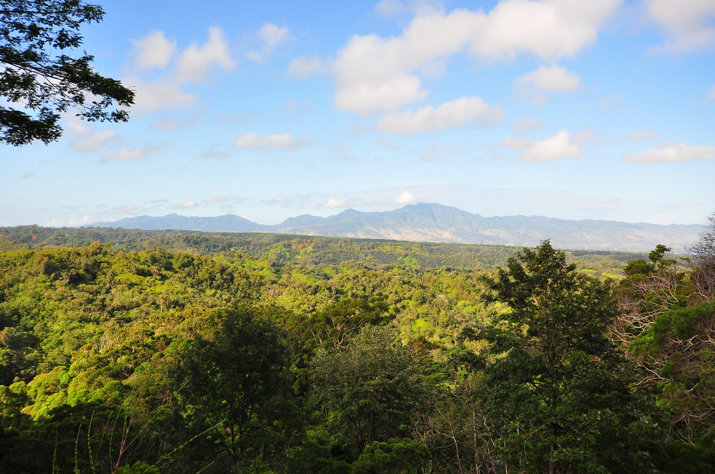
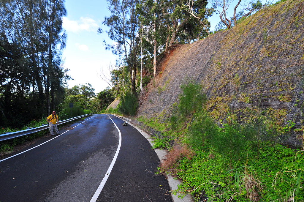
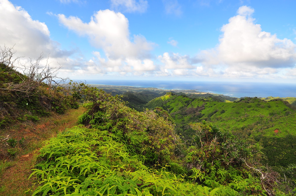
It seemed really odd to have this beautiful new paved road heading into the wild back country of the Ko'olaus. We marveled at the amount of money it must have cost to build it considering the grade had carved into huge chunks of the ridge which had obviously been recently redone. While I don't think the road is brand new, it can't be that old either given the fantastic condition of the road, guard rails, and signs. Winding our way up the road we passed a nice little picnic bench shelter that it looks like the Boy Scouts built at some point. There are some really fantastic views of central O'ahu too.
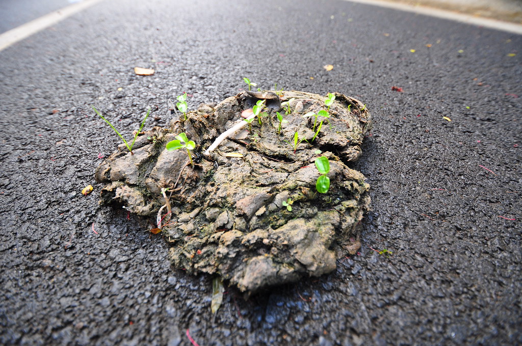
I stopped periodically to see what kind of plants were growing roadside and in the erosion matting they had been placed along slopes. At one point we happened upon a couple cow pies in the road. This one provided a great example shot of how alien species spread through cow poo.
 |
| Finally we get off the asphalt! |
Ball mentions a grove of cook pines in his book... We never saw them if they still exist. Back Country Navigator saved the day again when I realized we'd passed what must have been the start of the Pupukea Trail about a hundred yards back. It had been easy to miss because it was just one pink ribbon tied around a sign post at a small clearing off to the right side of the road.
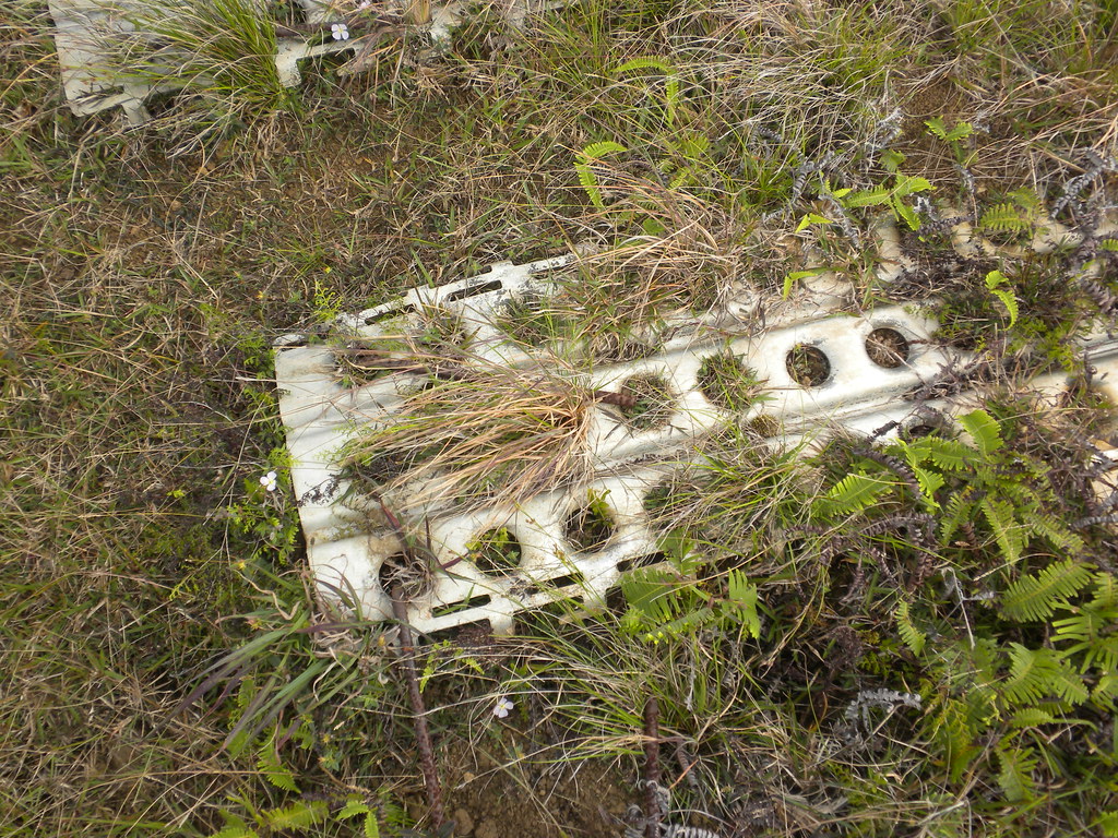
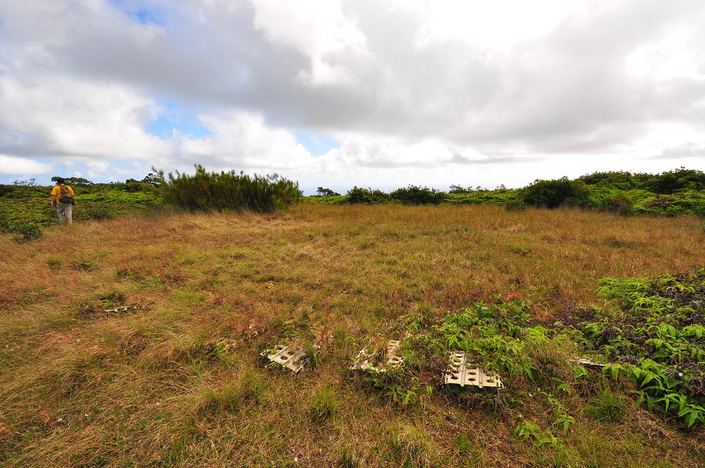
Starting up the trail I immediately recognized the scenery from a few of the pictures I'd seen online. The trail was in great condition but just slightly overgrown. It took us less that twenty minutes to reach the junction with the Ko'olau Summit Trail, the legendary Black Junction, and the so called "Summit Lookout". We opted to check out the "Summit Lookout" before setting out for La'ie. After less than five minutes we'd topped out to a large clearing with metal landing mat.
 |
| The Landing Zone |
 |
| View from the landing zone |
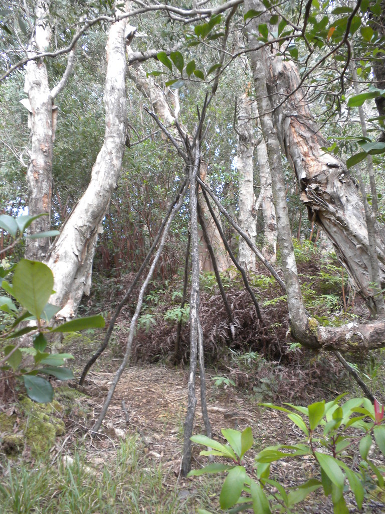
Once back at the junction, we headed up the KST which was in still fairly decent condition. A little way down the trail we found a tipi... didn't see that one coming.
 |
| Clear trail |
 |
| Tipi, not expecting this. |
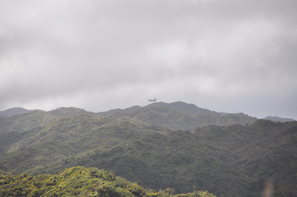
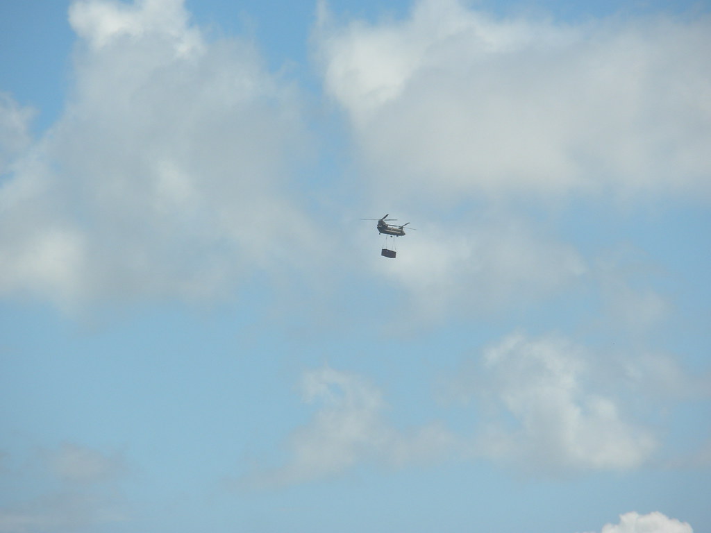
I remember this portion of the trail spending a lot of time on the leeward side of the crest so it was a little bit hotter. At one point the unmistakable sound of a loaded helicopter filled the air. We spotted a CH-47 with a large payload heading towards the Ko'olau Summit from the direction of Wheeler. Immediately my interest was piqued! We watched it disappear behind the ridge but the sound of the blades hacking their way through the air under the heavy load was still very loud.
 |
| CH-47 delivering payload |
We also spotted areas of massive pig damage. These weren't the typical areas of routing, these were large areas completely destroyed by their activities. This type of activity not only kills the endemic plants that were here, it opens up space for invasive species to grow which will in turn crowd out the endemic plants nearby. The wallows of standing water will also provide a breeding ground for the mosquitoes which carry the avian malaria that had devastated the endemic bird population. This is exactly why the KST was built back in the 1920's- to provide a means of controlling the pig population.


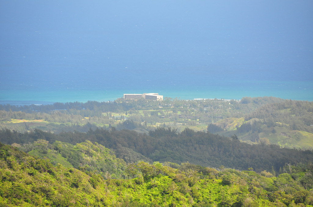
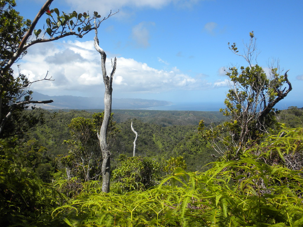
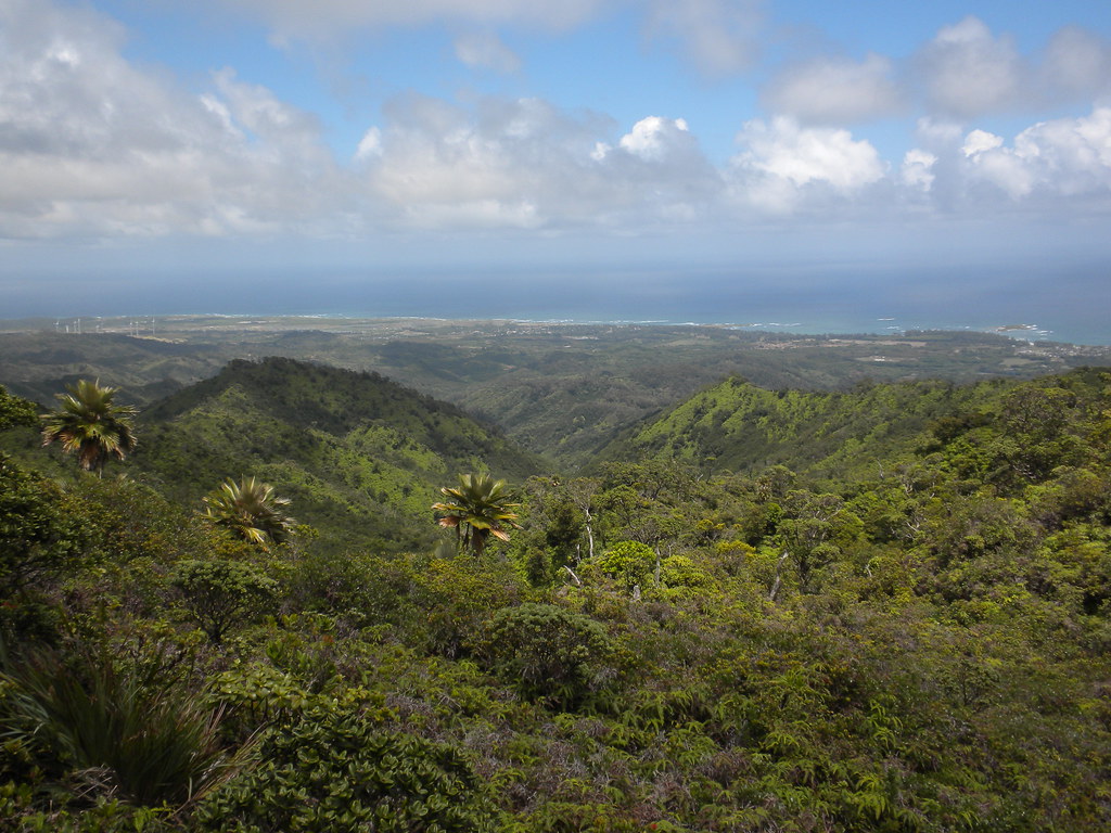
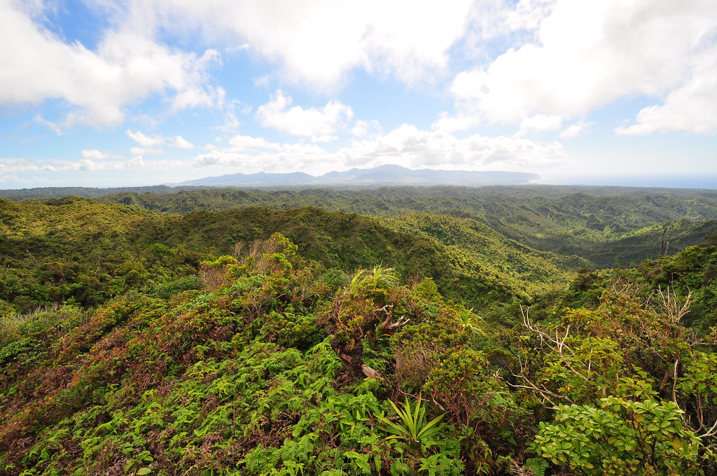
Moving along we arrived at a pu'u named "Hina" according to the geodetic markers. This is considered the Pupukea Summit but it's also the junction with the seemingly abandoned and lost Kahuku Trail that was built between 1924 and 1926. The Army's Pupukea to Kahuku Trail was Territorial Superintendent of Forestry Charles S. Judd's, inspiration for the entire Ko'olau Summit Trail. Back when it was built the Pupukea / Kahuku Trail was five feet wide, graded, and six miles in length. The views here were great!
 |
| Wailua and central O'ahu |
 |
| Haleiwa |
 |
| Turtle Bay Resort |
 |
| Kahuku Army Training Area / HECO Experimental Wind Farm |
|
|
|
 |
| Looking up the Ko'olau Volcano's Flank |
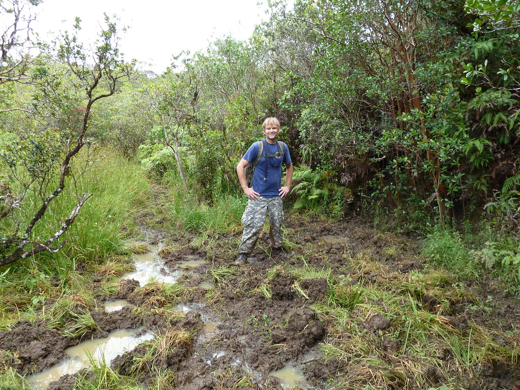
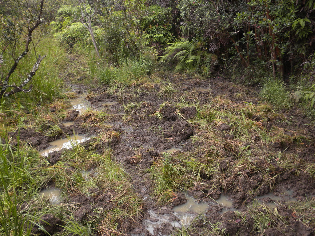
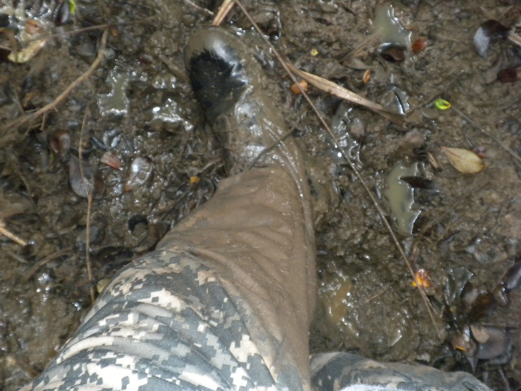
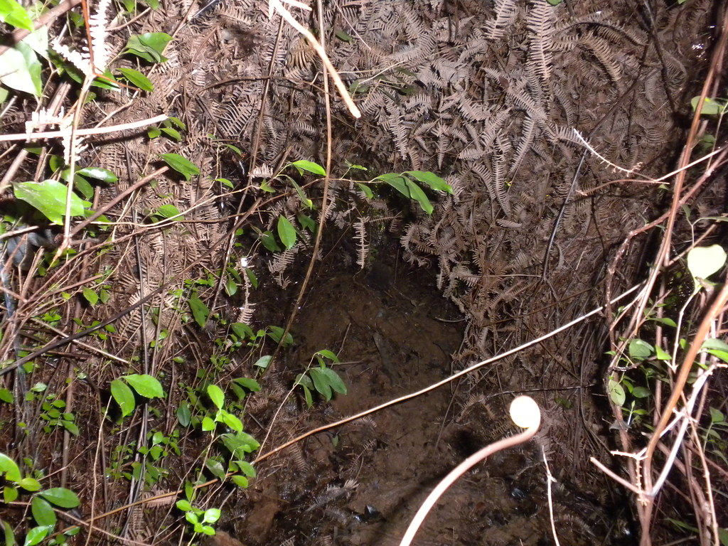
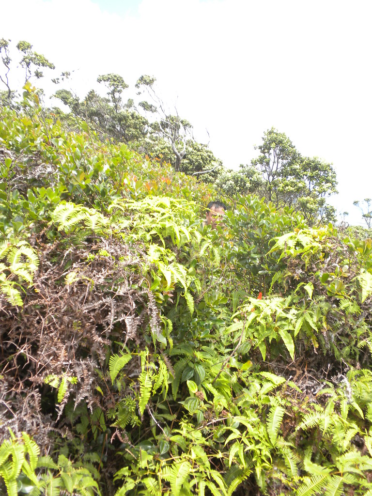
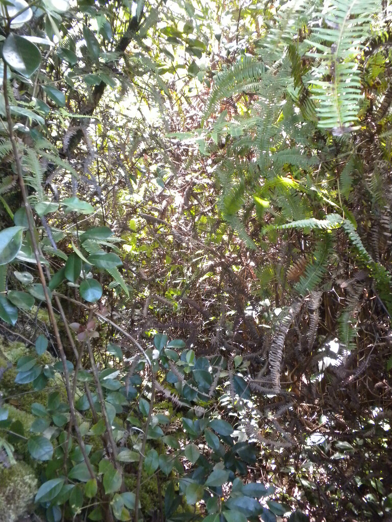
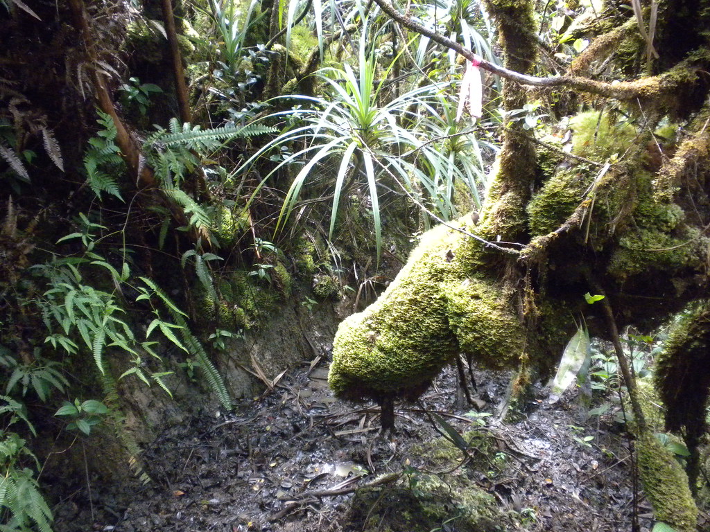
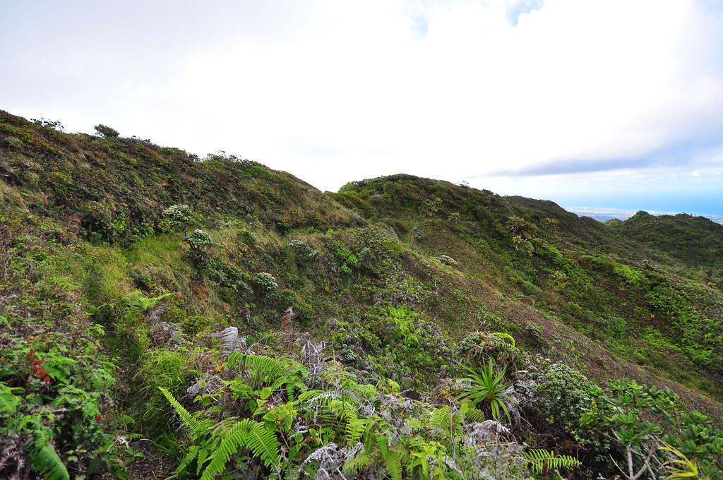
Past this point the conditions deteriorate. The trail became more of a tunnel in many areas. Progress was slow and the views were rare on this section of the trail. I spent the majority of the time with my sunglasses on to protect my eyes and my hands up to try and break the onslaught of uluhe and strawberry guava which pulled at me like a million tiny hands trying to hold me back. The mud was also relentless along the trail and at one point we literally had to get down on our hands and knees and crawl through it to keep going.
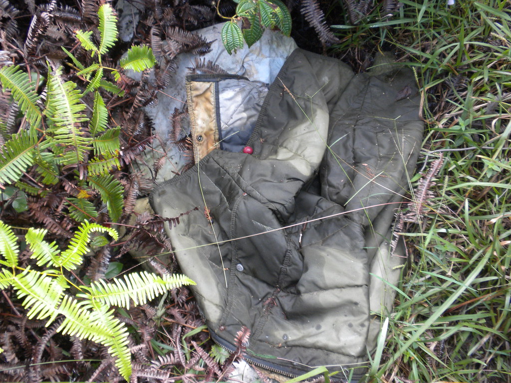
I don't think this section ever dries out and some of the bogs were deep enough that they reached the tops of my jungle boots. Speaking of jungle boots, looks like someone attempted this in a pair of Nikes. Looks like someone else forgot their jacket and sleeping bag too.


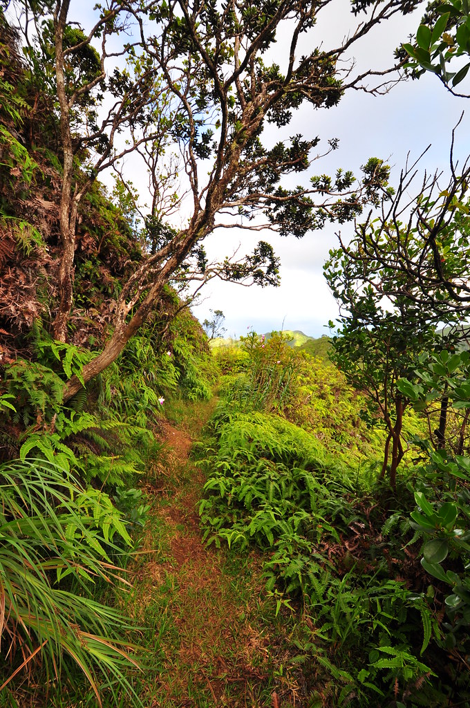
Most of the trip past the Pupukea Summit to Malaekahana was overgrown to the point it was what some would call miserable, others unpleasant, and I, uncomfortable. The mud doesn't really bother you if you're wearing the right footware, it's the constant scratching of the uluhe and strawberry guava that kill the mood. Long pants are highly recommended and even a long sleeve shirt to help protect your arms might be a good idea. I even found myself wishing for a pair of safety goggles after being poked in the eye a few times. Backpacking though here with any kind of stuff hanging outside your pack would be a bad idea because everything that can get snagged does. Despite the challenges, the views, when we weren't tunneled in, were great.
 |
| II Pushing through. |
 |
| Fun, fun, FUN! |
The KST continued to wander from leeward to windward side steadily gaining altitude. It's hard to which sections follow the original grade and which are more modern. The windward sides are more scenic because the wind keeps the vegetation lower and they're far more pleasant as the breeze keeps you cool. The leeward sides are hot, stuffy, and overgrown.
 |
| This velvet green moose was grazing along the trail. |
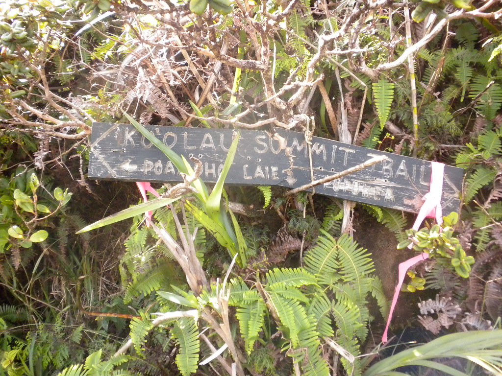
After leaving the Pupukea Summit, our next junction was the Ko'olau Short Cut created by Bill Gorst. It connects to the Malaekahana Trail. We were certainly ready for some better trail conditions which I knew were coming.

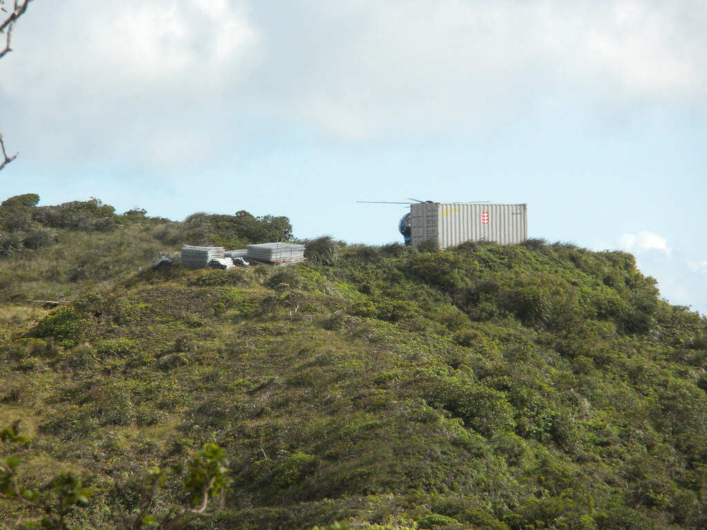
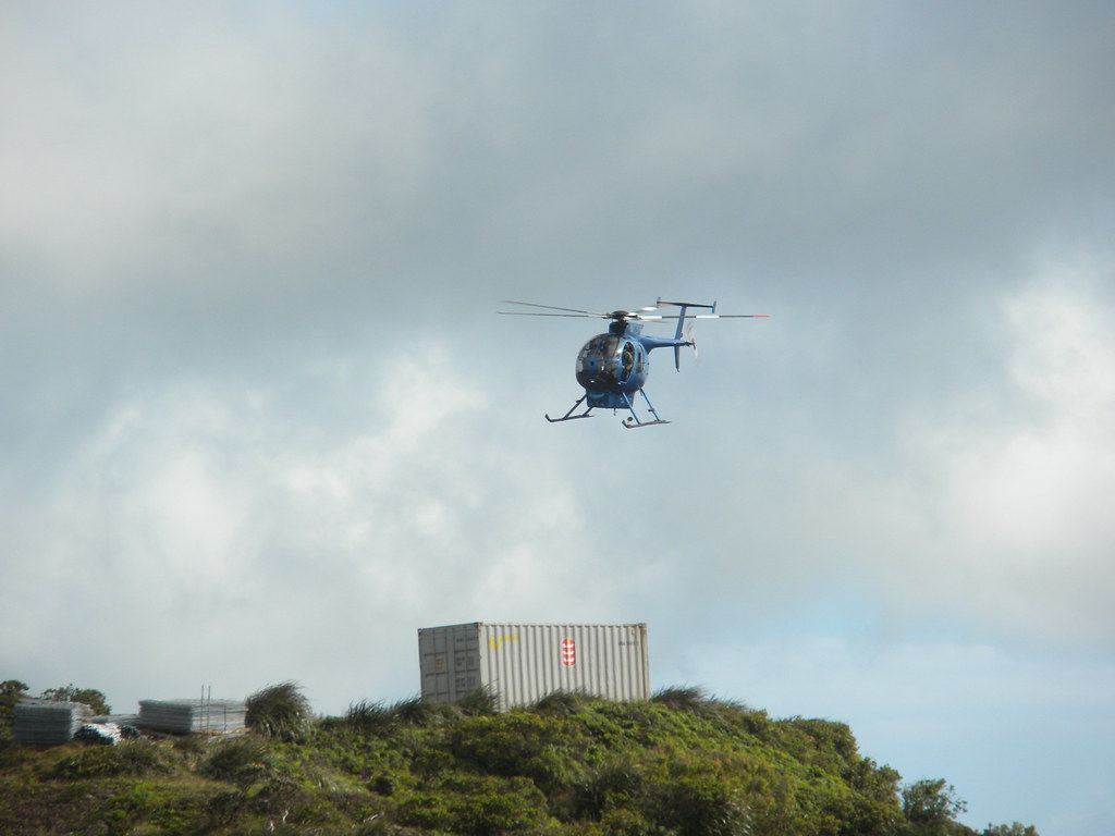
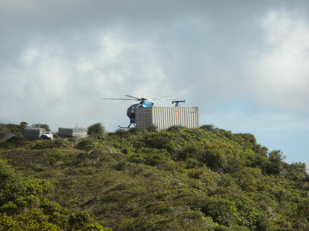
Again we heard the thumping of a heavy helicopter in the distance and caught another glimpse of a CH-47 hauling a shipping container away from the Ko'olau Summit. I was hoping we'd figure out what they were up to at some point.
 |
| This really galls me... get it? Galls me? |
Every once in a while I'd spot some native plants in the strawberry guava that seems to line the entire tail. One ohia we passed had more Psyllid galls on it than I've ever seen. It was badly disfigured.
"Adult female Psyllids lay their eggs halfway inside the leaves of their host plant, and the hatched young then enter the leaves to feed on them. As they feed, the nymphs secrete substances that stimulate abnormal plant growth, forming galls over the feeding nymphs.
The nymphs remain in their protective galls until they are ready to emerge and molt into mature, winged adults. Although the strange-looking galls are quite conspicuous, the small, adult Psyllids are inconspicuous and not often observed."
(1)
 |
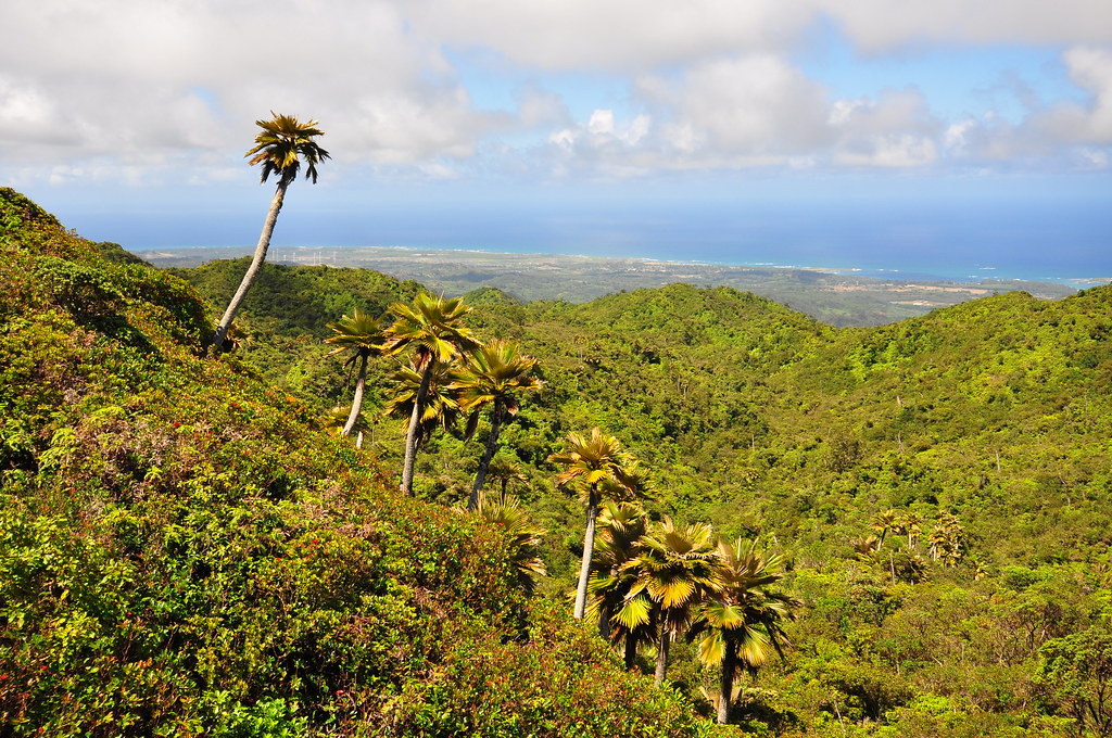
| Loulu palms above Kahuku |
All along the summit area there were varying shapes and sized of Loulu palms. These pritcharidas are the only palms endemic to Hawaii and their numbers have dwindled due to habitat destruction and the introduction of the polynesian rat which eats their seeds.
Despite my 10mm lens' wide angle, it's still very difficult to capture the vast area that makes up the northern flank of the Ko'olau volcano. This is the most remote area of O'ahu.
 |
| Ahhhhhhhhhh... If you're as antisocial as I am this is about as good as it gets! |
Finally we reached the Maleakahana Junction where the trail improved quite a bit. Since I covered this section of the trail last week I'll skip ahead to La'ie Junction. If you missed it, you can read about it
here.
 |
| Something is missing here.... |
We continued to hear helicopter activity despite seeing the CH-47 head back to Wheeler AAF earlier. I was itching to know what was going on!
Now that the trail was well defined I pulled out ahead of my hiking partner a little to try and see what I could find out. I passed the La'ie Junction and continued up the KST hoping I would learn what the choppers were up to. The trail condition improved even more and I was able to cover a lot of ground fairly quickly. I called II on his cell phone to let him know I'd continued past the junction and to wait for me there. In about 15 minutes I arrived at a vantage point where the mystery was solved.
 |
| A Section of the KST beyond La'ie Junction |
Sitting on a small hill in the vicinity of the Kaiwailoa Trail Junction were large stacks of metal fencing materials and a shipping container. The Hughs 500 helicopter was just about to lift off as I rounded the corner. I continued up the trail for a while until I was just across a small gully from the materials. I called out to see if anyone had been left behind but it seemed everyone had left for the day. It was after 4pm so I figured it was time for me to turn around and get back to the La'ie Trail and my partner. After placing a call to II to let him know I was headed back his way and to just start down and I'd try to catch up.
Once back at the La'ie Junction I hurried to catch up while still trying to enjoy the upper sections of the trail that had been clouded in last week.

About 20 minutes down the trail I managed to catch up with II. He was also impressed with the condition and construction of La'ie after spending the day battling the overgrown portions of the KST.
About half way down with head the call of the bird I've been jokingly referring to as the Pyterodactyl of La'ie. It's calls continued as we made our way down to the stand of cooke pines where the trail meets the dirt road. We saw a large white bird making its way across the valley that looked about the size of a cattle egret. Still no luck in identifying the bird responsible for the evening serenade.
Other than an encounter with a guy riding a dirt bike the rest of the trail was uneventful. I took a couple shots of the sun sinking behind a wall of ironwood trees and a final shot of a blurring II speedwalking to his waiting car.
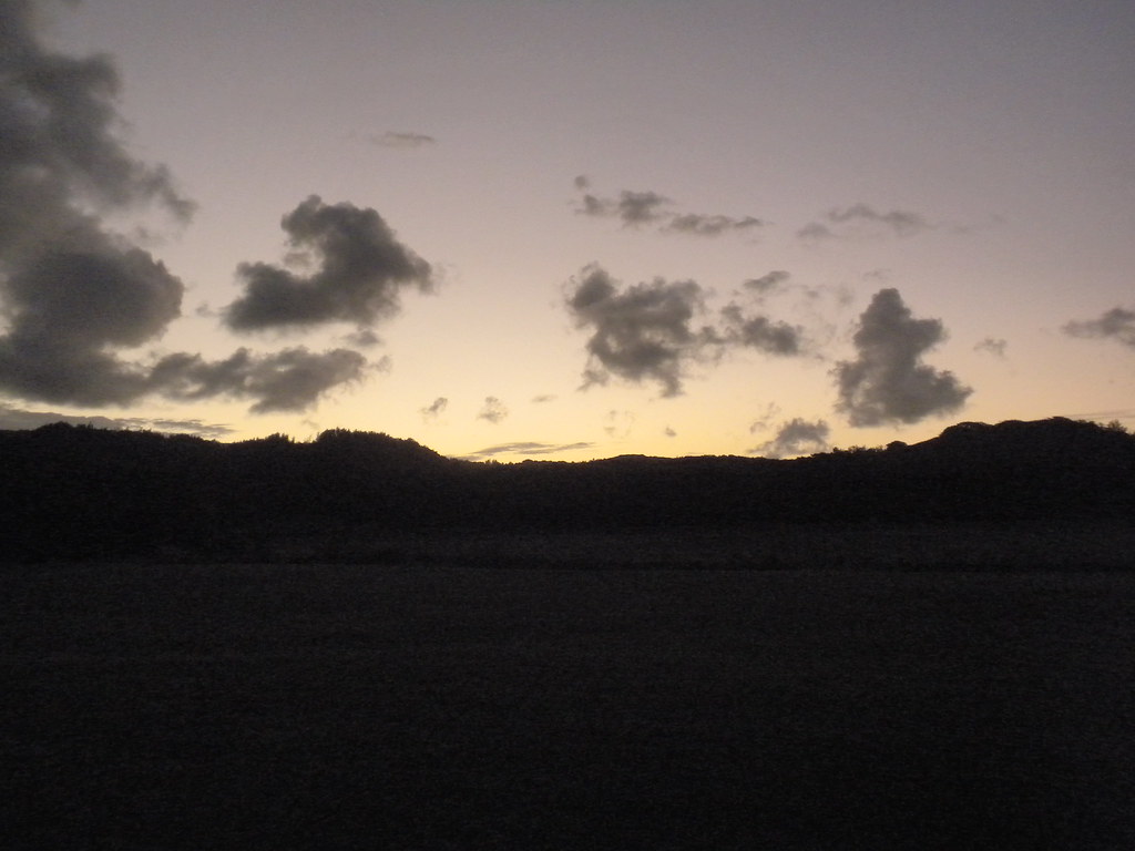
On the drive back to retrieve the Jeep at Pupukea Road, we enjoyed the cool evening and twighlight and reflected on what a great day we'd had on the historic Ko'olau Summit Trail. Lucky to live Hawai'i nei!
More pictures from
this trail and others I've done can be viewed at
Flickr. Aloha and thanks for reading!
Resources:
(1)
The Firefly Forest Discovering and enjoying nature
http://fireflyforest.net/firefly/2010/06/02/ohia-psyllid-galls/
 |
| La'ie Trail |
 After getting familiar with the Malaekahana and La'ie trails last week I figured it was time to tie up the southern end of the Ko'olau Summit Trail. The everything I'd read and heard said this would be the toughest segment of the KST not because of the terrain, but because it's always overgrown and muddy. We weren't disappointed!
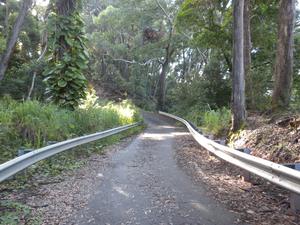


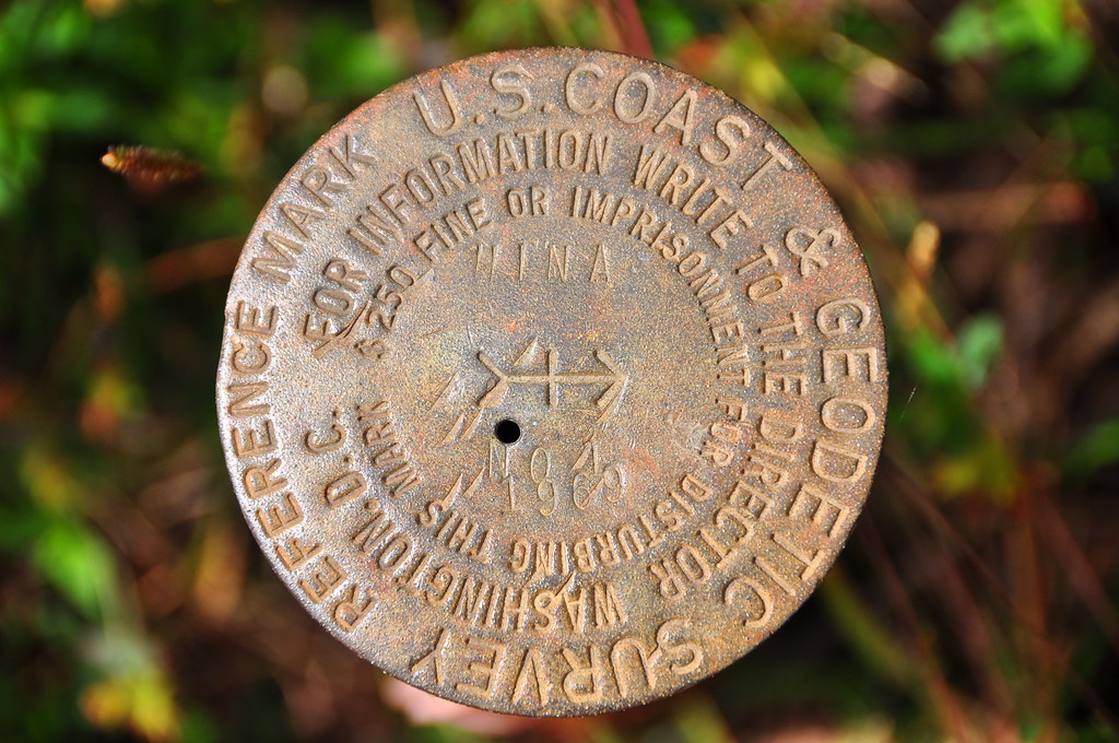 Moving along we arrived at a pu'u named "Hina" according to the geodetic markers. This is considered the Pupukea Summit but it's also the junction with the seemingly abandoned and lost Kahuku Trail that was built between 1924 and 1926. The Army's Pupukea to Kahuku Trail was Territorial Superintendent of Forestry Charles S. Judd's, inspiration for the entire Ko'olau Summit Trail. Back when it was built the Pupukea / Kahuku Trail was five feet wide, graded, and six miles in length. The views here were great!
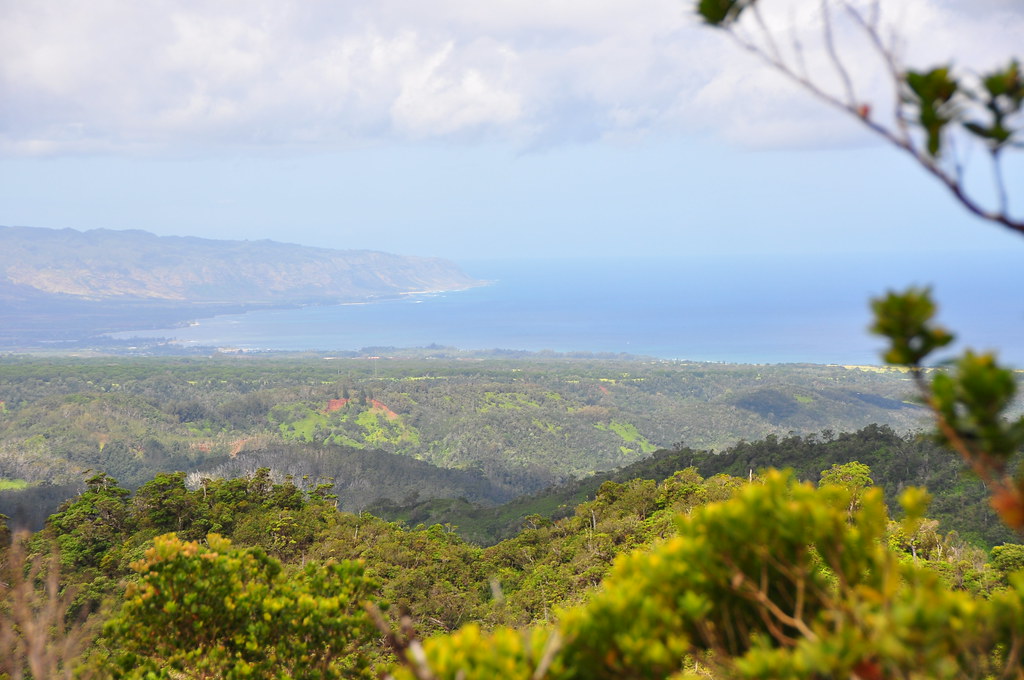


 About 20 minutes down the trail I managed to catch up with II. He was also impressed with the condition and construction of La'ie after spending the day battling the overgrown portions of the KST.
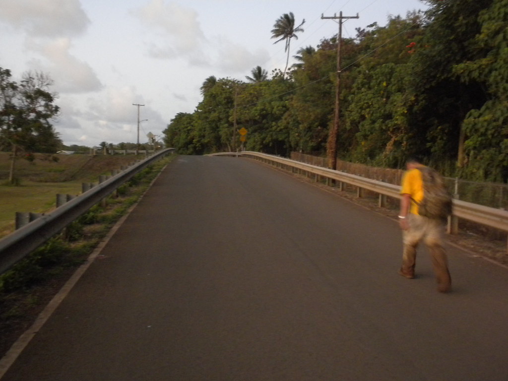
Hey, XJ. The harsh, screamlike call you've heard while hiking the Laie trail is probably the cry of the tropicbird. It often sails in pairs through the gulches of the Koolauloa. Though graceful in flight, the bird's piercing, prehistoric squawk is far from melodic, and at certain times of the day can be quite unsettling. At first it resembles an egret, but the tropicbird's long, long red or white tail feathers, which show up nicely against the green canopy of the forest, will help distinguish it from that bird.
ReplyDeleteGreat! That's been bugging me and I haven't had any luck with an ID. Mahalo Bouki!
ReplyDeleteI walked along that trail on a rainy day, the group I was with was quicker than I and I was left behind in that slippery narrow path area. What was supposed to be a fun trekking became very difficult. I eventually got to the highest area but several times i slipped and realised if I had fallen down the ravines no one would probably know since the forest is thickly covered and the noise of your own body and steps opening the way in the mud covers the other sounds.
ReplyDeleteNevertheless I experienced the Hawaian wilderness that is impossible to feel all around the coastline
Aloha Elina,
ReplyDeleteI'm glad you enjoyed your journey and made it out safe! The summit trail is already fairly difficult with the normal mud and the overgrowth so a rainy day really makes it really challenging.
I was up on the Laie trail a couple weeks ago, and there are actually a pair of Cockatoos living in that first cook pine grove! Escaped pets, I would assume. They have a loud raven like shriek and are very vocal. A couple months ago there was only one up there. Looks like he found a friend.
ReplyDeleteHere's a video, did they sound like this?
ReplyDeletehttp://www.flickr.com/photos/xjcreations/6077610553/
Fantastic photos. Thank you very much. Have spent several weekends at Malaekahana as well as Gunstock ranch and wondered about the wilderness above them. A great feeling to look at the pictures of the view from up there. Thank you
ReplyDeleteFantastic photos. Thank you very much. Have spent several weekends at Malaekahana as well as Gunstock ranch and wondered about the wilderness above them. A great feeling to look at the pictures of the view from up there. Thank you
ReplyDelete