Today's trail was actually an accident because I had planned on doing Schofield-Waikane. I'd driven all the way up to California Ave and started up the trail but the military was out in full force and I was without a permit. Not wanting any trouble, I headed back to my car and to regroup.
 |
| California Ave |
The only clues I had for the location and route of the trail were a nine year old map from Waianae Steve and the dashed lines on the government's topographic maps of O'ahu which are so old they don't even have H-3 on them. I parked my car at the La'ie ball field and headed up the same road that leads to both the La'ie and Malaekahana Trails just before 1030. I suspected that the road I'd mistakenly taken when doing the Malekahana to La'ie Loop a few weeks back would be a good way to get to the Kahuku Trail.
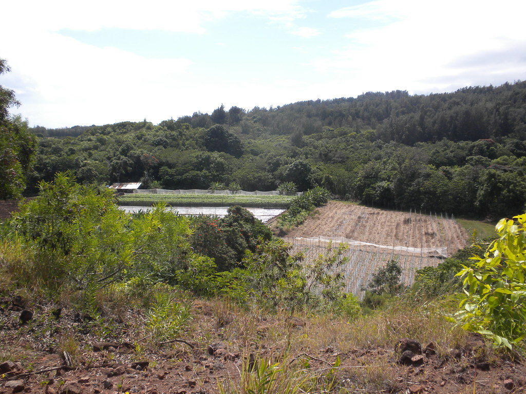
Continuing past the Malaekahana trail head I took the next left a few yards beyond. The road curved and climbed gently until I reached a pasture gate. After passing the gate, I saw some ribbons descend down to the right of the road so I followed them. They led me down a small ravine and then to a junction where blue ribbons continued and some pink ribbons split to the left. I opted for the pink ribbons which led mauka.

Shortly thereafter, I had to pass through an overgrown section filled with some kind of weed. That only lasted for a few minutes and soon I found myself at the gate of the Sky Ranch.
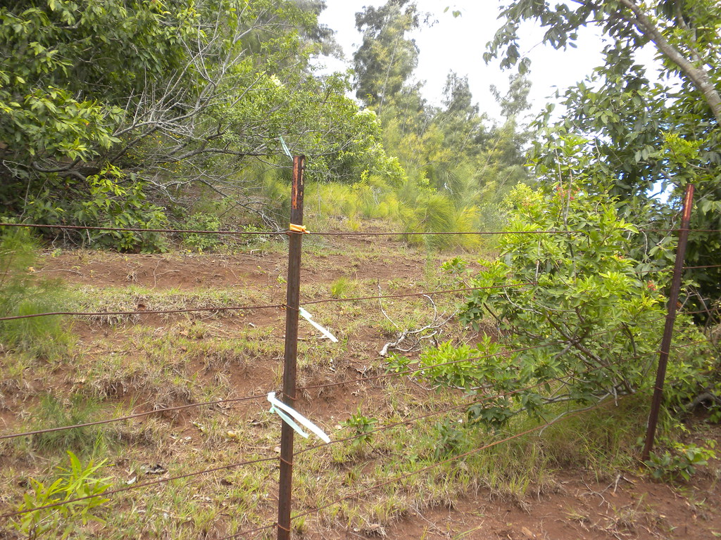
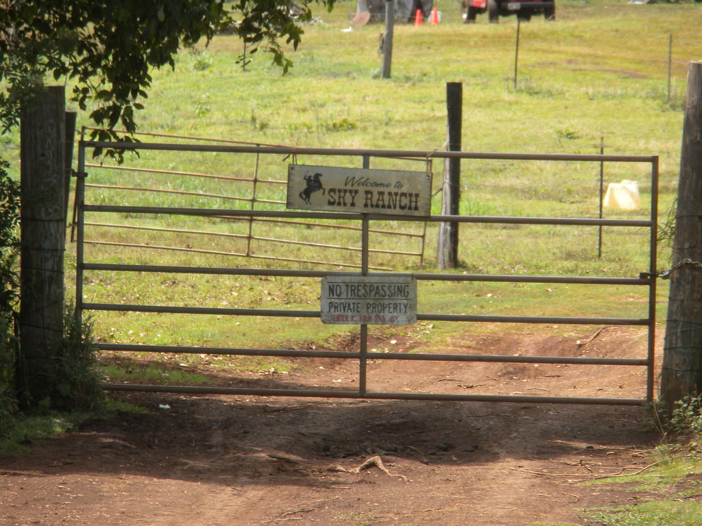
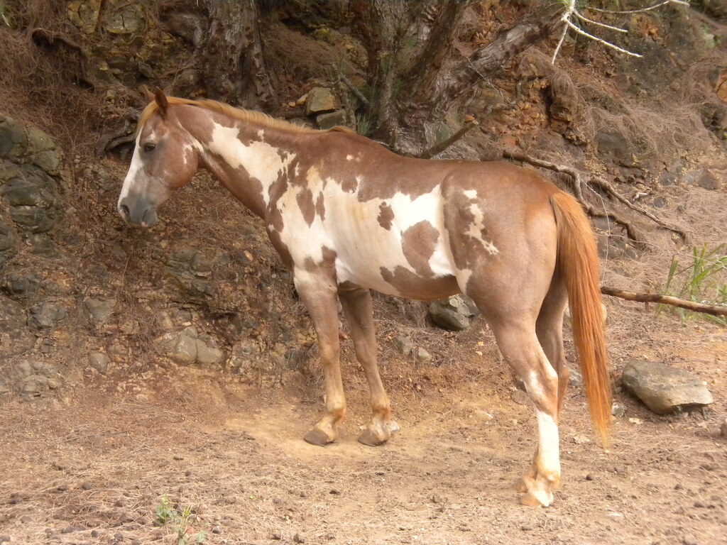
Thankfully nobody seemed to be around to yell at me so I continued past their front gate along what looked like a horse trail. The trail paralleled the fence of the Sky Ranch westbound and only a short time later I spotted some ribbons on the fence and a trail of them leading west. I opted to continue along the fence instead for a short time and ran into a horse pen. About the same time as arrived near the horse I set off a chorus of barking by what had to be at least 10 dogs at the property I'd inadvertently stumbled onto. Wanting to avoid any confrontation at all, I headed downhill as quickly as possible to get away from the chorus of barking. After a short time I looped back up a dirt road and arrived back where I started at the gate of the sky ranch. I head up the horse trail again and this time went under the fence and followed the ribbon trail.
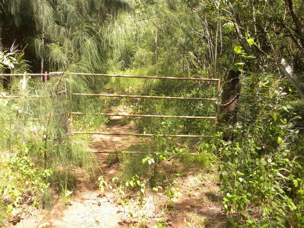
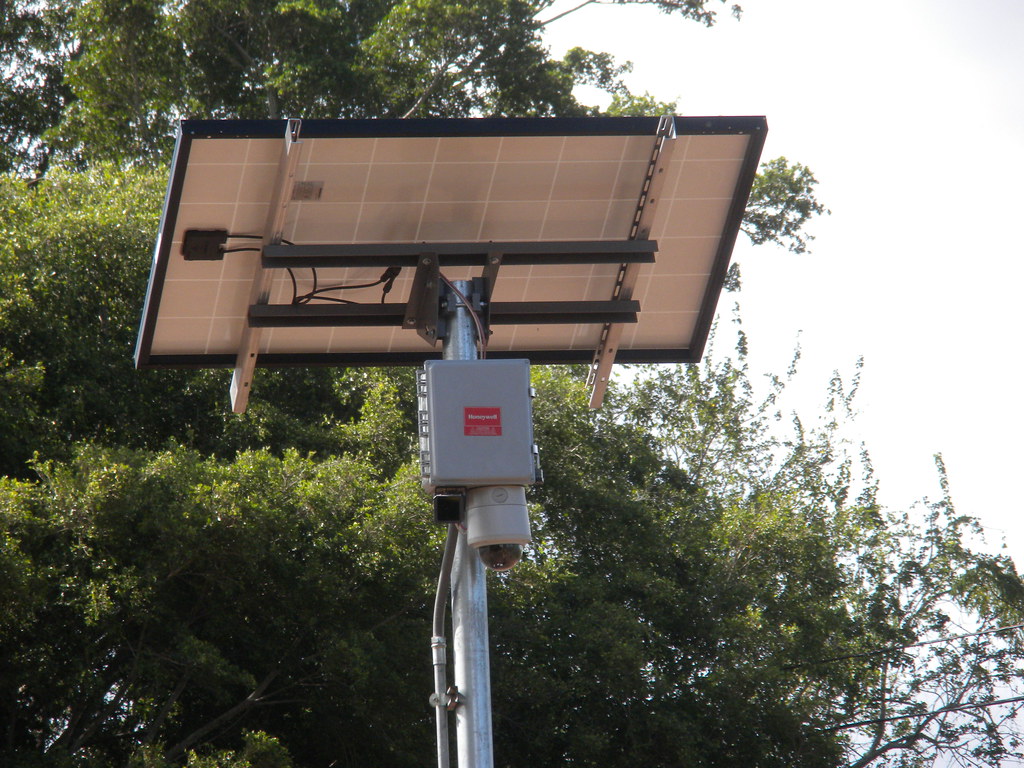
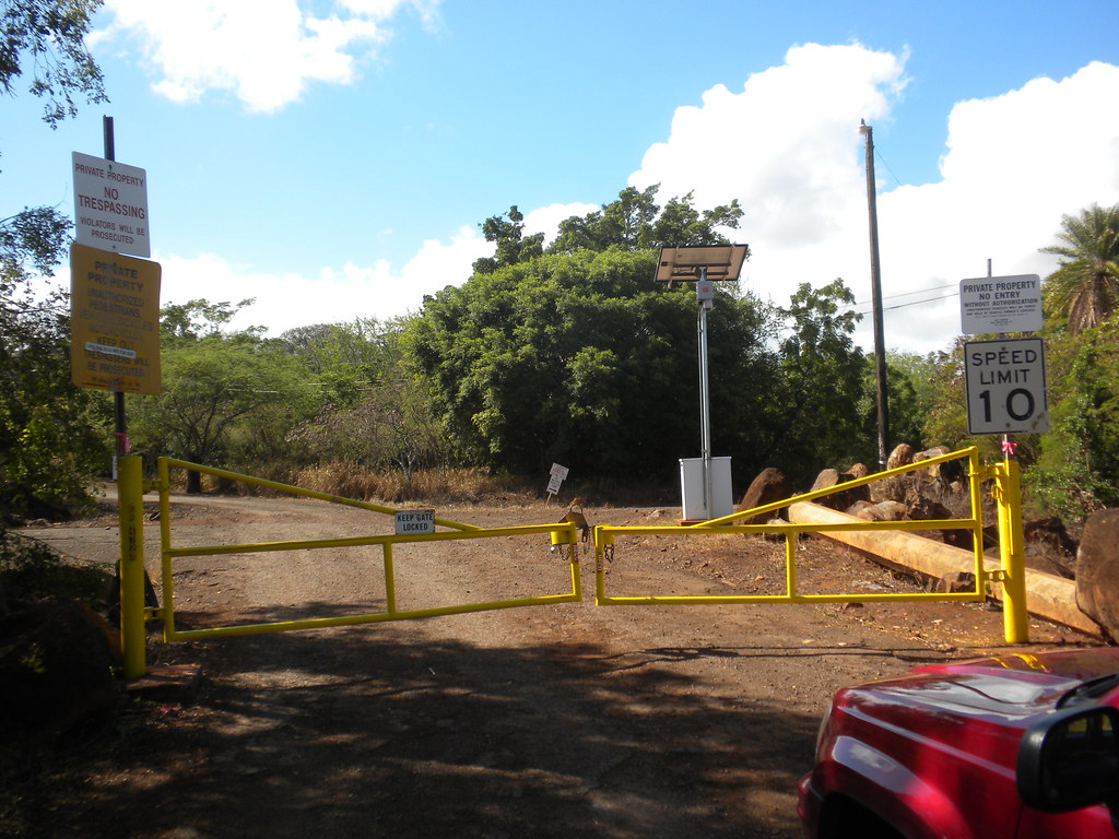
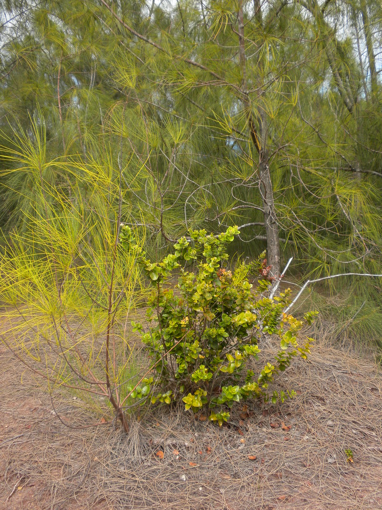
It led through a grove of ironwood trees and eventually made a hard right then left depositing me on the same horse trail / road. I guess someone has designed it to stay just far enough from the dogs to keep them from going crazy. The road continued to a gate that I went through and then continued down hill to another junction with a dirt road. I took a left and followed the road to where it split with a ranch style gate on the left and big yellow metal gate on the right announcing this was part of the Army's Kahuku Range.
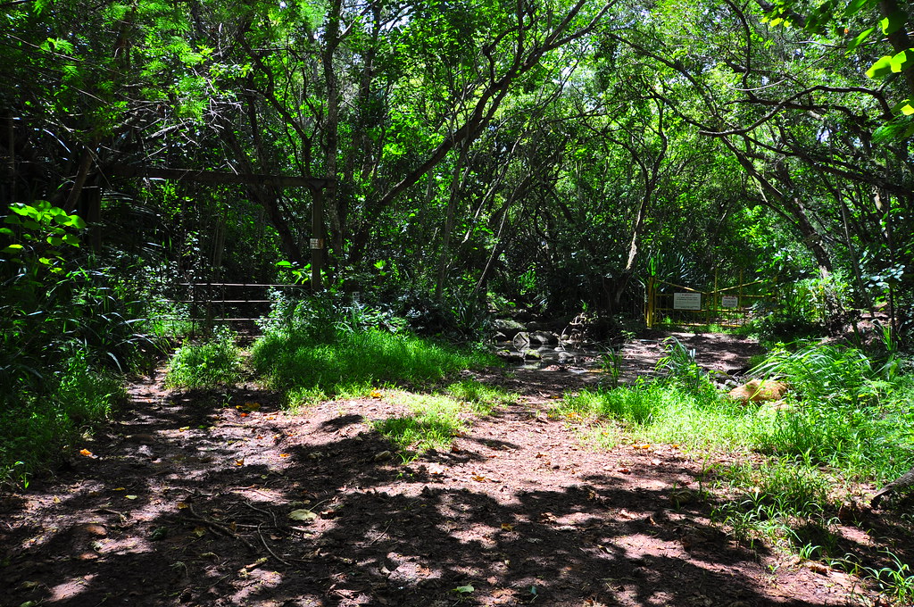
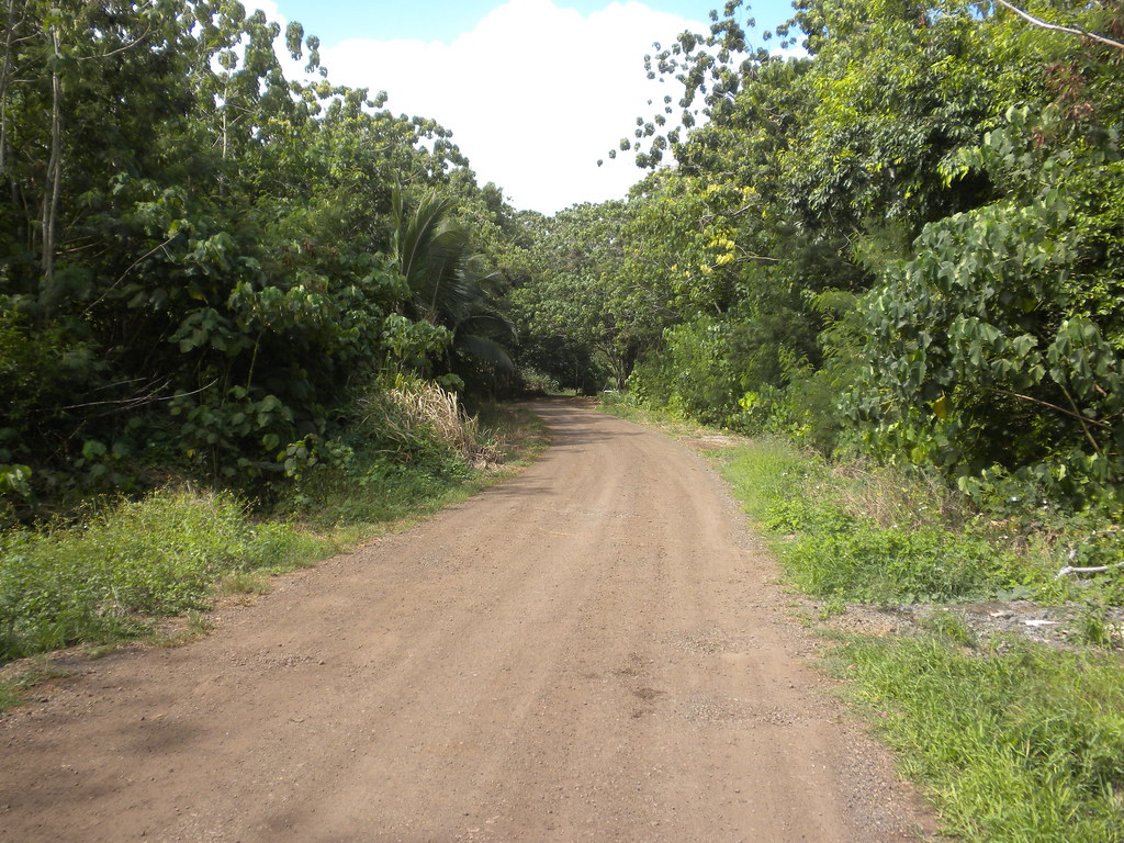
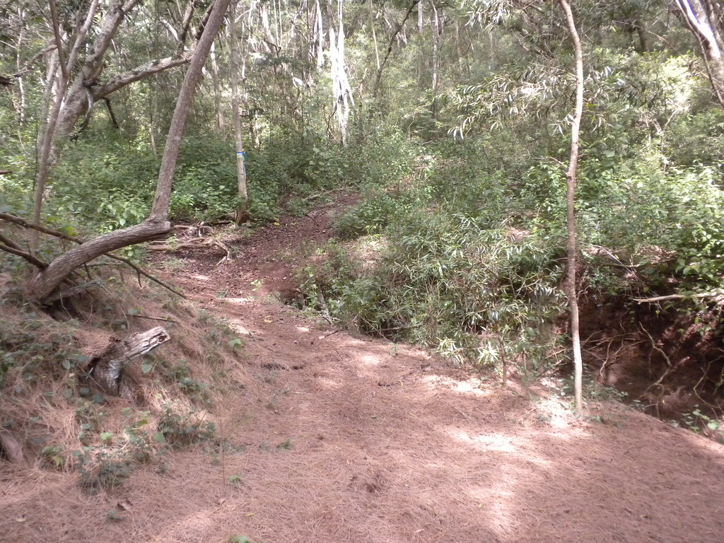
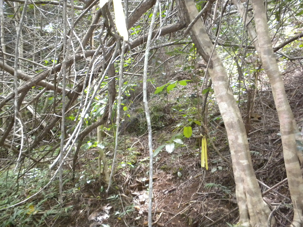
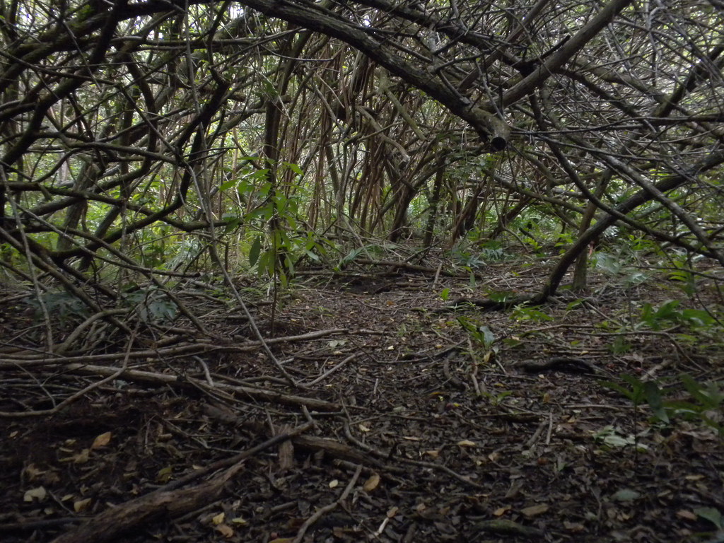
The army gate was easily bypassed by a huge gaping hole in the vegetation on the right side so I simply walked around it and up the road. Here I paused to check Back Country Navigator to see when I'd reach the historic Kahuku Trail. It looked like it should be off the left side of the road so I continued up. After a while I realized that I had passed the trail junction so I reversed course. I spotted a pink ribbon tied to a branch and crossed the dry stream bed to investigate. I spotted an old yellow ribbon and after crashing around in the brush I found what appeared to be the remains of an old dirt road. With no other leads, I decided to follow it. Although partly overgrown in varying degrees, the road was easy to follow.
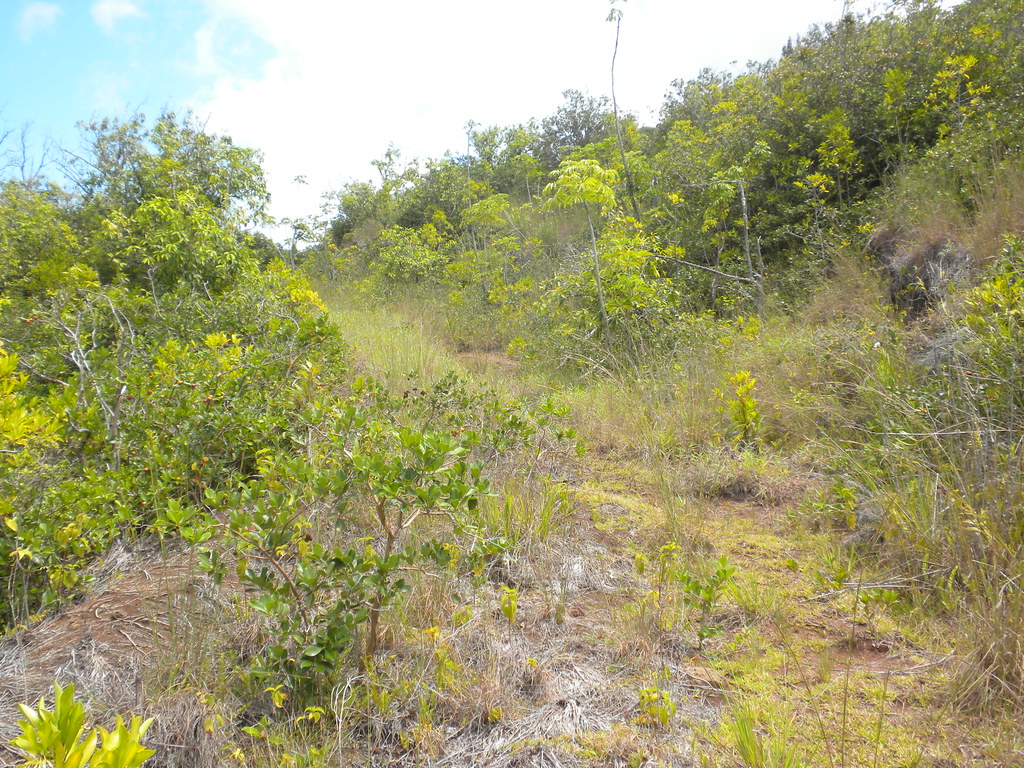
It steadily gained elevation and climbed along side the ridge towards the mountains. It made a few twists and turns then eventually peaked along the ridge. There it melted into a dried out landscape of rocks and red dirt which was eventually swallowed up by vegetation.
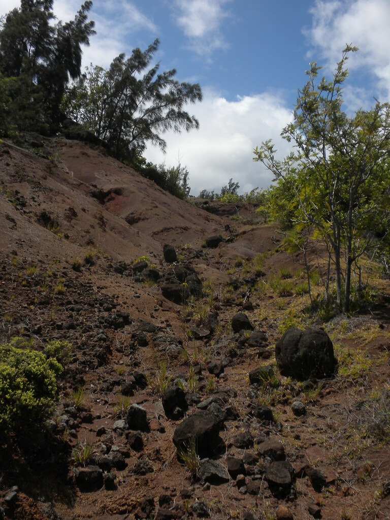
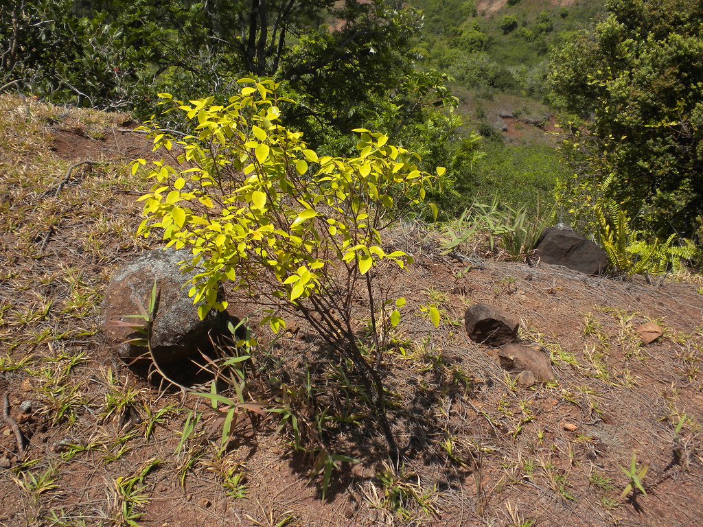
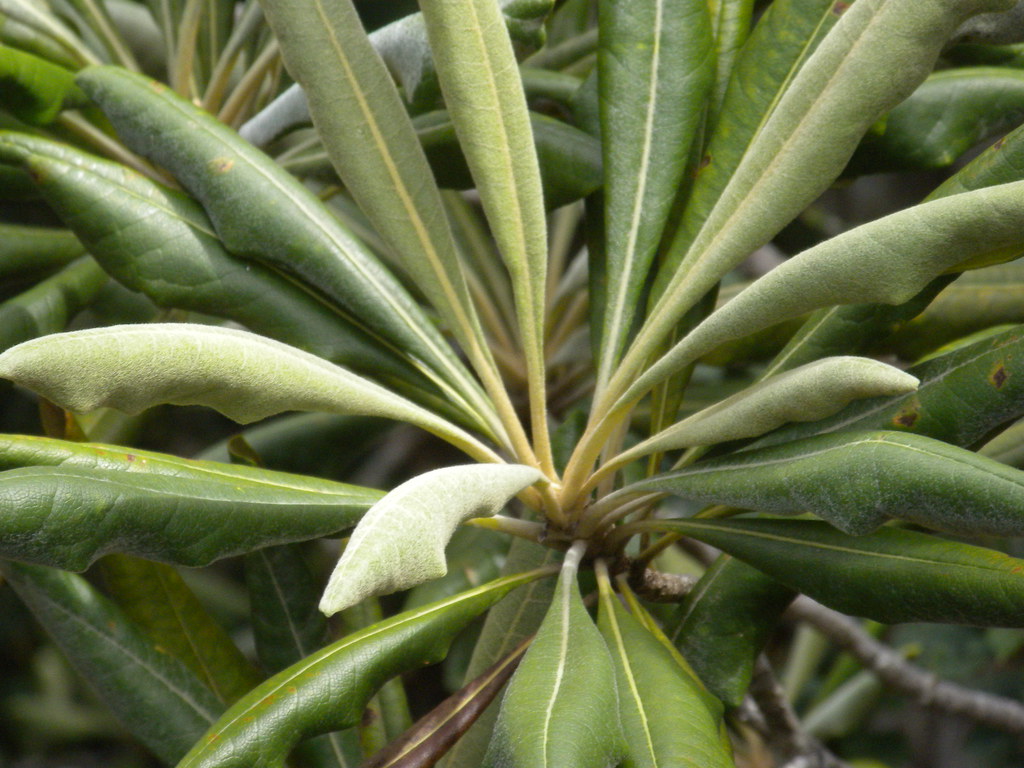
I suspect in the past this road continued up the ridge to some Cook Pines which are about an equal way up the La'ie Ridge. Today however, the trail became obscured in strawberry guava, ironwood, and other introduced vegetation. Early on I spotted to nice endemic plants, akia and pukiawe right in the middle of the dried out old road.
 |
| The Old Road |
 |
| Wikstroemia sp. |
 |
| Pukiawi |

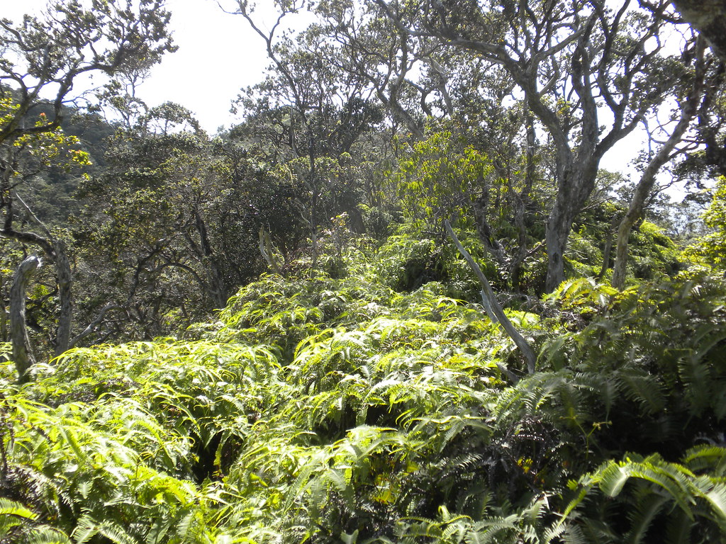
With no sign of the pigs I continued uphill. The trail meandered a little and I was surprised to see some really low christmasberry trees hanging over the trail blocking it. I wondered if I should turn around but I noticed that many of the limbs had been sawed off allowing enough room to crawl forward on my hands and knees. It was only a couple feet of crawling but somehow I manged to bang my knee on a nice sharp rock which left a nasty painful bruise to enjoy for the next couple days. Finally I reached the small grove of Cook Pines I mentioned earlier. I passed more guava, another ironwood grove which was home to a fantastic lichen on a large rock, more strawberry guava, and then the uluhe showed up. By now I was getting pretty run down. I'd been fighting off a cold for a few days and the heat of the midday sun added to my misery. I stopped to change the battery in my phone and took a long break. Checking my progress I knew I should have been less than a mile and a half from the summit. Onward I pressed encouraged by the more native forest I was entering.
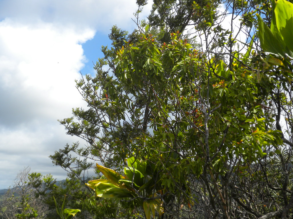
I was not disappointed when I reached the Halapepe tree I'd read about researching the trail. Also in the vicinity were a few Ho'awa trees, some nice larger sized ohia, maile, 'iliahi, and more mountain naukapa.
 |
| Halapepe |
 |
| 'Iliahi |
 |
| Ho'awa |
 |
| Ho'awa Fruit |
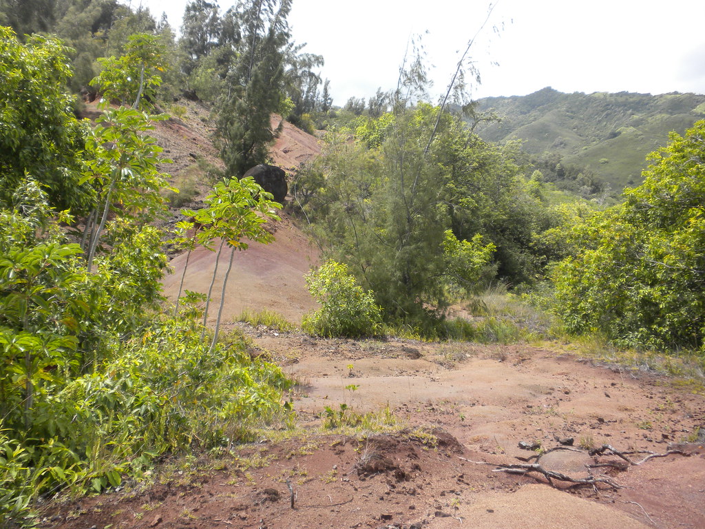
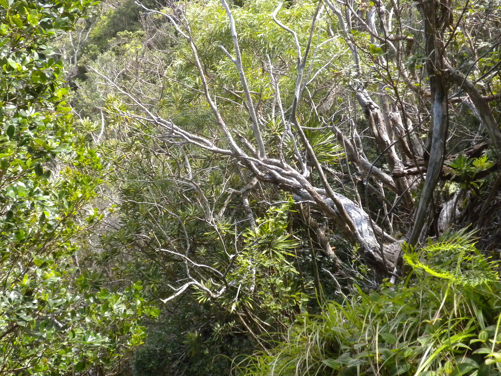
The ridge continued to climb steeply through more uluhe but apparently the trail still gets enough use that there is a swath to follow and despite ranging from waist to shoulder in height it's still passable here. Unfortunately I was falling apart with less than a half mile to go to the summit. I gave up more than once but, as I usually do, I regrouped and continued. After a few of those starts and stops I finally through in the towel for real. The stuffy ears, my throat felt a little closed off, and I was just worn out. I absolutely hate to turn around! After reversing course, I kicked myself all the way back down the ridge.
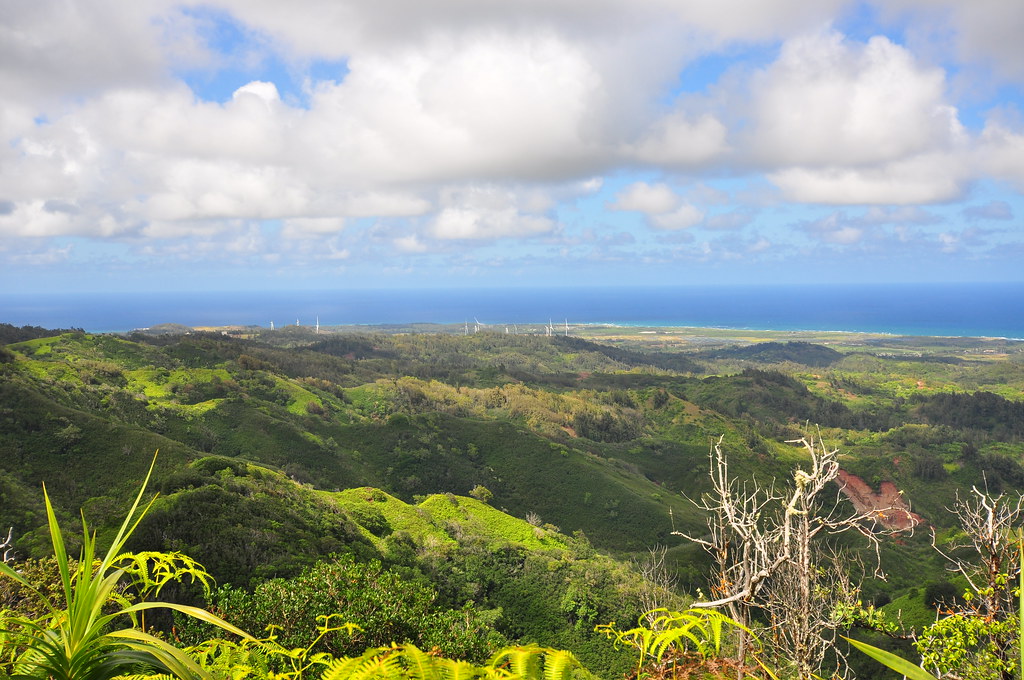 |
| A view of Kahuku |
 |
| Waypoints and Track |
 |
| Steep descent into Malaekanana Valley |
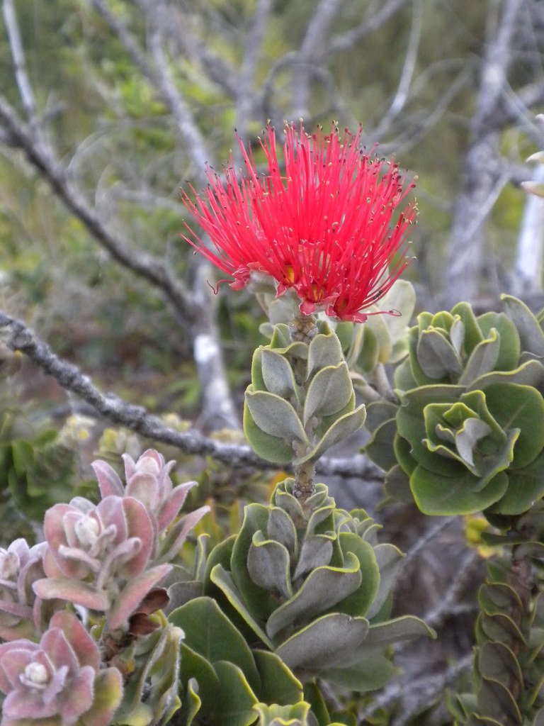 |
| Lehua Flower |
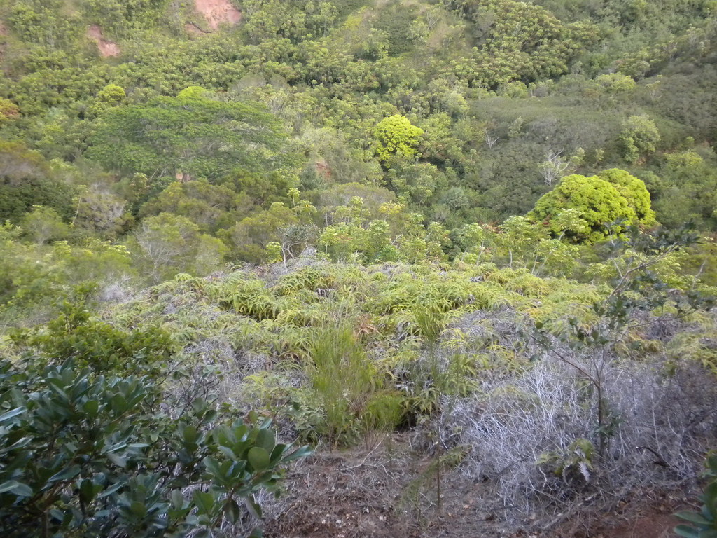
 |
| Ohia in Ironwoods |
More pictures from this trail and others I've done can be viewed on Flickr. Aloha and mahalo for reading!
No comments:
Post a Comment