February 1, 2011
Lanihuli via the Kapalama Loop and Na Pueo Bypass
 |
| Lanihuli from Pauoa Flats |
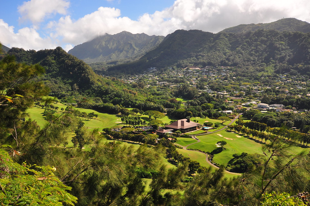
Ever had an itch you needed to scratch? Well I'd been itching to get to the top of Lanihuli for months. My ill fated trip up Kamanaiki Ridge back in November was when the itch started and today I scratched it. If you read last week's blog entry about Honolulu Mauka you know that my regular hiking partner's knee has been acting up. His doctor advised he take it easy for two weeks so I pretended that my intentions today were to go scout the Lanihuli Trail so we could do it when he's back in action. Deep down I knew there was no way that was going to happen and that there was a 99.9% chance I'd be going all the way to the top. Lanihuli from the Kapalama Loop trail requires that you either jump a fence at the end of Alewa Heights Rd, get access from Kamehameha School, or take the Na Pueo Park Bypass trail. Kamehameha doesn't grant access and I hate bothering neighborhood homeowners so I opted for the bypass.
 |
| Honolulu Waking Up |
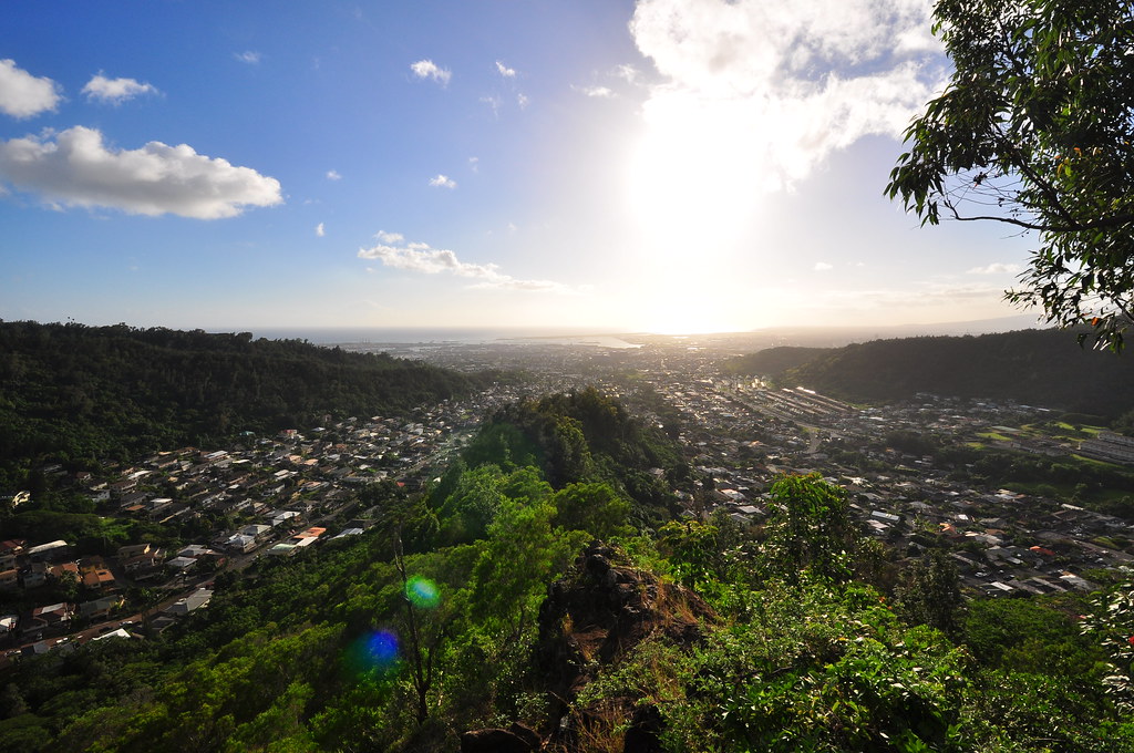
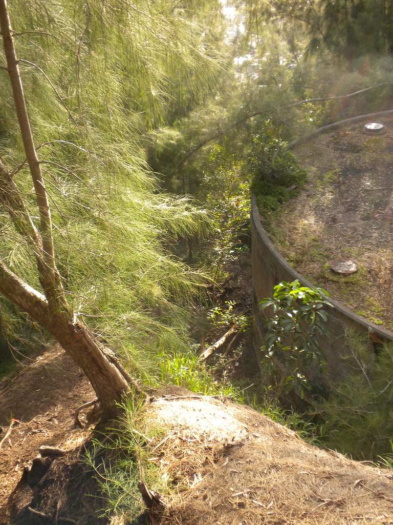
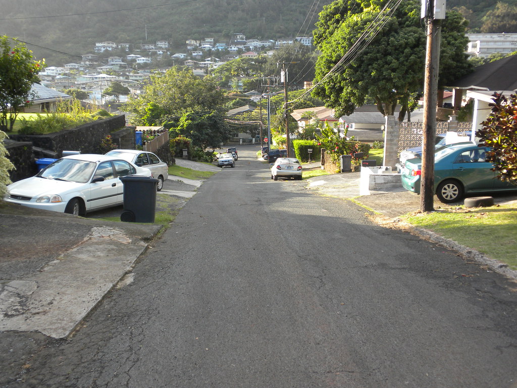
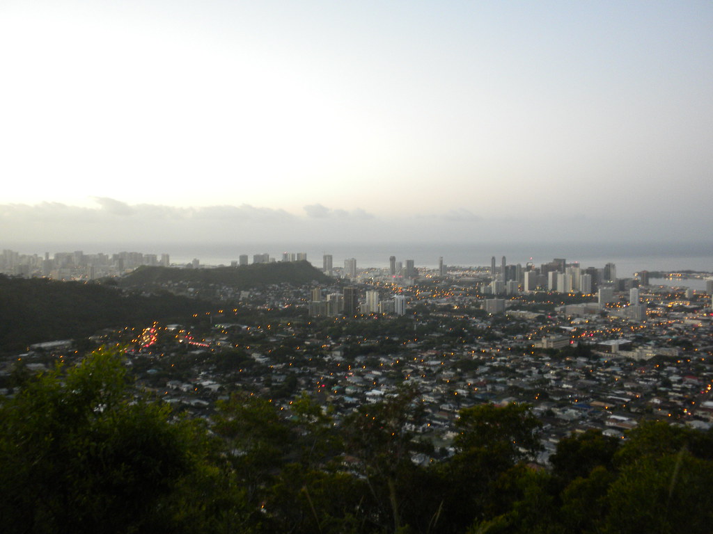
The morning started with a drive to Na Pueo Park at Alewa Heights. I parked up the street a way and tried to quietly get my gear together under the watchful eye of a lady walking here dog. I walked down to the park and sat down to finish my 7/11 coffee and banana. I soaked in the view of downtown Honolulu and noted the vog in the air. Hopefully it wouldn't ruin all my pictures for the day when the sun came up. It was a little breezy and cool as I dumped my empty cup and banana peel in the garbage can and set off to find the bypass trail which was behind a water tank according to the article I'd read online.
 |
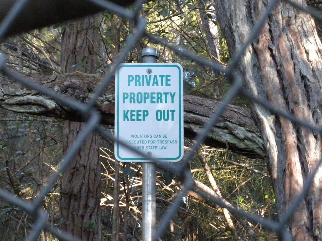
| Bishop Estate Land |
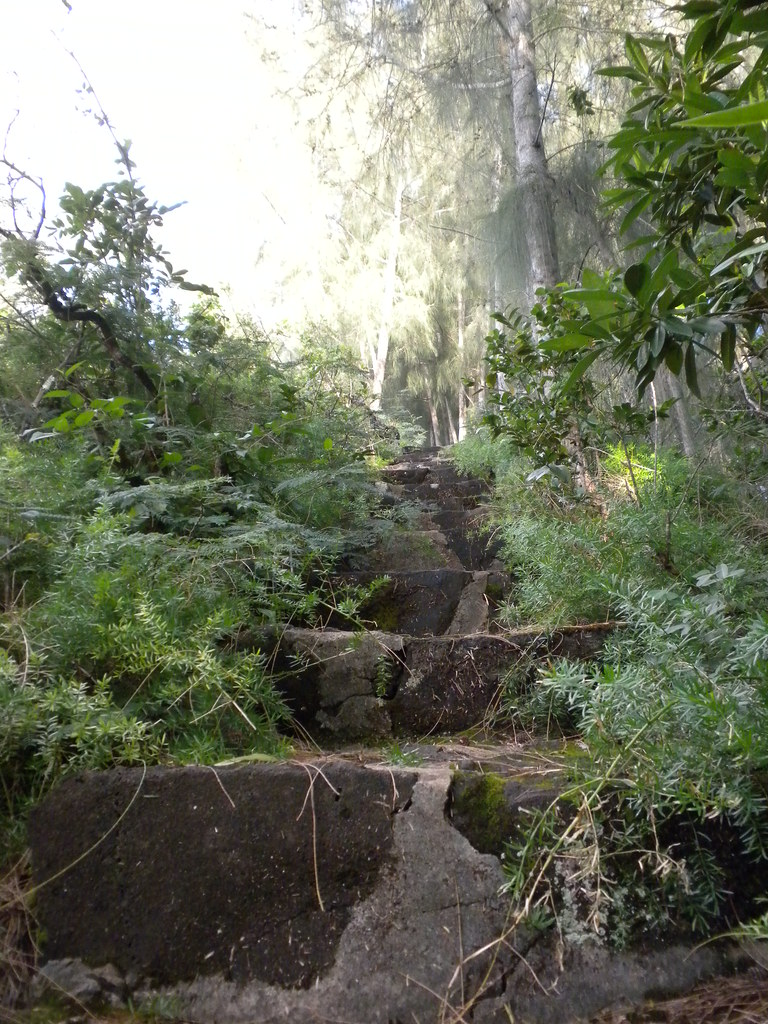
I followed what looked like a trail at the mauka end of the chain link fence behind the water tank into some bamboo. A short time later the "trail" began to close in and I began searching for a trail to follow. I contoured the hillside below the houses left and right up and down for a while and soon found another trail. Too bad it went to someones house and that someone had a dog with exceptionally good hearing! Feeling bad about setting off the barking, I tried to quietly sneak back down the hill and after thrashing about for a while I finally found the bypass trail. Once I found it it was pretty much unmistakable. A series of pink ribbons guided me along until a large grove of ironwood trees. The trail became obscured so I back tracked and saw a pink ribbon uphill. I wrapped some ribbon with an arrow pointing towards the trail to try and save someone else some time and effort.
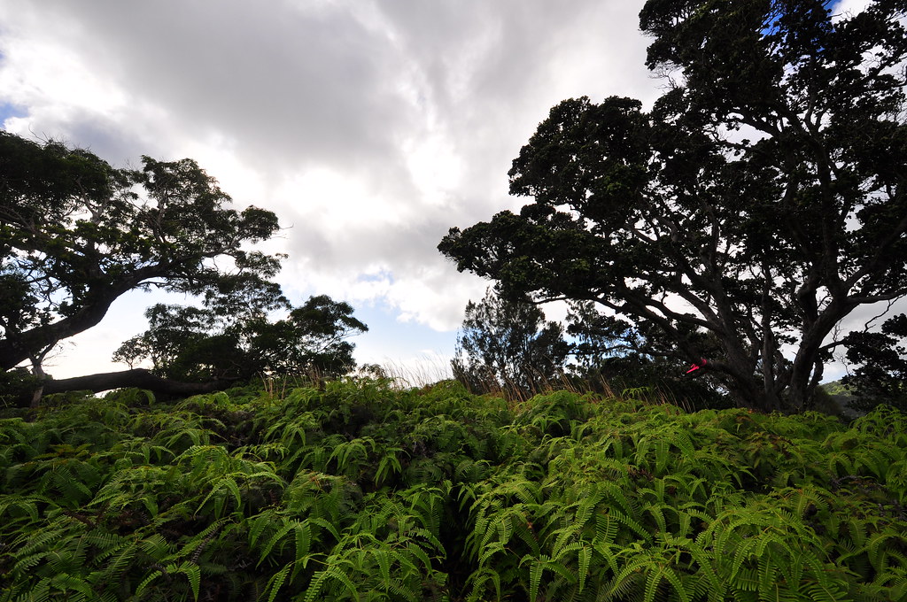
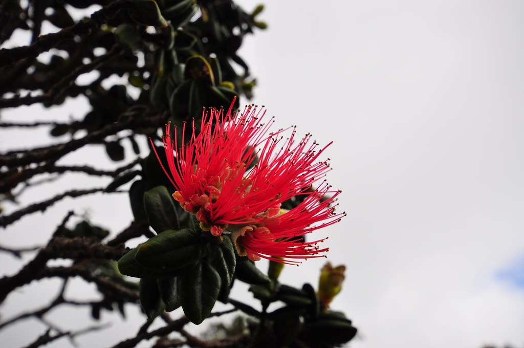
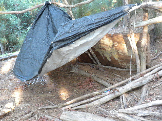
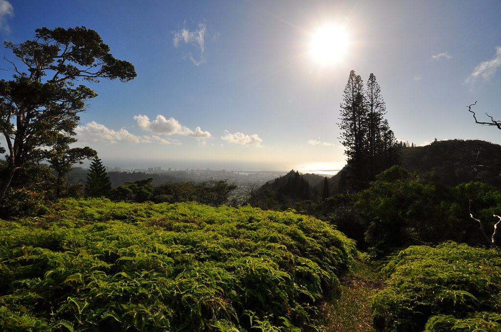
 Once established on the bypass trail I picked up speed and soon arrived at the intersection with the Kapalama Loop Trail at a chain link fence. I followed the fence up the ridge until hitting the camp site I'd read about. Continuing past the campsite the trail took several gentle rolling climbs and descents through Norfolk pines, Ironwood trees, and Christmas Berry trees. I spotted a red ohia flower and checked it out to see if it was a rarer style of Ohia, Metrosideros Macropus, that normally flowers in yellow but in this area was known to be red. I'd read about this on Nathan Yuen's Hawaiian Forest and it another reason I'd been wanting to do this trail. The leaves didn't seem right on this particular tree so I continued onwards. The trail opened up into a clearing of uluhe ferns and great views of Nu'uanu valley and down town.
 |
| Uluhe clearing (shot on the way down) |
 |
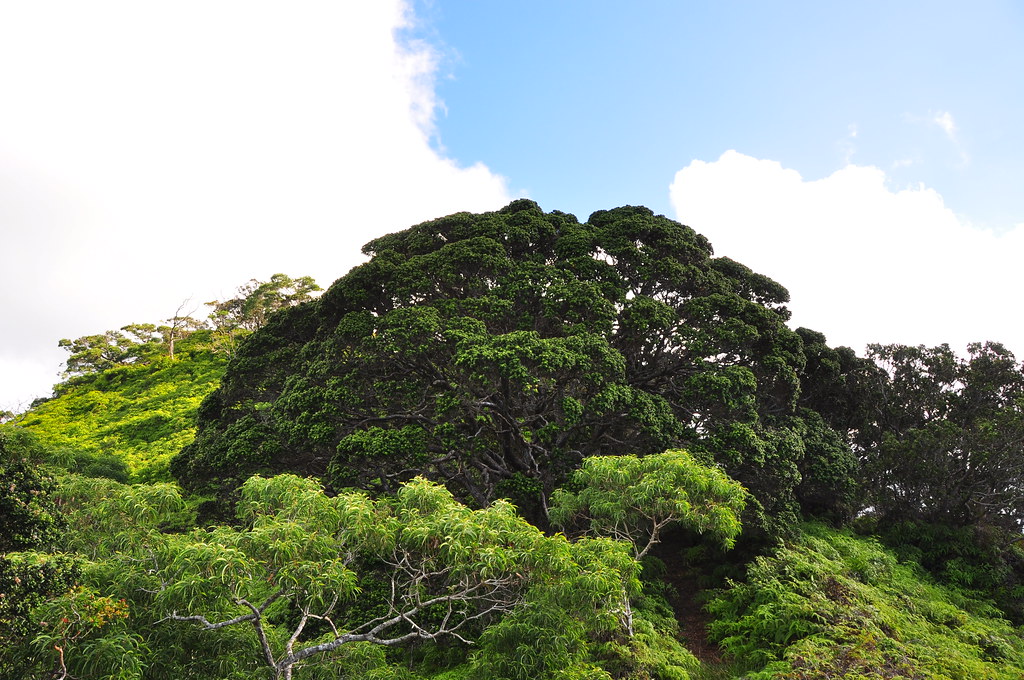
| Nice Big Ohia Tree |
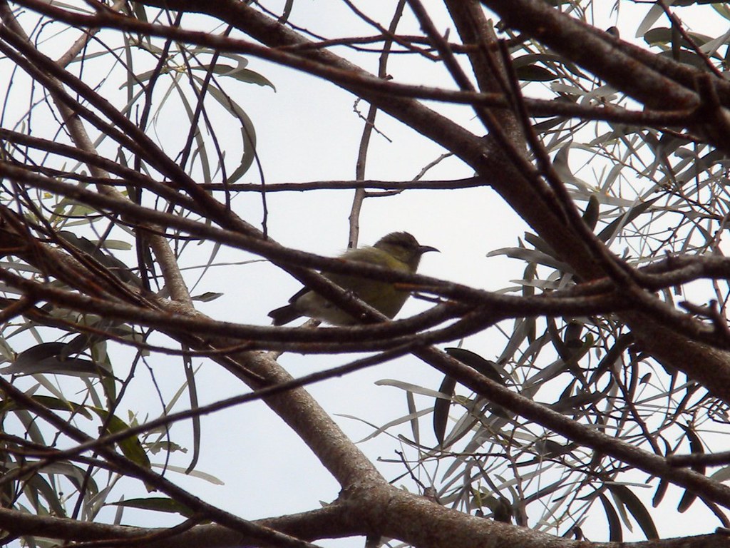
I watched the clouds boiling above me and enjoyed something that you don't get much of on O'ahu- silence. As I climbed the view just kept getting better and I entered a stand of larger Ohia where two apapanes flew by me and landed in the Ohia trees. They bounced back and forth between limbs before disappearing from sight. I didn't even bother trying to get a picture. As I continued, the ridge off to my right kept getting closer. I had to be getting close to the end of the loop trail. Working my way up the ridge I spotted an alternate trail coming up another ridge from Nu'uanu. It was marked with an old glove and some ribbons. Probably this trail? Next was another down hill section and another red Ohia. Still inconclusive. Then I spotted it- a fairly large Ohia with many red blooms on it.
 |
| Yellow M. macropus |
 |
| Red M. Macropus |
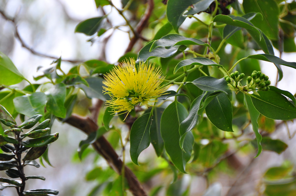
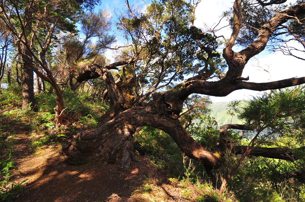
Checking the leaves the petioles, the stalk of a leaf, attaching the blade to the stem, were far too long to be any other kind and the overall weepy appearance of the tree were all fitting with the description of m. macropus. The tree branched from it's blooms after they died- another indication I was looking at a red macropus tree. So conveniently located across the trail was a yellow macropus. How handy is that for comparison? A short time later I rounded a corner and at the base of a gnarled Koa tree the trail forked. To the left was the loop and the right Lanihuli. I sat down on the Koa for a break.
 |
| Kapalama Loop Junction with Lanihuli Trail |
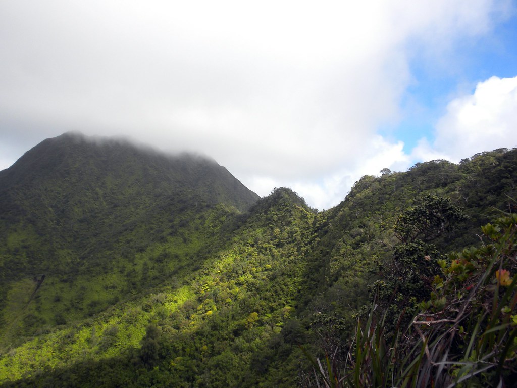
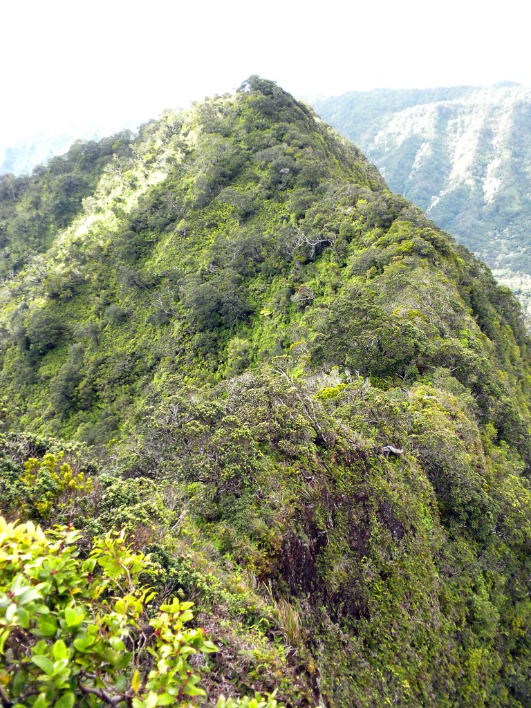
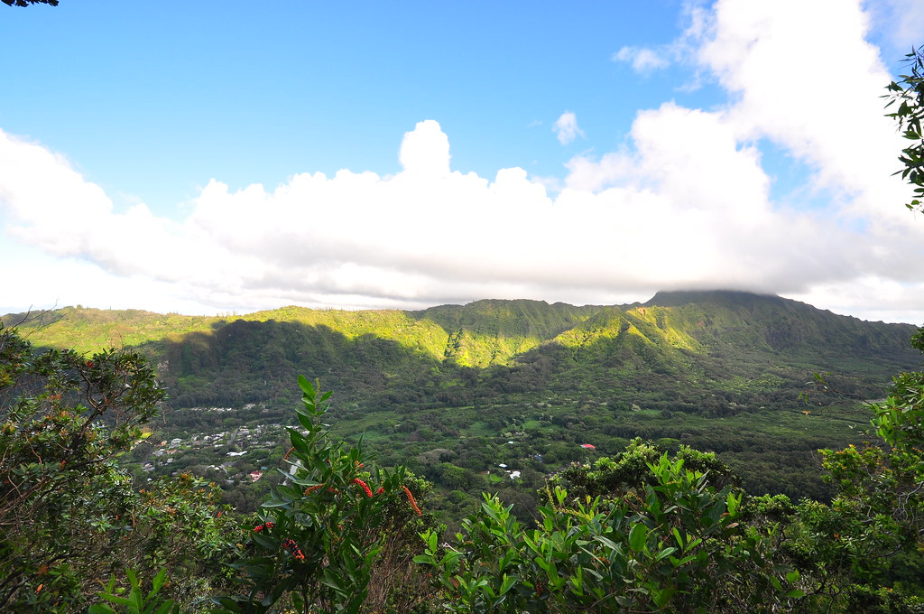
After the short rest I headed up the Lanihuli Trail. I noted some pig tracks, more red M. Macropus and mostly native vegetation. I came to the first rope section of the day which was a fairly easy climb anyway. The trail flattened out after that and it was like walking through a Ohia exposition. All the species were here, polymopha (ohia lehua) , rugosa (lehua papa) , tremuloides (ahihi), and macropus (unknown Hawaiian name). The view back towards town now included all of Nu'uanu Valley to the east and Kalihi Valley to the west. I was also given my first full view of Lanihuli and it was a bit intimidating.
 |
| An imposing look at Lanihulii. |
 |
| First Rope Section |
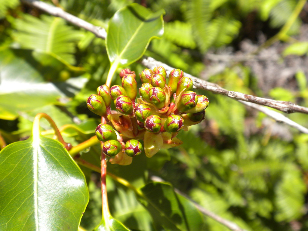
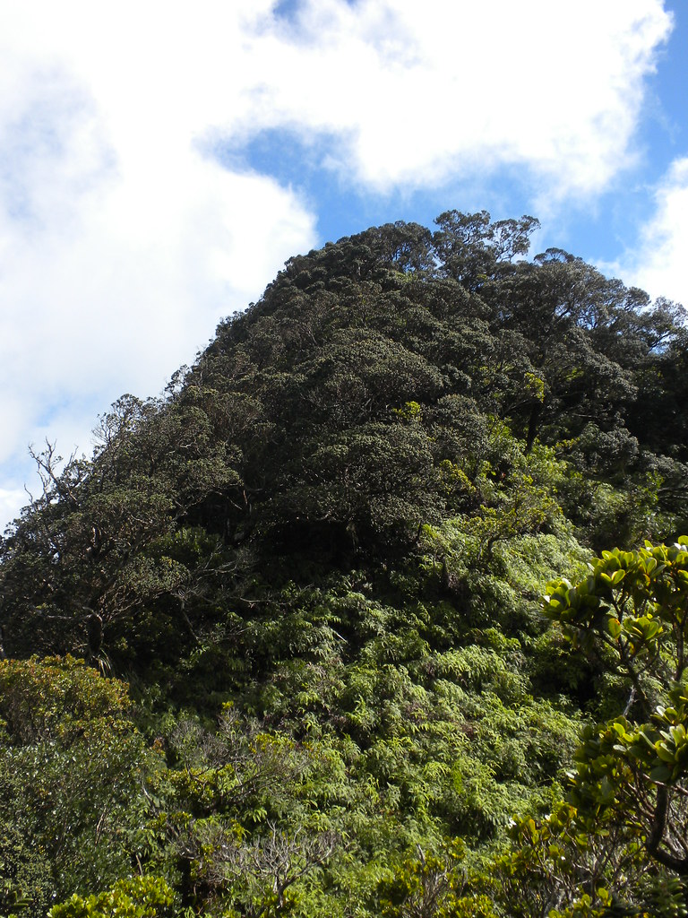
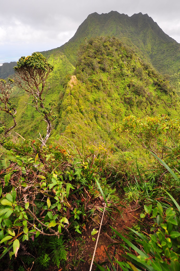
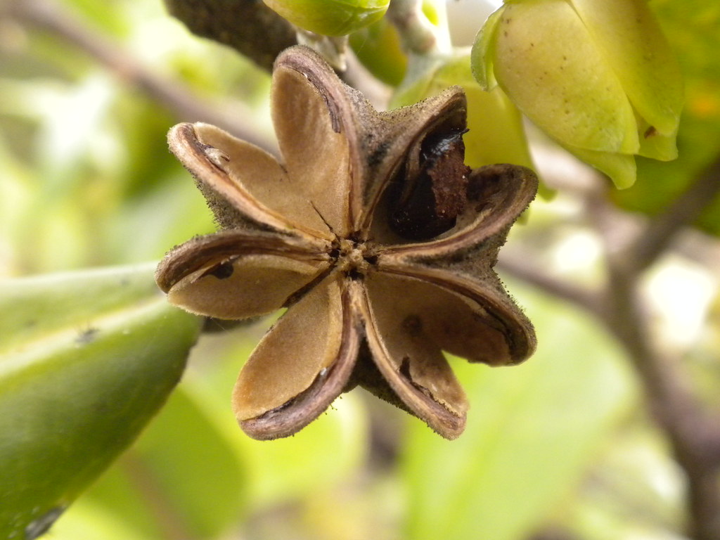
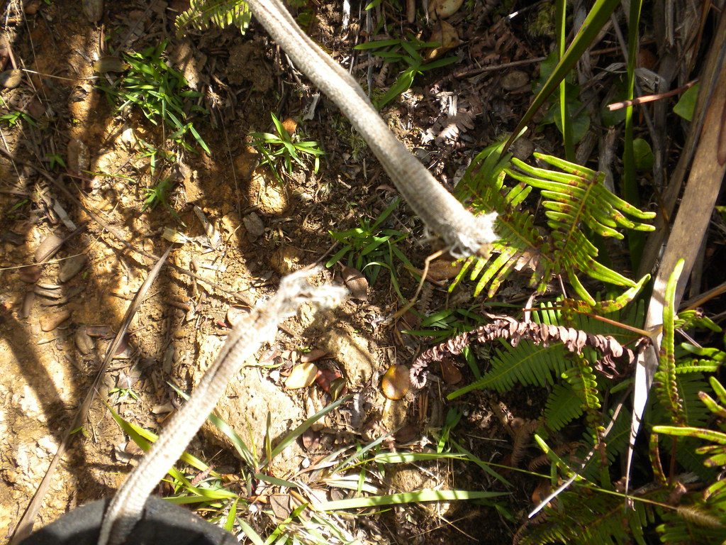
Next was a large descent aided with a rope and what looked like a very long printer cable. That lead down to a narrow ridge with another rope to help with balance. Then a hump in the trail with a broken rope section (picture later in the story) that masked another hump before the final assault on Lanihuli. I spotted what I think is an Alani tree and took a picture of a seed that I've never seen on one before. I stood at the base of Lanihuli looking at was appeared to be a serious uphill battle. I figured I might as well get on with it so I started upwards. It's steep and I found myself crawling in some spots because the ground was sometimes slippery and crumbled under my weight. No wind, getting hot, take a break! Then, a final push and I was there. It ended a whole lot sooner than I though it would and I appreciated that!
 |
| Alani Seeds |
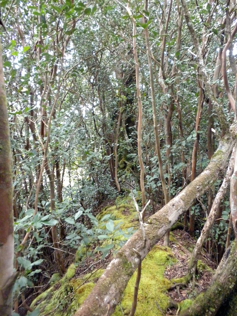
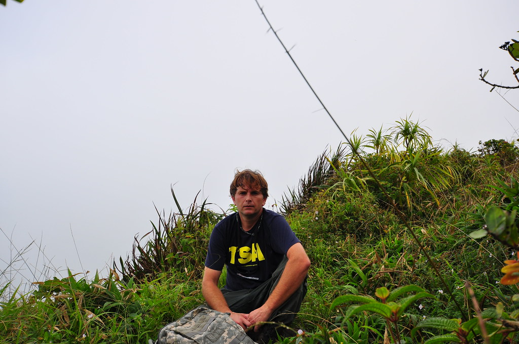
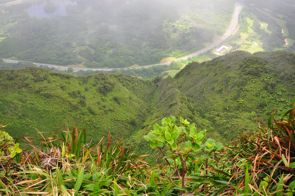
The final climb topped out into a typical Ko'olau summit cloud forest of moss coated trees and mud. Initially there was no view at all which is always a bit disappointing after you've worked so hard but I didn't mind. I sat down dangling my feet over the edge of the steep cliffs and enjoyed my lunch. Eventually breaks in the clouds gave me some decent views of windward O'ahu. I explored the summit a little but didn't go far. I snapped a couple of pics and even did a rare self portrait.
 |
| Lanihuli Summit- H-3 and Kaneohe |
 |
| I look unhappy... I'm not. |
 |
| Lanihuli Summit- Looking down |
 |
| Lanihuli Summit- View towards town |
 |
| Somebody got a surprise |
Going down I made pretty good progress. This time I paused to take a picture of the rope section that had broken under someone's weight. What a great example of why you shouldn't ever put all your weight on a rope or cable even if you've tested it. Some of these are very old or have been tied to trees or roots that have since been weakened.
At this point I realized I was getting sick. My nose was running and my ears stuffy. Great, just what I needed!
 |
| Nu'uanu Valley and Honolulu in the afternoon sun. |
 |
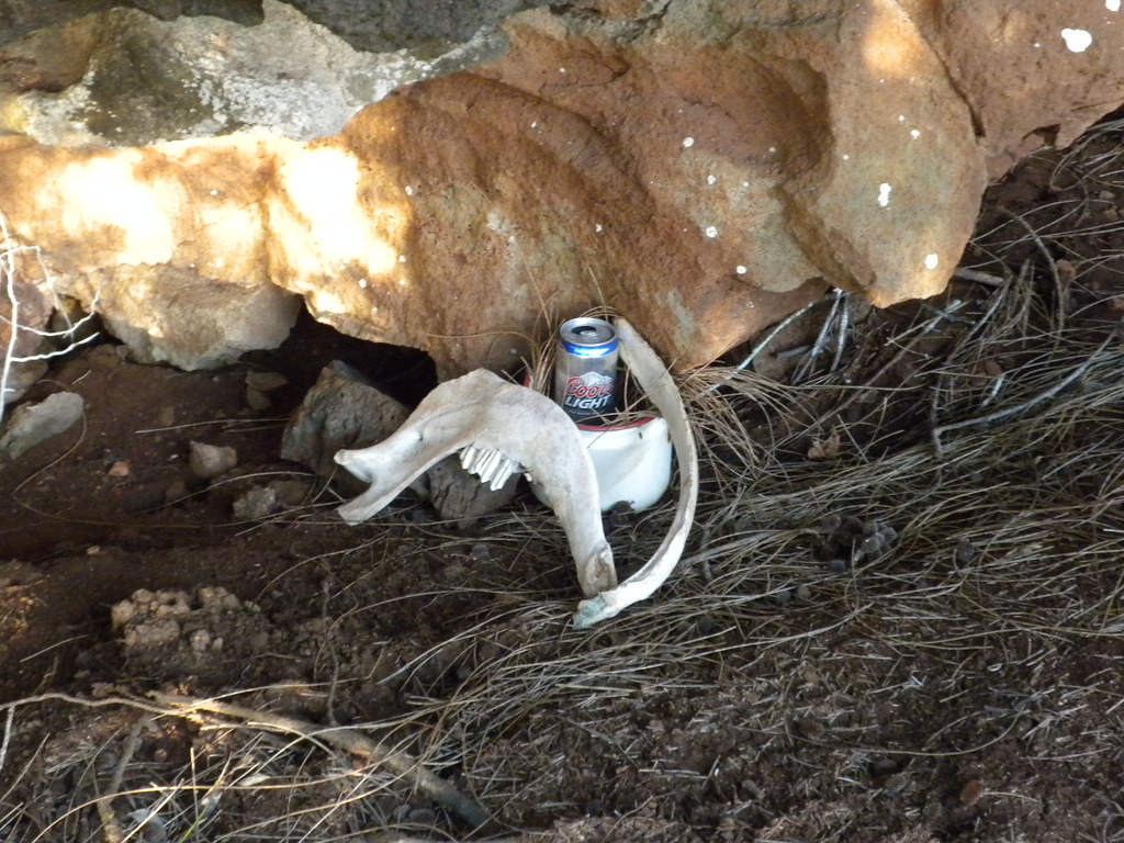
| Bizarre Coors Light Shrine |
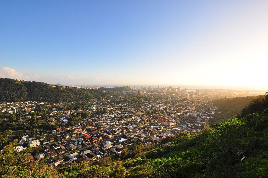
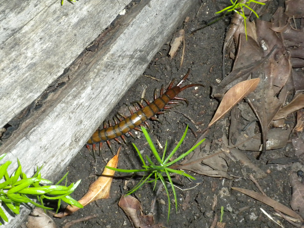
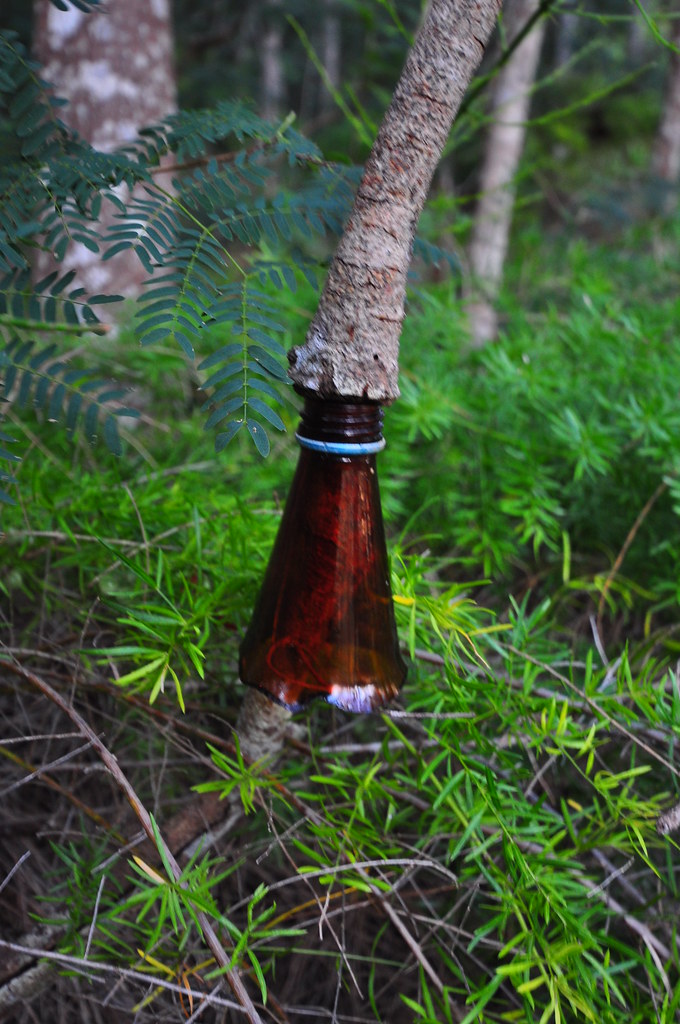
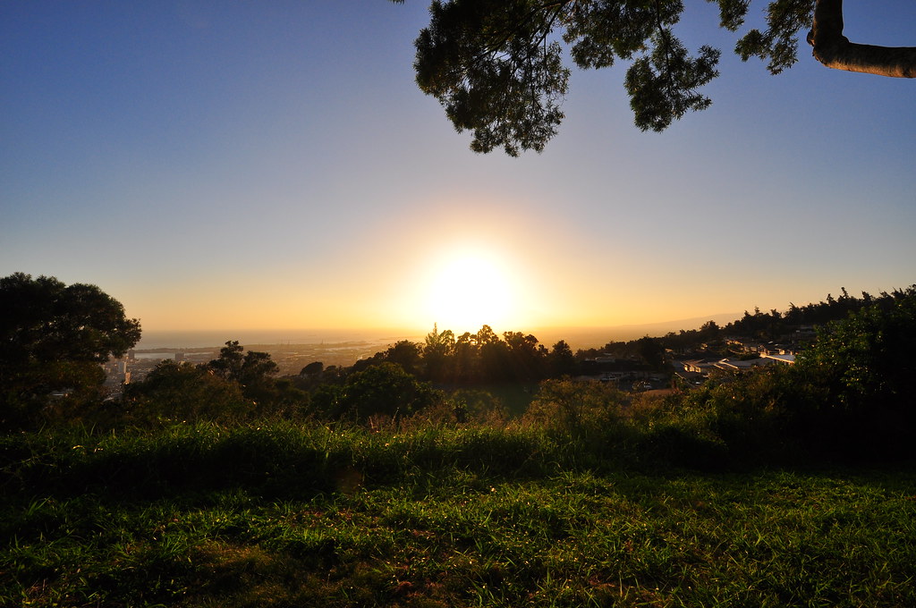
It took an hour and forty minutes to return to the Kapalama Loop Trail fork. I felt like I had a fever now... fantastic! I took a quick break and checked my water- one liter left. The trail began to seem endless at this point. Back in the introduced forest of Ironwood, Norfolk, and Christmas Berry. I missed the trail near the end and ended up on the wrong side of the water tank at the top of Alewa Heights. Had to back track and jump a fence to get back to the Na Pueo Bypass. Began tying ribbons to the trees to mark the bypass trail for the next time I come. Passed some views of O'ahu Country Club, a weird shine to Coors Light, the chain retaining wall, a centipede hiding under a branch with most of his body hanging out, a tree that had some how grown out of a bottle, took a shot of down town, and sighted the water tank. Climbed up to the tank and took my last shot of the day. Walked back up to the car and after stowing my gear enjoyed some air conditioning before heading back home.
 |
| You can't see me! |
This trail was fairly long. I'm not sure if it was because I was under the weather or what but the initial sections of the Kapalama Loop Trail felt like they lasted forever both going up and down. The Lanihuli Trail itself is great so maybe next time I need to use another route. I may see about that HMTC route up from Nu'uanu Valley or maybe I'll get crazy and do Kamanaiki Ridge!
 |
| Must have grown up through a broken bottle? |
 |
| Last shot of the day- Na Pueo Park |
I'd like to add that hiking alone is never a good practice. Please don't follow my bad example and always have a partner, leave a schedule of where you're going and when you'll be back, always have more water than you think you'll need and a flash light. Please see my Really Great Hiking Tips Section on my Not So Great Hiking Blog for other akamai hiking tips.
 |
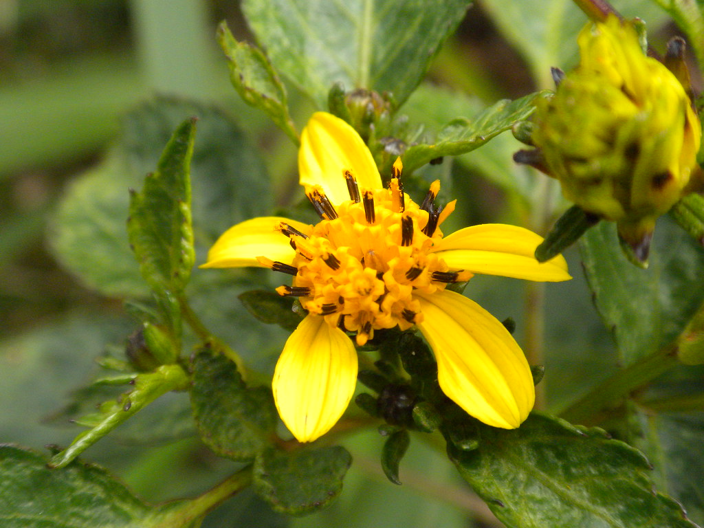
| Ko'oko'olau |
 |
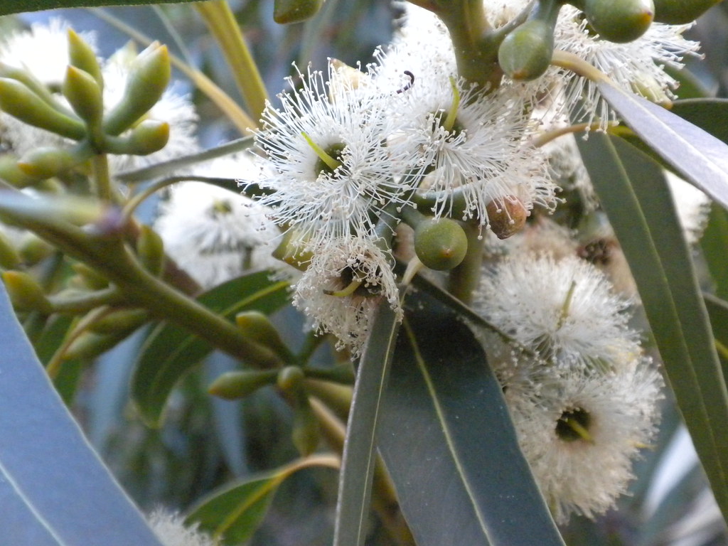
| Eucalyptus |
More pictures of this trail and others I've done are can be viewed Flickr. Aloha and mahalo for reading!
 |
| Ahihi |