Showing posts with label Ko'olau Summit. Show all posts

Tuesday, January 3, 2012

Waiahole Uka - Failure

January 3, 2012

I'd read all I could about this trail over the last year and it's been a priority.  Finally, on January 3rd I had a willing and able, make that more able, partner and some directions to this trail.  We set off on the trail sometime after 6am and made our way along a winding path under the foot of the Ko'olaus towards the ridge that we'd be climbing to the summit.

I could go on about excuses how I was up late the night before, that I'd drank too little or too much, the gravitational pull of the moon, and others but bottom line is I was outclassed with my partner Chris who bounded up the trail like it was a sidewalk.  It was a blessing and a curse that we had clear skies.  The wind was almost completely still and voggy conditions meant no breeze to cool us off.


By the time we reached the start of the ridge I was already soaked in sweat, huffing and puffing, and just plain worn out.  Climbing up through some steep Uluhe we made our way up what is roughly a 2000' climb to the summit of the Ko'olaus.

Clawing my way up the trail, I was taking breaks way too often and was slowing my faster partner.  Eventually I threw in the towel and freed him of my painstakingly slow pace.  Exhausted, I took at nap and a few pictures as he continued on up the trail.  It is here I suspect that I picked up a tick or maybe a couple of ticks that would later infest our home!


I may have failed out of the trail but as I'd later learn, I was pretty much at the end of the steepest climb.  I should have just let Chris go on ahead of me and tried to regroup.  The visibility continued to worsen as the day progress and and the clouds began to form at the top of the Ko'olaus as a slight breeze kicked in.

About as far as I made it.
Eventually Chris returned and we made our way out the way we came.  Oh well, you can't win them all!


More pictures from this trail and others I've done can be viewed on Flickr.  Aloha and mahalo for reading!


Wednesday, February 9, 2011

Kamanaiki Ridge Via Lanihuli

February 8, 2011 Kamanaiki Ridge Trail Revisited via Na Pu'eo Bypass, Kapalama Loop, and Lanihuli Trail. 

Back in November of last year I made a mistake.  Early one Sunday morning the weather looked great and I had an entire day to go and do whatever I wanted.  I headed out the door with Stuart Ball's Hiking O'ahu book and as I filled up my car at the Shell station in Kailua I flipped through the pages trying to find a hike to do.  I ended up on Kamanaiki Trail.  I didn't read the entire description and what followed was a frustrating, hot, and miserable afternoon wading through uluhe ferns and encased in seemingly endless strawberry guava.  As I made my way up the ridge that day I figured I would hit the ridge running up to Lanihuli from Alewa Heights.  Visions of me on top of Lanihuli pushed me deeper and deeper into what was obviously a neglected trail.  Finally, tired and miserable I did a Google search for Kamanaiki Trail and came up with Dayle Turner's description.  Realizing that the normal trail had ended a while back I threw in the towel and reversed course.   I learned a pretty valuable lesson from that hike- know what you're getting into.  Now I try and read at least a couple write-ups on trails before I do them so I don't repeat that experience.  I didn't have much nice to say about this trail when it was all over when I last reviewed it.

Na Pu'eo Bypass Trail
Happy ribbon
Last week I did Lanihuli and saw how close I had actually been to finishing Kamanaiki Ridge that hot November day.  Today's original hiking plans had been canceled due to the bad weather but the rain had stopped and the sun was shining.   By 9:30 I was already bored and knew I couldn't stay home now that the clouds had cleared.  With my recently gained experience with the Na Pu'eo Trail, Kapalama Trail and the Lanihuli Trail it was time to pay Kamanaiki Ridge another visit.
The trail began at Na Pu'eo Park in Alewa Heights at 10:50am.  I headed straight for the trail I had spent an hour looking for last week and followed my new ribbons up to the Kapalama Loop Trail.  The only change from last week was that the ground was gooey from the recent rain.  

Nu'uanu Valley and O'ahu Country Club
Ohia budding (M. Macropus)
Even my panama sole jungle boots were choking on this stuff!  About 20 minutes later I arrived at the Kapalama Loop Trail junction.  I dropped my gear and ran down the loop trail to retrieve the ribbons I had placed last week when I missed the Na Pu'eo Trail junction and ran back to my pack.  Since I'd been on this trail so recently I didn't spend much time taking pictures or looking at things.  I did note the damp smell of eucalyptus hanging in the air though.  The later start also had me moving a little quicker because I didn't know how much time I'd need to come down Kamanaiki Ridge and I really wanted another shot at the summit of Lanihuli.  Two hours after I started I was at the big gnarled koa tree where the Lanihuli Trail started.  It was now 12:47pm.  I sat down on the ancient tree and thought about my options.  There was also that HMTC trail down to Nu'uanu valley I could do which would probably be shorter than the Kamanaiki trail and that might even allow for enough time to get to the summit.  Then again, a new trail at the end of the day with only the barest of descriptions didn't seem like a great idea either.  Sitting on the tree wasn't getting me closer to the top so I continued up the trail after catching my breath.

'Amahiki in koa tree
The initial sections of the Lanihuli Trail were just as fantastic as they were last week.  The number of large ohia trees and the endemic birds flitting from one branch to another are hard to ignore.  I managed to get a shot of what I believe is an Amakihi in a koa tree.  The butterflies were also out in full force and I spotted two of the humming bird butterflies.  Despite my rush I couldn't help but pause here and there to enjoy the beautiful scenery around me.

About an hour and a half later I arrived at the Kamanaiki Ridge junction.   I decided to scout ahead and take a look at the summit and determine if it was possible to do both the ridge and the summit.  When I arrived at the rope section with the long double rope/cable combo I paused to make a decision.   It had taken me an hour and forty minutes to get from the summit to the top of the Kapalama Loop Trail last week and it was almost the same time I'd left the summit now.  I figured that I could make the summit and get down before dark with time to spare if I returned the way I came but going down a new trail, especially one that wasn't in good condition meant I needed a buffer.  My grudge with Kamanaiki Ridge won and I turned back to the junction.  I attached a new ribbon at the junction and crashed through some strawberry guava and onto Kamanaiki Ridge.
Lanihuli viewed from Kamanaiki.  The first dip is the double rope/cable section and as far as I went today before turning back to Kamanaiki to settle the score.
Kamanaiki Ridge 2:00pm


Kamanaiki Trail-  Looks promising right?
Initial section of Kamanaiki
Looking back up the initial descent
No discernible trail on this segment
There was no discernible trail after about 4 feet of leaving the Lanihuli Trail.  Ridges are easy though, there's nowhere to go but on the ridge so I worked my way downwards.

There was enough vegetation that I was having a hard time telling which way the ridge line was going and only 30 yards in and I was having to back track to get a better view of the terrain.

With a fresh idea of the layout, I continued back down and ended up on a steep cliff edge.  There were enough trees that I was able to keep hold of something the entire time.  Slowly and painfully I fought my way through the uluhe ferns and tangles of ohia and koa trying to do as little damage to things as possible. At one point I became completely entangled in uluhe as I slipped down a steep section and struggled to free myself from it's grasp.

Uluhe fern everywhere!
 
Leggy Ohia tree

 There were some really fantastic ohias on this ridge.  One had some serious legs on it so I had to stop and take a picture.  I kept my Nikon in my bag because I was still concerned about time and dragging that big guy out and putting it back takes too long.  I don't know how long it took me to get back to where I'd thrown in the towel in November but it felt like a long time.  Every once in a while I'd get a feeling that I was on an old trail but I can't be sure.  Later into the bushwhacking I definitely  saw signs of pig activity so the "trail' was I was seeing could have just been from the pua'a. 


Cable section where things improve a little
It wasn't until I reached the cable section that things began to improve.  At times I was up to my neck in uluhe ferns that kept untying my boots, scratching me, tripping me, and even opening up my pack.  Even after the rope section things only improved a little.  Here it looked like someone had tried to open the trail up so I picked up a little speed only to find myself immersed again.  The ridge's ups and downs continued as I fought on and entered large stands of strawberry guava.  It's pretty strange to be walking on a ridge as wide as your body
without any kind of worry because had I slipped there was so much strawberry guava I would have caught myself instantly.  
 
Strawberry Guava ridge with Koa tree.
Right in the middle of the ridge there's a huge koa tree with a truck as wide as the trail I had to go around.  Continuing onward still concerned about the time I had forgotten  about the beehive on this trail.  This time I was coming downhill and there was no warning other than the immediate flurry of activity as I passed about a foot from the entrance of their busy hive in a large tree in the middle of the trail.  I was buzzed by a couple of them but kept moving and they didn't attack. 
Face height bee hive
Eventually I reached what is the end of the normal trail, as advertised, at a large ohia and a fallen koa.  From here on out it was smooth sailing.  I could actually see the ground again!  I really started to pick up speed and barely stopped for anything.  I did pause once to check out some iliahi, sandalwood, trees but that was about it.  The sounds of Kalihi Valley intensified as I made my way back towards civilization.  Cars, chickens, dogs, and screeching tires all warned me that I was getting closer to the end.  A quick call was made to Mrs. XJ to let her know that I was almost done.  I figured I was about forty-five minutes from Manaiki St. and it would take her about that long to load up the kids and get there. 
Approaching the turn around point of the normal Kamanaiki Trail from up the ridge.
I passed the small segment of this trail that I like and tried to enjoy it a little.  Most of the end of the trail is introduced invasive stuff like christmas-berry, iron wood, eucalyptus, ect but this little section is filled with ohia although not as old and impressive as the stuff further up the ridge.  Continuing on I began to question my timing and the last thing I wanted was an angry wife waiting with to small kids so I really picked up the pace and almost ran down the rest of the tail.  Once I saw the short steep section I knew the water tank near the beginning of the trail was close.  
Top of the small climb segement looking down the remaining ridge.
The watertank
Lava rock steps
I climbed down the rocks and a short while later spotted the watertank and the hundreds of spray paint cans people use to decorate it.  The lava rock strairs started, then stopped.  I figured I should try to count them.  There are 152 continuous steps, by my count which may be a little off, with another 12 or so in another section further up, from Manaiki St to the water tank.  At about 5:30 I walked down Manaiki St and waited for my wife to pick me up and take me back Alewa Heights to retrieve the other car.


Manaiki St and the end of Kamanaiki Ridge Trail.
The most disappointing thing about the trail today was not topping Lanihuli.  It sucks to be that close to the Ko'olau Summit that I love and not get to spend some time there.  However, Kamanaiki Ridge and I have settled the score and that made it all worth it!  With a whole lot of clearing this ridge trail could be another way up Lanihuli and would take about the same amount of time as Kapalama Loop.  

Last shot of the day... back at Na Pu'eo Park


I have one more trail on this ridge to do and that's the HTMC trail up from Nu'uanu.  I'm sure I'll see the top of Lanihuli again soon.


More pictures of this trail and others I've done are can be viewed at Flickr.  Aloha and mahalo for reading.


Thursday, January 13, 2011

KSRT: Wiliwilinui Ridge to Kuliouou Ridge

January 11, 2011:  Ko'olau Summit Ridge Trail from Wiliwilinui Ridge to Kuliouou Ridge

Last week's climb of Konahuanui's twin summits left me itching for more summit trail so when I was planning our next hike I had the KSRT on my mind.  I figured we'd be able to most of our time edging along the spine of the Ko'olaus instead of climbing up a ridge to them. 

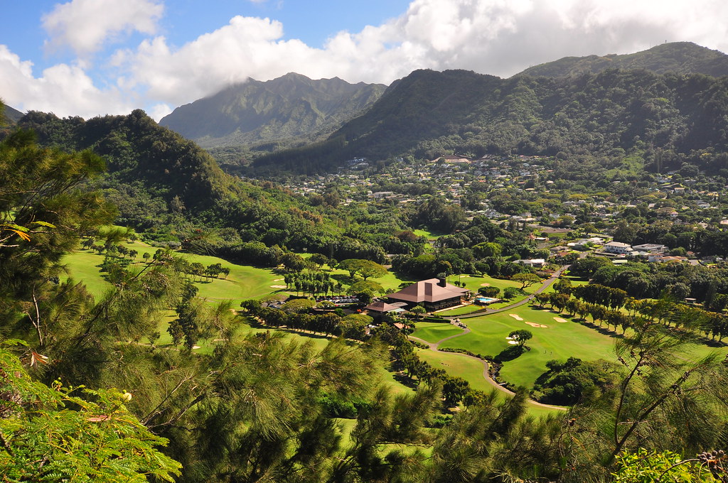
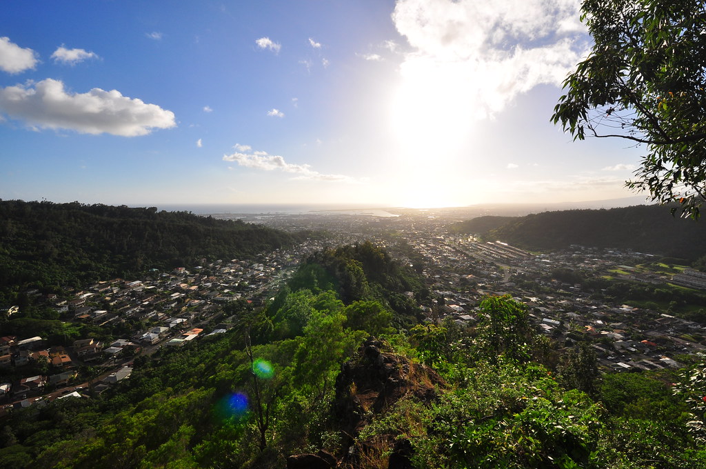
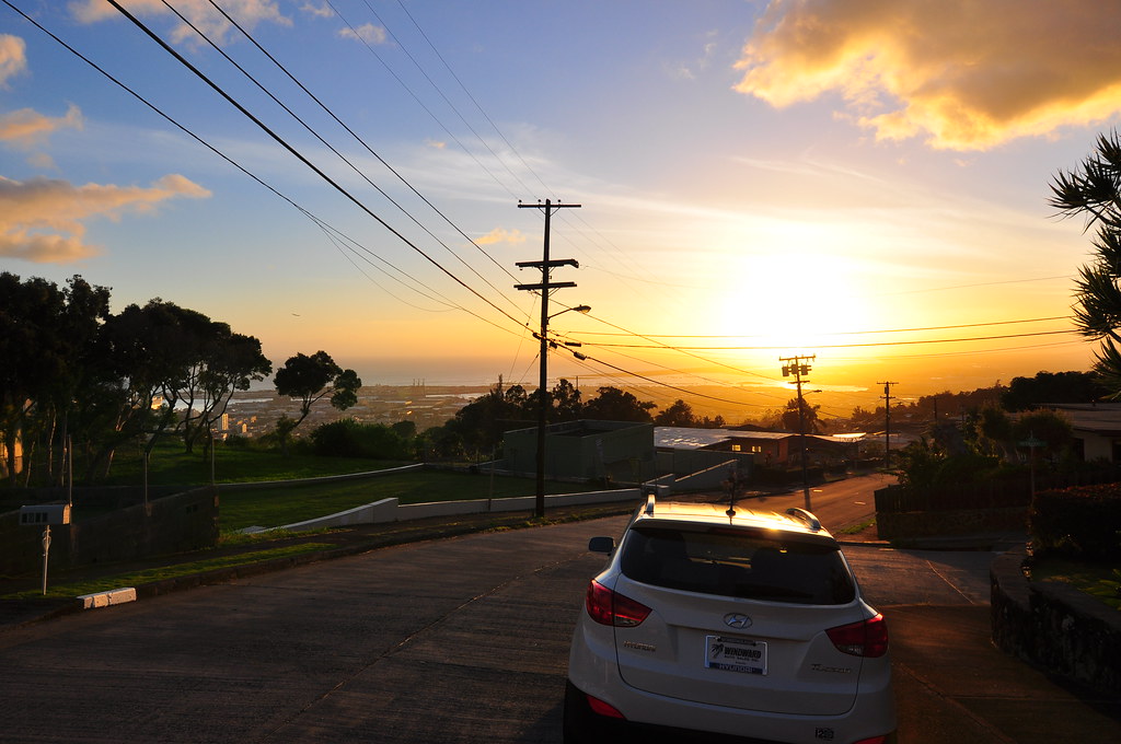
Our day began at 6:15am at the parking lot of the Hawaii Kai Costco.  We then dropped a car off at the Kuliouou Trail head and headed to Waialae Iki and checked in at the guard house for our pass for the Wiliwilinui Ridge Trail.  The great thing about this trail is you're leaving your car in a gated community with designated parking.  How nice is that?  We set off up the road to the water tank just before 7:00 am and asphalt gave way to dirt and gravel as we began the ascent up the ridge via the road which dates back to WWII.  Back then Wiliwilinui was home to 8" naval guns and SCR-296A radar in an emplacement known as Battery Wilridge.


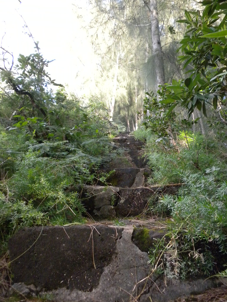
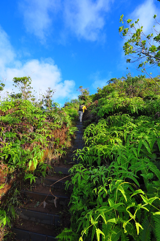
As we climbed the road we spotted the impact site of the plane crash just over a year ago and Nicholas Palumbo and his son Tim were killed enroute from Lanai back to Honolulu in some bad weather.  The vegetation was already covering up much of the scar making me spend a little time thinking about how soon we're all forgotten as the traces of our lives are covered up in an ever changing world.  Finally the road gave way to trail as we started up the steps that marked the real start of Wiliwilinui Trail.


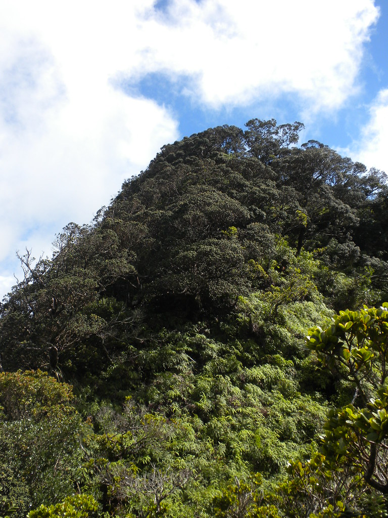
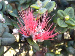
For some reason Wiliwilinui Trail is like Kryptonite to me.  Every time I get on that trail it's like the energy is drained out of me and by the time I get to the top I'm dragging.  Today was no different.  I hadn't got a lot of sleep the night before or even the night before that and I was already running out of energy.  My hiking partner bounded up ahead of me and mentioned that he was loving the slow moving version of me because he got to take all kinds of breaks waiting for me to catch up.  Up we went into what was now becoming a native forest filled with ohia, koa, mountain naupaka, uluhe fern, ohia ha, and others.

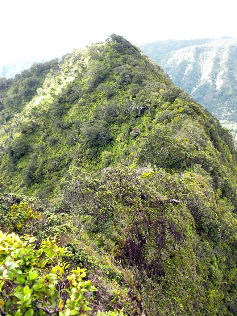
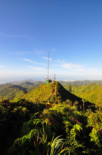
We passed more steps which included ropes to assist with some eroded areas and the radio tower loomed just a short distance away.  One final push and we marched passed it to the summit.

Wiliwilinui Trail Terminus
A short break, a helicopter landing, and a katsu spam musubi later I was ready to rock and roll.  Even my hiking buddy was amazed at the change as soon as we headed down the KSRT.  What followed was an amazing journey across the Ko'olaus. 

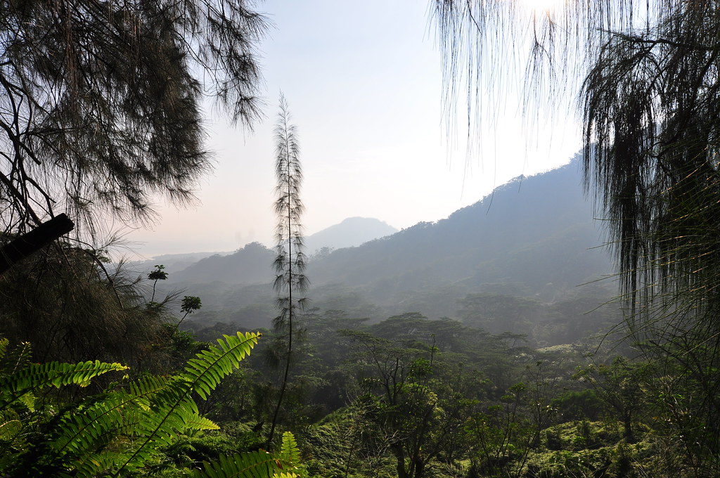
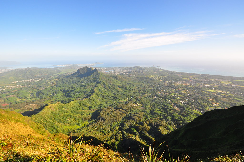
Wiliwilinui - Hawaii Loa

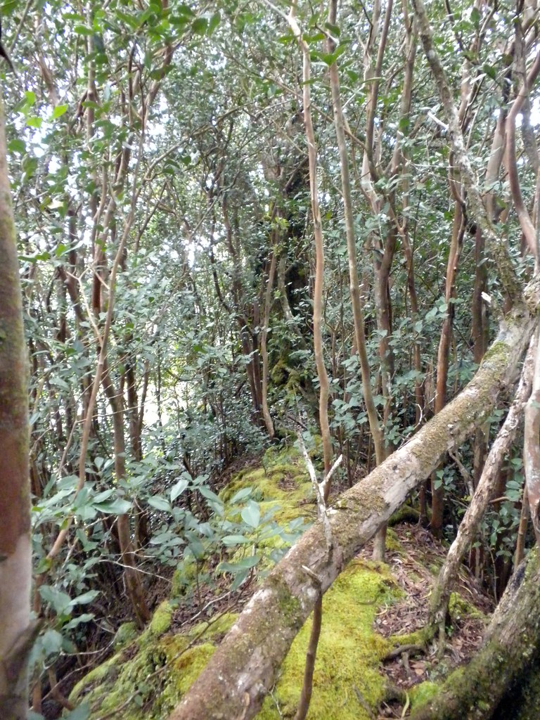
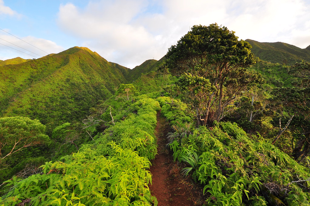
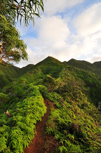
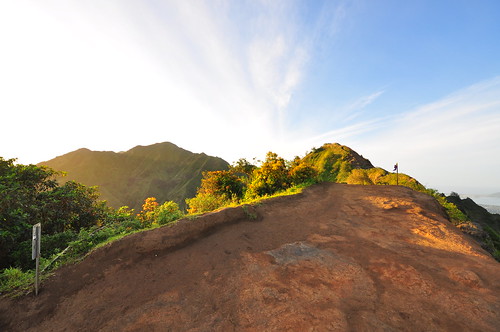
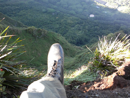
The second leg of our journey began as the sun rose above Mokapu'u and Hawaii Kai.  The summit trail was in good condition and despite the heavy rains the winter and in the days preceding our hike the mud wasn't too bad.  Like most of the KST, we hiked along the edge of the cliffs following the ridge line with a steep drop off towards Waimanalo below.  There were a few gentle climbs and descents initially  as we wove our way through the vegetation.
This segment required sure footing.
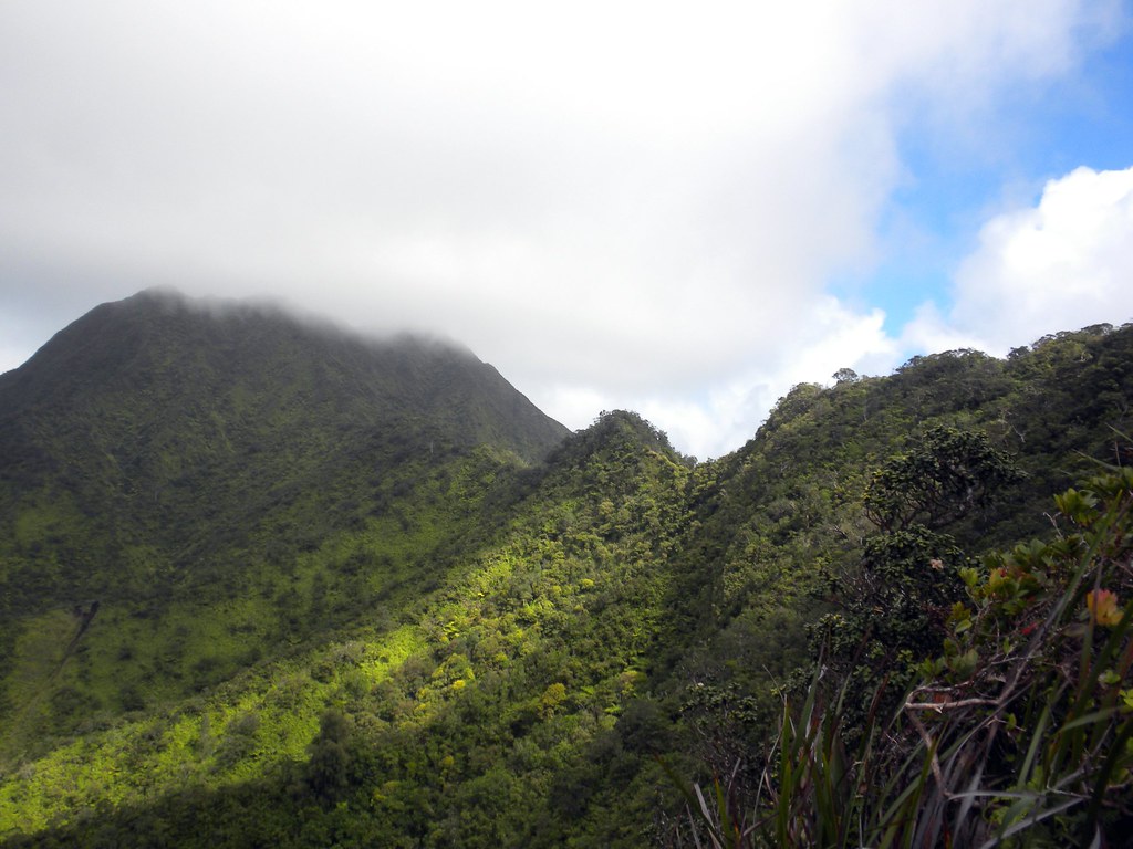
The Ko'olau Summit

I love the Ko'olau Summit!
II on a narrow ridge
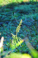
Trematolobelia Singularus?
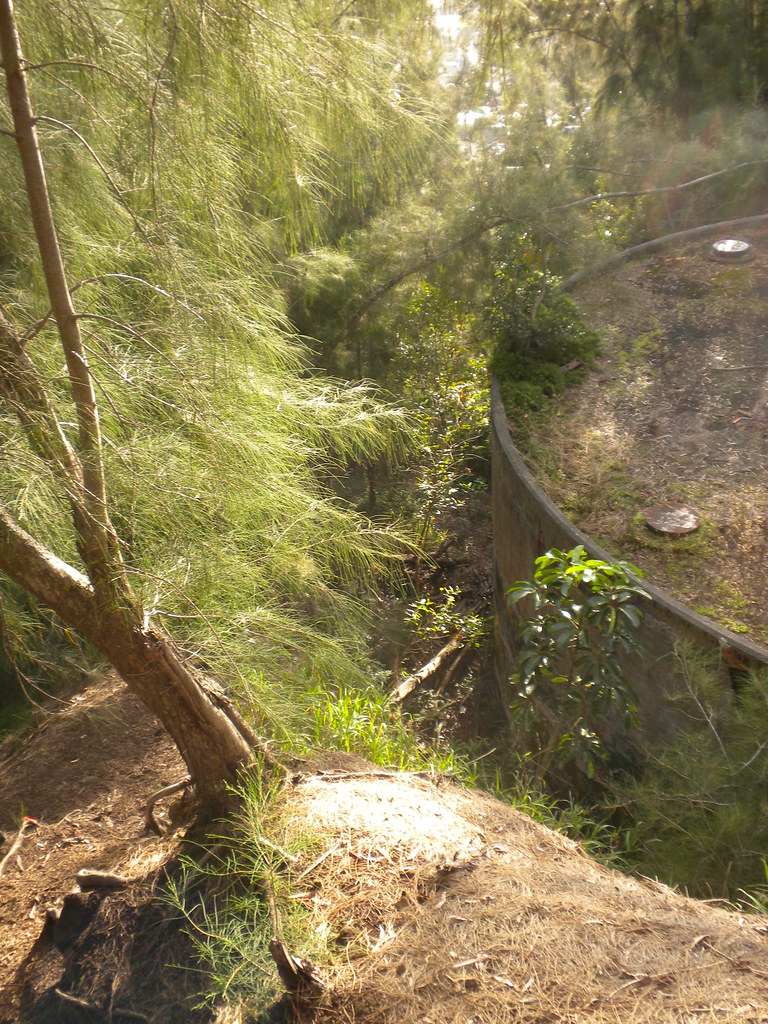
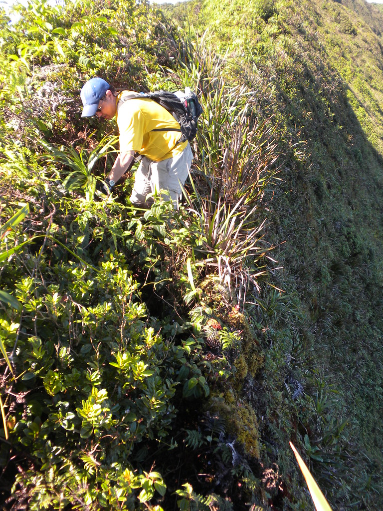
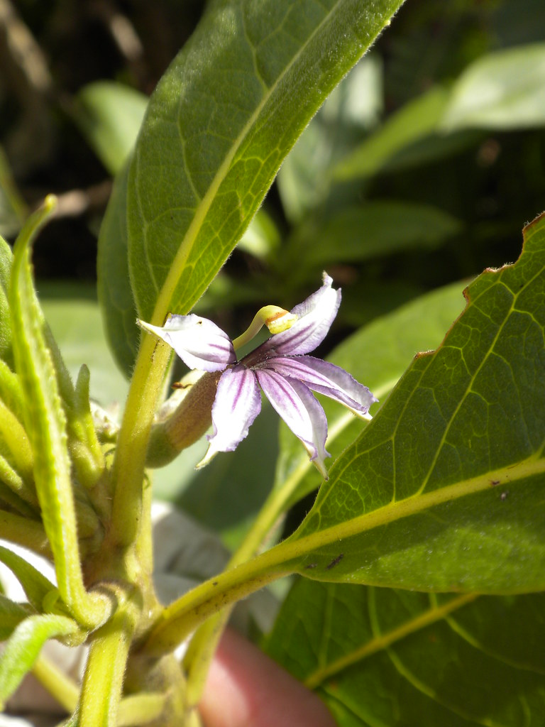
As I enjoyed the view the sun just happened to illuminate what I believe is an endangered Tramatolobelia singularis.  It was like a spot light had been aimed at it a few hundred feet down a cliff.  I switched lenses to grab a quick shot of it.   Unfortunately, the flowers had already fallen but it was still a treat to see.  As we got closer to Hawaii Loa there were a couple steeper sections that required some care.  I don't remember any ropes or cables along this section.

Some of the drops are pretty severe and there are some sections without vegetation for security.
Hawaii Loa - Pu'u O Kona
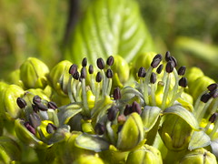
Kanawao Blossom
Kuhi'aikamo'owahie
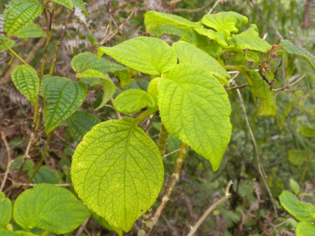
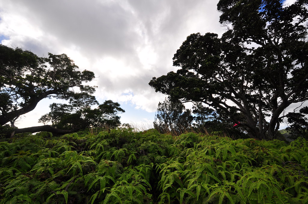
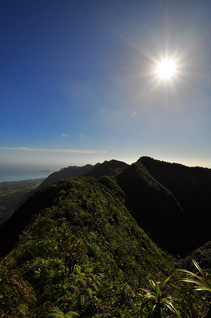
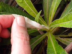
 This was without a doubt the most overgrown section of the KST that day.  The trail itself was unmistakable but clidemia, uluhe, and ohia had to be brushed aside and we really had to keep an eye on where our feet we going to avoid a fall.  Despite the sun beating down on us and the increasing vog the views were still spectacular.  It's not often you're treated to a cloudless look at the spine of the Ko'olaus with Rabit Island all the way to Koko Head.  Just prior to reaching Hawaii Loa I spotted a Kuhi'aikamo'owahie (Lobelia hypoleuca) just prior to the top of the ridge.  The bottom of it's leaves are snowy white which is the only way an amateur like me could identify it.  I've yet to see one in bloom but they are supposed to have gorgeous dark blue to purple colored flowers.

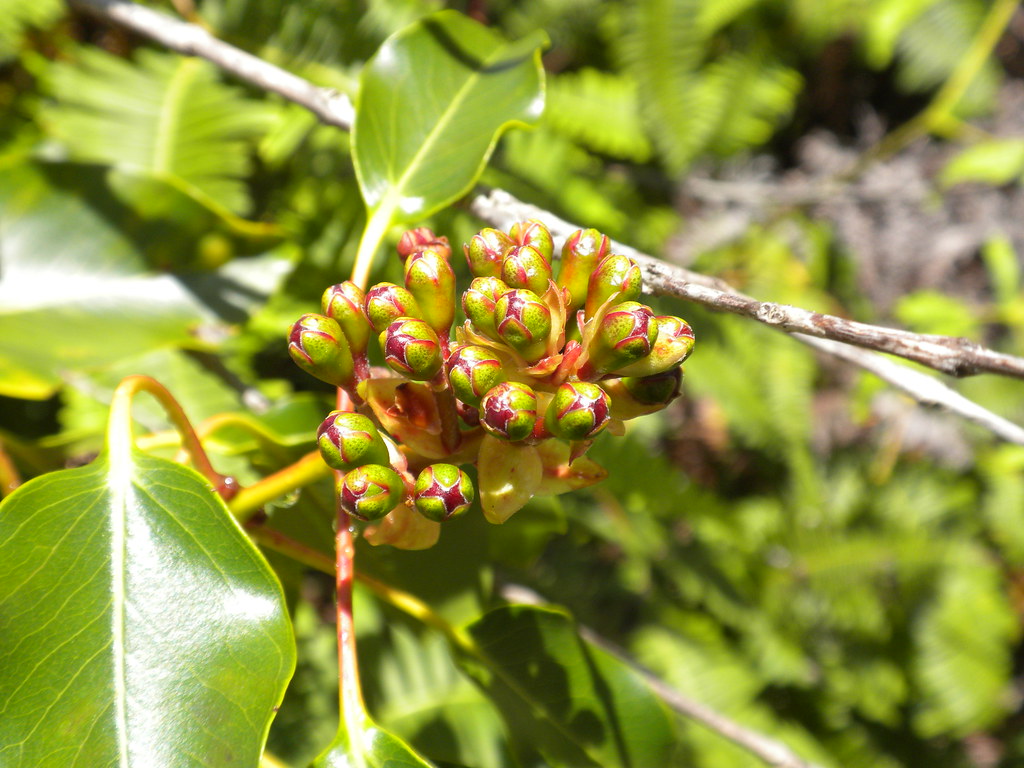
By the time we topped Pu'u O Kona my hiking partner was starting to get a little worn out.  We took a break and I suggested he grab something to eat to refuel for the remaining leg to Kuliouou.  Atop Pu'u O Kona towards the leeward side of the island there was a fantastic Kanawao, a endemic plant related to the Hydrangea,  in the process of blooming.  While my partner enjoyed the view I snapped pictures of the emerging blooms and the spectacular views. 


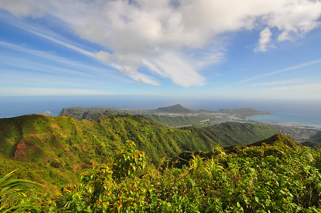
View of East O'ahu from Pu'u O Kona
Pu'u O Kona - Kuliouou

The clear skies turned voggy and the sun began to beat down on as as we made our way across the summit towards Kuliouou.  The trail's condition improved as I suspect this section receives a little more traffic.  About midway there was a long double rope section but the condition of the rope and the steel anchor made for an easy and relatively worry free descent.  After that valley we proceeded up towards the edge of the Kuliouou Forest Reserve. 


Lehua Papa Flower
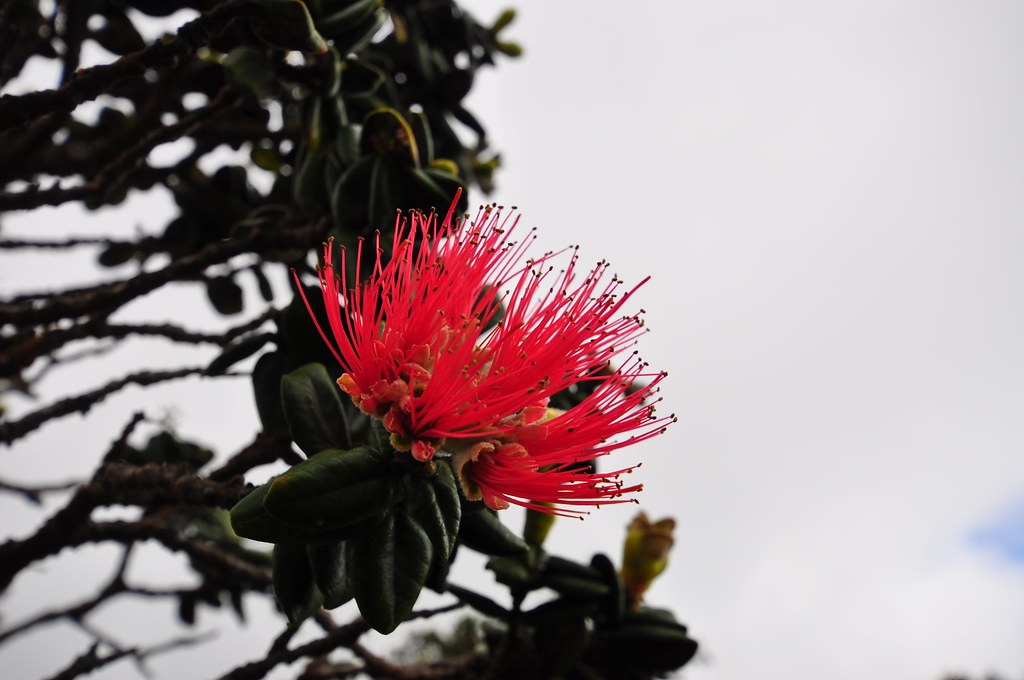
The climate changed from wet to dry and I was surprised to see a beautiful Lehua Papa tree in bloom in a drier area.  I don't know if the it's habitat made a difference but instead of the usually fiery red bloom this one was much more muted... almost creamy. 
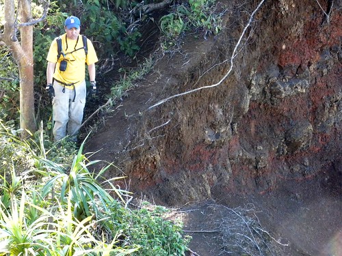
Landslide Section
Further down the trail was the "land slide section where a fairly large chunk of the mountain had eaten away and undercut the trail.  Comforting to us was that we didn't have a good view of just how much of the trial was missing.  Keeping to the leeward side we crossed uneventfully.  A short while later we arrived at the terminus of the Kuliouou Trail and the end of our KSRT crossing but the beginning of the final leg of the day.

Kuliouou Trail Terminus
 Kuliouou Trail 


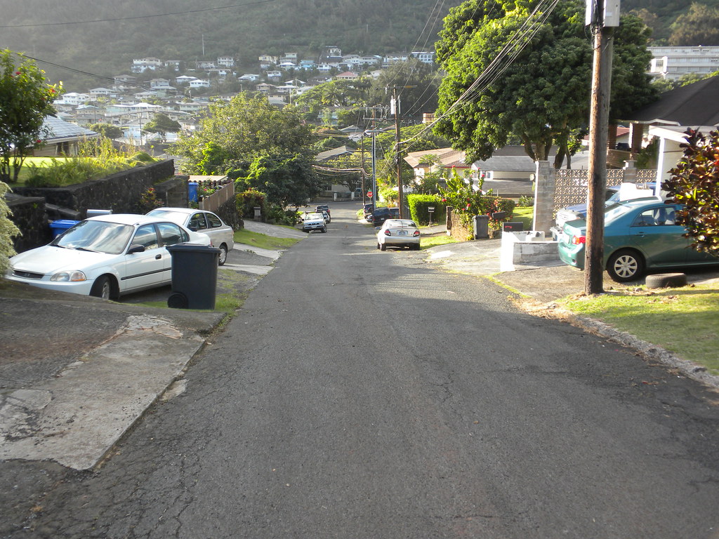
I'll admit it, I'd snubbed this trail and had never been on it.   I prefer the rain and cloud forests so this had never been high on my list of hikes to do.  My hiking partner had so the fact that we weren't going to get down before dark didn't bother me.  Thankfully the clouds had moved in and they blanketed the worst of the sun.  As we headed down the ridge we passed a guy trail running who blew past us like we were standing still.  We continued down into the Norfolk pine and then the Ironwood forest as the sun began to set.  I took my last picture of the sun setting behind the pines.  With the light fading into darkness we continued down into the switchback section of the trail.  I had a flash light but the half moon was good enough for me to see as my hiking partner donned his headlamp.  I recognized the plants around me simply by their smell.  I spent many Friday nights in high school climbing up Ka'iwa Ridge in Lanikai in the dark so the haole koa, guinea and molasses grasses were familiar scents.  Eventually I tripped and fell with a not so graceful recovery but pride dictated that my flashlight would stay in my pack!  Soon the trail faded to asphalt as we passed the hunter check-in station and we arrived back at the car.  A short drive back to retrieve the other car at Wiliwilinui and our day was over.
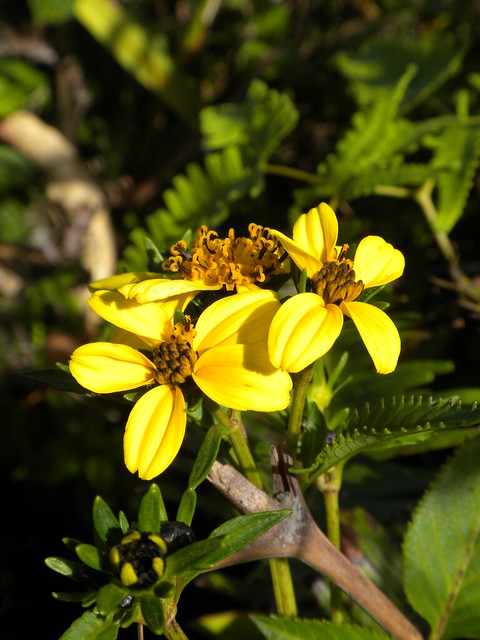
Ko'oko'olau
Last shot of the day
Mountain Naupaka
As our first time on the KSRT I could not imagine doing it the clouds.  There are no signs at any of the ridges so without either a GPS enabled phone or a lot of experience with the various ridges you'd have no idea where you were most of the time.

By the time the hike was over we had been treated to some of the most spectacular and amazing views O'ahu has to offer.  I could have knocked this trail out in 6 or 8 hours but this was my hiking partners 7th hike in his entire life.  When it gets steep or there's any kind of drop off he is slow and careful because he just doesn't have the experience yet.  Perfect for me because I can take all the pictures I want and do some exploring. He deserves a ton of credit for his can-do attitude and his determination!

I would NOT recommend this trail to anyone who's unfamiliar with the ridges along the route and doesn't have some fairly advanced hiking experience.  There is a whole lot of potential for some really bad things to happen and getting stuck on any section of this trail at night would be extremely dangerous.   More pictures of this trail and others I've done are can be viewed  Flickr.  Aloha and thanks for reading.
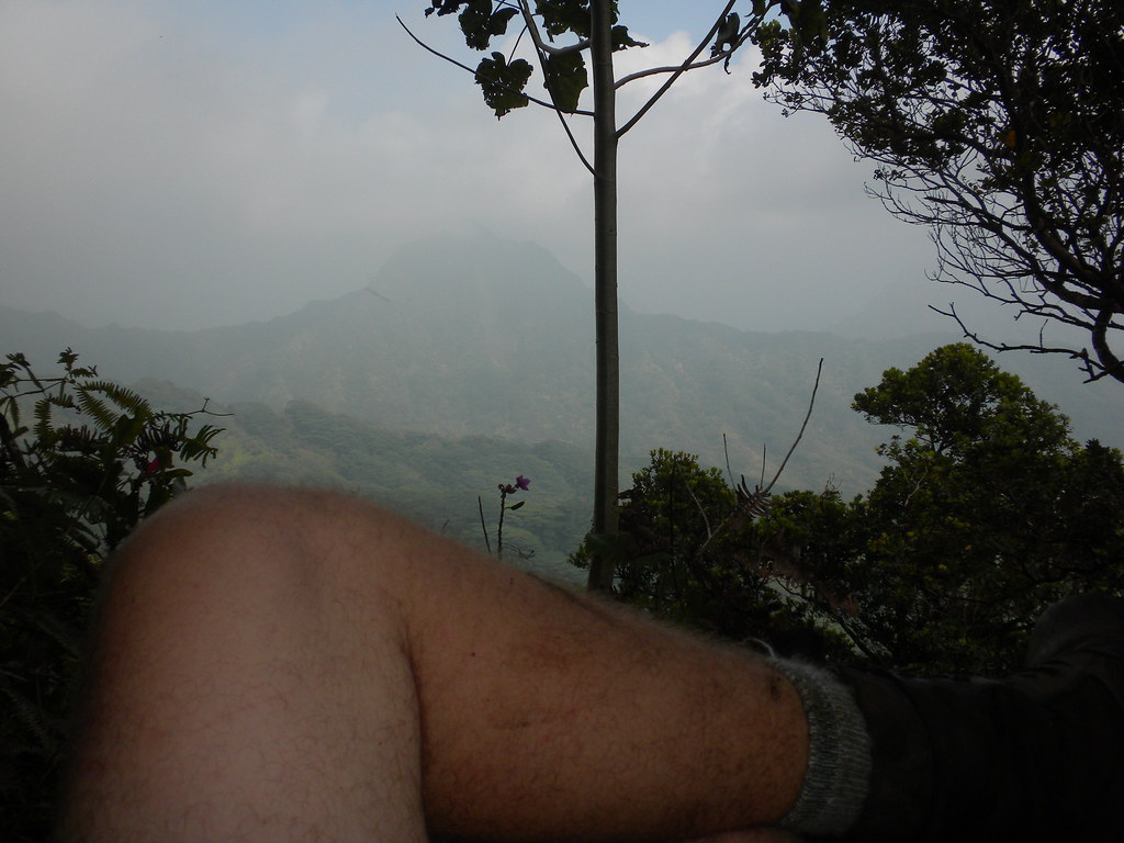
Hanging out...