This segment of the Ko'olau Summit Trail has intrigued and frustrated me for over a year. I anticipated it as having some of the most amazing views of O'ahu in the Ko'oaluloa area and I wasn't disappointed. After cutting short our recent attempt to tackle this segment from Poamoho last month I'd relegated it to waiting for the next federal holiday to get another permit but when my hiking partner bailed out on me this week I decided I'd finish the whole section of trail from Pauao to Castle Junction then down Papali solo. Note that the blog post is titled Pauao to Castle... yeah, things didn't go as I planned. Yesterday's short trip to Sacred Falls after a grueling midnight shift had not quenched my desire to do some hiking and the week long trek of the entire Ko'olau crest by super hiker Chase Norton also provided some motivation to get off my rear end despite all the overtime I'd been working.
I arrived at Kahana Valley sometime after 6am and parked just outside the neighborhood at the end of the road. I finished my coffee and waiting impatiently for my Droid RAZR to charge. I only got to 60% before I decided I couldn't wait any longer. I still have the old Droid 1 with several extra batteries so the RAZR was serving backup anyway. I put on my boots and locked the Jeep making one last mental check of my gear and emailed my route to Mrs. XJ before setting off up the road towards the water tank where the trail to Pauao starts. This segment is almost exactly 1.5 miles.

The initial road walk was fairly uneventful but I had to stop to check out some Mountain Apple blooms that have started popping out in recent weeks. Ohia Ai is a Polynesian introduction and it's magenta blooms aren't quite as vibrant as the lehua flowers but are still eye catching.
I arrived at the water tank at 7:09am and took a mental deep breath. Pauao really beat me up last time I'd gone up it but that had been after a midnight shift at work so I was hoping that there would be a breeze to keep me cool and than a full night's sleep would help tame the trail a bit. The initial section to gain the crest of the ridge was still just as steep and slippery as I'd remembered it. There was not a breath of wind as I struggled up through the hapu'u fern and hala trees. By the time I reached the crest I was lathered in sweat. The sun was shining its first rays down into the valley from over Pu'u Manamana which separates Kahana from Kualoa.
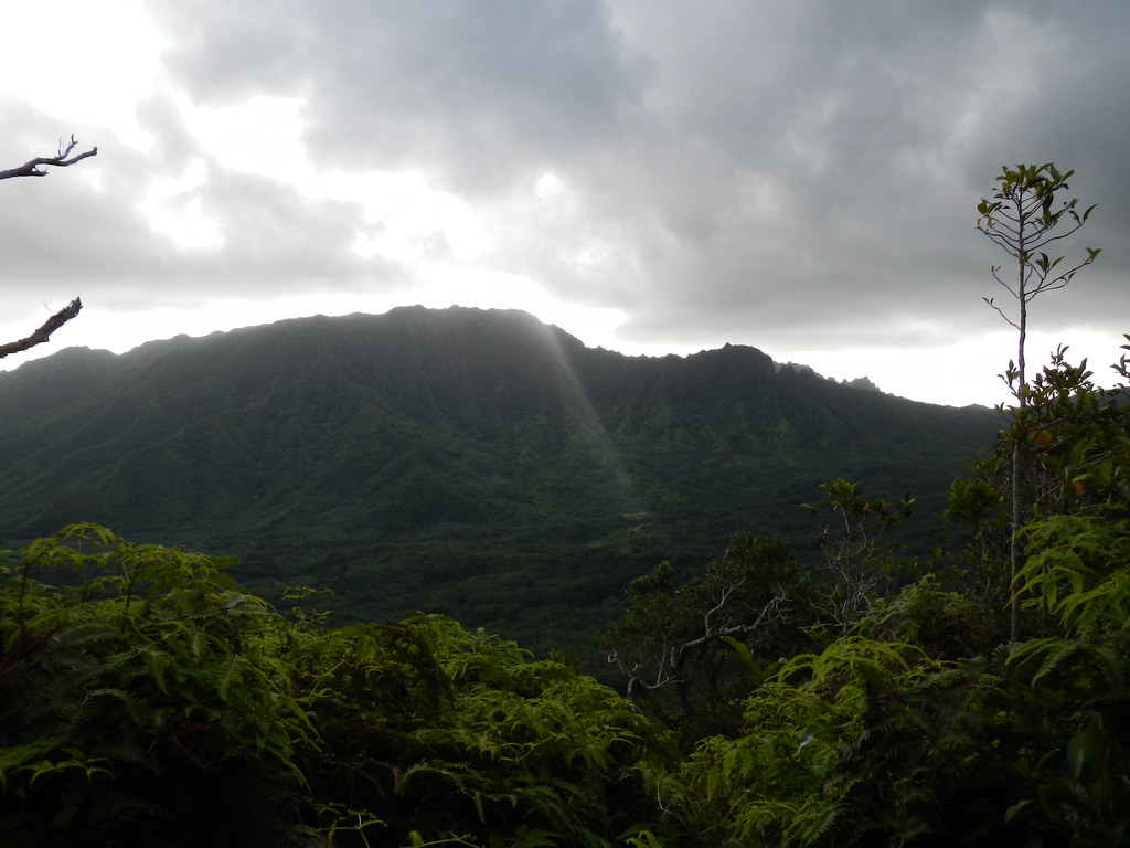
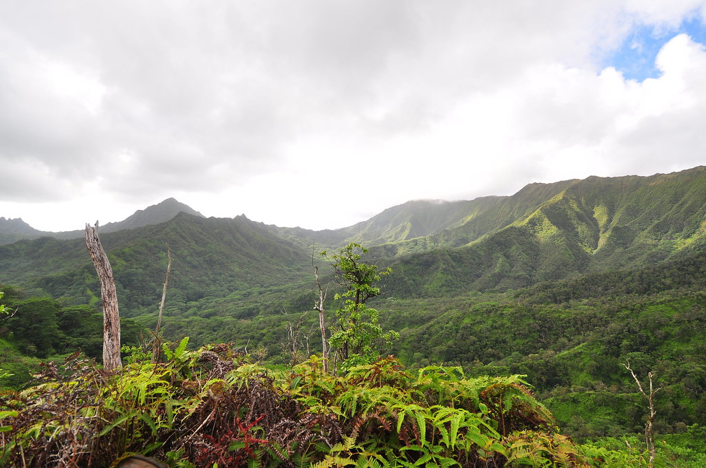
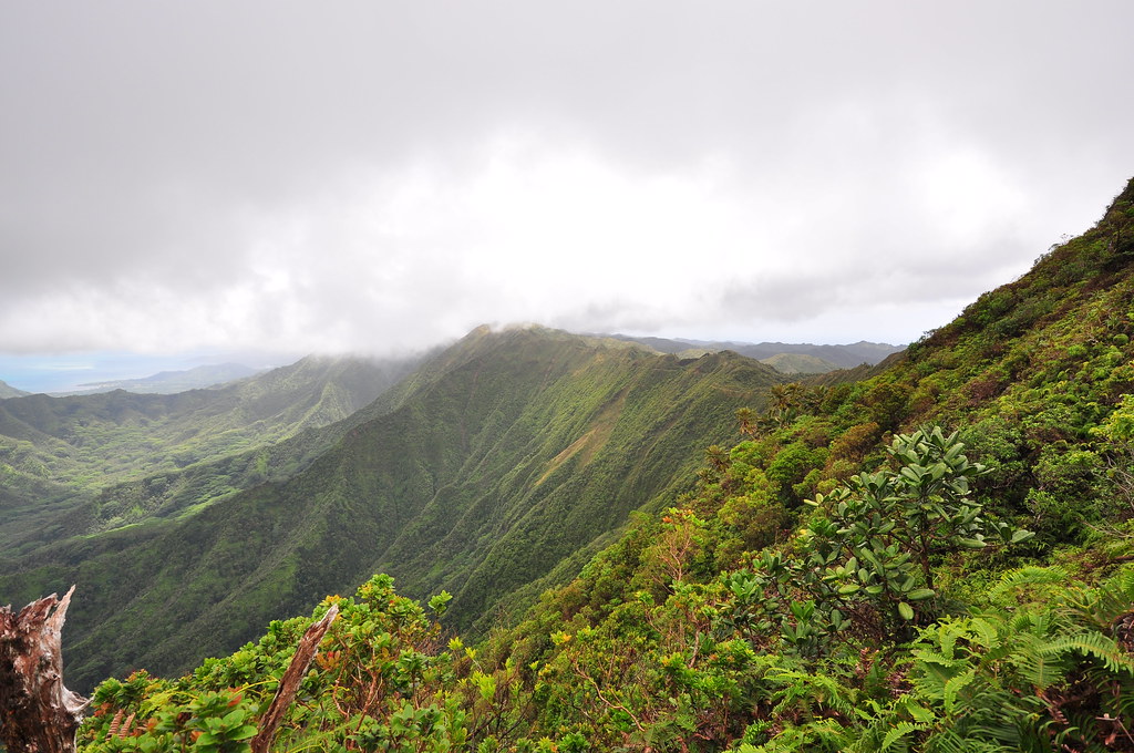
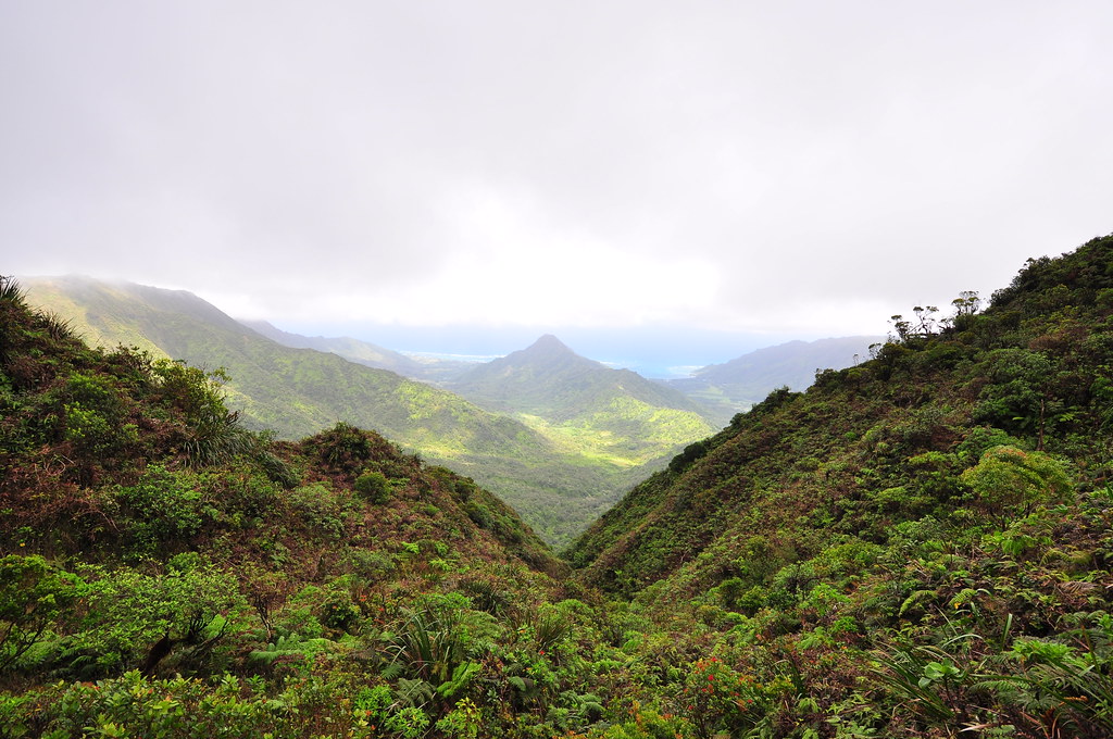
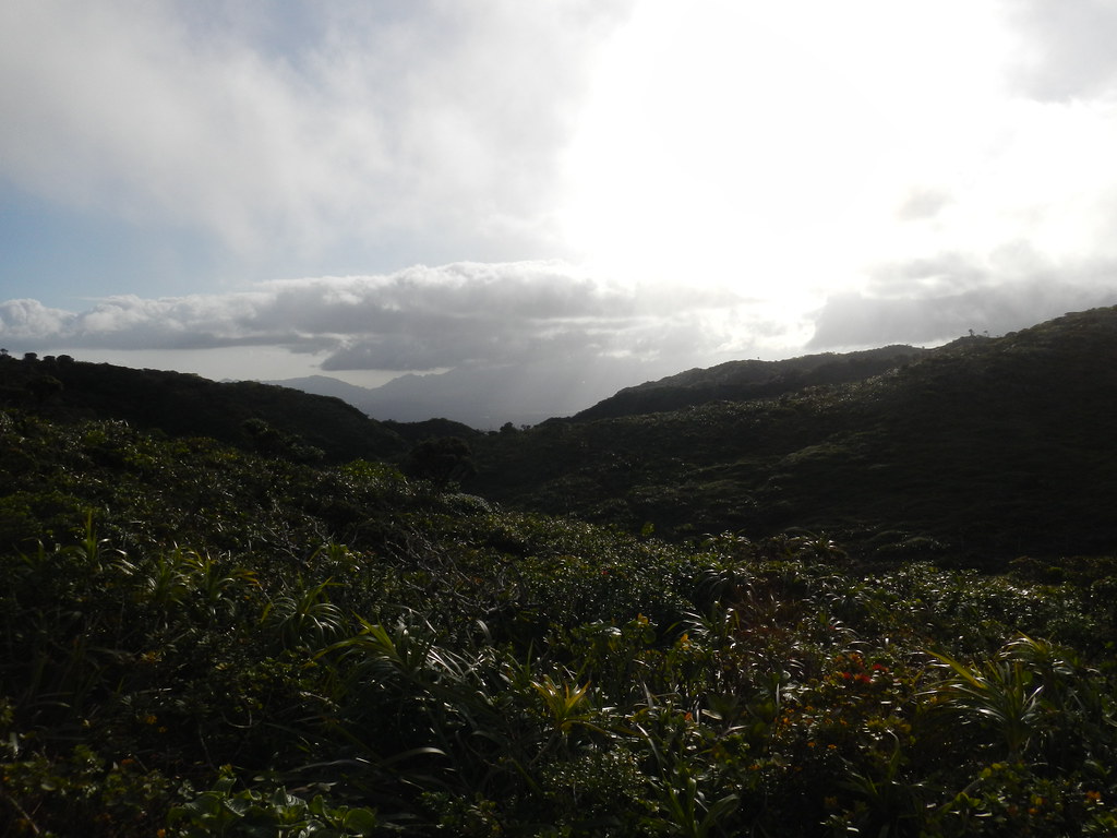
Gaining the ridge, I could see down into Punalu'u Valley which would end up being my destination later that night. Where I'd exit later is just 1.75 miles away from where I stood.
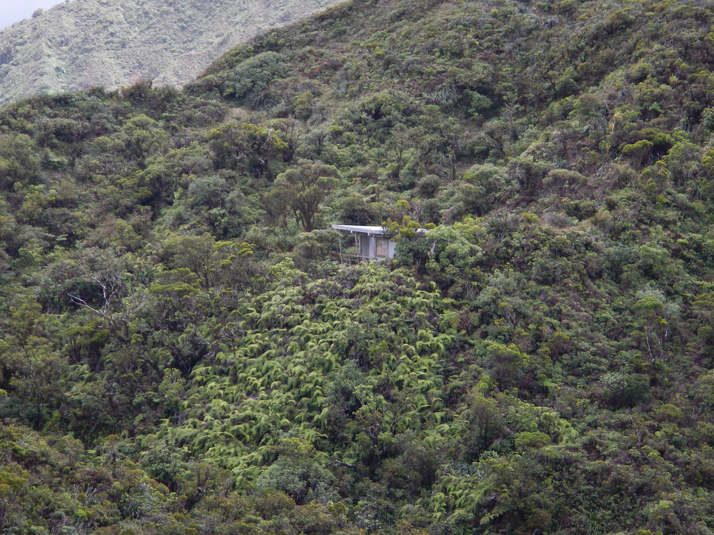
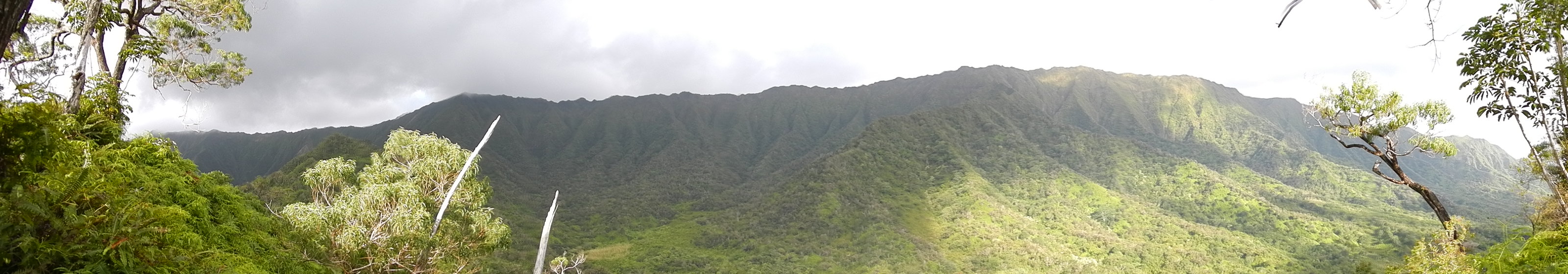 |
| Punalu'u Valley viewed from the climb up to the ridge from Kahana Valley |
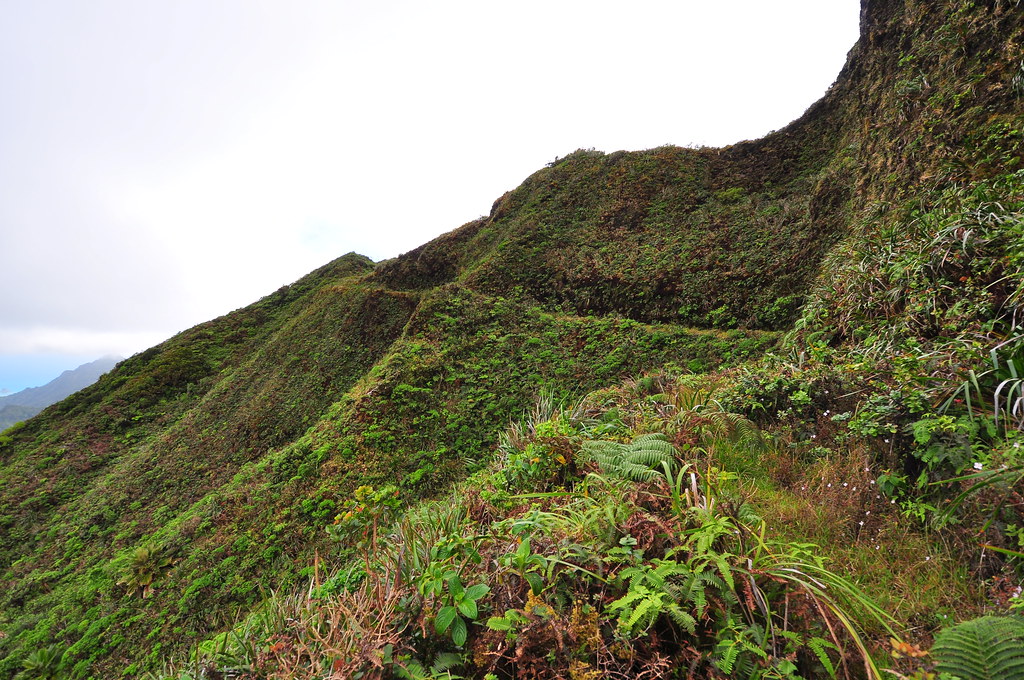
Working my way past a couple climbs and descents I passed a big, well O'ahu big, Koa with a rope for assistance to gain the crest.
The ridge rolls so much it's hard to say how many up and and downs but I count this as the third large climb. Just beyond is yet another I dubbed Pu'u Heart Attack as I felt like I was going to have one climbing it!
 |
| Pu'u Pauao from Pu'u Heart Attack |

 |
| Looking back down the Papali Trail |
 |
| Looking east from the ridge. |
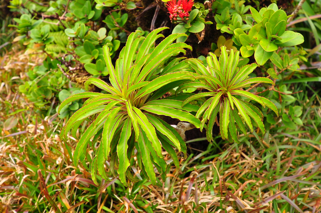
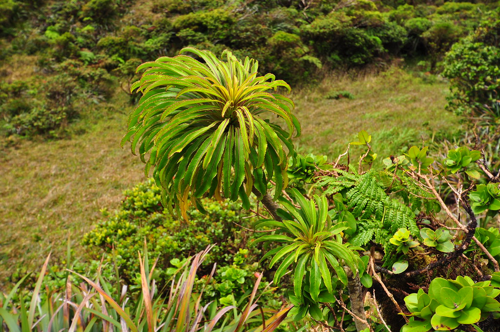
Honestly, I wasn't keeping very good notes on the trail side plant life. Today was more about completing a section of the KST than plant life but I couldn't help taking a few shots of the more interesting or unusual ones along the way.
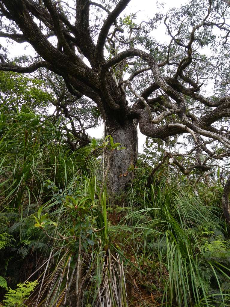
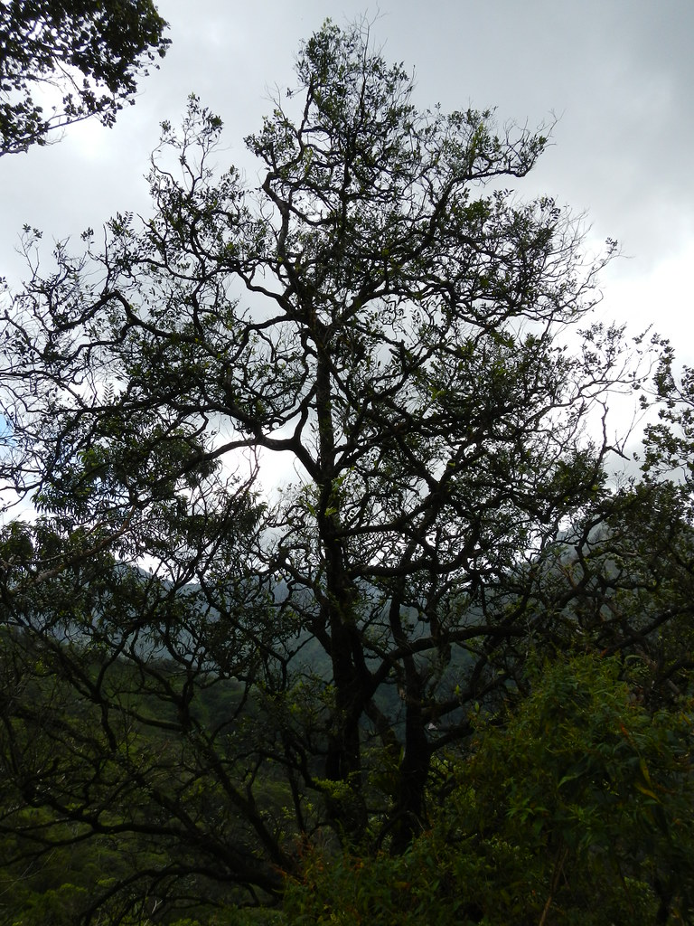
I spotted what looks like a huge Lama tree. I guesstimate it at about 40 feet tall.
This Kanawao has some strange galling on the leaves.

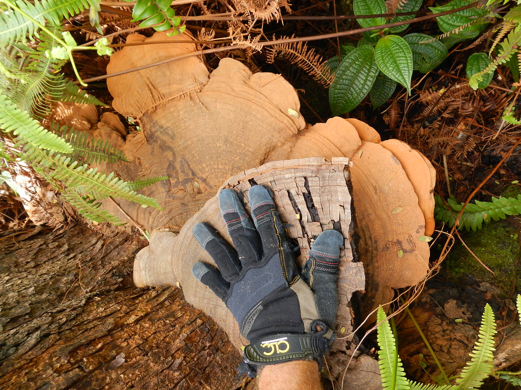
Check out the size of this fungus growing on a Koa!
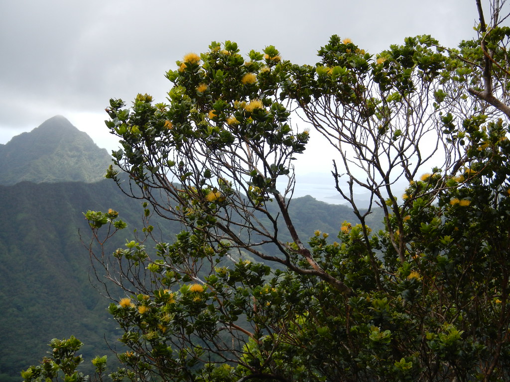
Later in the trail I spotted some almost golden colored lehua flowers which seemed richer and darker in color that the typical yellow.
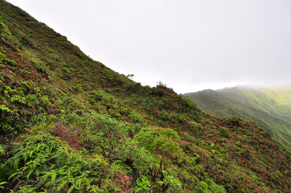
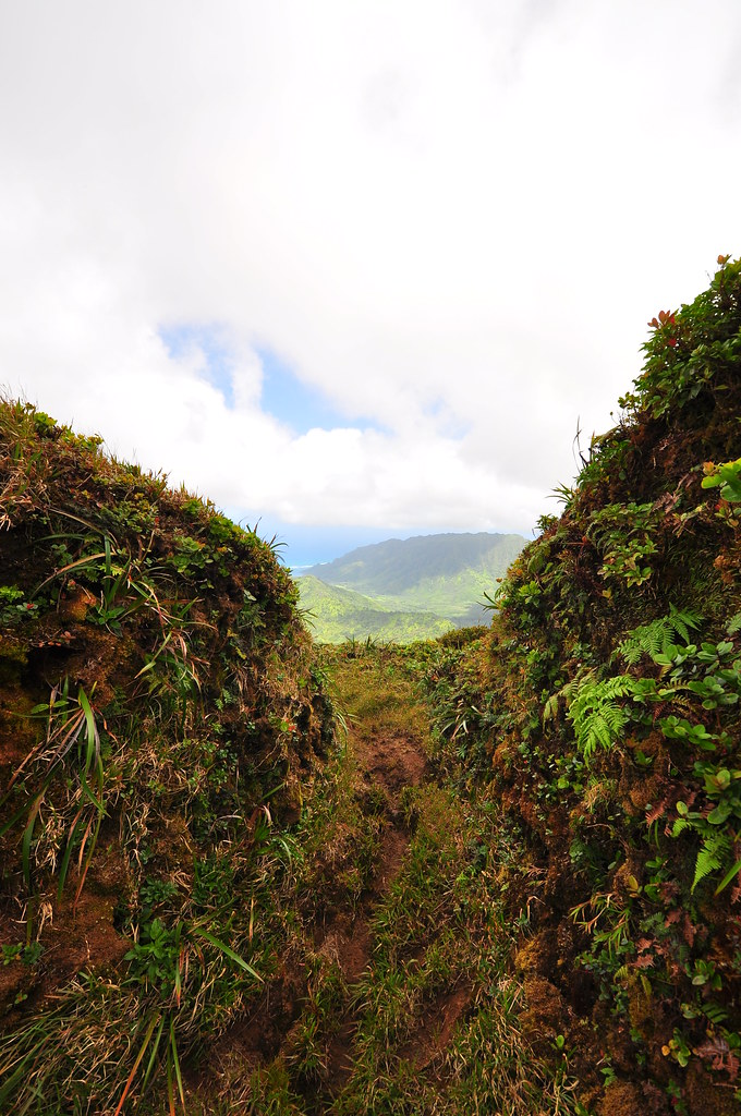
Hoping that my heal wouldn't ruin the day, I continued up the last series of climbs and descents until I reached the final climb section that would take me to the KST. Looking up at the windward sections of the KST blasted into the side of the Ko'olaus provided the motivation I needed to continue up the trail. I fretted a little about the clouds that looked like they may be moving in for two reasons. First, the phenomenal views of the valley would be lost and second and more importantly I'd need some visibility to identify the overgrown trail when it left the crest near Castle Junction.
 |
| The final climb to the KST |
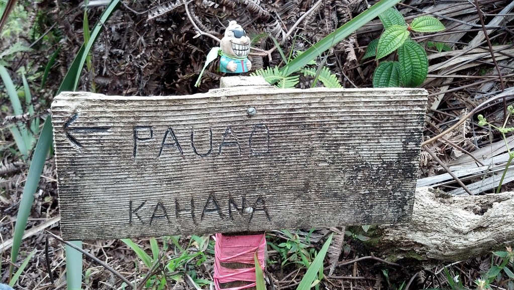
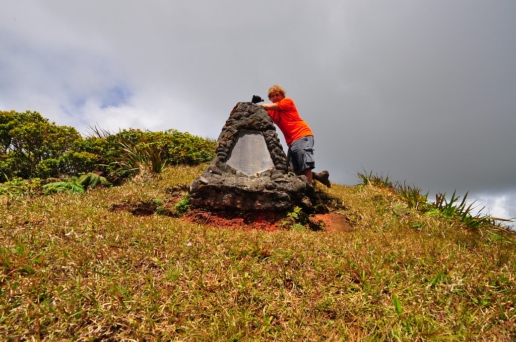
The poor little troll on the Pauao sign had last all his hair since I'd last visited him...
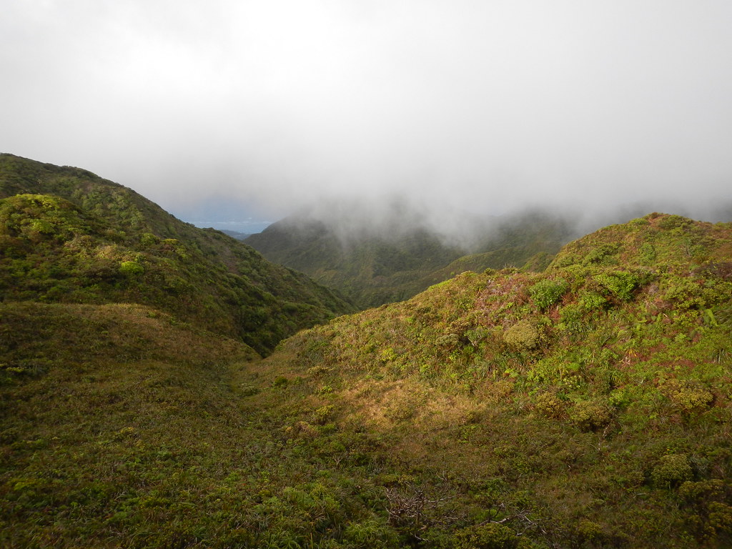
I took a couple shots of Punalu'u and Kahana Valley before setting off westward on the KST.
 |
| Pu'u Pauao eastern view |
 |
| Pu'u Pauao western view |
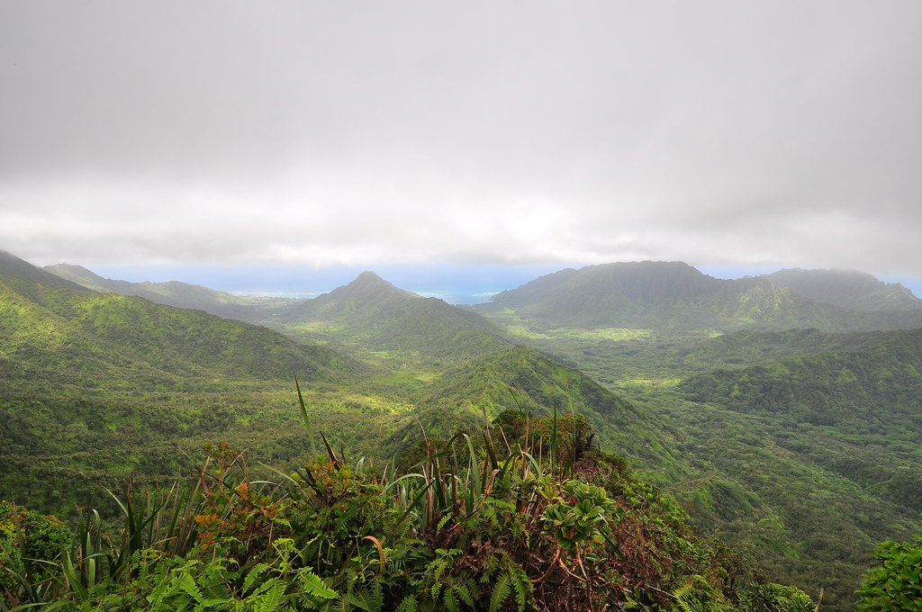 |
| Punalu'u and Kahana Valley |
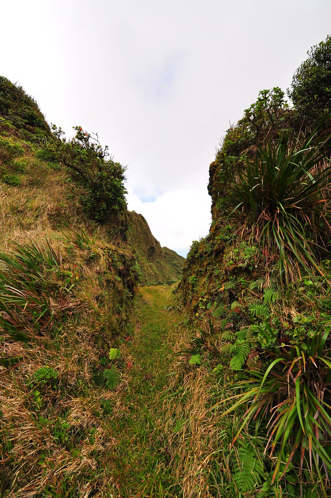
 |
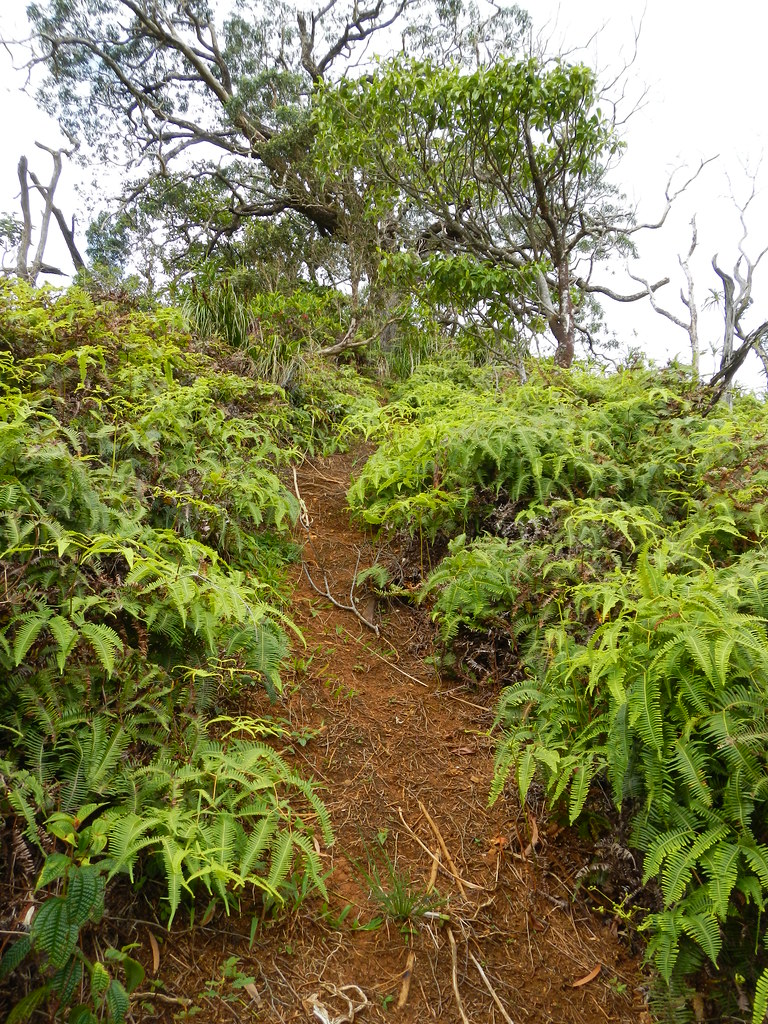
| Wide open trail |
 |
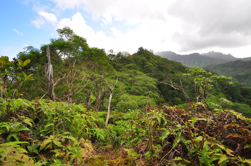
| Panoramic from beyond Pu'u Pauao |
 |
| I liked the symmetry of Pu'u Piei in the background with the small valley in the foreground. |
 |
| Gorgeous trail! |
 |
| Smooth sailing... |
 |
| The First Notch |
 |
| Leeward Views |
 |
| Back to windward |
 |
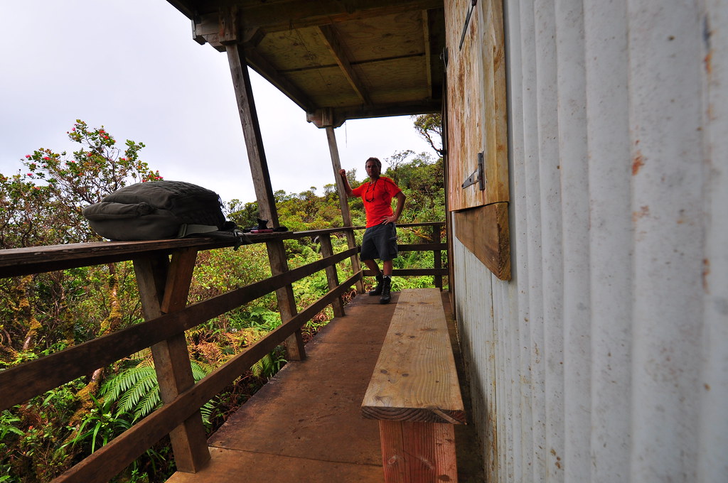
| First sighting of Poamoho Cabin |
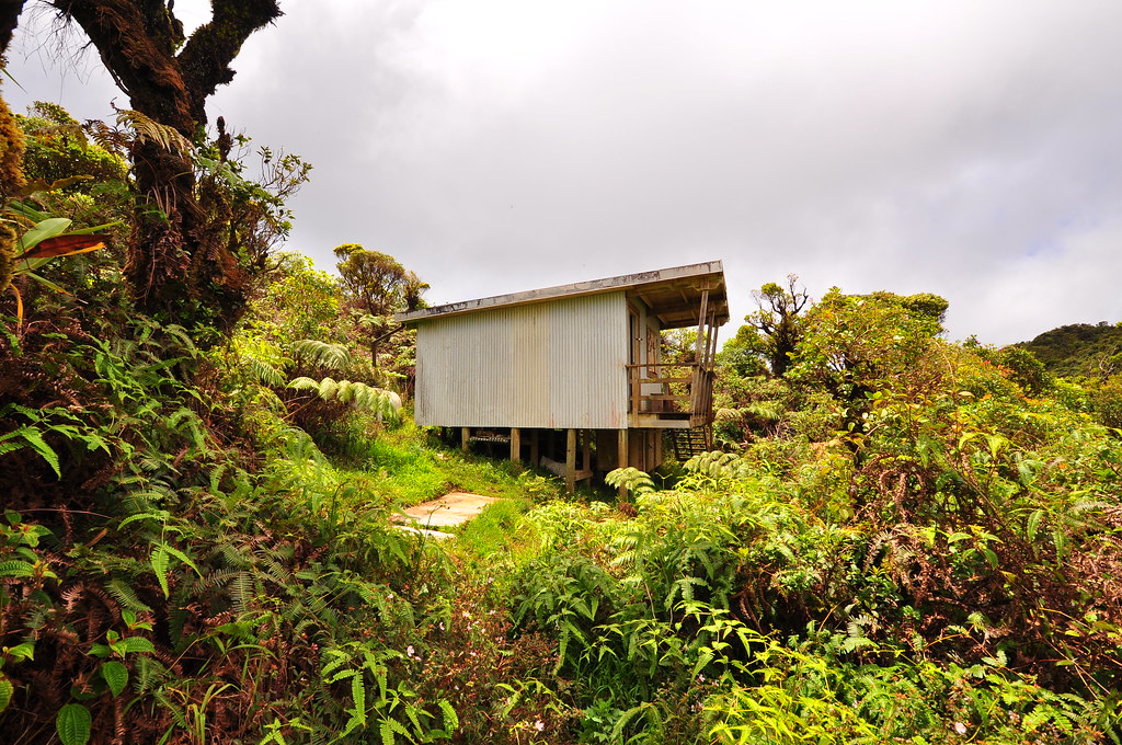
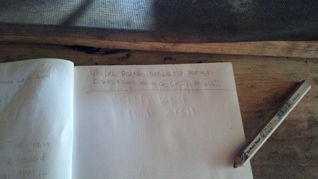
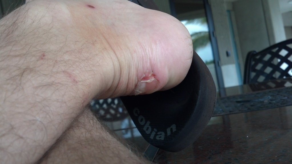
As I approached I saw the door was open but when I arrived I didn't see any gear or sign of activity. After signing the guest log I "borrowed" some old duct tape and wrapped my heel and the nasty blister that the moleskin hadn't really helped. Next time I'm here there will be a nice big roll of fresh duct tape in my pack to repay my debt.
There wasn't much tape to use and not wanting to use all of the tape that didn't really belong to me, I settled for a couple 2 inch strips which I applied directly over the blister. After putting my boot back on I grabbed a self portrait and continued down the trail towards Poamoho Junction a half mile away.
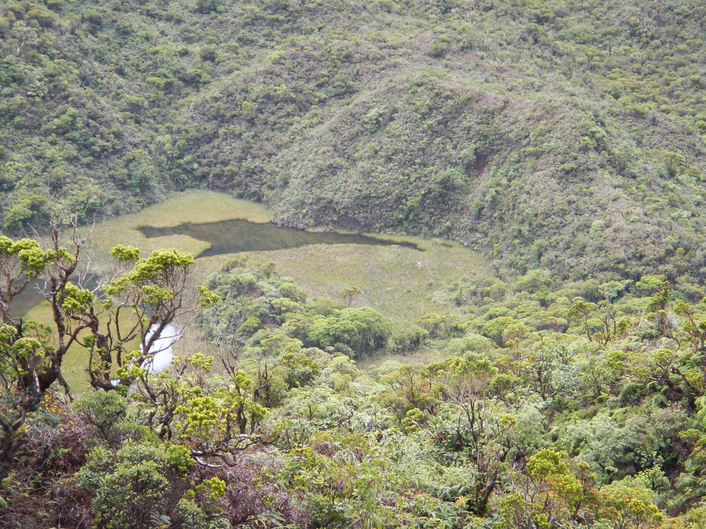
Just below the cabin there's a large pond that I'd seen on Google Earth doing my research for the trail. I noted a white object which might be some kind of gauge sticking up on the west side of it. Some day it would be fun to visit the pond area but there was no time for it today.
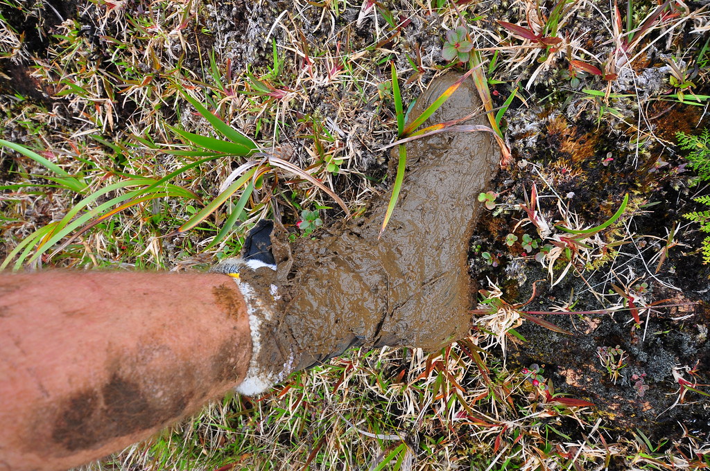
As the trail continued westward the views of central O'ahu kept getting better. I noted many more footprints in the mud in this area- human, pua'a, and dog.
 |
| Leaving Poamoho Cabin behind... |


There seemed to be little danger of the ridge clouding anytime soon but I still worried about the last section before Castle. When the clouds roll in it can be confusing and a couple ohia bushes or some uluhe can mask a few feet of the trail making it difficult to see a turn. I've heard stories about people getting lost up here and even Back Country Navigator or GPS only provides educated guesses as the trail has moved in a few spots throughout the years and as datums and mapping techniques have changed.
 |
| Approaching Paomoho- The green metal snail enclosure and the solar powered weather station |
 |
| Switching sides again |
 |
| Poamoho Junction |
 |
| The snail enclosure... well what's left of it. |
 |
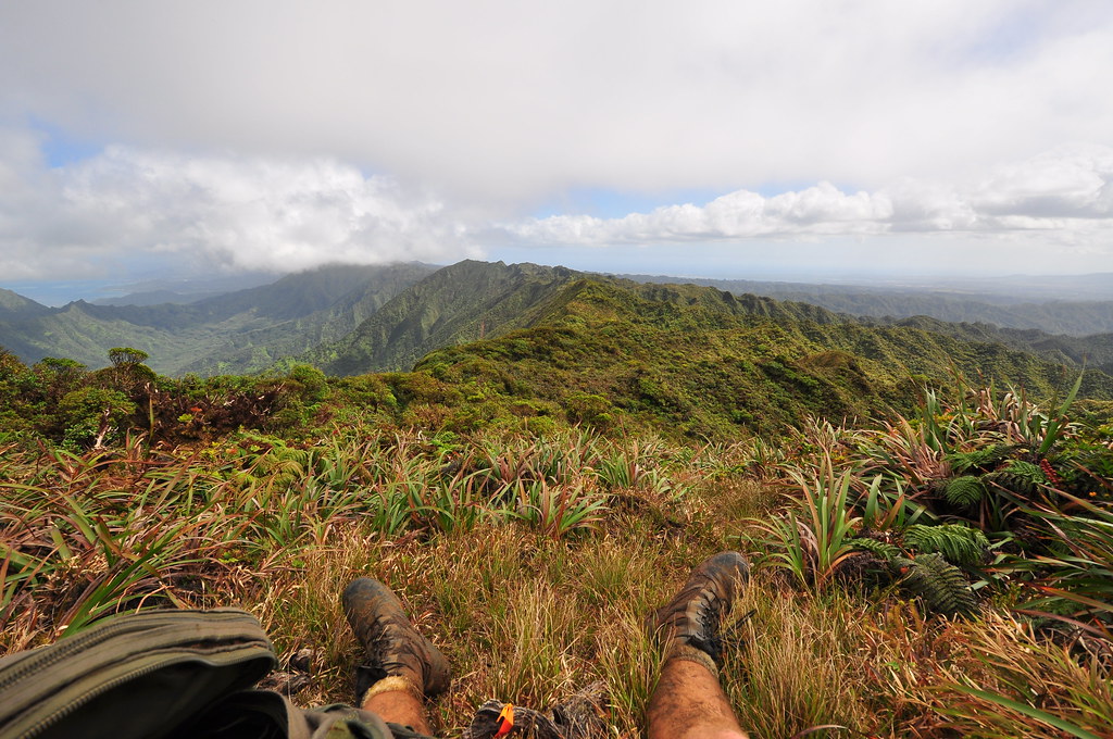
| Poamoho leeward view |
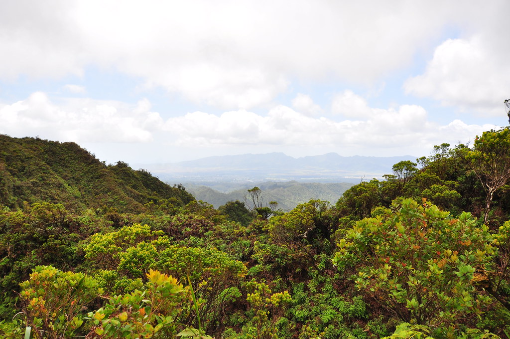
The views of from this section of the Ko'olaus are simply amazing. I took far too many breaks to enjoy them.
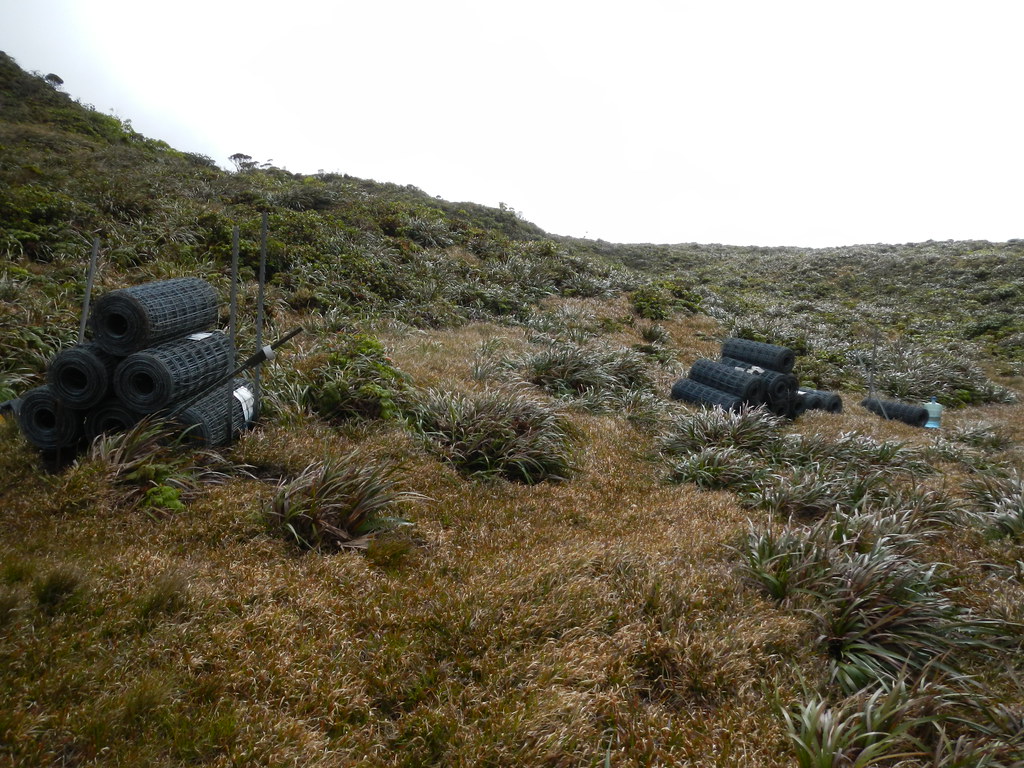
After continuing westward 0.4 miles I hit one of the fences along the summit. The trail generally followed the fence but occasionally I could see where it diverged and then rejoined. Now that I have the trail's gps track I can actually see the fence line on Google Earth.
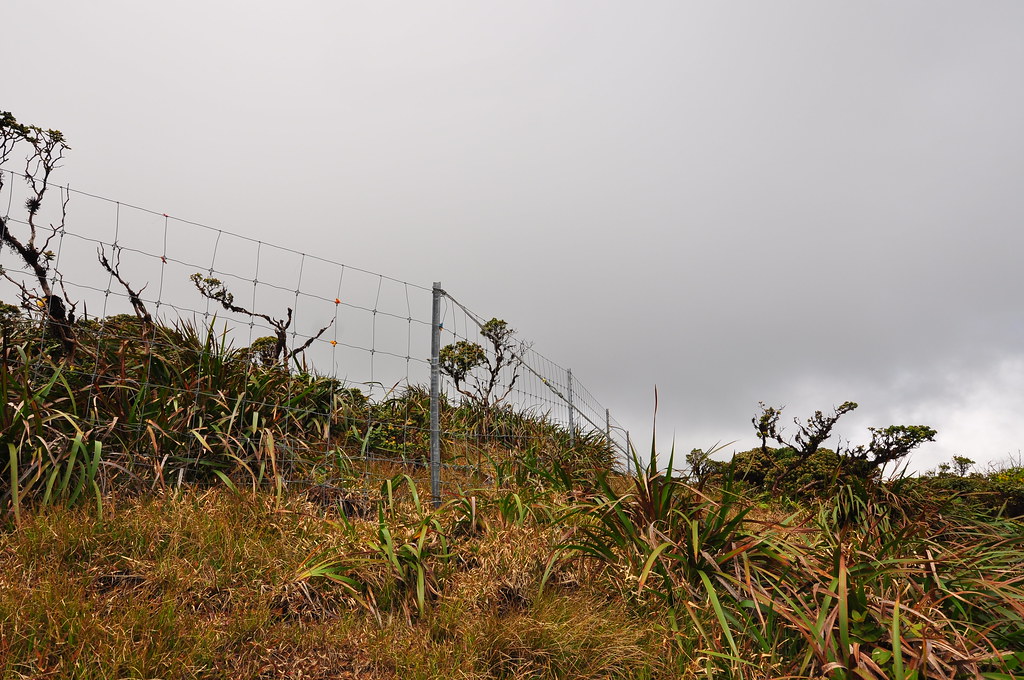 |
| Start of the fence |


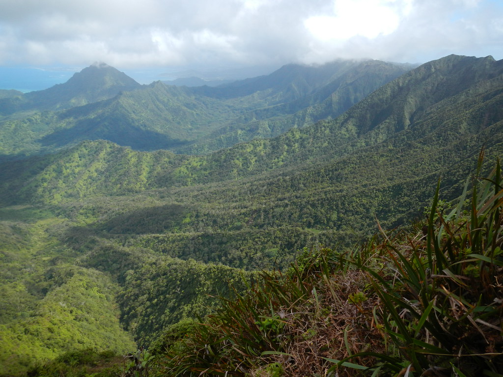
The viewing angle of the windward valleys below had changed now. The variations of emerald to forest green and the weathering of the Ko'olau summit combined for a stunning landscape.

After leaving the fence crossing with the boot on a poll it was a short walk over to a steel matted helicopter landing zone with some fencing materials and a big Menehune Water jug. The LZ is roughly one mile from the Poamoho Junction.
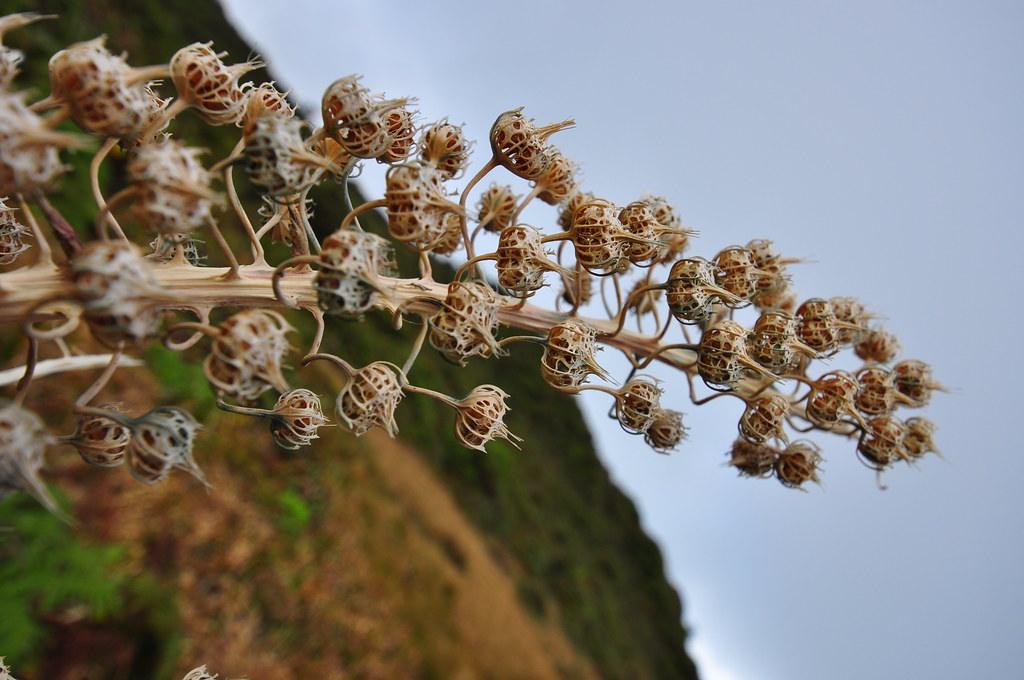
In the vicinity of the landing zone I noticed the skeletal remains of a Koli'i. Trematolobelia macrostachys blooms then small fruit form but instead of dropping from their stalk the sides of the fruit open and the seeds are dispersed by the wind. There are plenty of these great little plants all along the the KST from Castle to Waikane.

At the LZ I took a long break to eat, drink, and enjoy the beautiful back country of O'ahu. I'd been rationing out my water and, to be honest, I'd become a bit dehydrated. I hadn't stopped at the Poamoho Stream or taken any of the catchment water at the cabin to refill and I was reaching the end of my 3 liter Camelbak supply. I still had my backup bottle of Aquafina but that was only a half liter. It now 3:52pm so it was getting later in the day and I still had a some pretty serious ground to cover so I decided to cancel my planned exit via Papali and take my alternate route down the Castle Trail. Yeah, it's off limits but I needed to refill my water at upper Kaluanui Stream and it looked like I'd be finishing after dark so the familiar trail and available water made it the far better choice. It was just before 4pm and I watched the afternoon sun settling in the west over the Waianae Mountains in the distance.
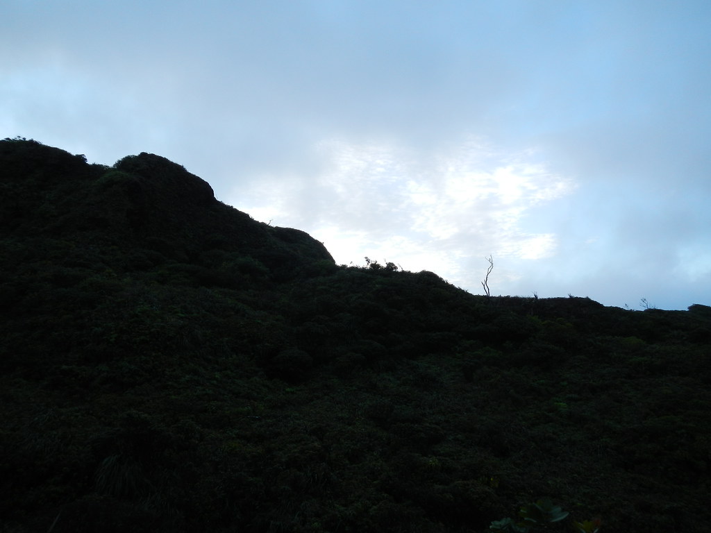
I hunted around for the continuation of the trail for a short time and finally found it continuing along the crest and set off on the last leg of the KST for the day. The trail followed the crest for a while and then headed inland away from the valleys on the windward side. The faint mist of clouds began to move in which was my biggest worry of the day as this was the section of the KST that proceeded inland from the ridge towards Castle Junction.
 |
| Uh oh... |
 |
| Arrival at the Castle Trail Junction 6:06pm |
 |
| Dusk settling in on the upper section of the Castle Trail |
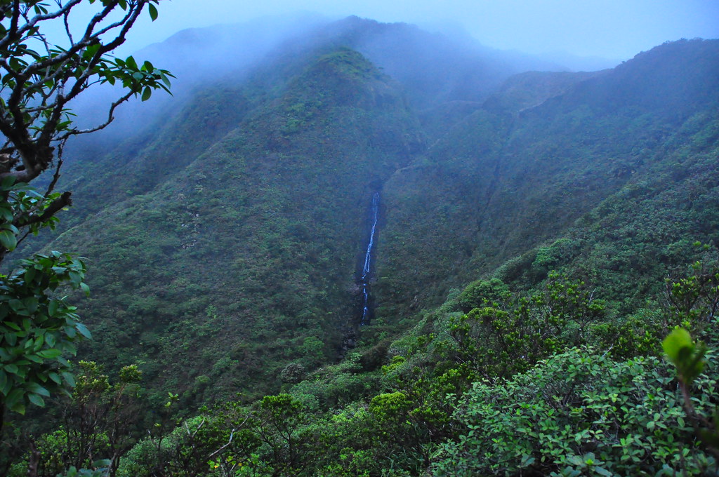
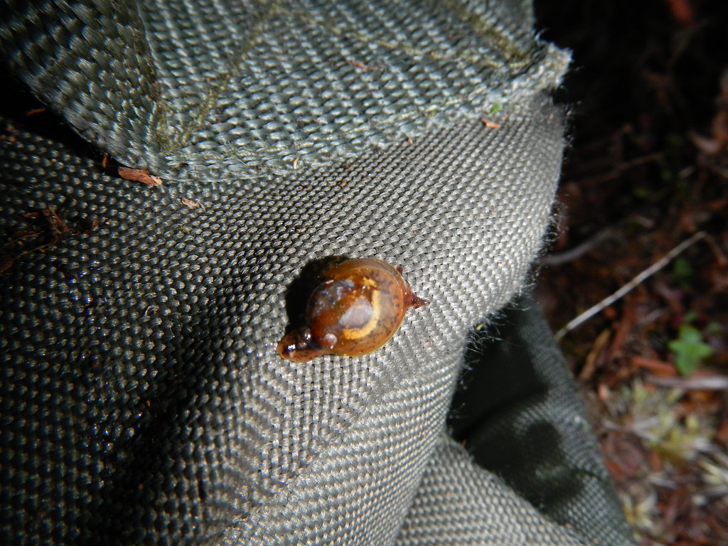
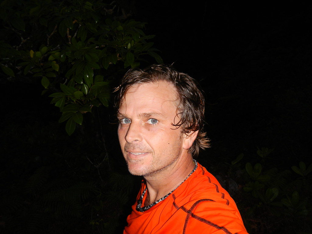
Snapping a few shots of the falls I noticed I'd picked up a hitchhiker- a snot-in-a-hat snail. I removed in gently from my pack and tried to put in on an ohia but it clung to me stubbornly. Finally I coaxed the little snail onto a leaf and shouldered my pack to continue towards Kaluanui. It had been 12 hours since I'd left the Jeep in Kahana and I was pretty tired. The somewhat vacant look I'm wearing in this picture of me below betrays my fatigue. I did a short video entry gets cut short a little with Flickr's video limit.
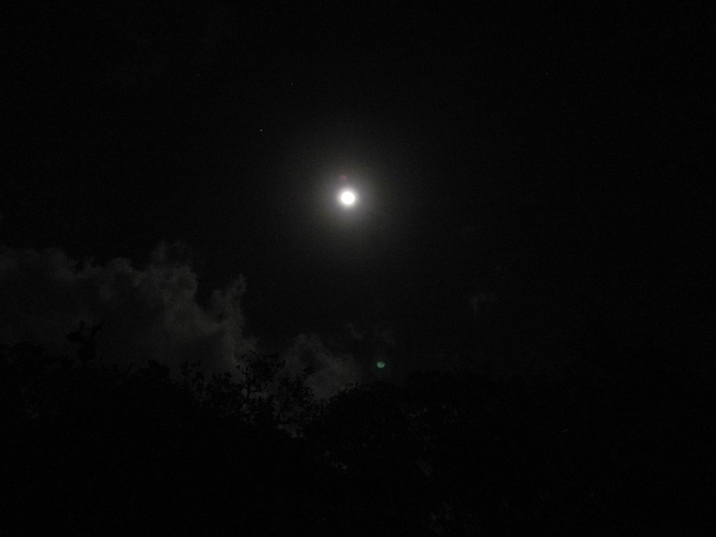 |
| Almost full moon... |
 |
| The lights of Punalu'u from "The Notch" |
Although tired and beat the trip down Castle was far more pleasant even with my toes now being jammed into the front of my boots and the occasional reminder that my heel's flesh was still being tortured by my boot. It seems like either the trail had received a bunch of traffic or a recent clearing because the pink fringe that had choked the upper section back in November had been opened back up. There were a few new blow-downs here and there but for the most part the trail was in great condition. I anxiously awaited the first switchback, then the second. Finally at exactly 9:15pm the detour section appeared out of the dark.
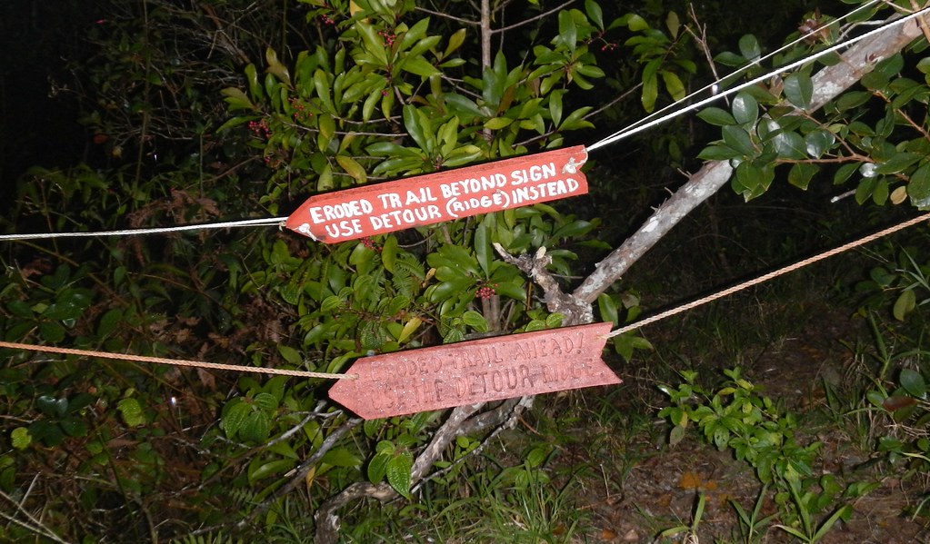 |
| The Detour Section |
Descending the spur was uneventful but wet as the showers continued. I guess the one positive effect was that they helped to remove some of the mud from my legs and boots.
I reached the valley floor and headed makai towards civilization. I neither saw nor heard anyone on the way out of the valley but passing the plantation near the end of the dirt road I smelled the scent of a pipe being smoked. Even the dogs at the homes that have always barked at me were absent in the rain as I walked towards the intersection that would take me to Kamehameha Highway. About midway up Punalu'u Valley Rd I could see the headlights of Mrs. XJ's car and a very disgruntled wife and two sleeping keiki picked me up at 11:31pm.

With the benefit of hindsight, I would have stuck with my initial planned route of Papali to Pauao but the lure of having the Castle Trail as my alternate was too tempting. My first miscalculation was that by climbing Pauao first I'd spend the entire day coasting down the KST. While that's somewhat true, I was surprised that there were still some uphill segments after gaining the summit. Normally 3 liters of water is enough for me to hike all day but again I misjudged the distances, my fitness, and the terrain. I knew Kaluanui Stream is always flowing so water would be available on the final leg when I might need it. I've done Castle twice and once was a night so I knew what to expect if I arrived late at split with Papali. Papali has some narrow sections and is ungraded so coming out after dark on it could be more dangerous- another reason to select Castle as my alternate. Of course this whole segment would have been far easier if I could have used Poamoho. Oh well, I had a good time and the scenery and experience were well worth the long day.
More pictures from this trail and others I've done can been viewed on Flickr. Aloha and mahalo for reading.