June 5, 2011
 |
| It begins! |
First off, let me apologize for layout of the post. Blogger's recent "upgrade" means I can't seem to trick it into putting pictures next to each other so from here on out it's mostly large images. Maybe I'll look at switching to a new venue... oh well, back to the reason your reading!
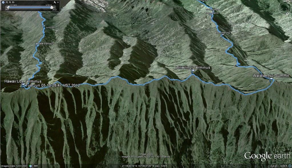
Abandoning the western Ko'olau Loa sections of the island we returned to the eastern Ko'olau Poko ridges to explore the not often hiked Waialae Nui Ridge which was closed over 10 years ago due to access being shut off by a property owner. According to a hunter we met down on Kilauea Avenue after our trek, the property owner's cat was killed and to avoid future problems they simply walled off the access they'd generously been providing to the ridge. If the story is true, I can't say I blame them but what a shame to loose the ability to do this great trail.
We started our morning by positioning cars at the end of Kilauea Ave where we planned to finish, a bail out car at an undisclosed location in case we ran late, and at our start point in the exclusive Hawaii Loa neighborhood. I had planned out the trip to start later than normal with a meet at 8:00am at Kahala Mall but due to a series of delays we didn't actually start up Hawaii Loa until about 10:30am putting us about 2 hours behind. I fretted about the weather and the late start and almost called off the trip because I had no idea what kind of condition Waialae Nui was in since the only information I could find on it was in a 2001 writeup by local trail legend Dayle Turner.
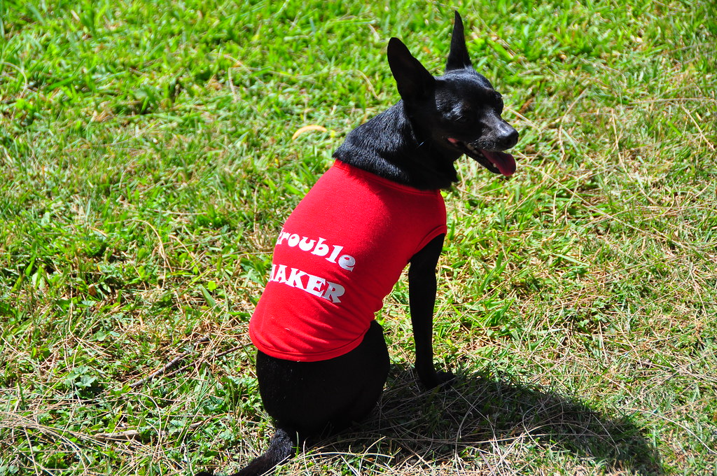 |
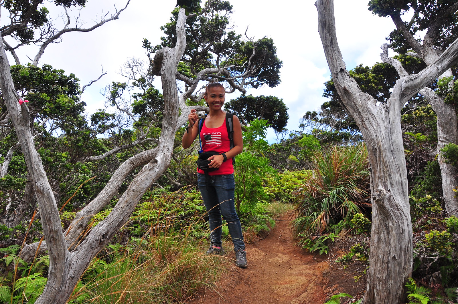
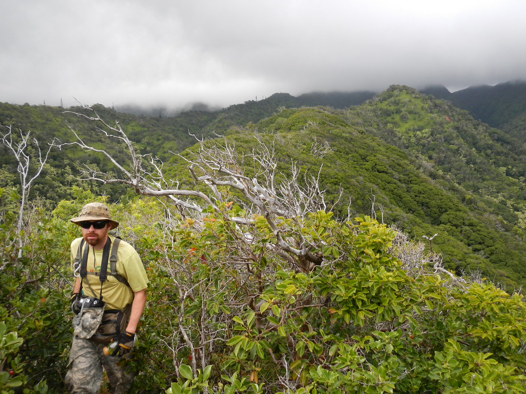
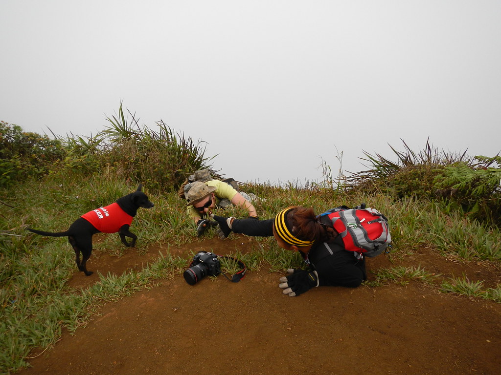
| Marley's new hiking shirt. |
My regular hiking partner II and I had
done Hawaii Loa Ridge Trail back on March 1, 2011 so I was familiar with the procedure of checking in with the guard at Hawaii Loa and presenting our Hawaii ID's as you must be a Hawaii resident in order to access the trail head. We wound our way up to the beautiful park near the water tank at the top of the development and parked the car. We took a couple pictures and readied our gear before setting off on the trail.
 |
| Open ridge at the beginning of Hawaii Loa |
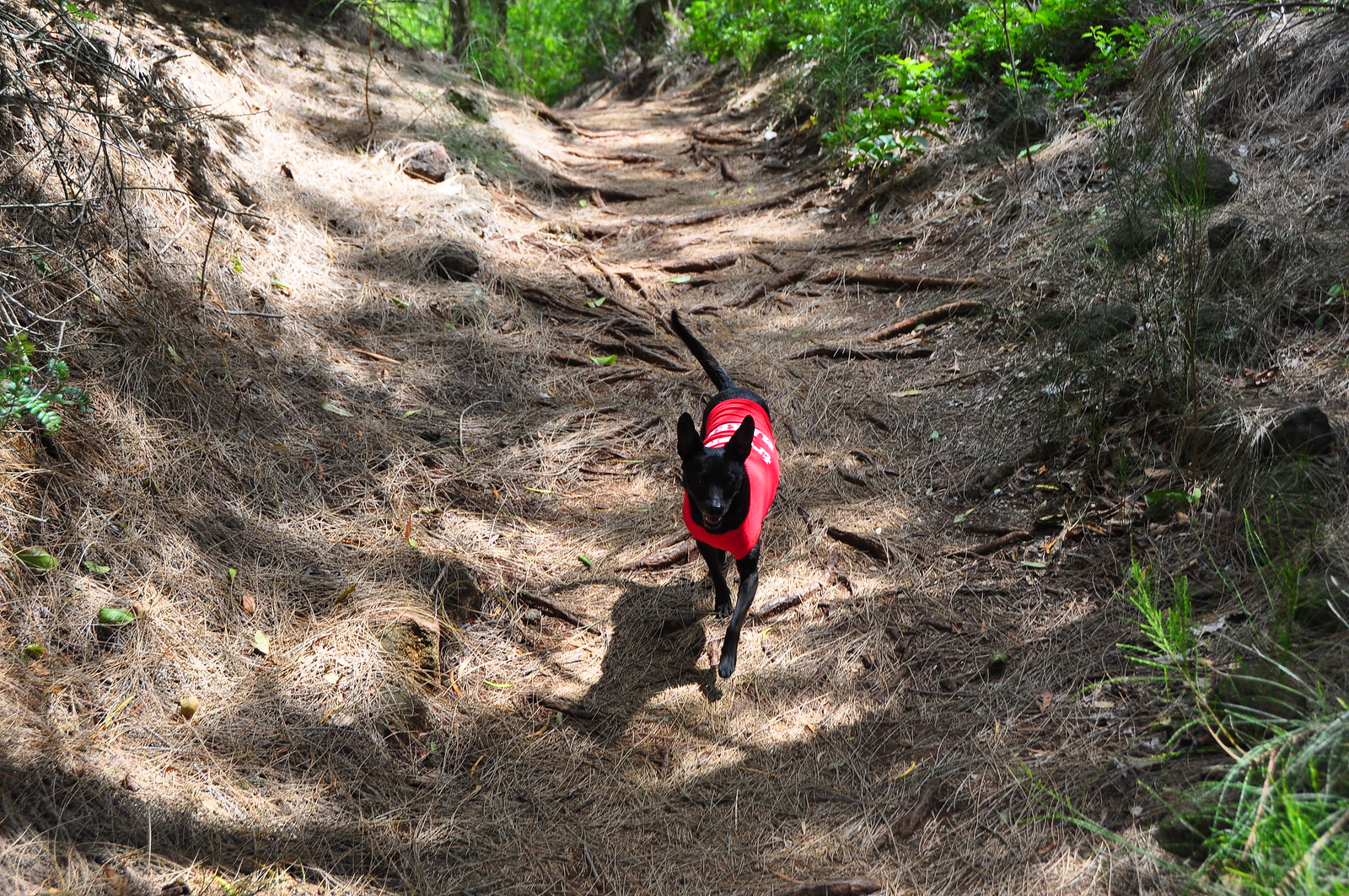 |
| Marley trotting effortlessly along the trail |
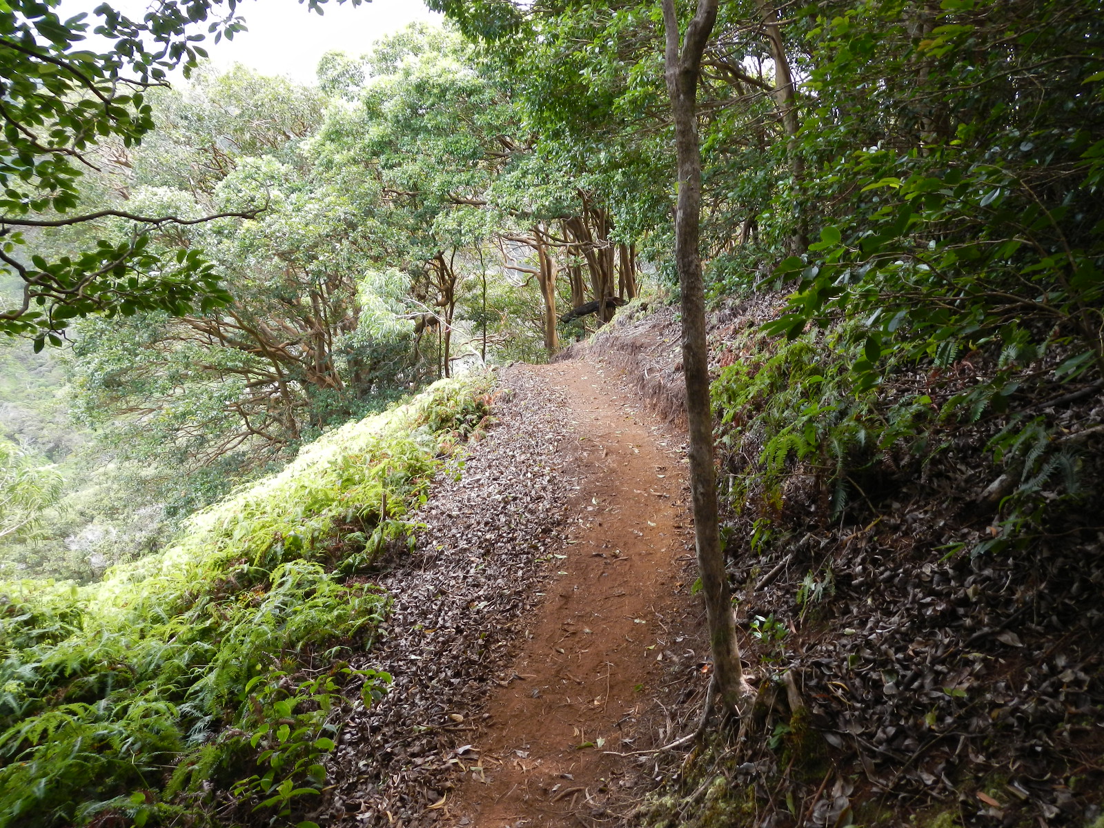
The initial segments of Hawaii Loa were as I remembered them- a dry
dusty trail lined with a mix of alien and endemic species. The a'ali'i
wasn't blooming but the akoko leaves were shades of red and the uhi
had both flowers and fruit present. Pukiawe was mixed in with the
strawberry guava too.
 |
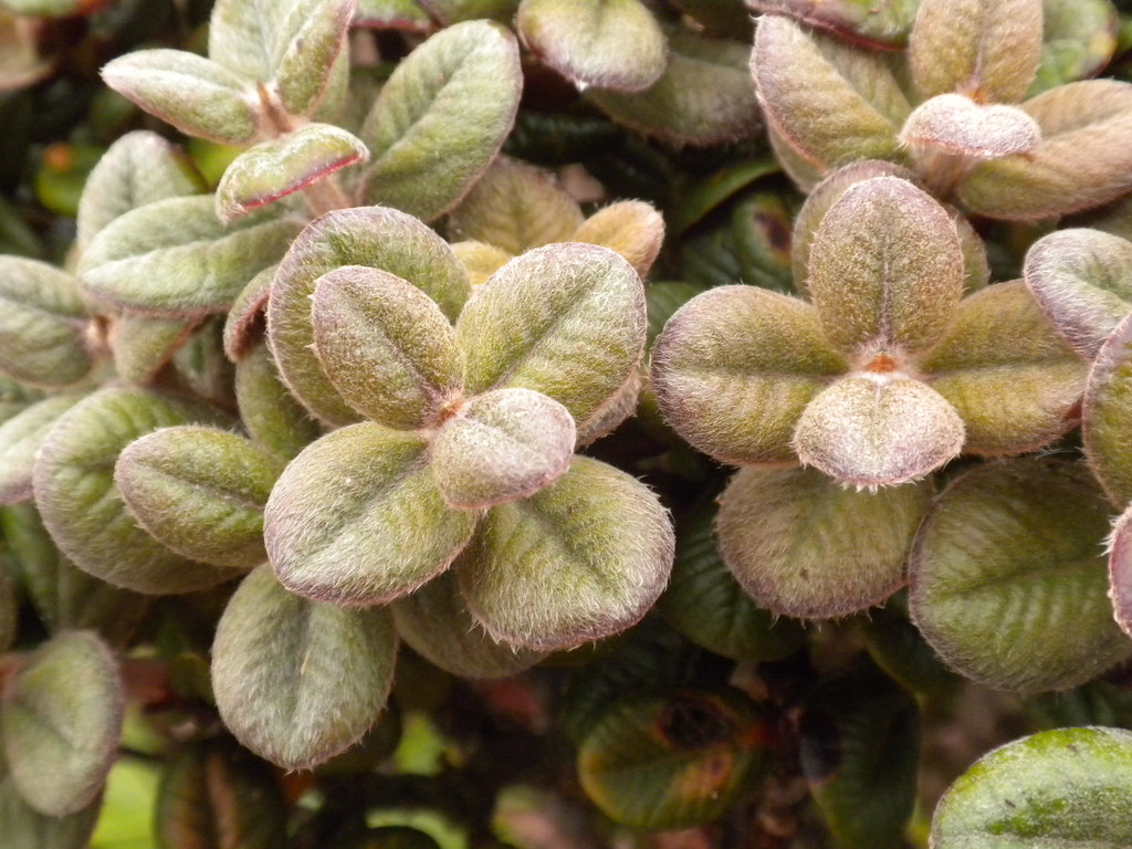
| Red Akoko leaves |
Leaving the open ridge we moved into the taller strawberry guava and started the series of ups and downs that would eventually lead us to the last big climb to the summit.
 |
| Guava zone. Photo by Agnes Bryant |
Near the end of this segment I noticed that there has been a ton of work done to the trail. A new contour has been cut into the last descent and a bunch of stairs have been put in. A huge improvement over the old trail which is still visible along the crest of the ridge running under that big tree on the left side of the shot with the stairs.
 |
| First look at the new contour trail |
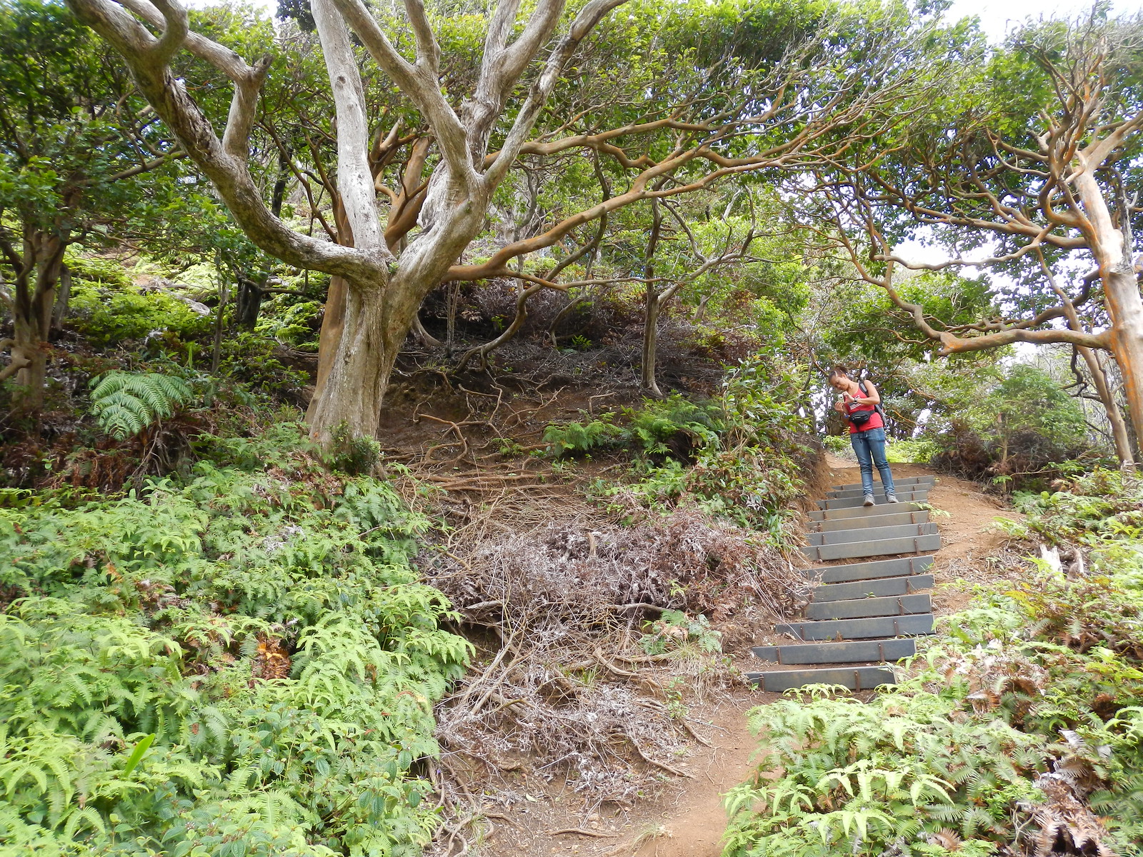 |
| Agnes on the new trail. The old trail is under the large tree on the left, about mid frame. |
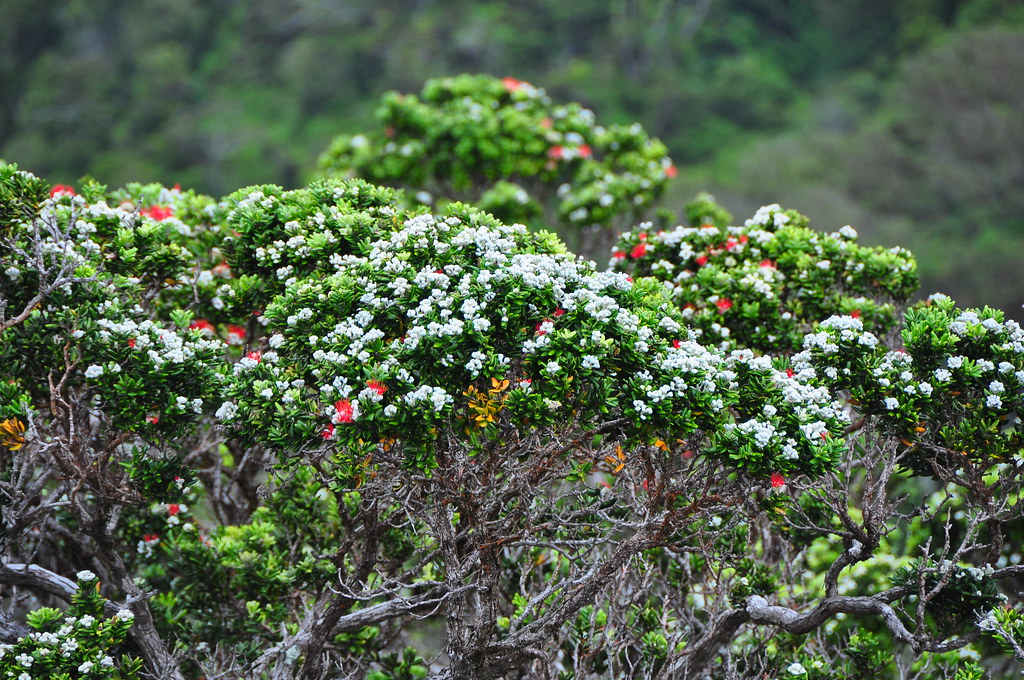
Just beyond the rebuilt trail is the shallow dip were we found some
beautiful Ohia with fuzzy white Lehua buds preparing to open. No doubt
this is one of the most beautiful trees in the islands when they put on
these dazzling displays.
 |
| Getting ready to pop! |
Even without the blooms the gnarled trunks and limbs of Ohia are facinating to me.
|
|
| Agnes walking through the small Ohia "forest" section on Hawaii Loa Trail |
 |
| The fuzzy white hairs really make the blooms stand out. |
We paused briefly at the base of the final long climb and then began the long climb to the summit. I had to stop more than a few times to catch my breath but there wasn't much to see because we'd entered the clouds.
 |
| Not a fan of going uphill. Photo by Agnes Bryant |
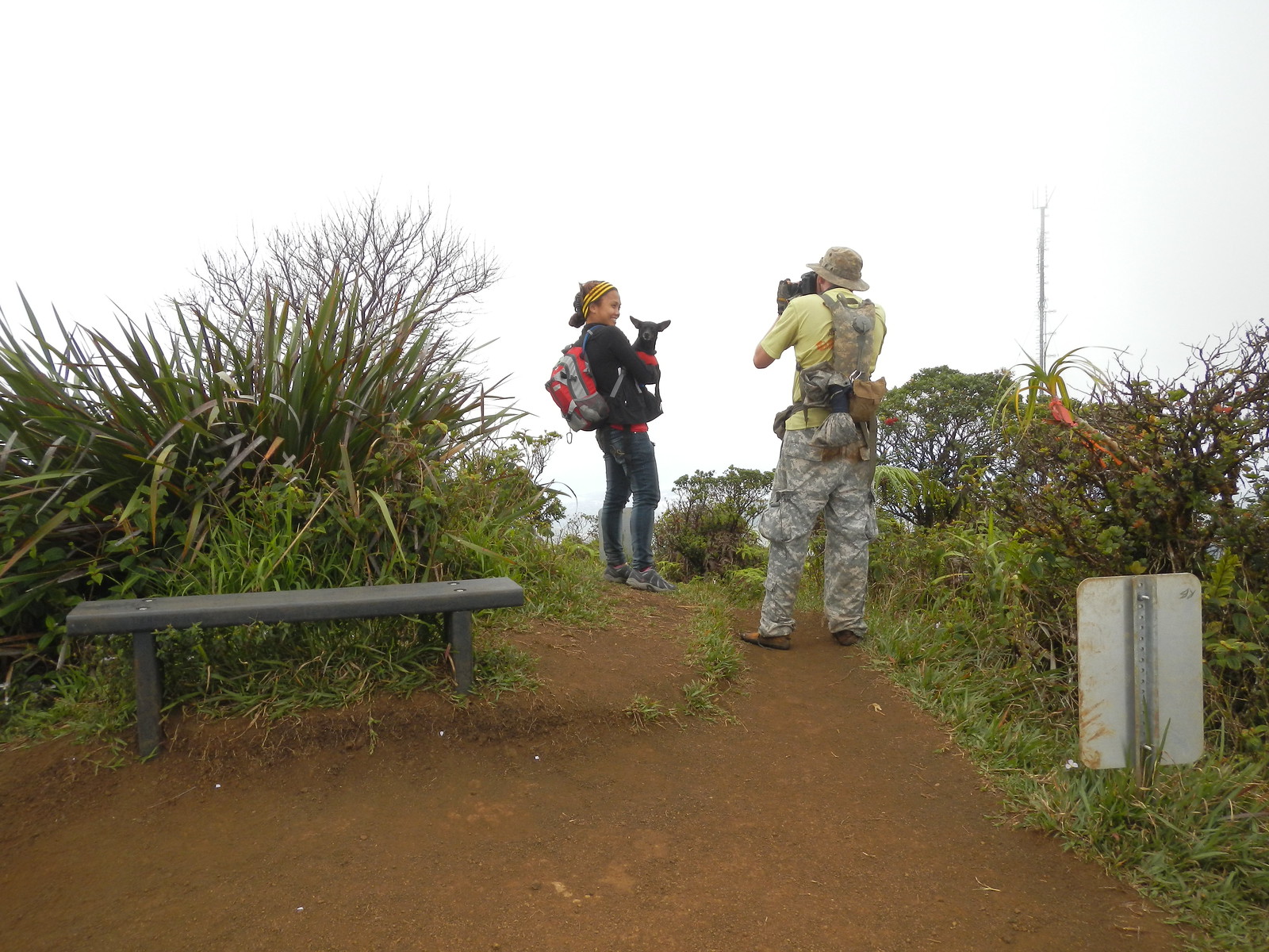
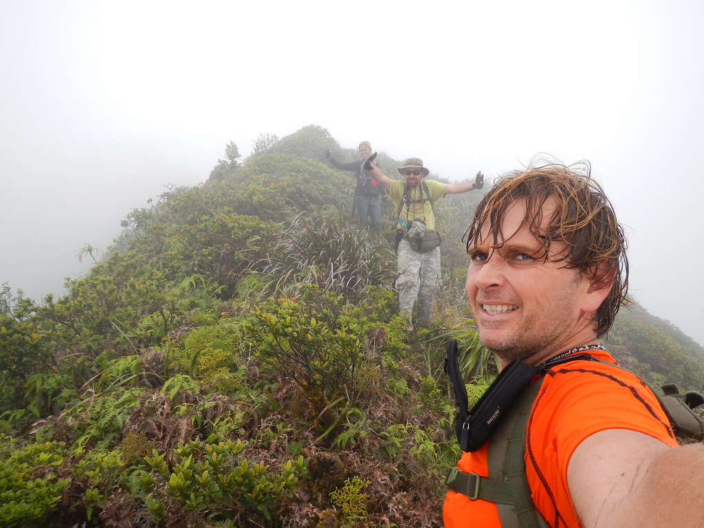
Huffing and puffing we arrived to a whited out summit. With no view, I fired up my Flickr account on my RAZR and pretended to enjoy the scenery.
|
|
| Technology allows us to see the view despite the clouds! |
After some snacks and a few pictures we departed the summit along the KSRT and headed for Wiliwilinui.
 |
| Hawaii Loa Ridge Terminus - Photo by Agnes Bryant |
The most shocking thing about the summit trail was it's condition. It's wide open now instead of having to push though the vegetation. This area must be seeing a ton of traffic. With the trail being in such great shape we made good time over the series small peaks to Wiliwilinui.
Along the way we watched a Makani Kai chopper land at the radio tower.
At Wiliwilinui, we paused to check out the new bench and snap a couple shots before departing across the saddle and making the climb up past the power lines to the summit of Waialaen Nui Ridge just short of Pu'u Lanipo.

 |
| The new bench! |
 |
| Group photo at Wiliwili Nui |
 |
| More fooling around at Wiliwilinui |
Again we found the trail to be in great condition and the steps cut by
HECO's contractors back when they were stringing new lines last year
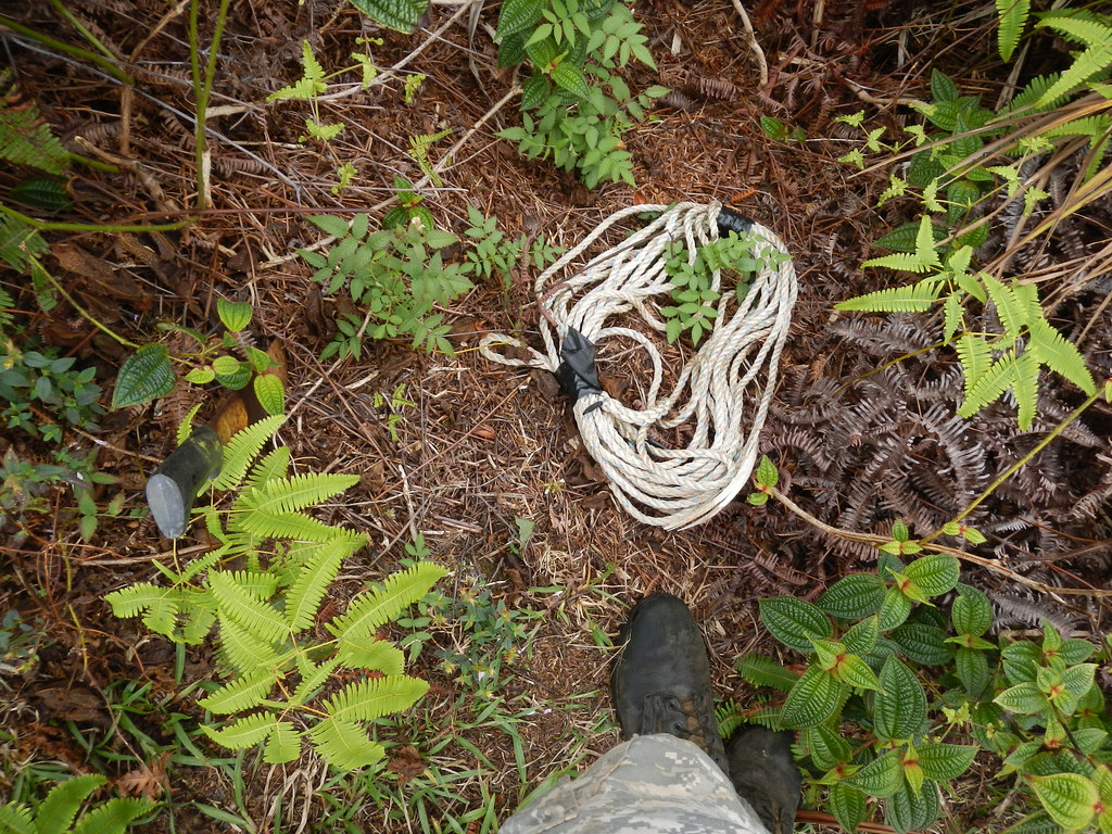
were still in perfect shape. Just below Wiliwilinui we happened upon a
seemingly abandoned machete and some rope. Further up tucked away
between some cut up utility poles lay to derelict weed-eaters and at the
helo pad a gas can too.
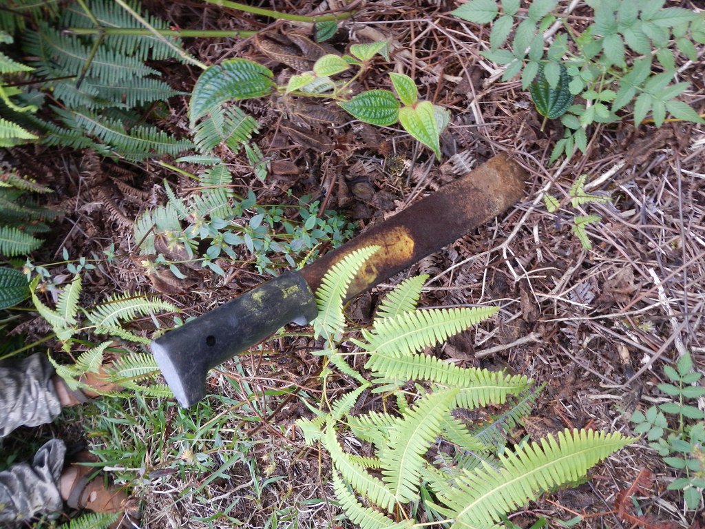 |
| Abandoned gear |
I'd forgotten just how steep some of the drops along the summit are. Reasonable care is all that's required to avoid taking the plunge into Waimanalo though.
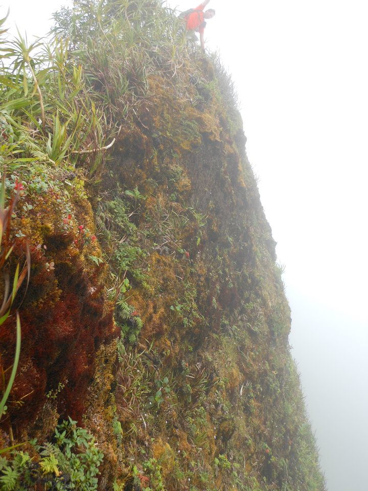 |
| Photo by Agnes Bryant |
 |
| Agnes over the abyss |
 |
| Express trail to Waimanalo |
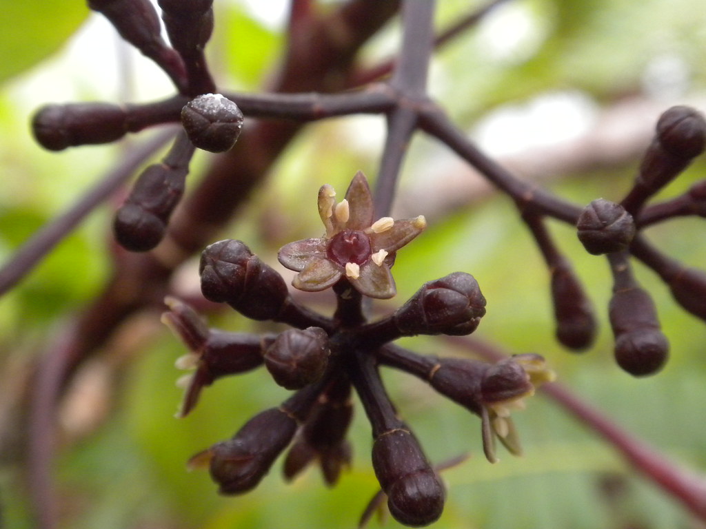
In this section we passed a really cool looking Lehua Papa with a purplish tinge on the hairs of the leaves as well as a Debautia species in bloom.
 |
| Lehua papa with purple tint |
 |
| Coprosma flowering |
Just a little further down the trail this Olapalapa was starting to bloom.
 |
| Olapalapa Flowers |
Descending the saddle making the steep climb to the summit we arrived at the summit of Waialae Nui Ridge.
 |
| Mike climbing somewhere on the Ko'olau Summit. |
 |
| Agnes is still all smiles despite the climb and lack of scenery |
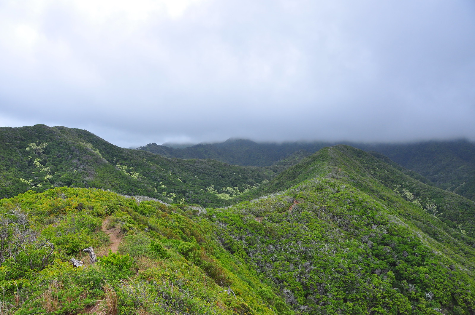
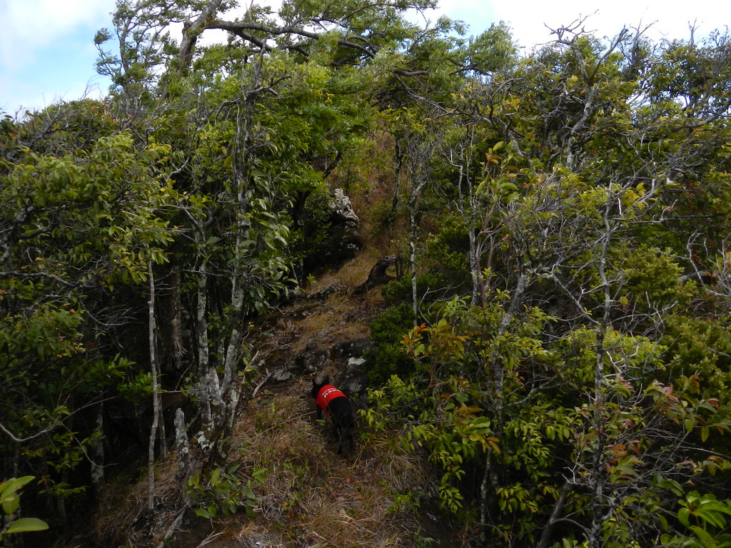
At the summit we hunted around for the old ridge trail and after a few minutes found it in overgrown condition choked with clidemia. I envisioned six foot walls of uluhe that would take hours to break though or worse that we'd descend down from the summit and have to turn back as the daylight faded and bail out via Wiliwilinui.
 |
| Taking the plunge down Waialae Nui Ridge. |
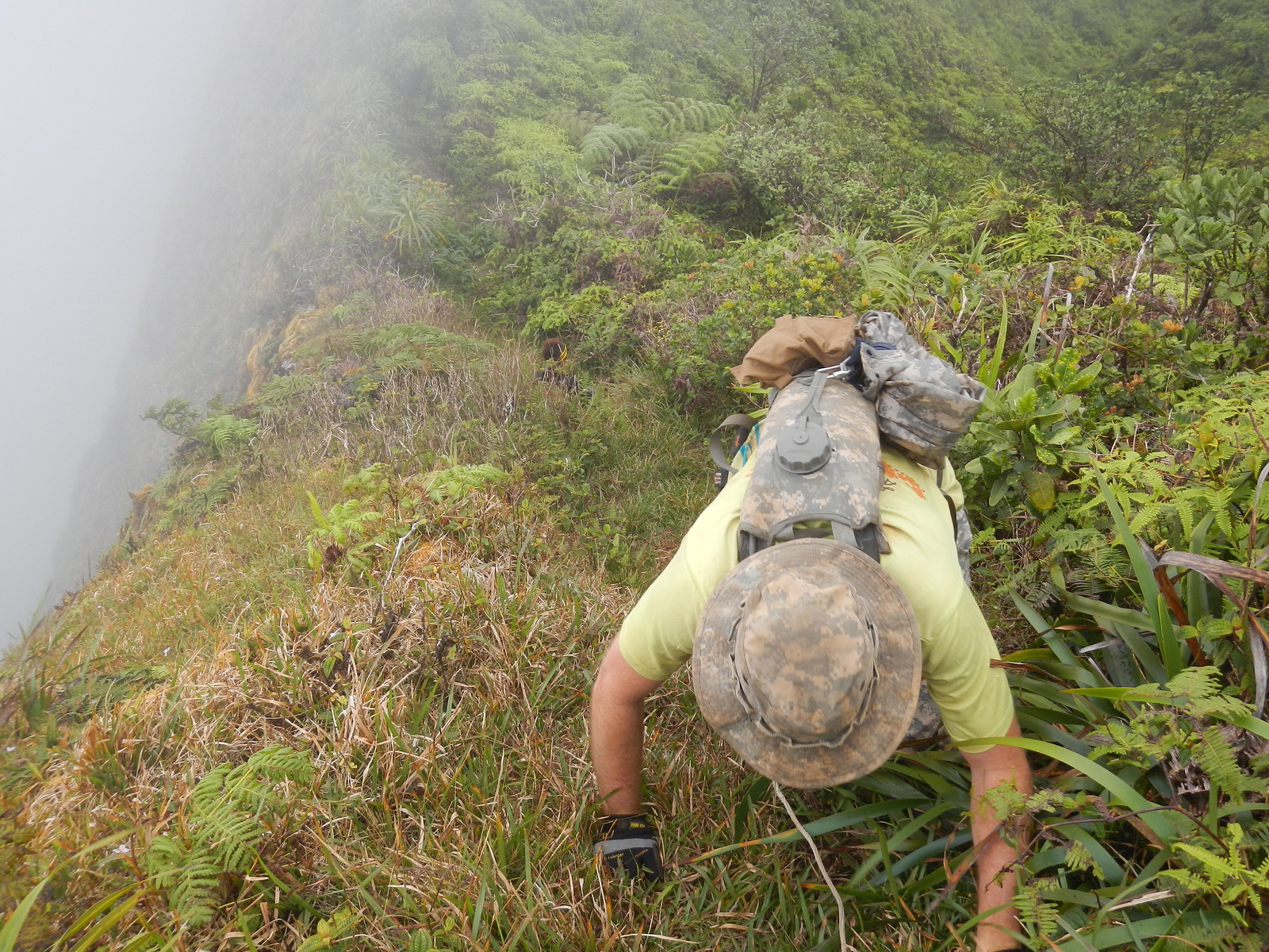
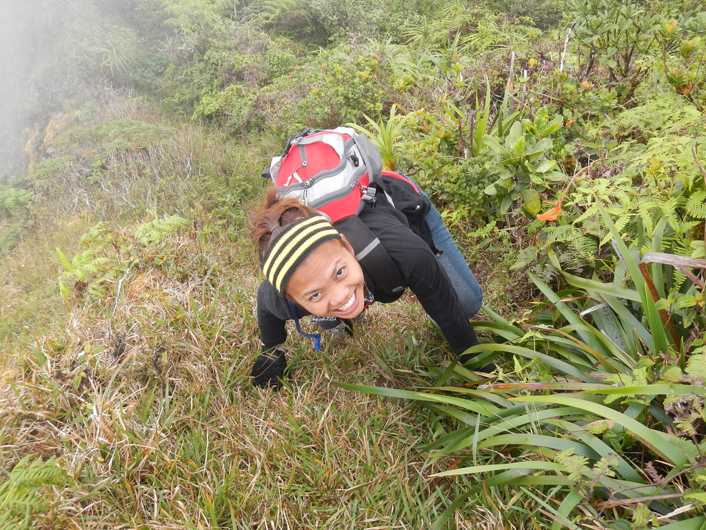
Cautiously we proceeded down the ridge noting that it seemed like someone had been through here a very short time ago judging by the bent grass and occasional snapped branches. Because the clouds obscured our view I fired up both Google Earth and Back Country Navigator to check out the ridge one last time before we committed to heading down. There's a split in the ridge just a short way down and I wanted to be sure we didn't take the wrong fork. We plunged down the ridge into the unknown hoping that we'd be able to avoid coming back up this steep part if the trail became impassible.
 |
| The capture of Bob the Jacksons Chameleon |
Thankfully we were able to follow the swath through areas that would have slowed us down considerably. The trail moved from one side of the crest of the ridge to the other taking the path of least resistance but occasionally when it contoured the slippery mud and uluhe caused a couple falls. Looking over at Mau'umae ridge next to us I couldn't help but feel lucky that Waialae Nui didn't have nearly as many ups and downs. As we finished the descent from the summit to where the ridge leveled off there was a nice section of ohia trees and occasional koa. At the very bottom of the decent from the summit was a small clearing I labeled "Koa Clearing" in Back Country Navigator.
 |
| "Koa Clearing" at the base of the big descent from the summit |
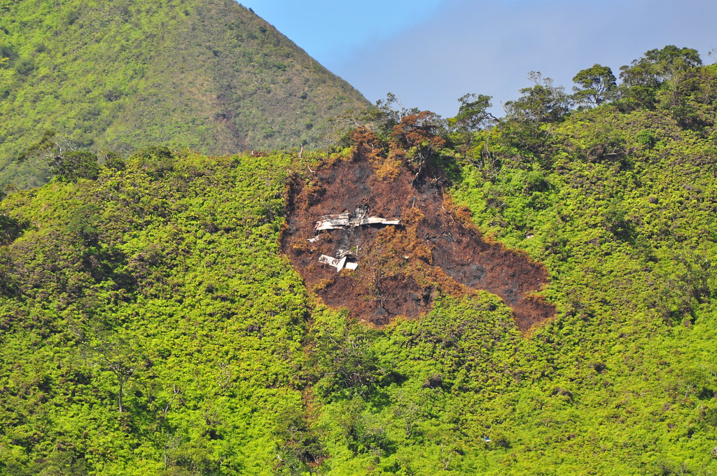
We were now near the area where Nicholas Palumbo and his son died in
a plane crash on January 10, 2010 on the adjacent Mau'umae Ridge.
Their Piper Cherokee PA 32-300 was en route from Lanai to Honolulu when
Dr. Palumbo had become disoriented and misjudged his position. The
plane had slammed into the ridge after he'd reported his position near
Punchbowl alerting the controller that he was in trouble. Although instructed to turn south away from the mountains they'd slammed into the ridge.
Such a tragedy. I can't help but think of wreckage every time I'm near this area in the Ko'olaus.
Agnes and Mike spotted a Jackson's Chameleon near the base of the descent. They're suspected of eating native snails and don't really belong here so Mike elected to take it with us. Judging from it's three horns I'm guessing it's a male. It rode on Mike's hat, shoulder, and pack all the way out and after a while it seemed to be pretty comfortable on it's new host enjoying the ride and looking pretty relaxed except it did appear pretty nervous when Mike posed like he was going to jump into the valley.
|
| "Bob" just after caputure |
From here the uluhe varied from shoulder height to below the knees but the swath helped make forward progress far faster then it would have been without it.
 |
| This swath made things more manageable. |
The ridge bent Ewa a bit and rolled a little but very gently before we arrived a very small valley with some Hapu'u ferns. The member of our group that suffered most was Marley. She's a tough little pup that can scamper up the steepest of trails almost effortlessly but the uluhe was like a huge forest for her and she was really having a tough time with it. Agnes felt so bad she picked her up and carried her to give her a needed rest.
 |
| Marley working her way through the ferns |
 |
| Angnes and Marley in the small depression with the Hapu'u Ferns |
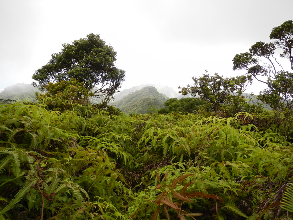
After the Hapu'u ferns the ridge climbed once more but the uluhe was more manageable and we picked up some speed which was good news for us because the sun was getting lower in the western sky. I labeled it Uluhe Meadow on Back Country Navigator.
 |
| The sparsely forested area, "Uluhe Meadows" |
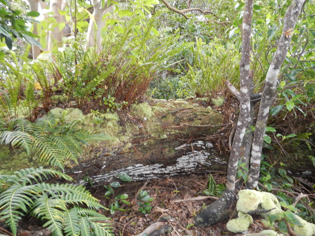
We crossed over a large log covered with ferns during the last section of native forest.
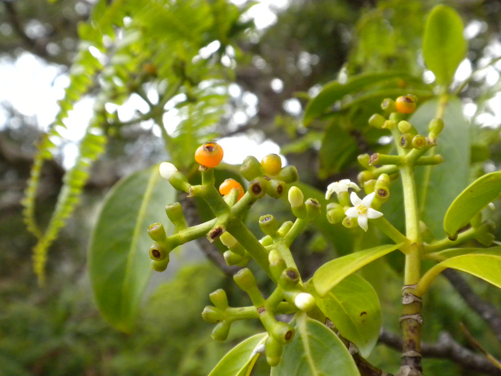
Here we came across some Kopiko flowering and fruiting.
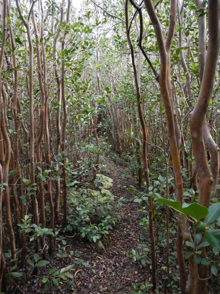
This last section went quickly and we entered the strawberry guava forest where the trail became uluhe free and our progress really improved. I breathed a sign of relief knowing that we'd have smooth sailing from here. We spotted the remains of a campfire (not a good idea!) and an old ribbon.
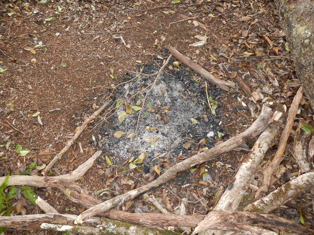 |
| Never a good idea in the mountains here... |
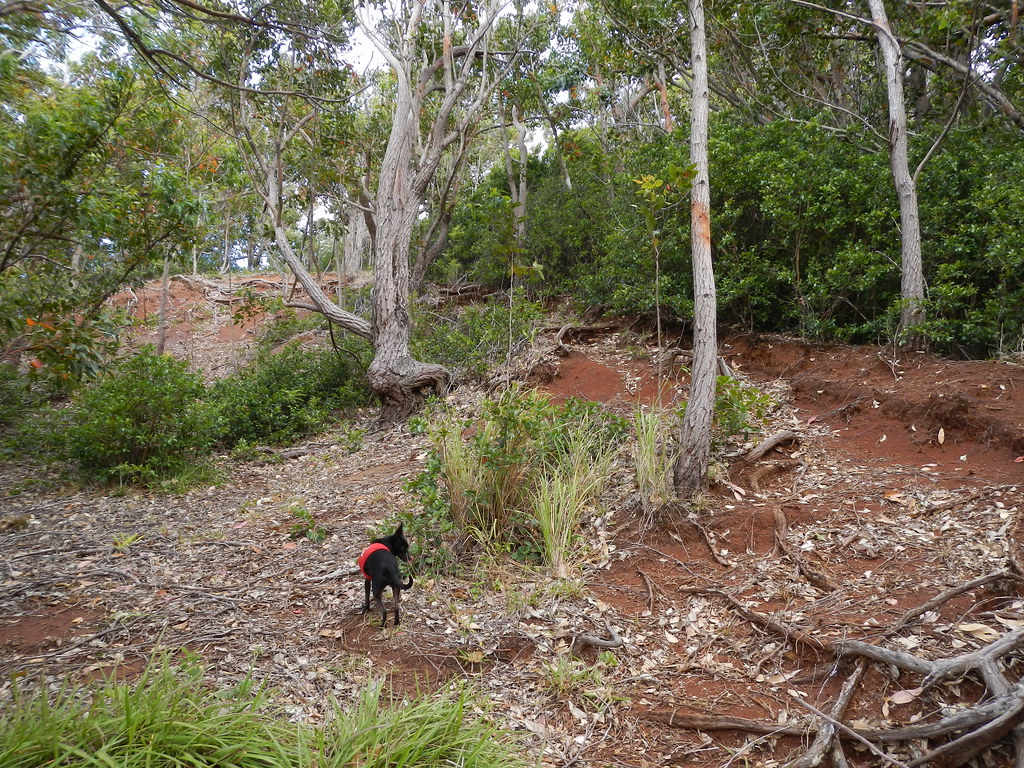
The native plants were almost totally gone now as we entered the lower sections of the ridge.
However, I spotted a few lama trees in the sea of introduced vegetation.
 |
| Marley cruising through the mixed forest. |
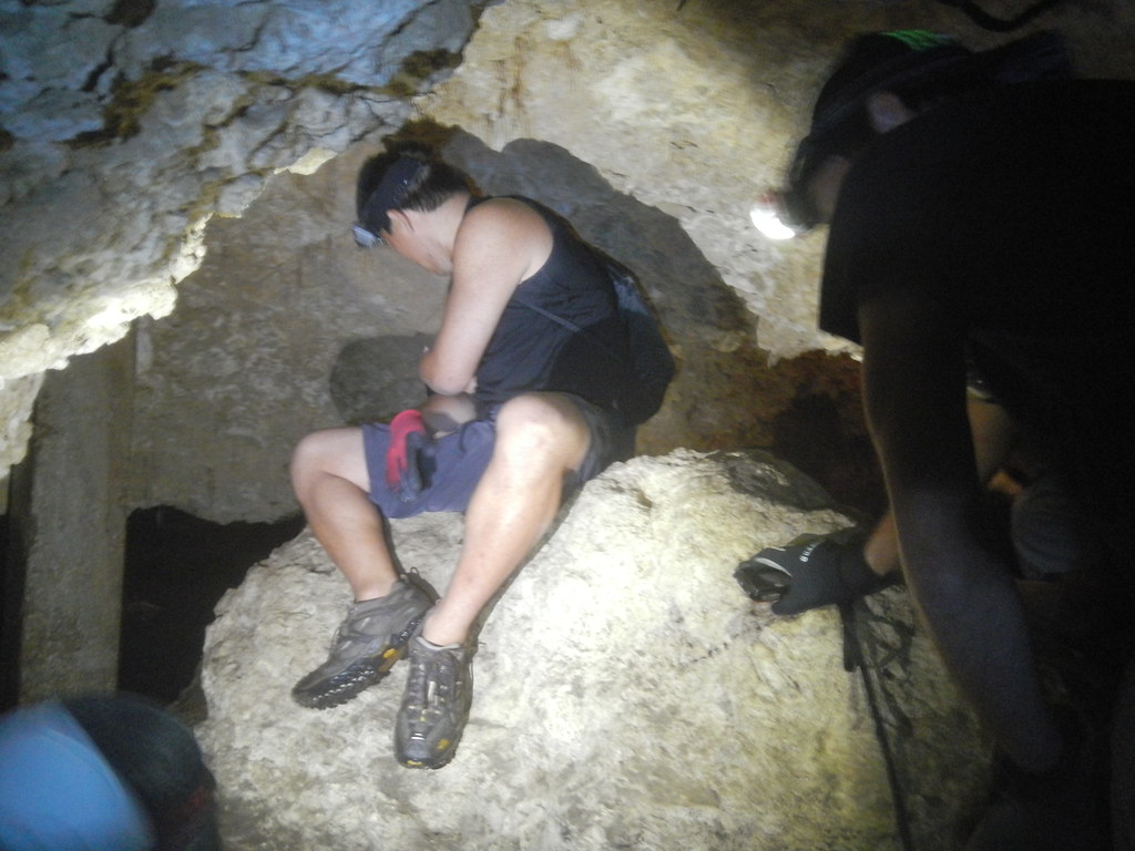
As we broke out of the strawberry guava forest onto the more open ridge we spotted a couple interesting rock formations. The first one reminded me of the Easter Island Mo'ai and the other... well, you can draw your own conclusions.
 |
| Rock face |
Of course we had to climb on top of it and take a few pictures...
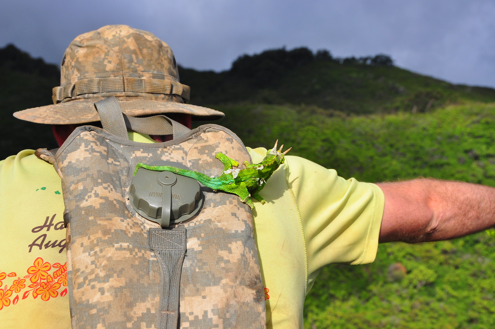 |
| Bob wondering why Mike is going to jump off the rock into the valley below |

The other formation was along a narrower section. Again, draw your own conclusions.
We also got a look at that horrendous dip on neighboring Mau'uame Ridge. Man, that thing is a beast!
 |
| Mau'umae Dip... I'm tired just looking at it. |
Nearing the end of the ridge we took a short break in this grassy meadow. GPS point: Grassy Knoll.
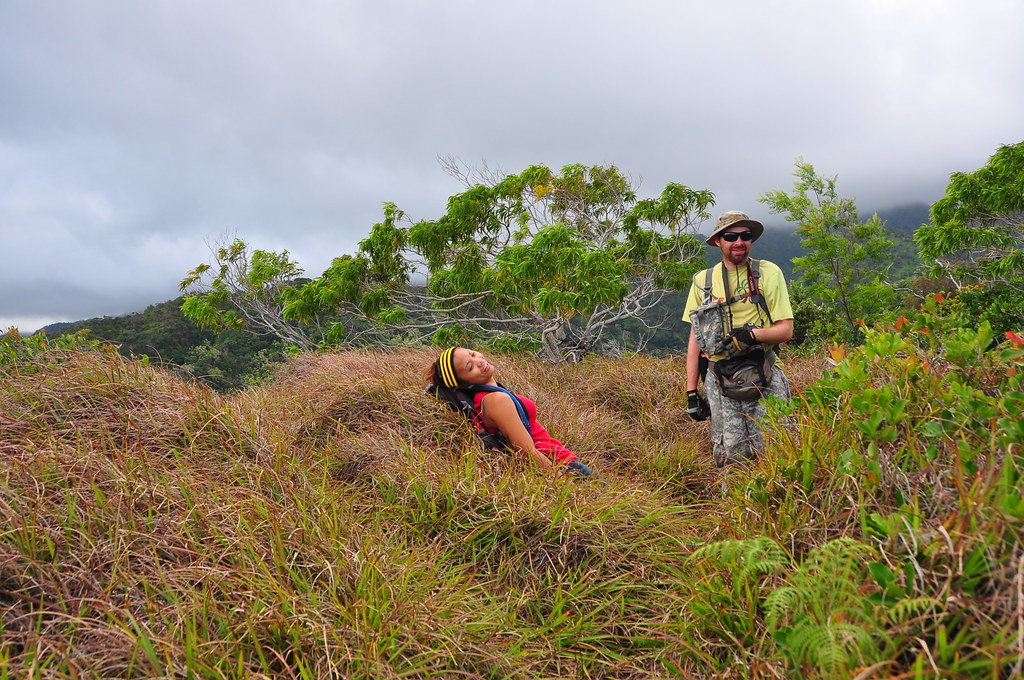 |
| Agnes has had enough. |
A short time later we arrived at the forest near the huge mansion at the end of Aha Aina Drive where the old trail head had been.
 |
| The forest near the old trail head. |
 |
| Marley leading the way to the water tank which is just over the crest of that small hill. |
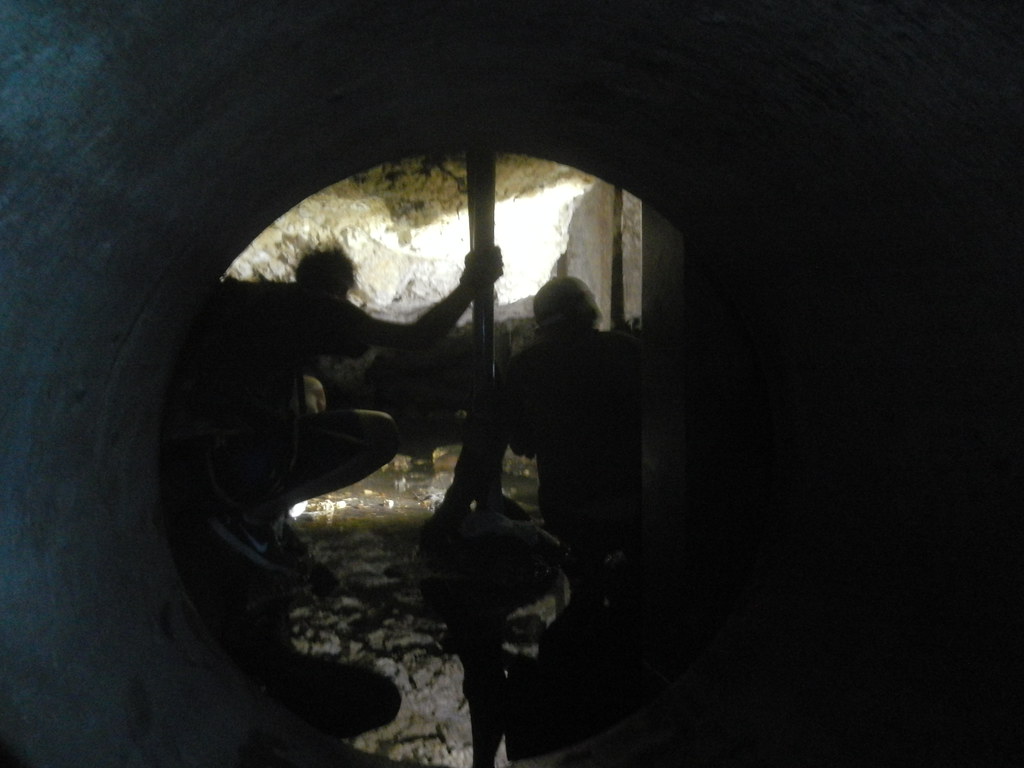
Originally I'd planned on avoiding any trespassing problems here by using the Honolulu Roller Coaster Trail to get down into the valley and come out on Kilauea Ave where we'd left the Jeep.
 |
| Plotting our escape. Photo by Agnes Bryant |
We arrived at the water tank and scouted around for our exit route for a few minutes while admiring the huge property. It was getting late and we needed to get Mike's car out of Hawaii Loa before sunset so we selected the bail out route to Agnes' car which was staged at another location. I'm not saying where or how we got off the trail or where that bail out is because I don't want to encourage anyone else to take that route.
We departed the bail out route and headed back to Kilauea Ave to retrieve the Jeep. There was a hunter preparing to head into the valley so we asked him about the trail up to the ridge and he gave us a description of the route to it from the valley below. If you follow in our footsteps this is the route to take to avoid any legal problems: The the trail in the valley crisscrosses the stream for about a half hour and is usually dry. As you reach a pool where there is always water look on the right side of the stream for a long line of ribbons heading straight up the ridge. They'll lead to the area near the water tank at the top where it will join Waialae Nui Ridge. Perhaps there's detailed description on HTMC's site or you can ask a veteran of the Honolulu Roller Coaster for more information.

I really enjoy new stuff and while Hawaii Loa is nice and the KSRT sections of the Ko'olau Poko are always a pleasure the real fun on this hike was doing something a little less traveled. Generally, Waialae Nui is a like it's neighbor Wiliwilinui but without the road section. More pictures from
this trail and
others I've done are available on
Flickr. Aloha and mahalo for reading!