Wednesday, December 28, 2011

Awaawaloa (Mt. Olympus) via Kolowalu

December 28, 2011

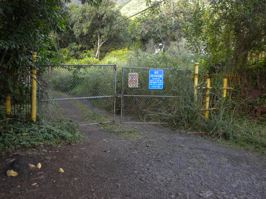
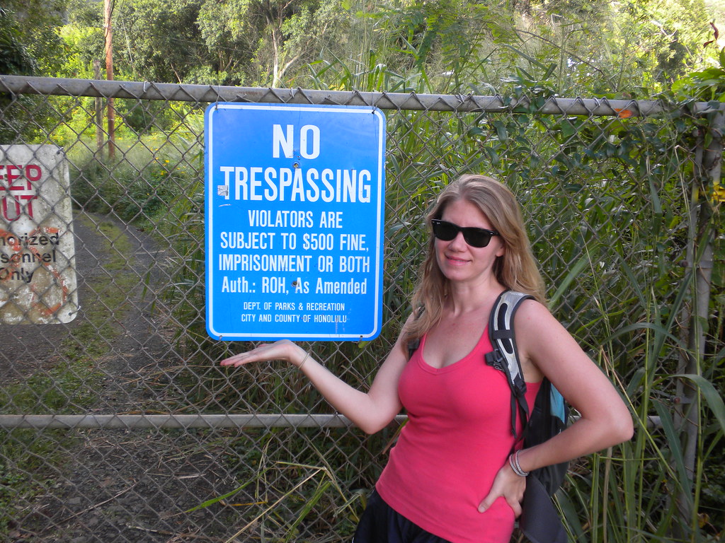
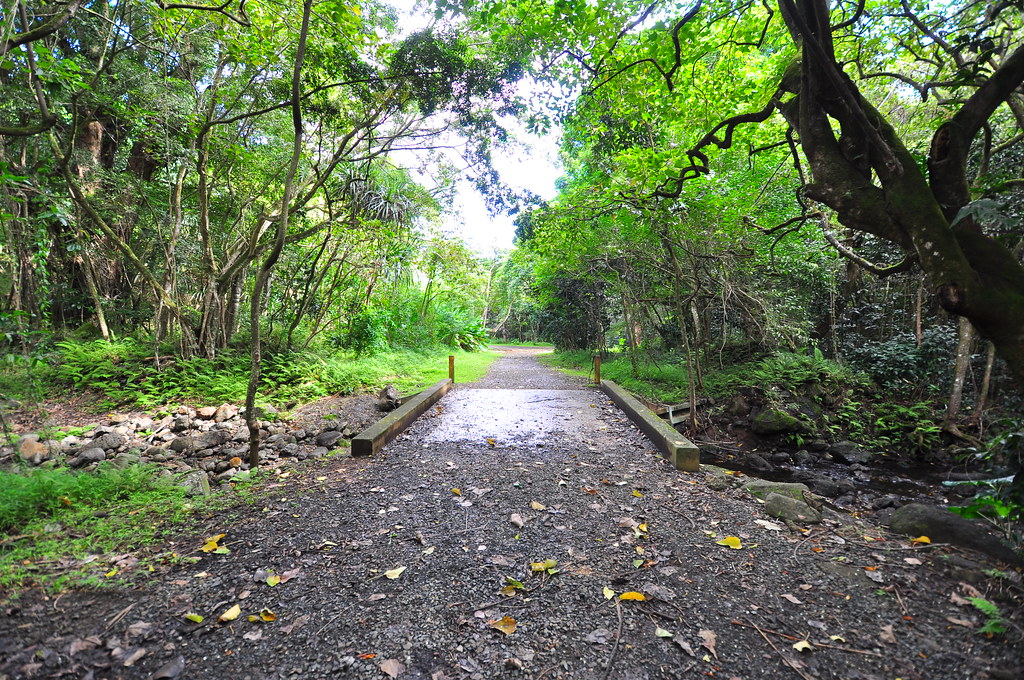
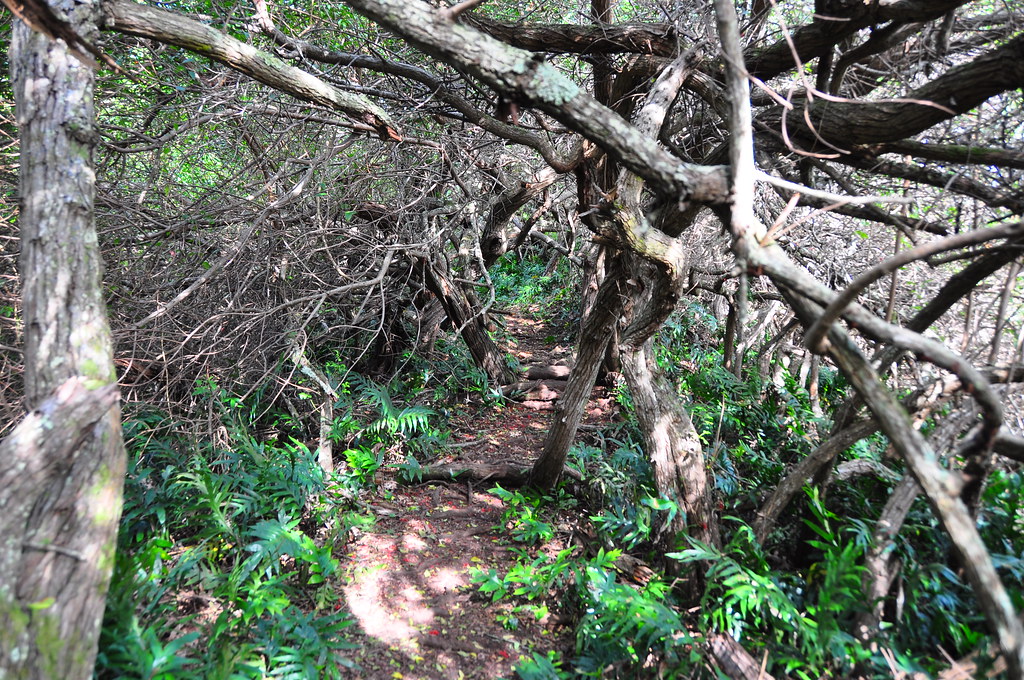
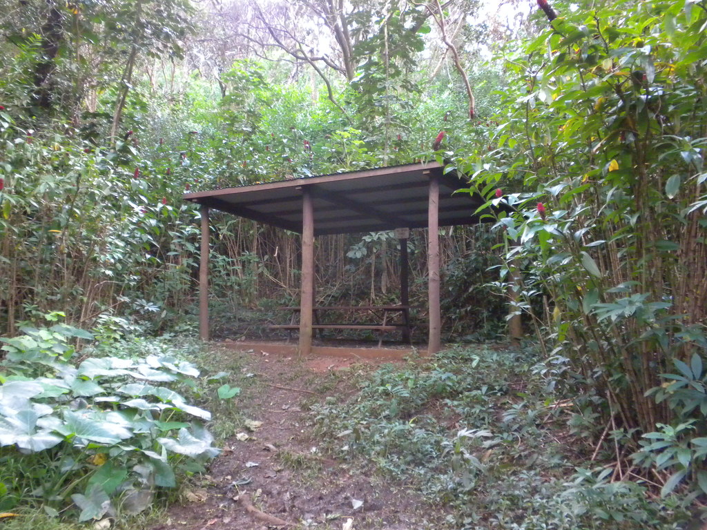
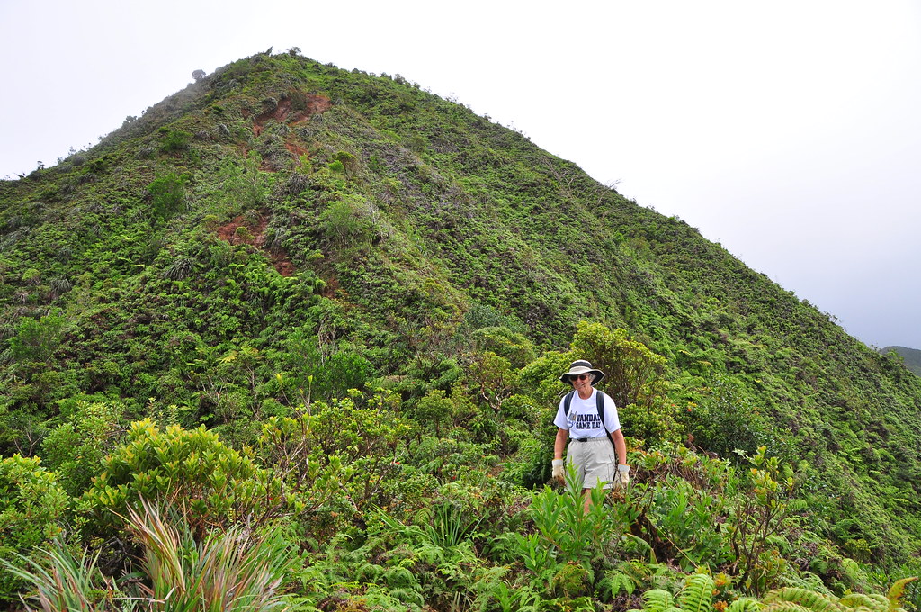
My Mom accompanied me on what would be the last hike of 2011.  She'd asked to do an eastern Ko'olau ridge trail and her choice was Awaawaloa via Kolowalu which she and my dad had done a few times over the years.  I'd seen the signs for Kolowalu at the junction with Lower Wa'ahila Ridge but hadn't heard or read anything about it.  As we left Kailua and headed over the Pali the weather looked a little iffy but after debating about changing trails we elected to stick with our original plan.  We arrived at the Kolowalu Trail parking near Alani St in Manoa.  We continued up a short paved lane which became a dirt road into an introduced forest.  Wandering down the road a way we arrived at the first junction where Pu'u Pia Trail starts.  There's a shelter there with a picnic bench.


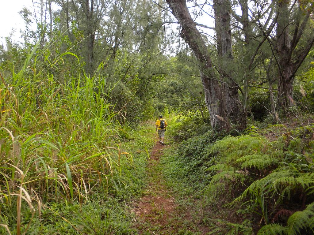
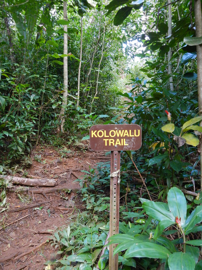
Taking the well marked right fork we continued up the Kolowalu Trail.  The trail contours along the foot of the ridge before turning up a valley.  As I recall it's mostly uphill but not strenuously so.  At a point approximately midway up the valley the trail then contours again towards the ridge where the trail crests and turns abruptly to follow the ridge up to the junction with Wa'ahila.    Looking at the topographic maps it appears that the old trail used to run from Woodlawn Terrace Place down in Manoa up to this point.  Indead, the earth looked like it had been pounded down over the years before the new Kolowalu Trail had been forged.  The climb from here up to Wa'ahila was steady and strenuous with just a short reprieve at the junction with the Lower Wa'ahila Trail.


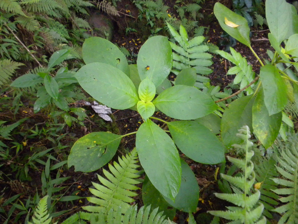
We took a short  break to enjoy the view and catch our breath.  Looking out over the sea of strawberry guava I was shocked and pleased to spot an endemic Koki'o ke'oke'o, Hibiscus arnottianus, sporting a purple variegation in the leaves. 


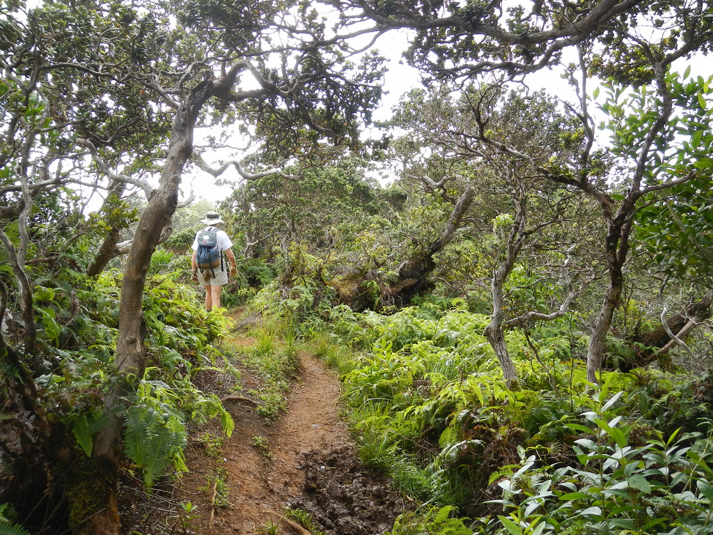
Continuing up the trail we made our way past the overlooks down into Manoa valley and paused at each to enjoy the views.


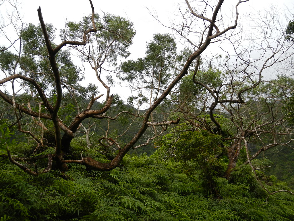
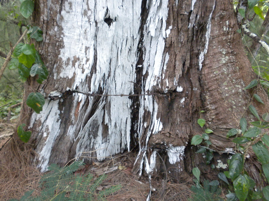
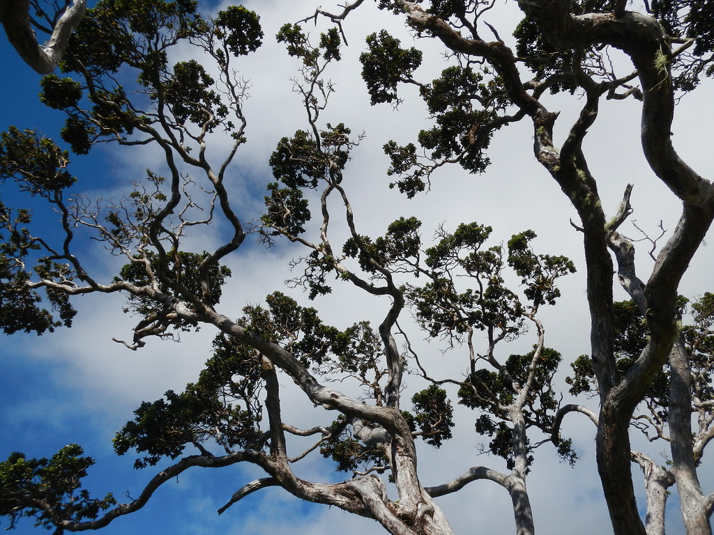
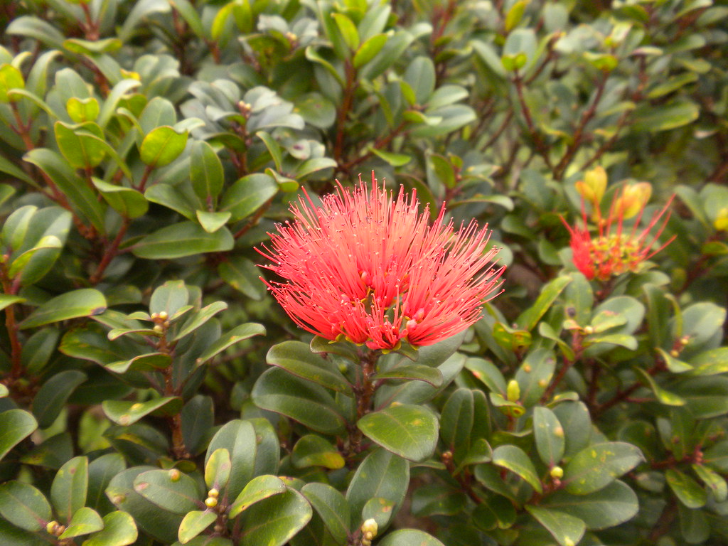
One of the things I really like about this trail are the large ohia along the way.  While common on the neighbor islands all the large Ohia on O'ahu seemed to have vanished over the last 100 years.


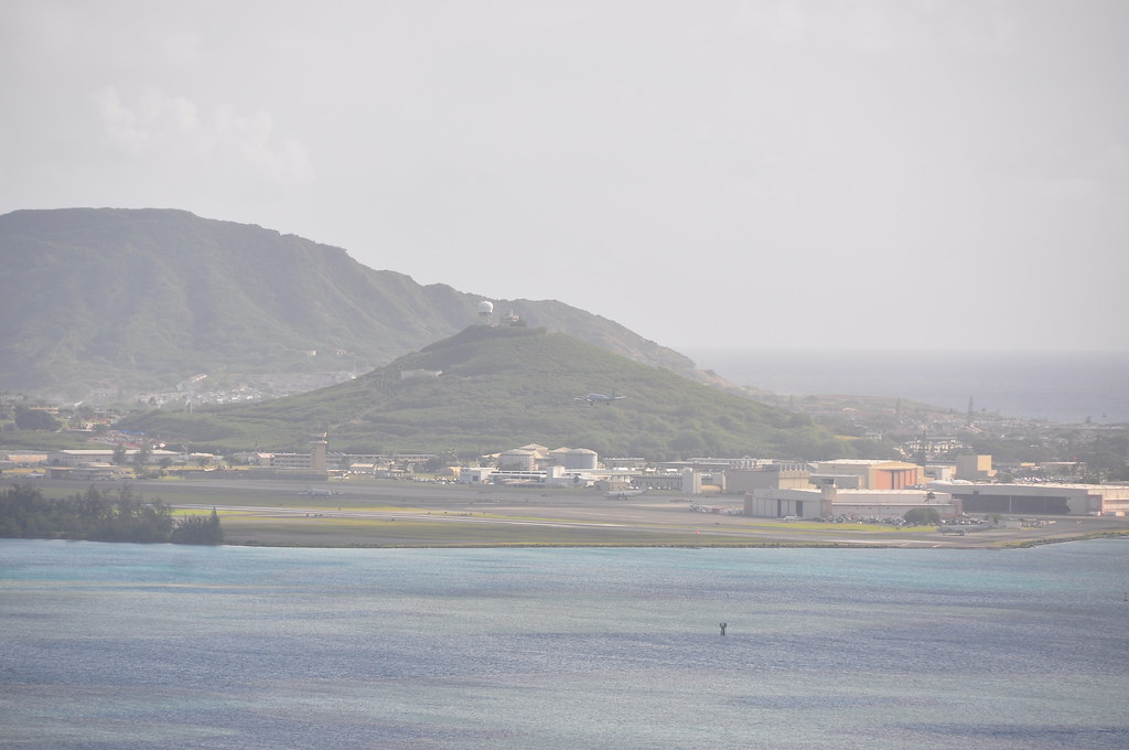
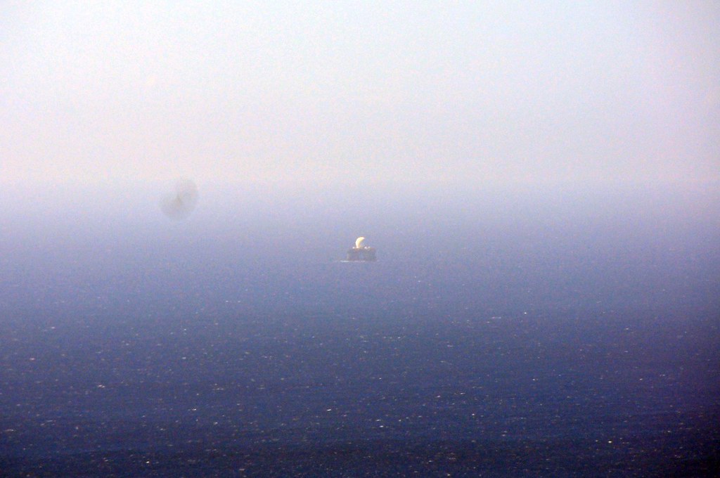
Continuing up the trail I noticed the SBX radar being towed back out to sea.


We also noted the group of hikers atop neighboring Pu'u Pia
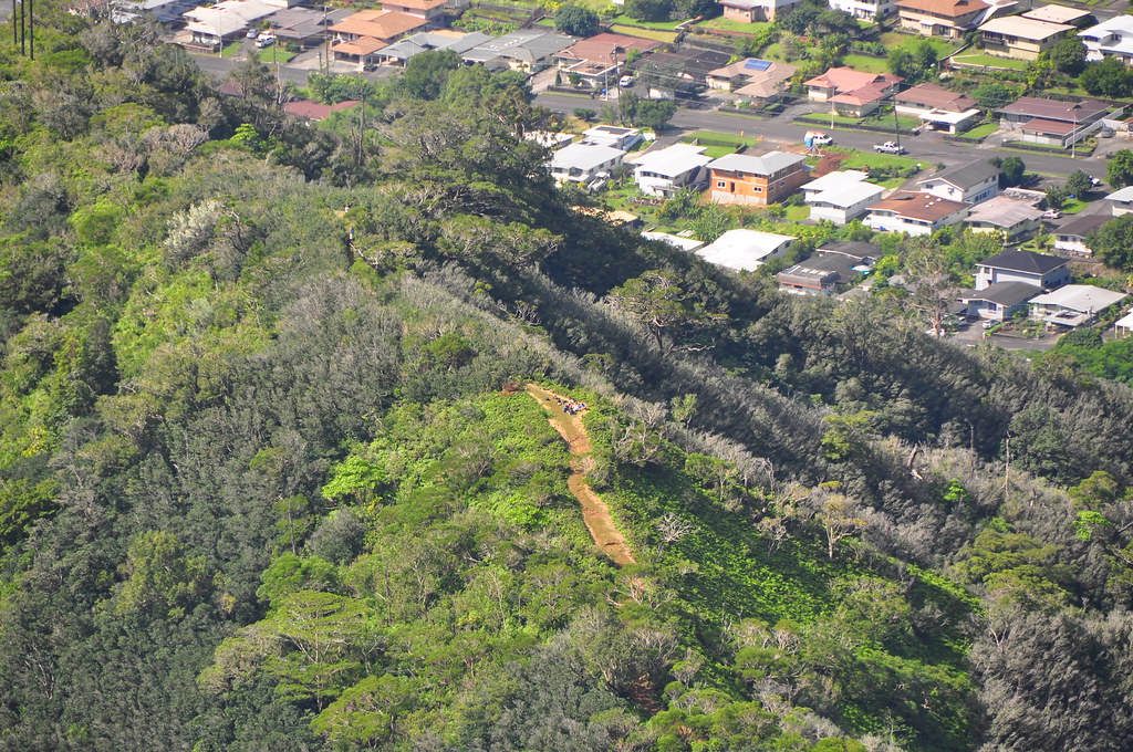
Pu'u Pia hikers
The series of ups and downs that makes up this trail can get a little tiring at times.  The wind was howling as we made our way up the ridge but the nice thing was that it was blowing the clouds off the summit and keeping us cool.  The view of the Ko'olaus towards Konahuanui was all the motivation I needed!

Looking east towards Konahuanui and Manoa Middle Ridge.

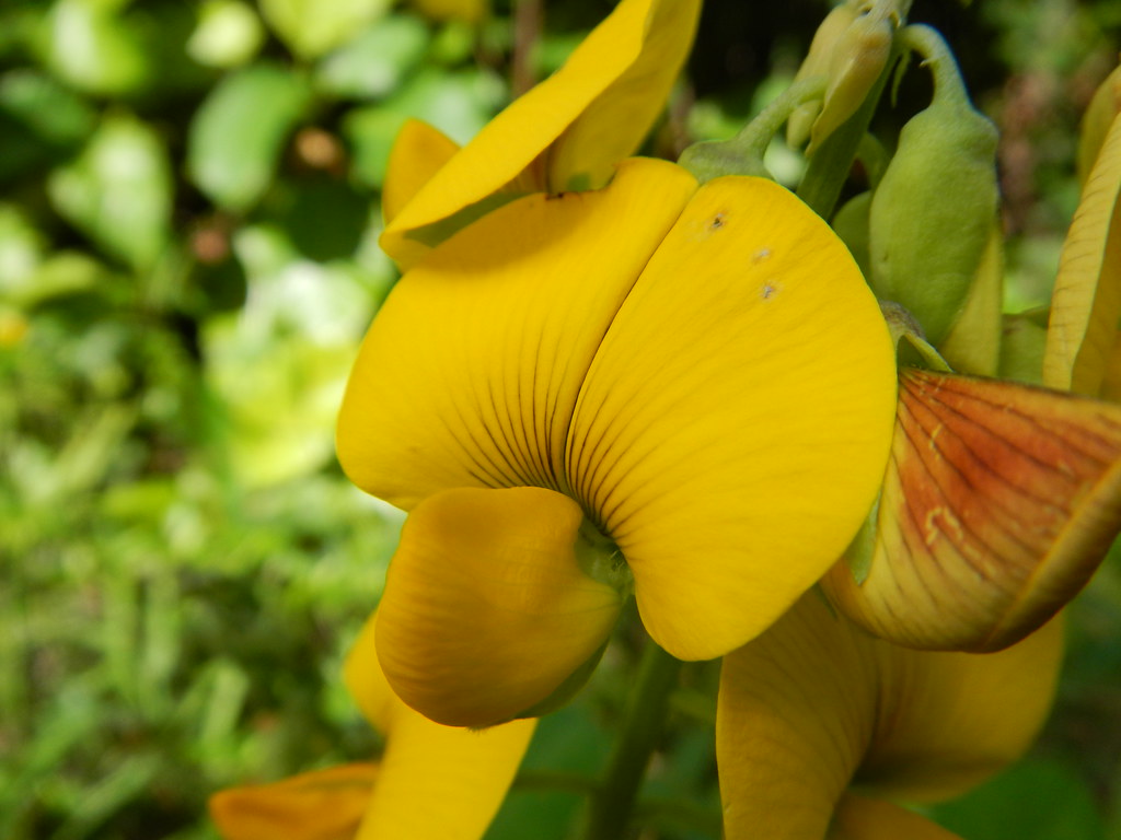
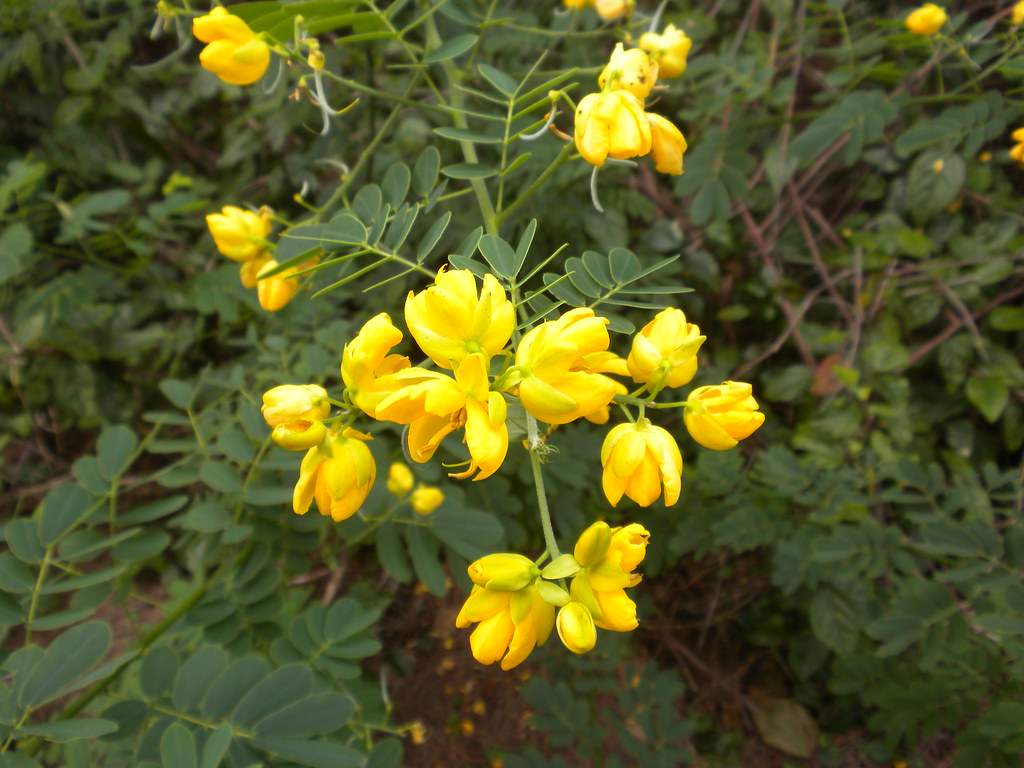
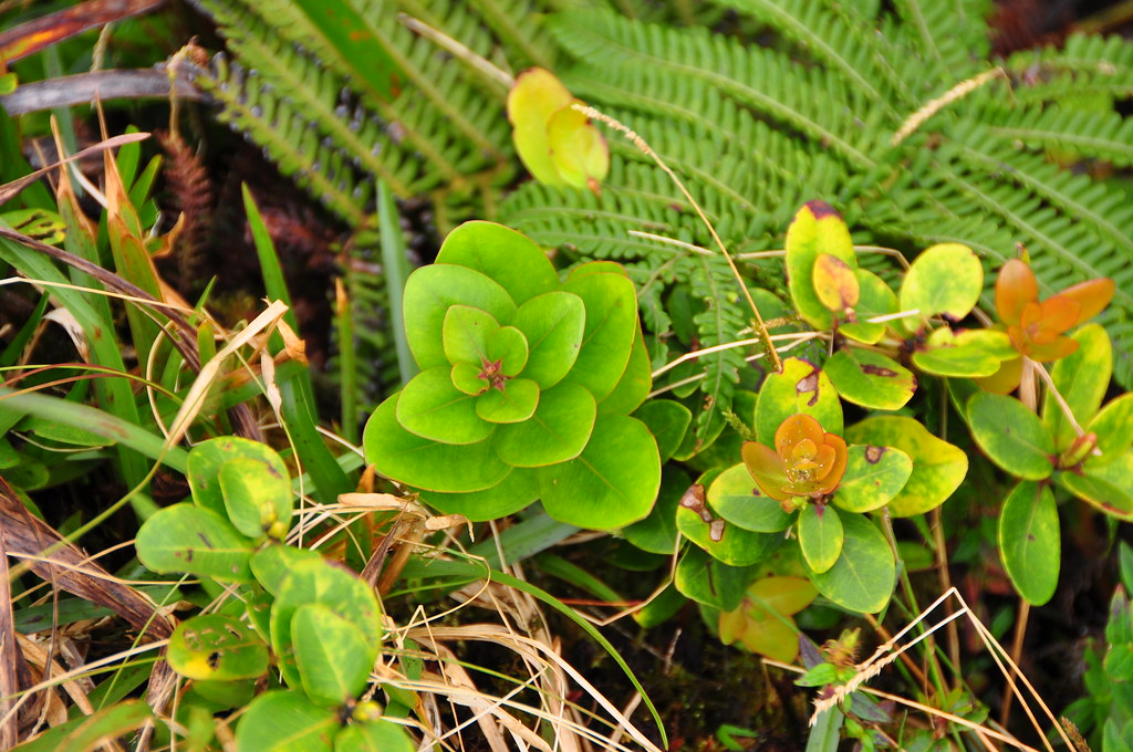
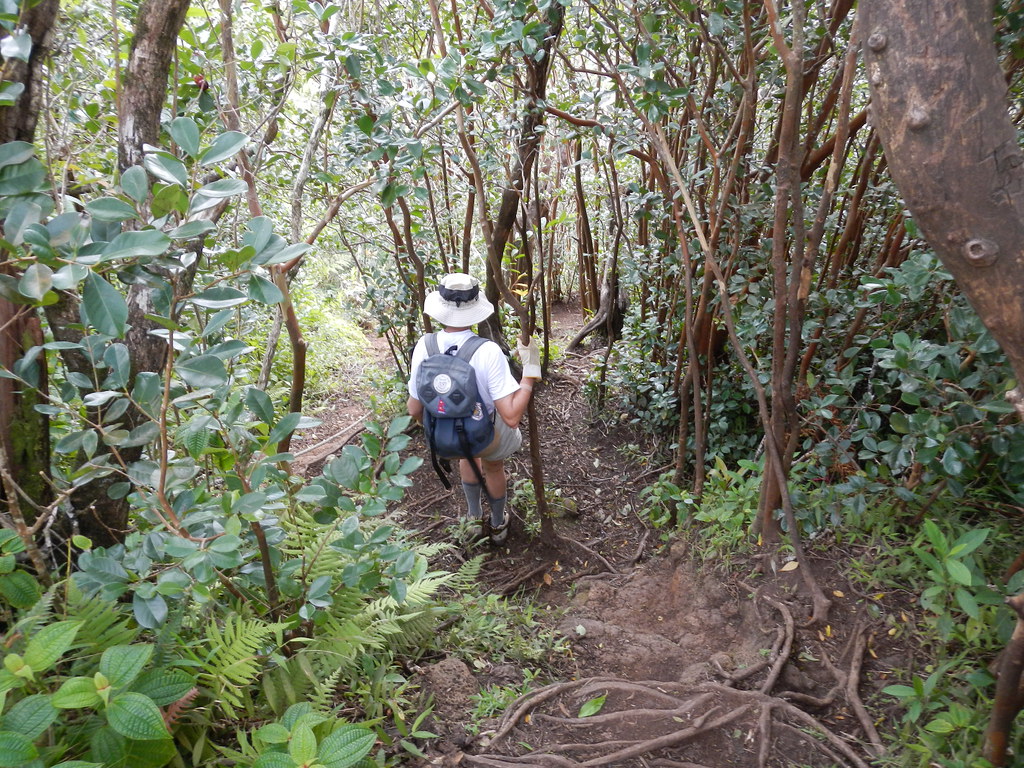
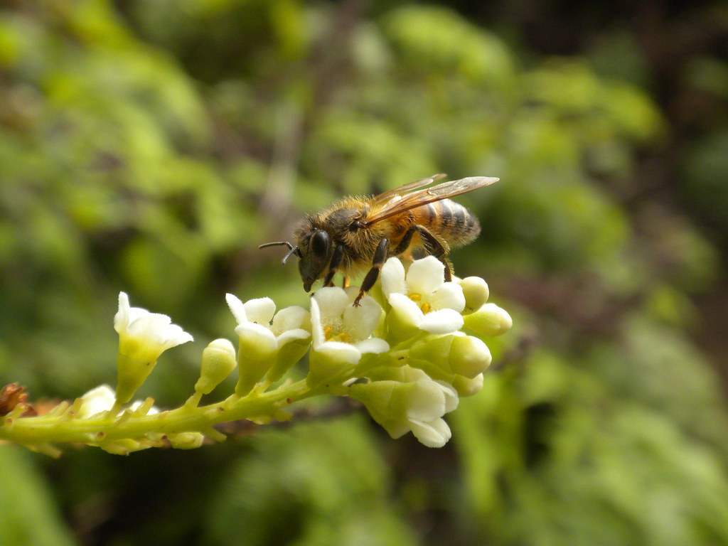
Another great thing about this trail is that after you leave the lower ridge behind you're in the native forest.  I busied myself checking out the various ohia along the way while my mom continued up the trail.  I spent a few minutes watching a bee work furiously on a gorgeous yellow lehua blossom and later stopped to examine another ohia that I call "mini ohia".  While not a recognized separate species, I'm convinced that it's different from the other scientific classifications.  I always seem to find it on the windward side of the mountains and at the summit or in the upper elevations just behind it growing as a shrub.  Often times it's blooms consist of far fewer individual flowers than a typical lehua too. 


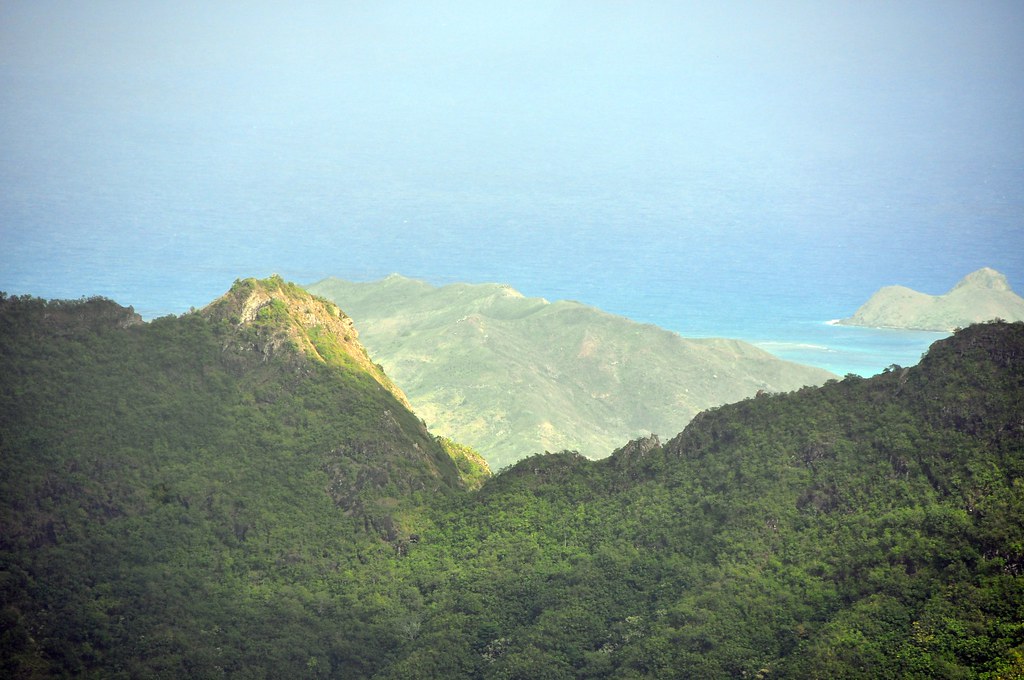
At this point our first views of Ka'au Crater were also coming into view.  Before I started hiking I remember finding this giant crater in the Ko'olaus on Google Earth and thinking to myself that some day I'd have to go see it for myself.  

Ka'au Crater
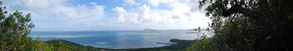
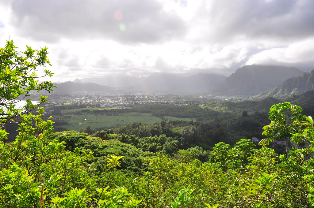
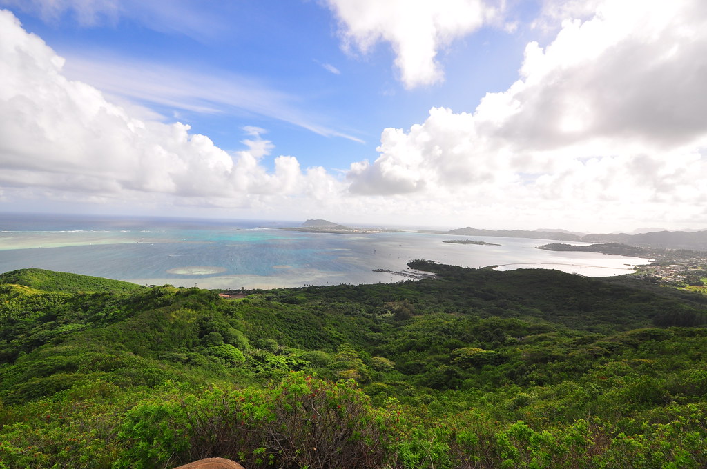
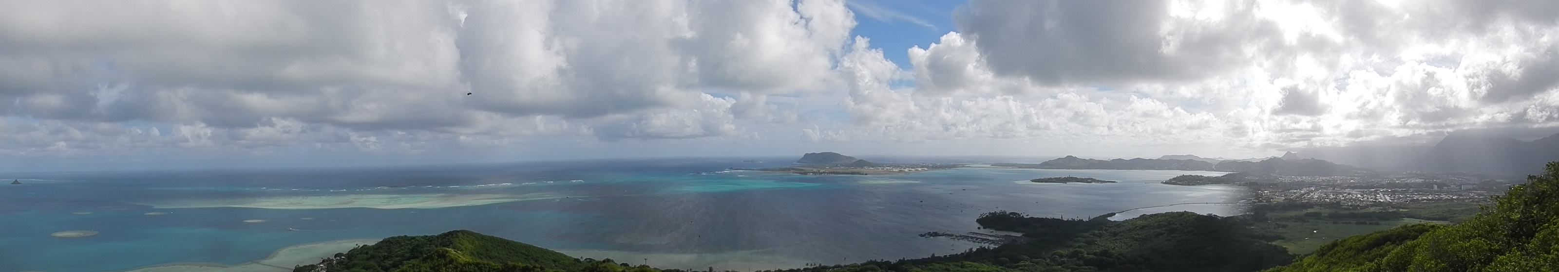
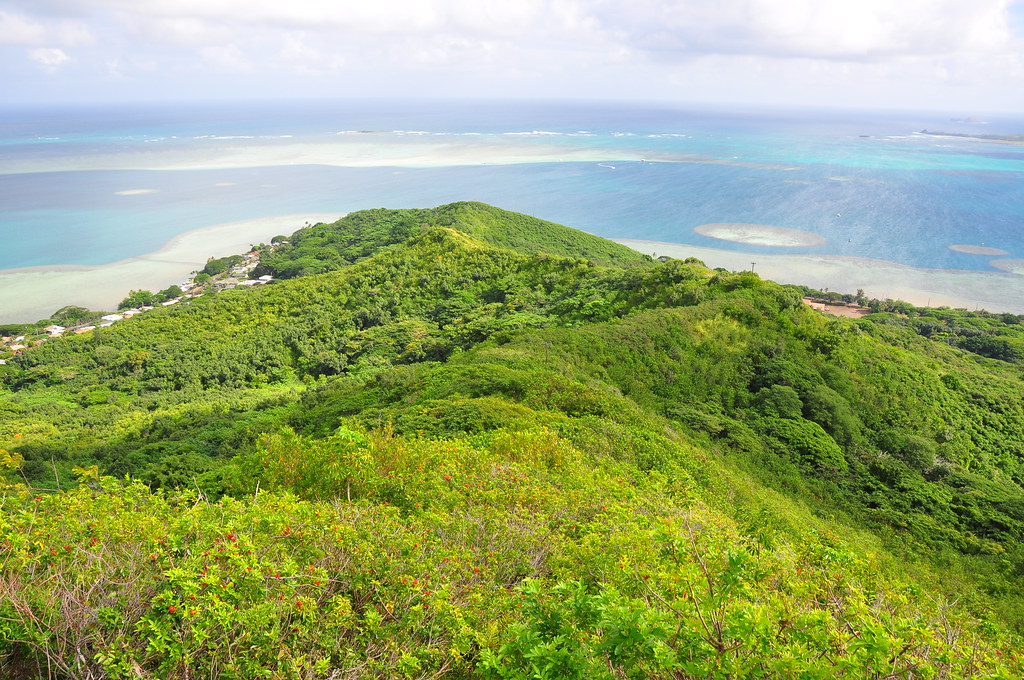
We paused to look back at the way we'd come.  The view from the ridge is fantastic including Manoa Valley, Downtown, and Diamond Head.


Looking towards my home town of Kailua through the saddle between Awaawaloa and Manoa Middle Ridge I could see Olomana, Ka'iwa Ridge, and Mokunui Islet.  The Ko'olau Summit Ridge Trail I'd done from Konahuanui a few months back was also clearly visible with all the traffic it's been getting over the last couple years.

Looking through the second and third peak of Olomana

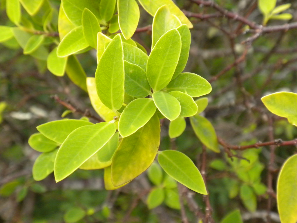
Further on another form of Ohia showed up.  I call it symmetrical ohia with it's stacked paddle shaped leaves and scraggly growth pattern when it gets bigger.   No wonder it's simply called Metrosideros polymorpha with all of it's crazy variations.


As we approached the summit the clouds began to roll in.  This always seems to happen when I'm about 20 minutes from the summit however we were still treated to fantastic views.  The wind died down to a cool breeze too so conditions were great.

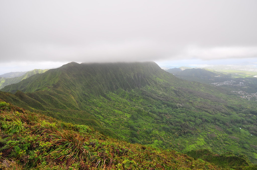
Shrouded Konahuanui and Maunawili Valley below.
Looking back at Honolulu from the summit.
We ate a quick lunch and it was time to head back down so I could be home when the kids got out of school.  The clouds had dropped down and were started to obscure the views anyway.


The return trip was uneventful except my knees were killing me with the relentless downhill pounding but didn't fail me like they had a month earlier.

50 feet of ohia awesomeness!
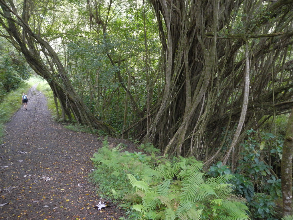
Strawberry Hill- a steeper section dominated by Strawberry Guava trees
We made our way back down to the junction with Kolowalu Trail and headed downhill to the car to finish a great day on the trail.


As it turned out this may be the last hike I do with my mom for a while.  On  January 11, 2012 she got a terrible headache that wouldn't go away.  She called my wife to take her up to Castle Hospital to get it checked out and it turned out she'd had an aneurism.  She was transferred to Queens and spent over a week in the Neurological ICU.  The fantastic doctors there were able to fix the bleeding artery and what has followed has been a tough road to recovery.  She got out of the ICU and into the regular hospital a few days before they discharged her.  Total time in the hospital was two weeks and a day.  For a while there it was pretty sketchy which put everything on hold but it looks like everything is going to work out thanks to some great doctors and nurses.

Strangely enough, my only New Year's resolution was to see more sunrises, sunsets, trails, mountains, and to learn more about the fantastic island I'm so lucky to live on.  I also wanted to make sure that my family did too because it's far to easy to get sucked into the rat race of life or glued to a TV.  I'm still behind on the blog but hopefully I'll get caught back up soon!


More pictures from this trail and others I've done can be viewed on Flickr.  Aloha and mahalo for reading.


Wednesday, December 7, 2011

Hamama Falls with Mrs. XJ

Yesterday's Pu'u Ma'eli'eli Trail hadn't bothered my knees too much so I figured I'd push my luck and take Mrs. XJ to see this beautiful waterfall hidden in the back of Waihe'e Valley that I'd visited with Jamie a few weeks earlier.

Growing up and living here I've taken the names of places for granted and have never questioned their meanings.  I've been doing some reading in hopes gleaning a better understanding of the places I go and things I see.  According to mythology Ke akao Ku (the shadow of Ku), a mute, was told that if he returned to Kahiki to be married his ability to speak would be restored.  Enroute he was attacked by a giant squid and during the battle he threw it into Kahalu'u (diving place) and it landed inland in this valley.  The slime from the squid covered the valley and gave it it's name- squid liquid.  Hamama is a little more difficult to track down other than it's meaning: "open".  I've been unable to find any legends that would explain it's name as of yet.  Sorry, now back to the trail!

Parking at the end of the road we walked over to the gate to await a group of hikers that Marcus AKA The Caveman was going to take into Waihe'e.  After waiting a while I got a phone call from him and he'd been mired in the Asian Pacific Economic Conference (APEC) traffic and wasn't going to make it.  He asked if I'd show his group the route over to Waihe'e Falls.  However, when nobody appeared after waiting for a half hour after the meet time we figured no one was coming and started up the road by ourselves.


If you do this hike please keep in mind that it is on Board of Water Supply property and you are trespassing so there is a risk of being issued a citation.  I think your chances of being cited increase with the amount of noise and irritation you subject the folks living in the neighborhood so being quiet and inconspicuous is a good idea!

Mrs. XJ and I have no idea what this sign says.  I wish I could read officer!

We forged our way up the road into the valley though a mostly introduced forest.  The first section is filled with simpoh air (Dillenia suffructicosa) trees with these bright yellow flowers. Originally from Southeast Asia, it's almost in continuous bloom and here in Waihe'e Valley it's naturalized itself into fairly dense stands.


While there isn't too much native forest to be found, there are some scattered Ohia and Koa along the road.


Passing the tunnel the road steepened until we reached this Banyan tree near Hamama Falls.  The trail to Waihe'e Falls begins down the gully across the stream.


A very short walk later we reached the magnificent Hamama Falls which we had completely to ourselves.  We relaxed enjoying the sound of the water splashing it's way down and posed for a few photos.


As we prepared to leave we heard voices approaching.  It turns out the Caveman's group had been stuck in traffic which had delayed their arrival at the trail head.  I offered to take them over to Waihe'e Falls after they'd had a chance to see Hamama.  Mrs XJ elected to skip the second falls despite my encouragement so we set off from the Banyan tree without her.

I left my backpack with Mrs. XJ and didn't think to take any more pictures.  The only shot I took was of the trail downstream of the Banyan tree.  The trail continues under that tree blocking the trail for about 20 more yards then takes left turn in some shoulder high ferns.  After that it's clear sailing to Waihe'e aside from the mud and mosquitoes. 


With the other group safely over the Waihe'e Falls I rejoined Mrs. XJ and we headed back out of the valley admiring the Ko'olaus' beauty.  It's always a pleasure to have her accompany me.


More pictures from this trail and others I've done can be viewed on Flickr.  Aloha and mahalo for reading!


Tuesday, December 6, 2011

Pu'u Ma'el'ieli Trail

After last week's brutal trek on the Ko'olau Summit Trail I needed something easy.  Amazingly my knees recovered fairly quickly with some Advil and although they're certainly not better, a little exercise was in order.

From what I'd read Pu'u Maelieli Trail seemed to fit the bill.  It's almost exactly a mile each way and leads to a fantastic view of Kaneohe Bay.  I used local hiking legend  Dayle Turner's article for directions and a route description.

We met at McDonalds in Temple Valley and then parked our cars on Hui Iwa Street and headed down the road to Kahekili Highway just like the article said to.


As promised, there was a trail just past the condos.  There's also a metal gate with a No Trespassing sign too.  Ignoring it, we took the obvious trail and began a slow climb.  It was definitely the remains of an old road and as it reached the ridge we took the left path towards Kualoa.


There were several paths that lead off to the right but we ignored them and continued along the ridge.  I noted where an ironwood tree had engulfed barbed wire strung around it years ago.


The road dipped sharply down and the stiffly up.  Despite the high overcast conditions the lack of a breeze made the climb a hot one.  The vegetation trailside was mostly introduced stuff typical of the low lands like ironwood, haole koa, chinese violet, ect. but every once in a while there was a surprise like noni or akia.


Nasty fiddle wood!
Ever present in the Kaneohe area is the invasive fiddle wood tree.  It's orange berries must be a treat for the birds which seem to spread it everywhere.  I find this stuff growing in my yard in Kailua from time to time.  Between it, the octopus tree, and haole koa it's among the worst of the weeds of the windward lowlands.

Further on, the trail meanders under some Christmas Berry, another invasive pest. 


We heard the unmistakable sound of one of the Navy's P3 Orion anti submarine patrol planes droning overhead and a break in the vegetation gave us a view of it and of Kaneohe Marine Corps Air Station across the bay.


Making the final climb to the summit we looked back to this fantastic view of Kaneohe across a large wetlands fed by He'eia Stream.


Eventually we reached the top of Pu'u Maelieli.  At the summit this sign explains the meaning of Ma'eli'eli and alerts you to the areas history as He'eia Combat Training Area in World War II.  It's interesting to noted the gods Kane and Kanaloa raced to the top of this hill.  My knowledge of Hawaiian mythology is a little sketchy but I'm assuming this was during the time when they traveled the islands digging up springs.


Just beyond the sign the old WWII era fire control stations that help direct fire from the various coastal artillery defenses of windward O'ahu awaited.  The complex is known as "Fire Control Station 8".

Entrance to the first bunker
Optics mount
Inside of the first bunker
We made our way though the various emplacements and stopped our hike at the double-decker at the end of the point.


The views from the last set of bunkers is fantastic!


 We dropped into both the bunkers to explore them and sat on the edge of them soaking in the beauty of the bay below.


I had a feeling that there was more to be discovered along the feint outline of the old overgrown road that makes it's way up from the makai side of the ridge.


 Looking at this historic picture of Camp He'eia I'm guessing there are all kinds of things hiding in these hills.

"Borrowed" from http://www.poh.usace.army.mil/env/env-projects.htm
The trail continued to westwards beyond the last bunkers but we decided to call it a day and head back to our cars on Hui Iwa Street.  Pu'u Ma'eli'eli is a fantastic little hike that I'd equate to  Ka'iwa Ridge above Lanikai.  Definitely one worth doing!


 More pictures from this trail and others I've done can be viewed on Flickr.  Aloha and mahalo for reading!