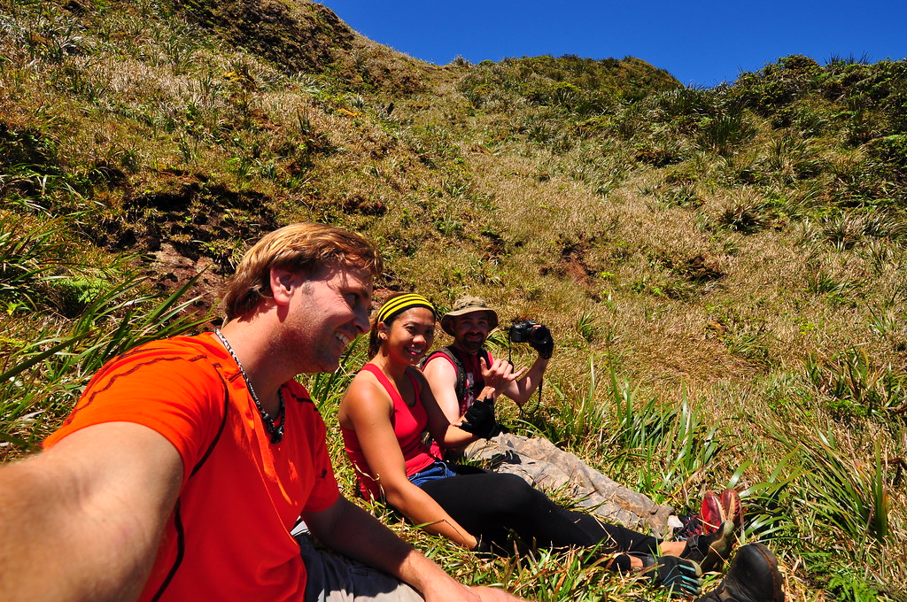
What a way finish to the Ko'olau Summit Trail! On May 15th I completed the final segment of my piecemeal journey on the historic KST. Joining me on this adventure were Mike and Agnes who I've been hiking with lately as my regular partner II has been tied up with other things.
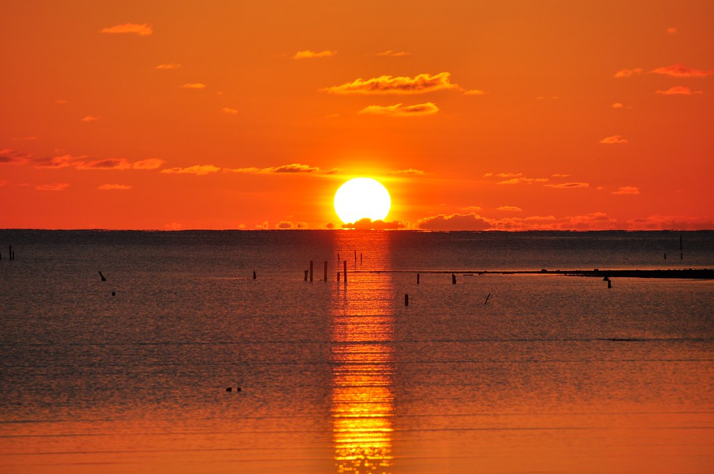
Originally we were to meet at the 7/11 in Kahulu'u across from the Hygenic Store at 5:30am but due to traffic in town they were running a little late so I headed down the street to watch the sunrise over Kaneohe Bay. The slight haze hanging in the air made for beautiful oranges and yellows as the fiery ball broke free of the water. What a day it was shaping up to be with barely a cloud in the sky!

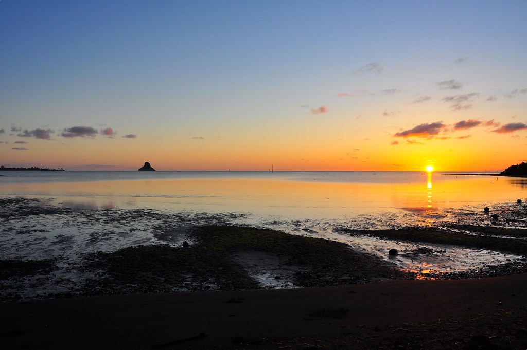 |
| A great start to a great day! |
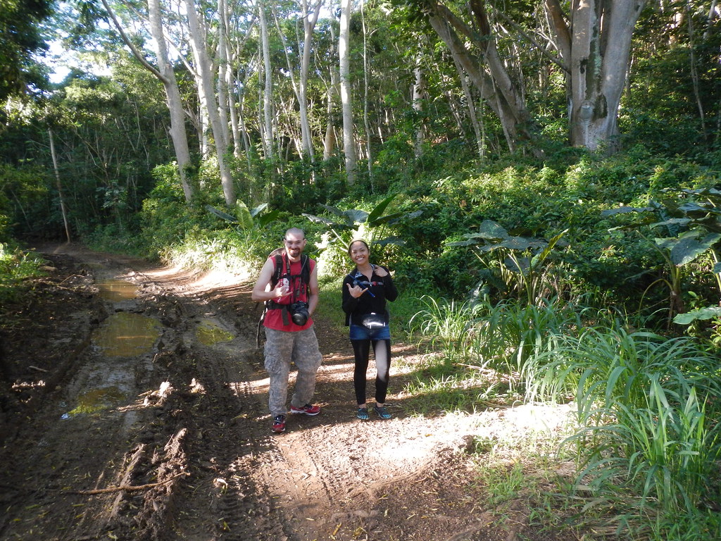 |
| Walking up the long dirt road in the valley |
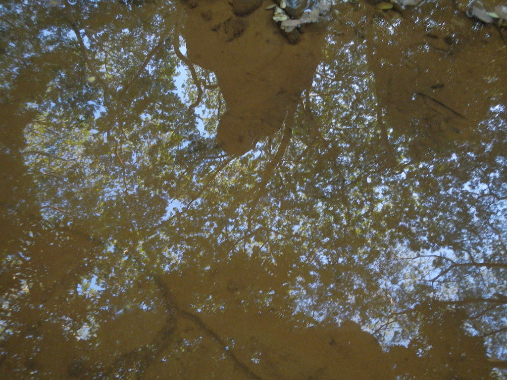 |
| Reflection in one of the many puddles in the road |

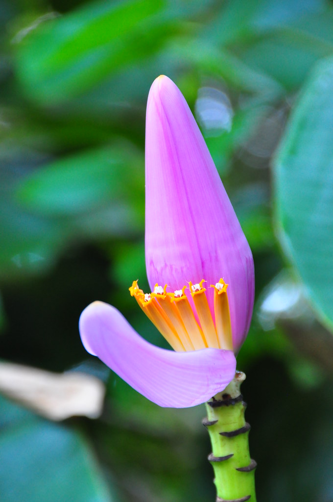
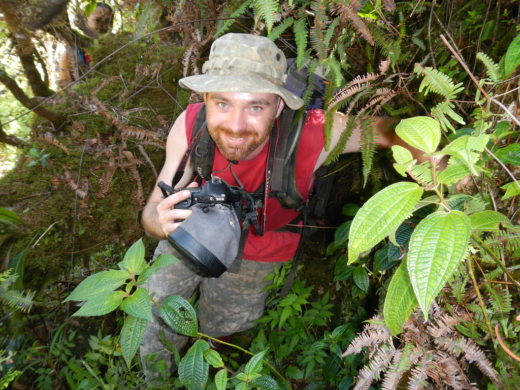
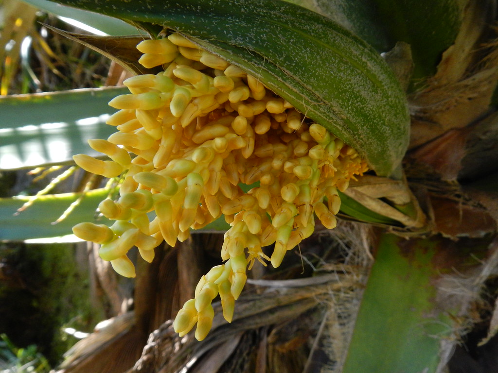
We couldn't help but take a few pictures of the explosives signs and a banana flower as we approached the lone farm where the old VW van used to be and where a pack of dogs guard a private driveway. I cautioned everyone to be quiet as we approached and was able to sneak by undetected. Mike and Agnes weren't so lucky.
We couldn't help but notice all the orange spray paint marking deteriorating or vandalized portions of the Marine Corps' fence that delineates the old training area. No sign of any demolitions teams clearing unexplored ordinance that day either like my first trip up Waikane to Pauao.

We passed the final gate into the Waiahole Water System and paused for a group photo before continuing up the road which began to contour a little through the valleys to the former site of Waikane Camp and one of the tunnels of the ditch system.

Again we took time to pose for photos on the old concrete bridge that crosses the stream coming out the tunnel. At first we were careful not to jump on it as portions of it are pretty unstable but after a while it seemed more important to beat our cameras' 10 second timers so caution was thrown into the wind as we rushed to get into positions for pictures.

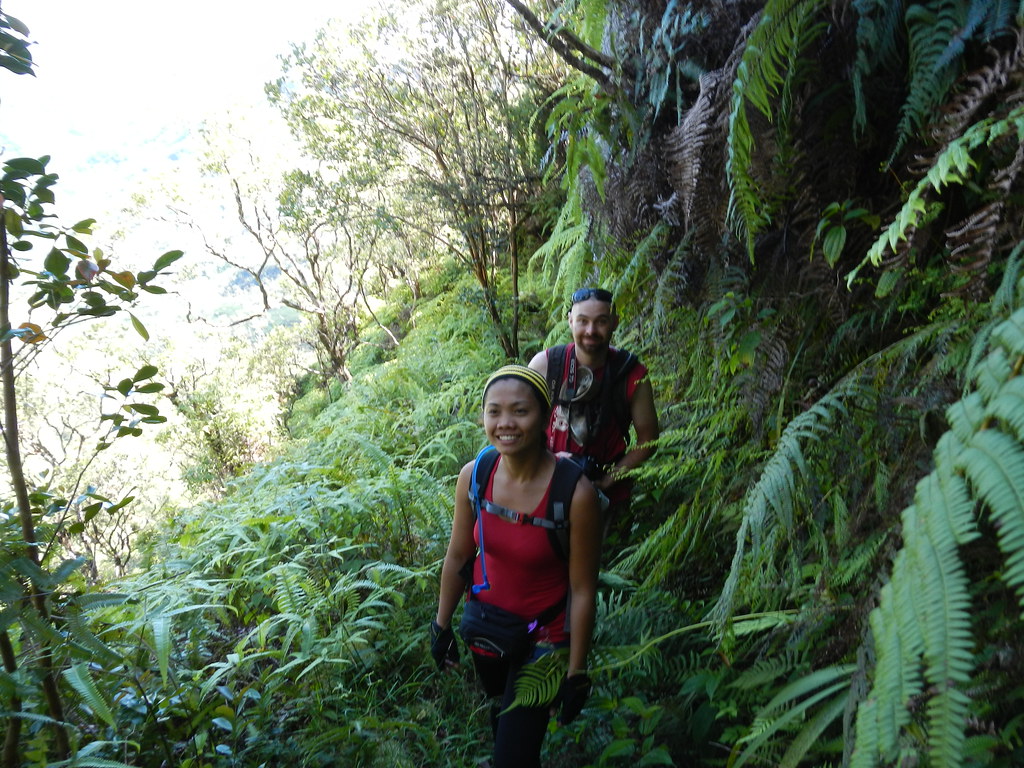
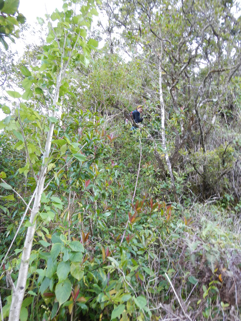
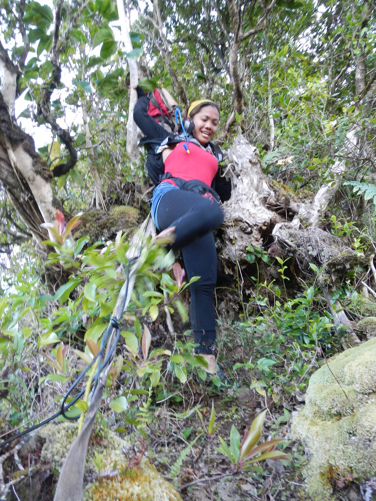
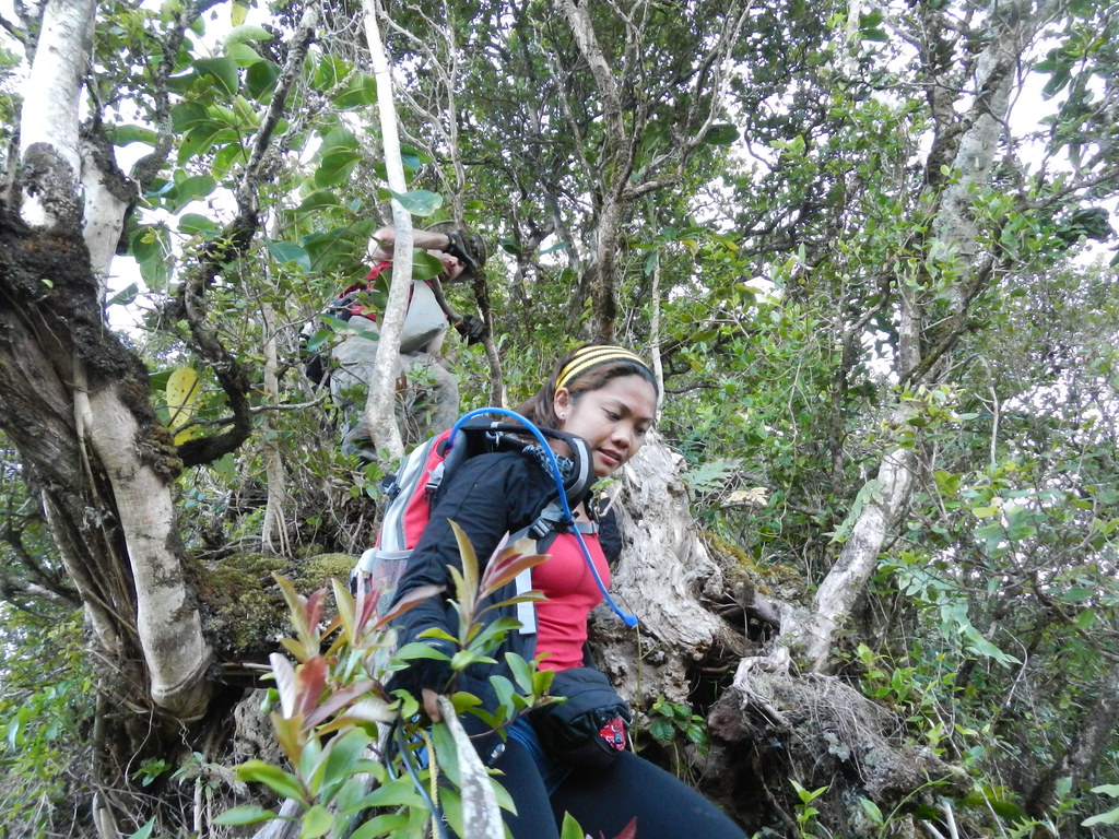
We continued up the road a bit to the start of the Waikane Trail near another station around the next corner. The start of the trail is overgrown and washed out so we took the shortcut up a stream bed to join the trail instead. I've been up here a couple times before on previous adventures so tried to be mindful that this was their first time on the trail so we stopped to enjoy sites and take pictures quite a bit. I figured it was going to be a long and hot day on the trail and I'd need my rest anyway!
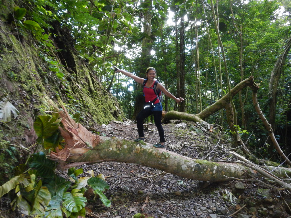 |
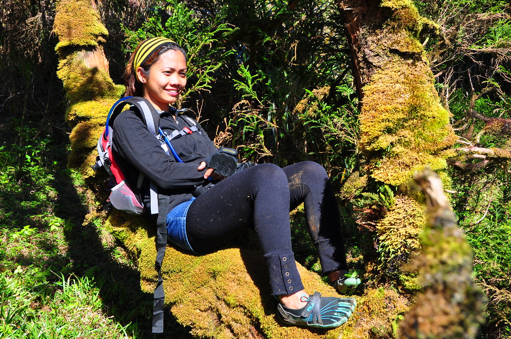
| Agnus stopped to surf a fallen tree |
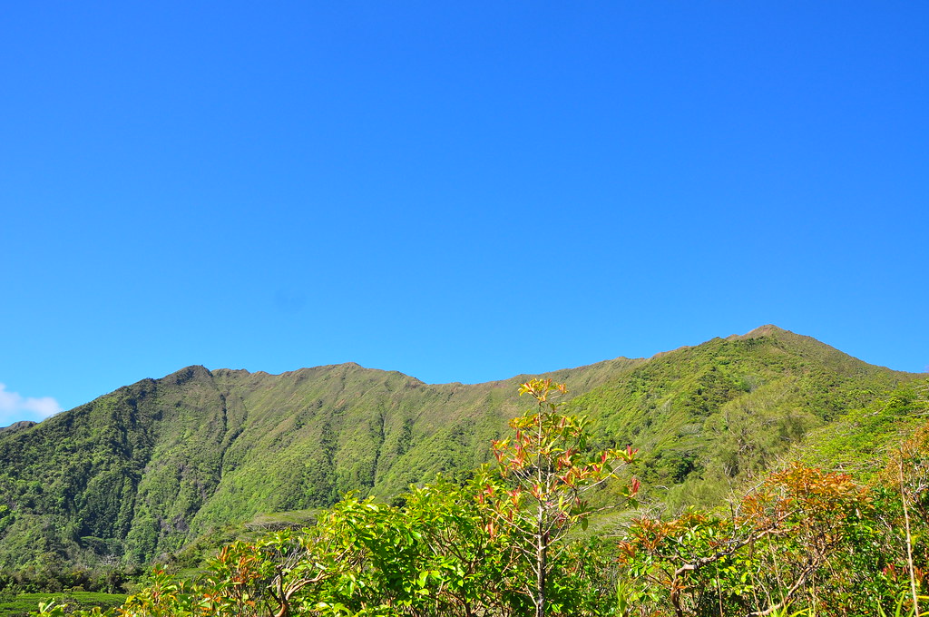
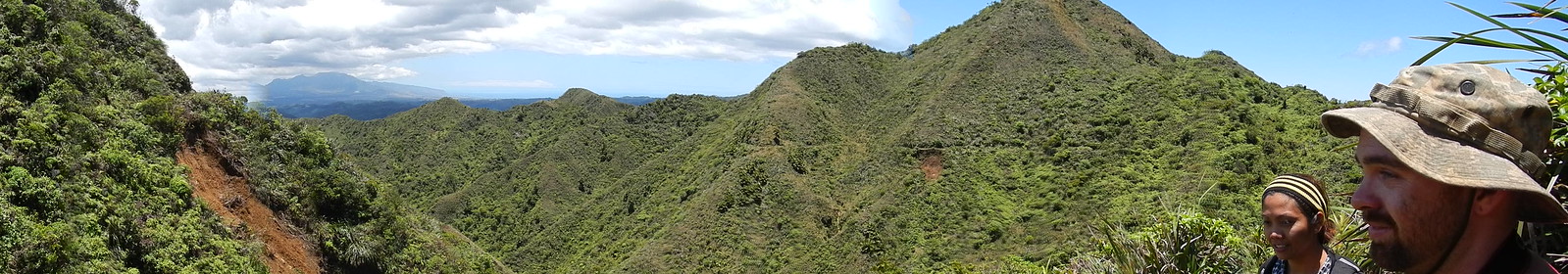
A break in the canopy gave us our first look at the beautiful mountains that surrounded us. Pu'u Koiele shown in the photo below is on the makai side f the saddle that separates Waikane from Kahana. Pu'u Ka'aumakua is on the mauka side of the saddle

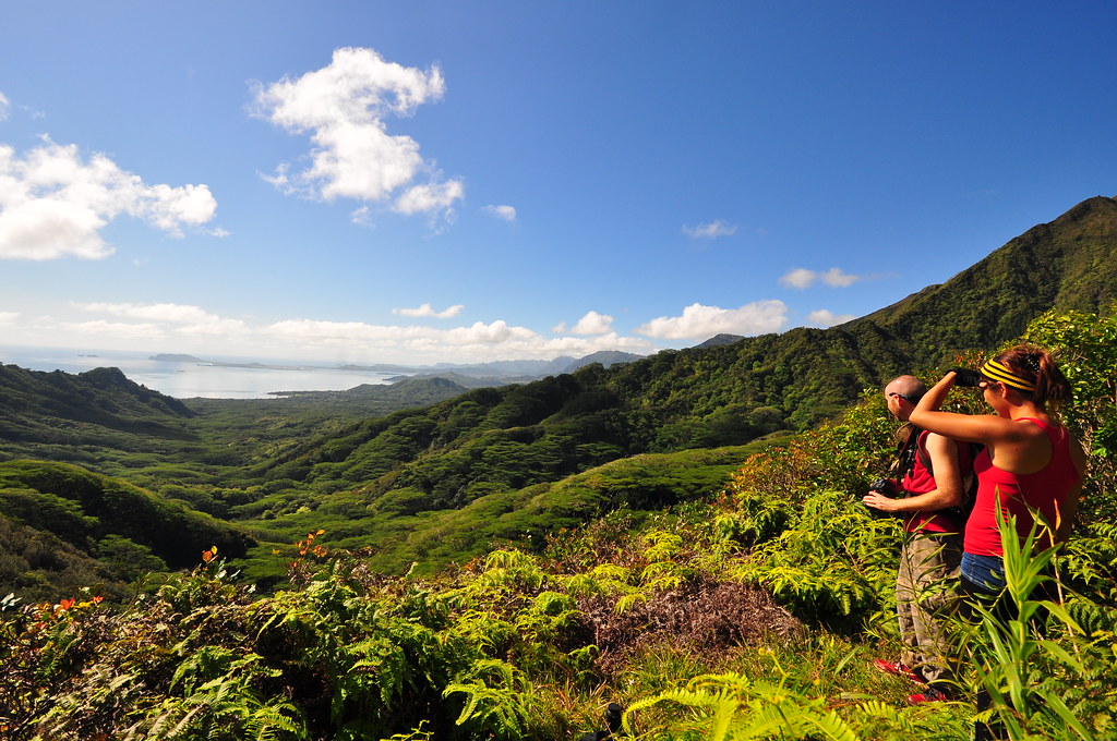
We worked our way up the old trail enjoying it's wide swatch and the old lava rocks that it was paved with until we reached the top of the saddle. The left turn is Waikane Trail and the right is Waiahole Ditch which I spent a long hard day on a few months prior. We veered right on the Waiahole Ditch Trail where there's scenic overlook. There are some great views to enjoy here.
 |
| Waikane Valley |
 |
| Mike and Agnus enjoying the sights. |

Looking up at the cloudless Ko'olau crest we could not have picked a better day to do this! Pu'u Ka'aumakaua is the tallest point on the right which is near the junction with the Waikane and Ko'olau Summit Trail junction.
 |
| Perfect conditions! |

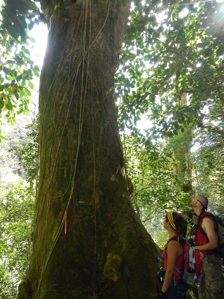
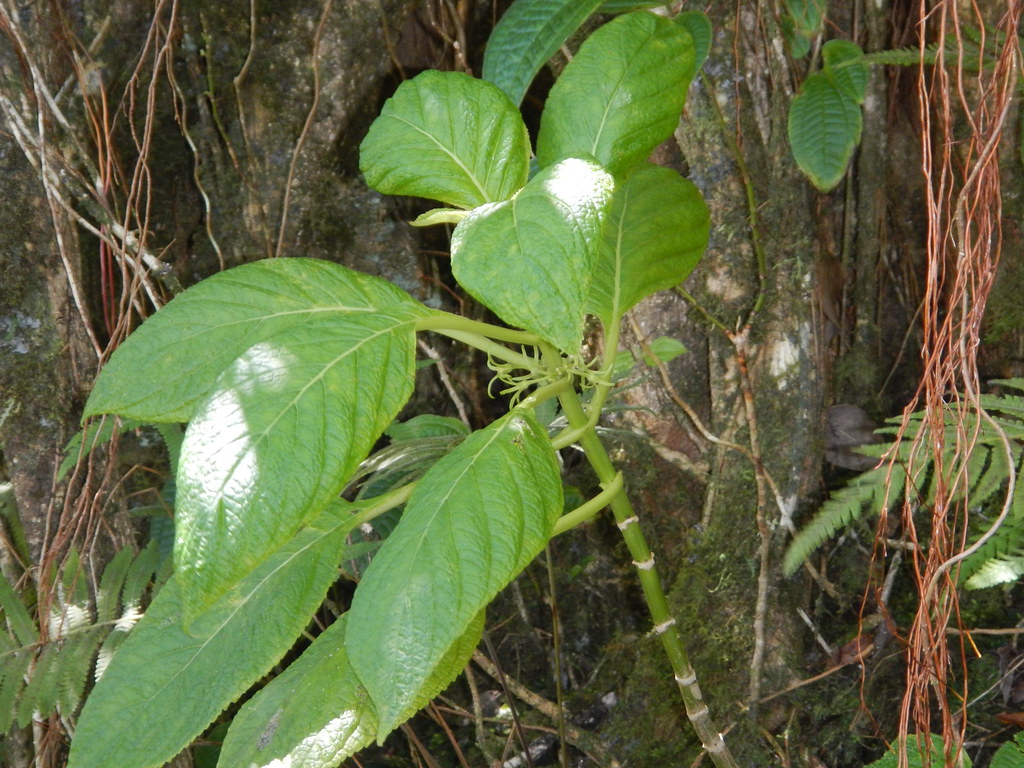
One of the more common trees along the lower sections is Lehua Ahihi, Metrosideros tremuloides, an endemic Ohia found only on O'ahu. Several of them had air roots they use to pull moisture out of the clouds to augment their water intake.
Lehua ahihi frame this shot of Pu'u Piei which is along the ridge dividing Kahana Vally from Punalu'u Valley.

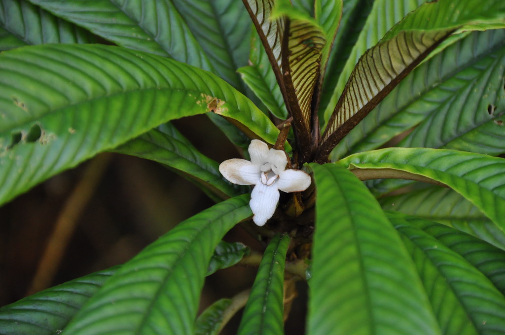
Further up the trail we were treated to a few Ha'iwale, Cyrtandra, species. There are about 58 species of the native relative to the African Violet and I'll be the first to admit there are far too many of these for me to identify other than C. Hawaiiensis but thankfully the Hawaii Plant ID group on Flickr and expert Joel Lau were able to help.

 |
| Ha'iwale- Cyrtandra hawaiiensis |
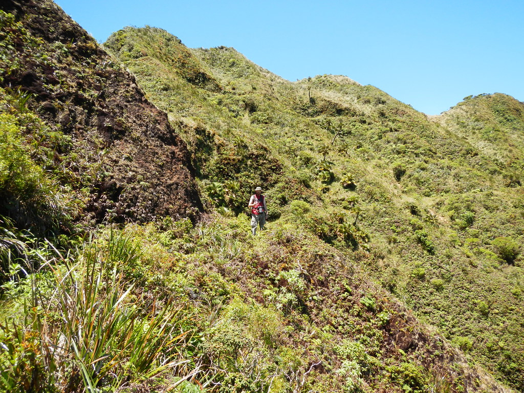
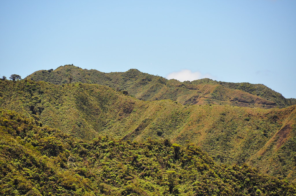
It doesn't feel like it but there is some massive exposure to the drop into Kahana Valley so keeping an eye on your footing is a priority although tough to do on a great day like this. The views of the untamed O'ahu so many who live here never see were simply jaw dropping.

Winding our way up the trail that the Army blasted into the side of the Ko'olaus, the views only improved.

 |
| Wild O'ahu |
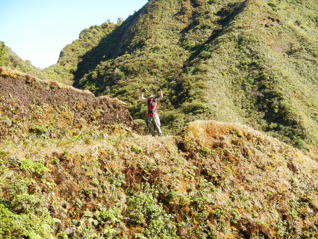
At one point the trail below me gave way and I tumbled down into the valley below. As I plowed uncontrollably though the brush towards the cliff into the valley my life flashed before my eyes. Thankfully I stopped and was relatively unharmed. I clawed and struggled to reclimb the hundreds of feet I'd fallen down... Nah, that didn't happen. Mike dropped down the ridge to try and get a better angle of the valley below so we goofed around with this staged shot while we waited for him to come back up the ridge.
 |
| Help!!!!! |


 |
| The lower trail is Waikane and the upper is the KST to Kipapa |

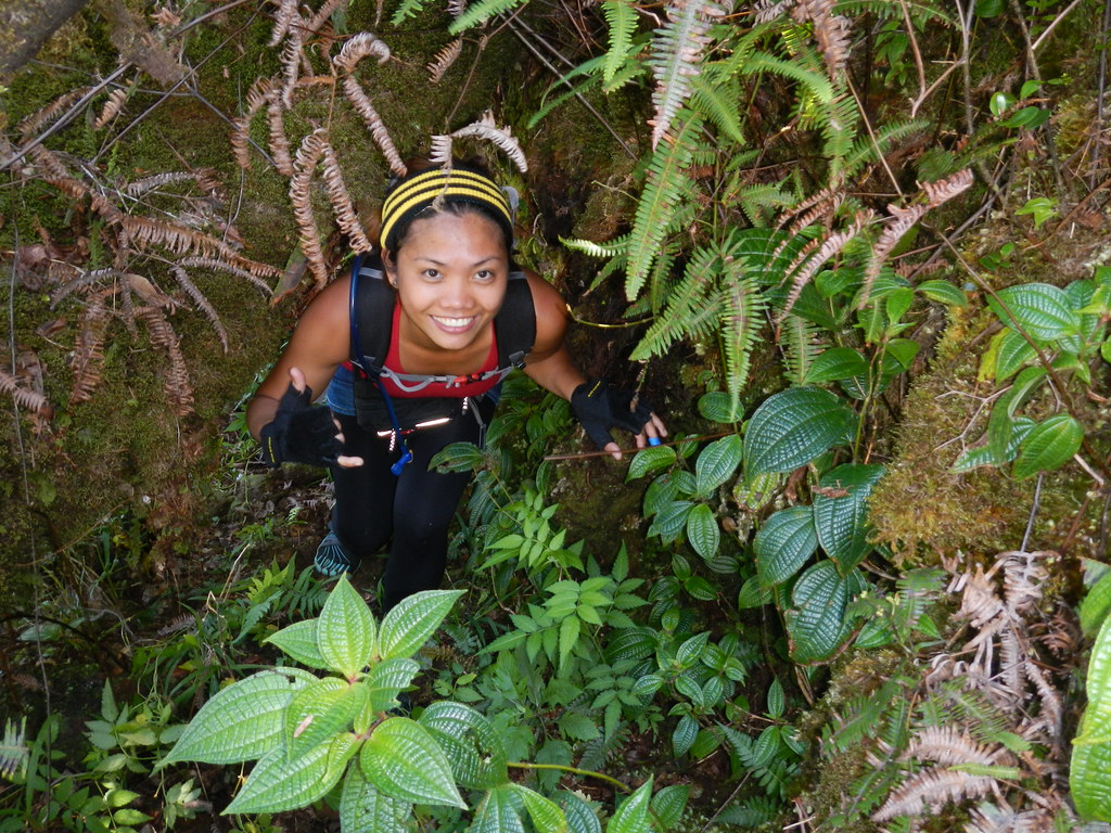
As we climbed to the summit of Pu'u Ka'aumakua we stopped for some group photos.
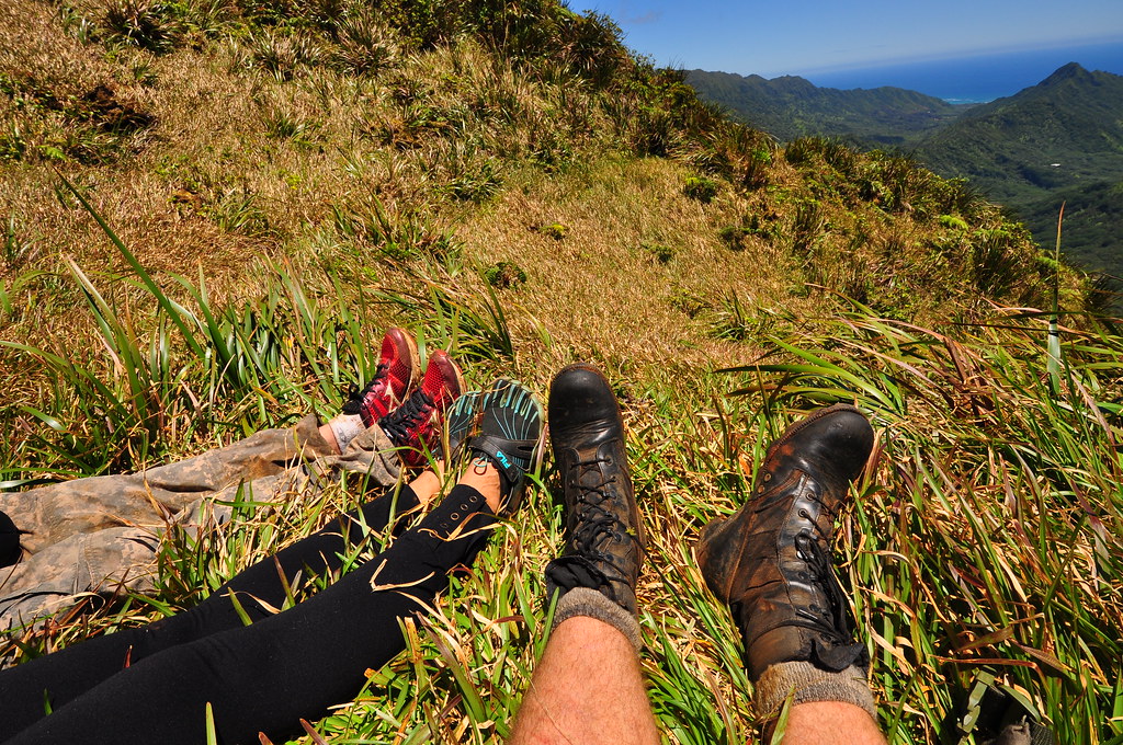
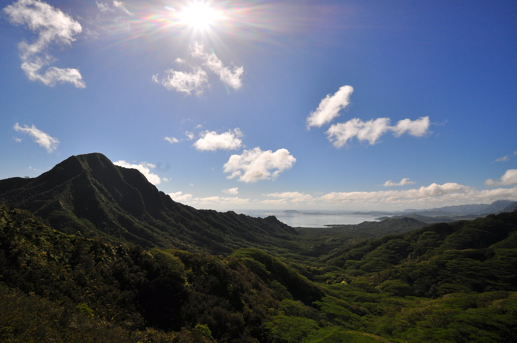
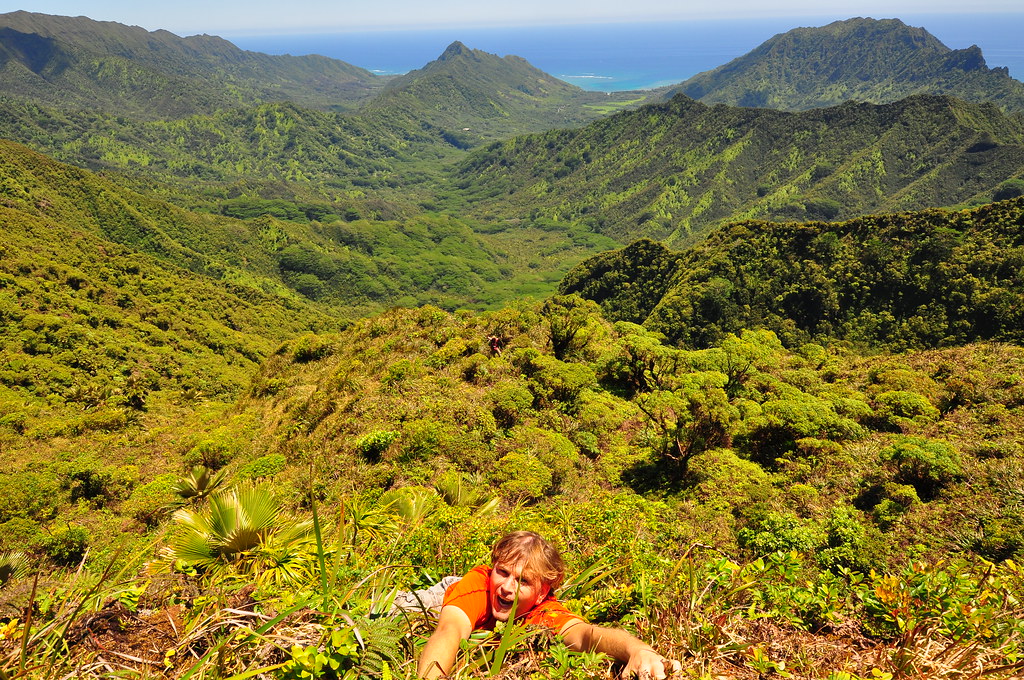
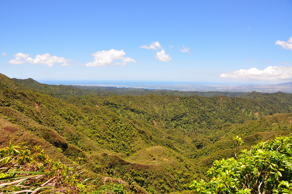
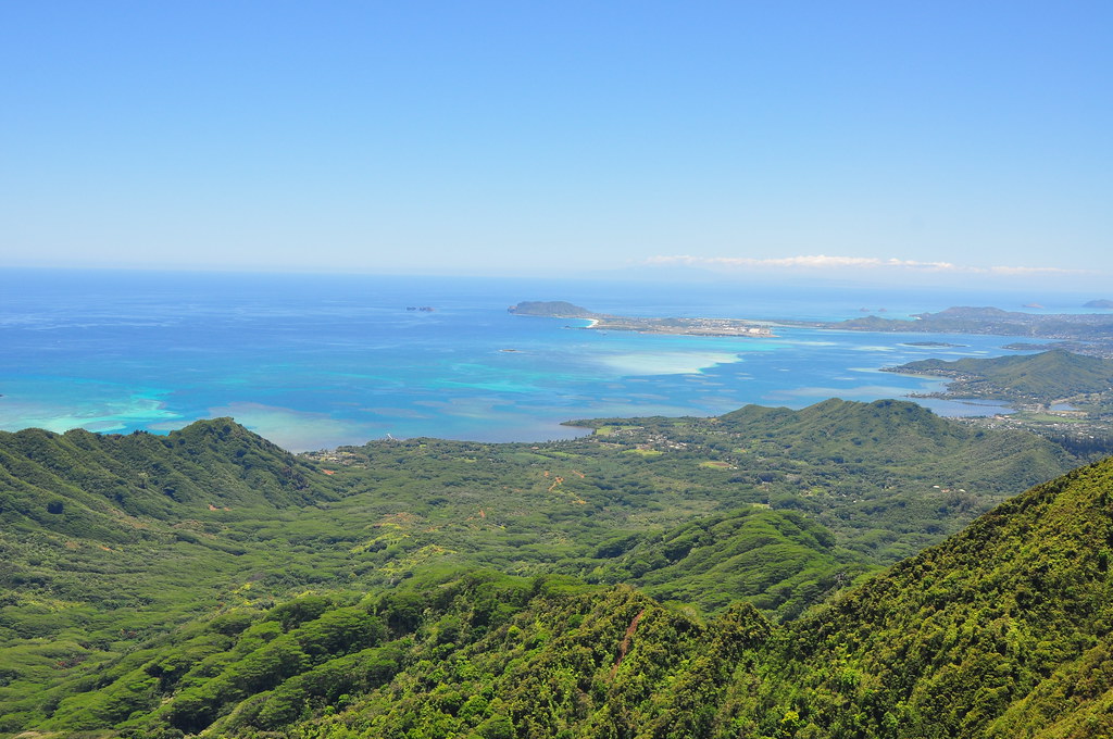
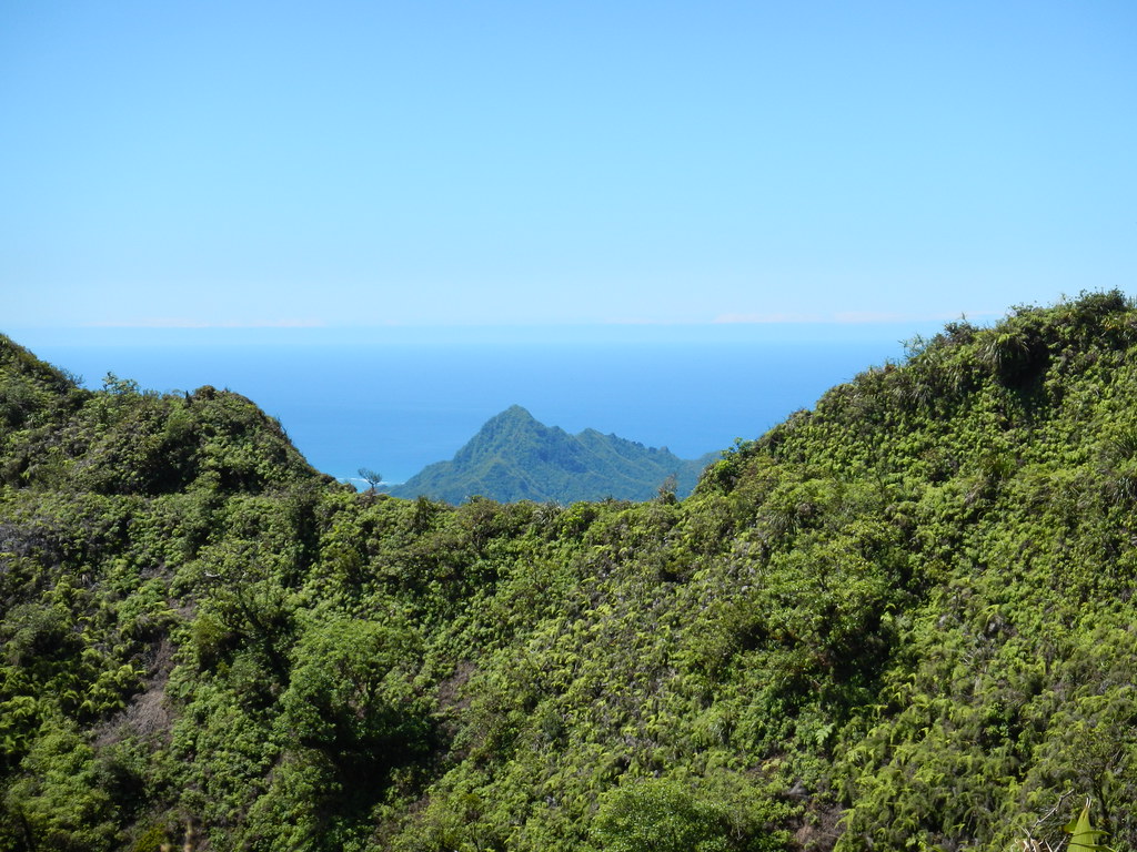
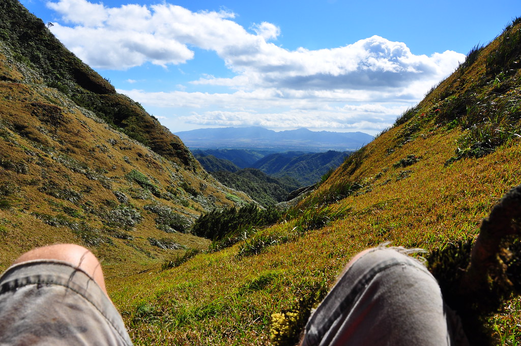
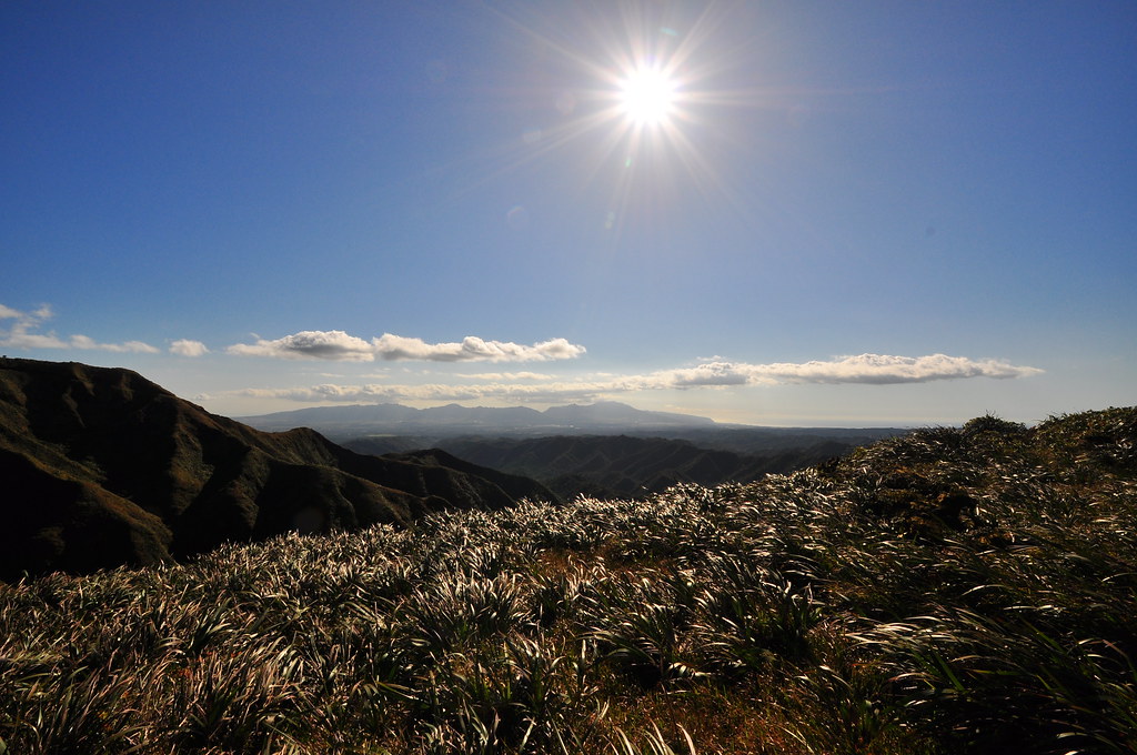
As we reached the first leeward section, we got our first look at the dominant view of the rest of this segment, central O'ahu. We were very lucky as this area is often clouded over.

Looming far away in the distance we could also see the end of of the KST where it joins the Kipapa Trail. My 200mm lens makes it look like it's right next door.
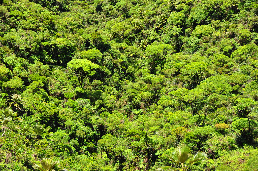
Down below the trail were native forests of Ohia which reminded me of the spectacular beauty of Poamoho Trail.

Along that first contour the view expanded to include Ewa Beach and Pearl Harbor. Also in the shot below the weather station nestled down in the valley comes into view. (The flat area mid frame, low.) The green tree in the left is an Ohe Mauka, Tetraplasandra oahuensis, which is an endemic tree in the ivy family.
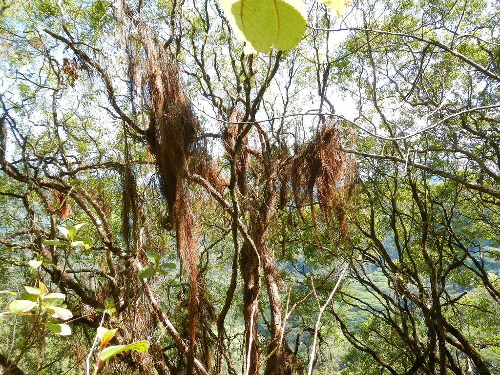
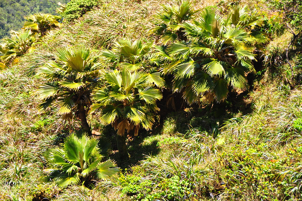
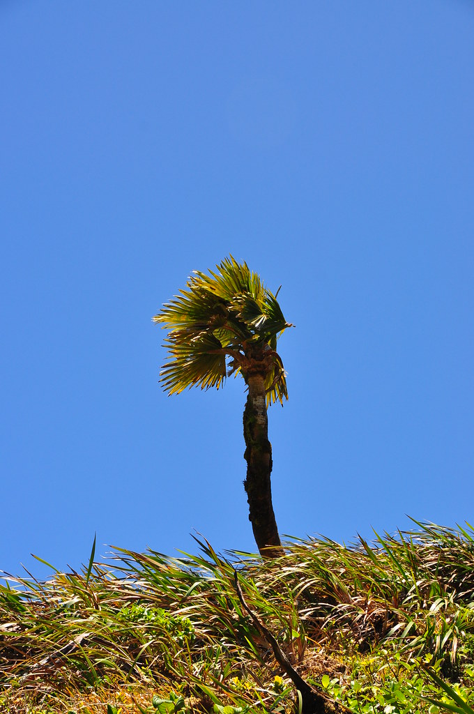
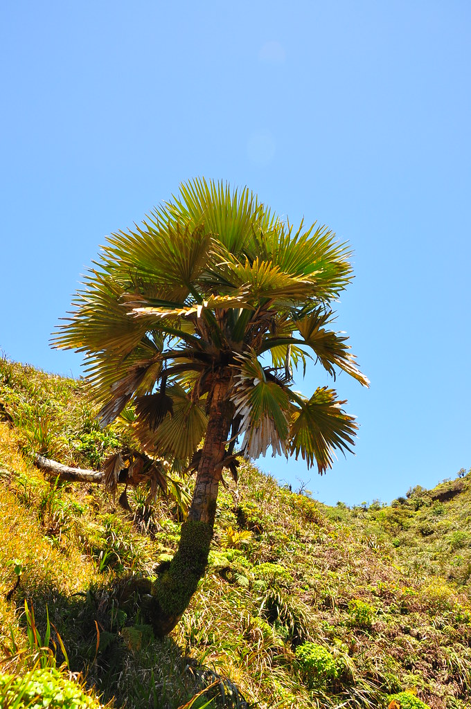
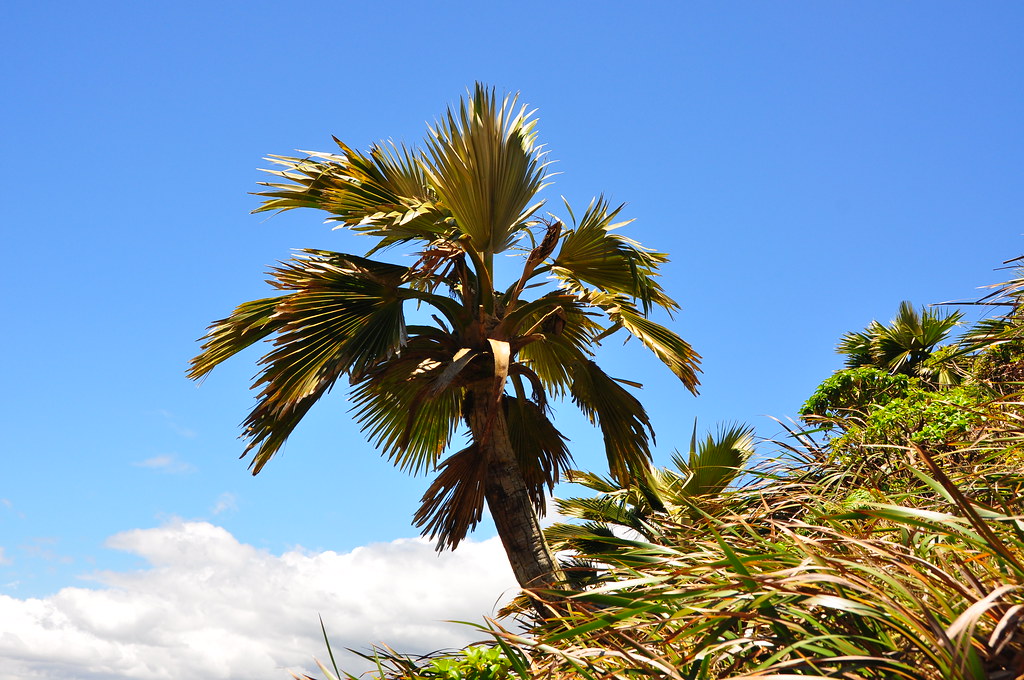
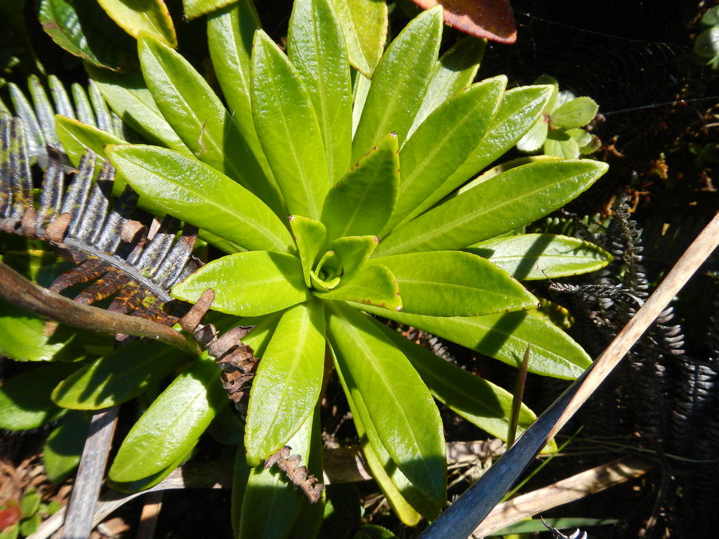
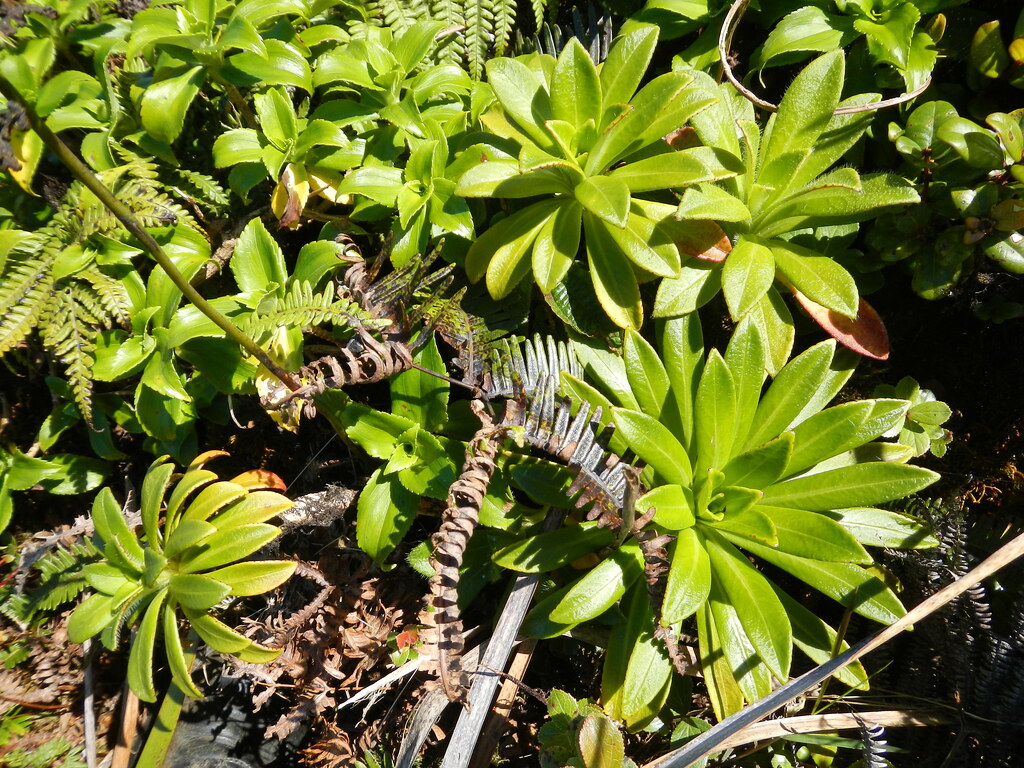
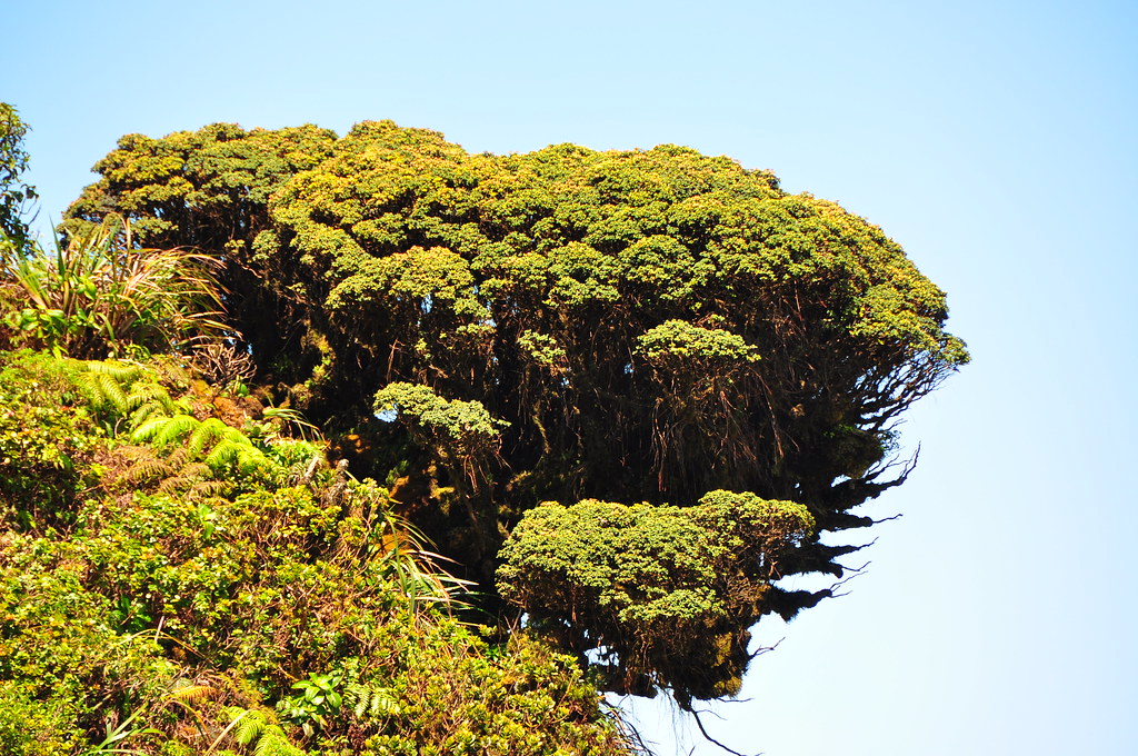
In the upper sections of Waikane and on this section of the KST we'd passed many Loulu palms. These Pritchardia species are the only palms native to the Hawaiian Islands. They were once very plentiful but the introduction of the Polynesian rat which eats its fruit and the Hawaiian's slash and burn agriculture reduced their numbers drastically. Now they are almost completely gone and lower elevations and only sporadically found along the summit. These slow growing palms are sculpted by the winds along the summit and can be pretty dramatic. Unfortunately, I neglected to take many pictures of the more impressive examples.
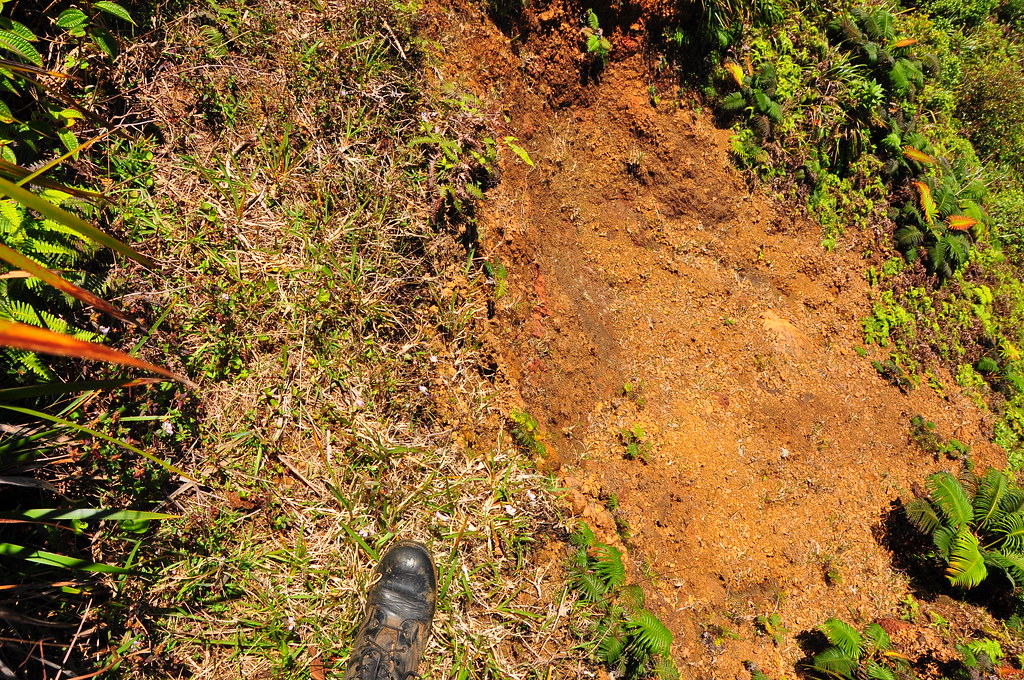
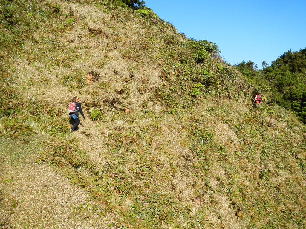
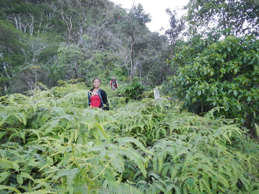
Aside from being a little scruffy, the KST was so far quite passable. While most of the photos look like it's still a nicely graded green sidewalk, it's pretty uneven and that slows progress as the grass hides the uneven ground. There were a lot of trips, slips, and falls along the way. There were a few areas where the trail had suffered from a little slippage but I recall only one section where we had to take a detour. This area had gotten a little narrower.

Completing the contour of Pu'u Ka'aumakua, the KST rejoined the Ko'olau Crest for some awesome views of the windward side.
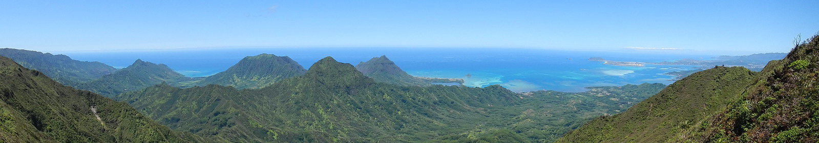 |
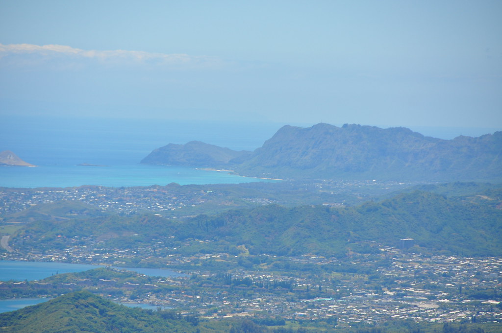
Kualoa, Moili'i Pond, Mokoli'i Islet (Chinaman's Hat), Kahulu'u Pond, Ulupa'u Crater and Kekepa Islet (Below) |


 |
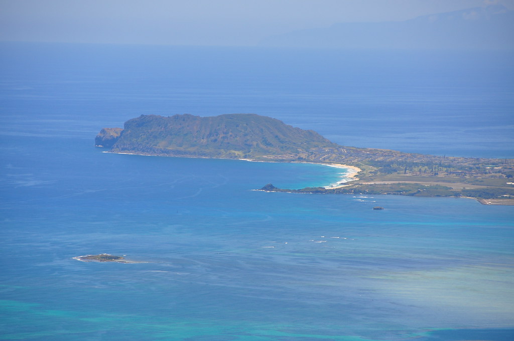
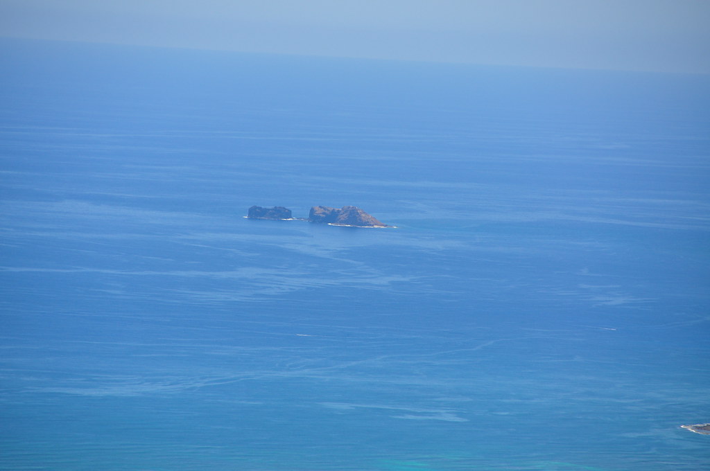
| Olomana, Makapu'u and Moku Manu Islets were also visibly abet a bit hazy from this distance. (Below) |

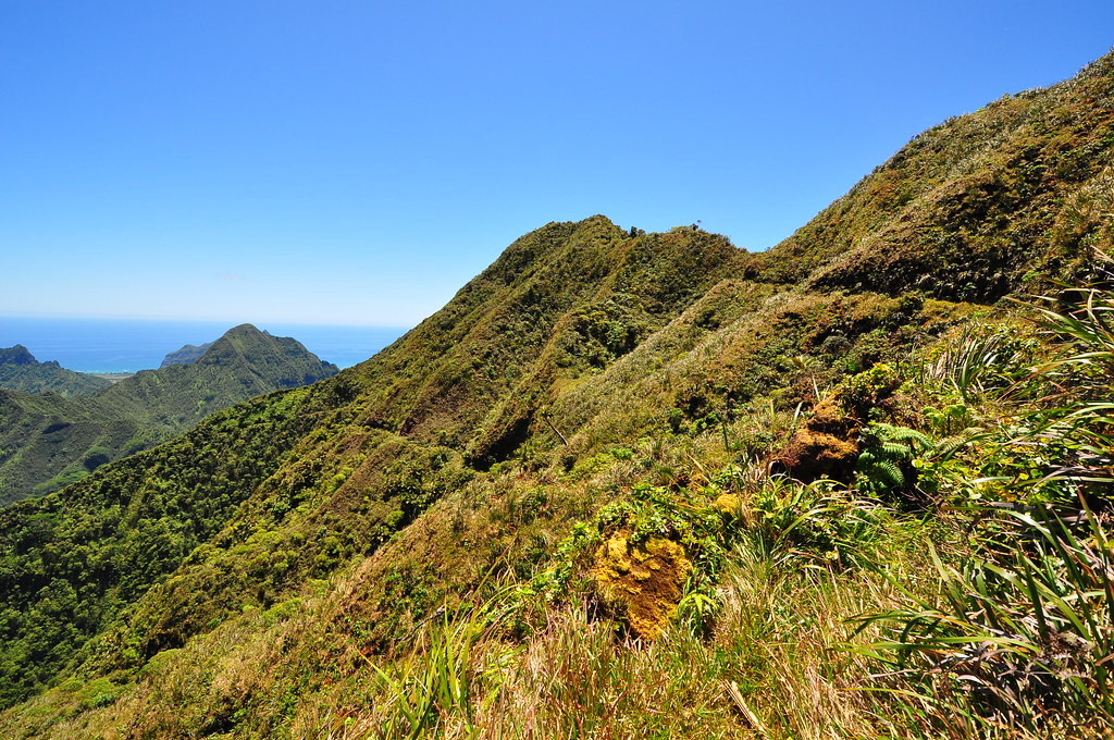
As expected the leeward side of the Ko'olaus was hot and stuffy in the sunny skies with minimal winds to cool us. The slight breeze along the summit was like air conditioning and we elected to do a little ridge walking to enjoy the views and to try to stay cool.
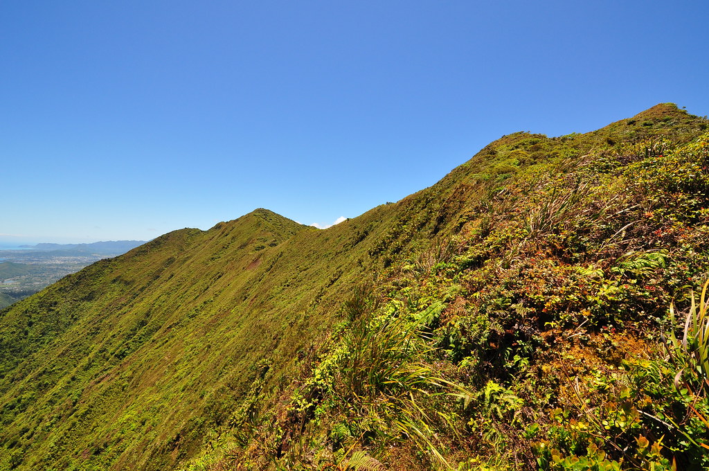
As we continued along the crest the exposure to the steep drops seemed completely reasonable given the view and the cool air. For the most part the going was fairly easy but every so often the vegetation pushed you right onto the very edge where nothing but a handful of uki grass and sure footing kept us from plummeting into the valley below.

I spotted this lobelia growing along the summit. They're most likely Lobelia gaudichaudii, The Ko'olau Lobelia endemic to O'ahu. One subspecies, koolauensis, federally listed as endangered and estimated at less than 252 remaining individuals so we were careful not to disturb them.
 |
| Looking down the northwestern spine of the Ko'olaus |
As the day progressed I got more and more beat up by the uluhe and branches. My legs were scratched and raw and there was a good deal of blood coming from cuts on my arms but the real killer was the heat. My mind drifted to ice water, air conditioning, and finally settled on a huge 7/11 Slurpee. Luckily as we got closer to Kipapa it seemed like the trail's condition improved. Some sections were quite nice.

We passed a large Lehua Papa that was pretty unusual in shape and size. Usually they form a low sprawling tree but this one was big and blocky. Metrosideros rugosa is only found in the Ko'olau mountains on O'ahu.
The windswept valleys meant for easy trail and stunning views. We took a longer break at the head of this one under the cover of some Sugi Pines.

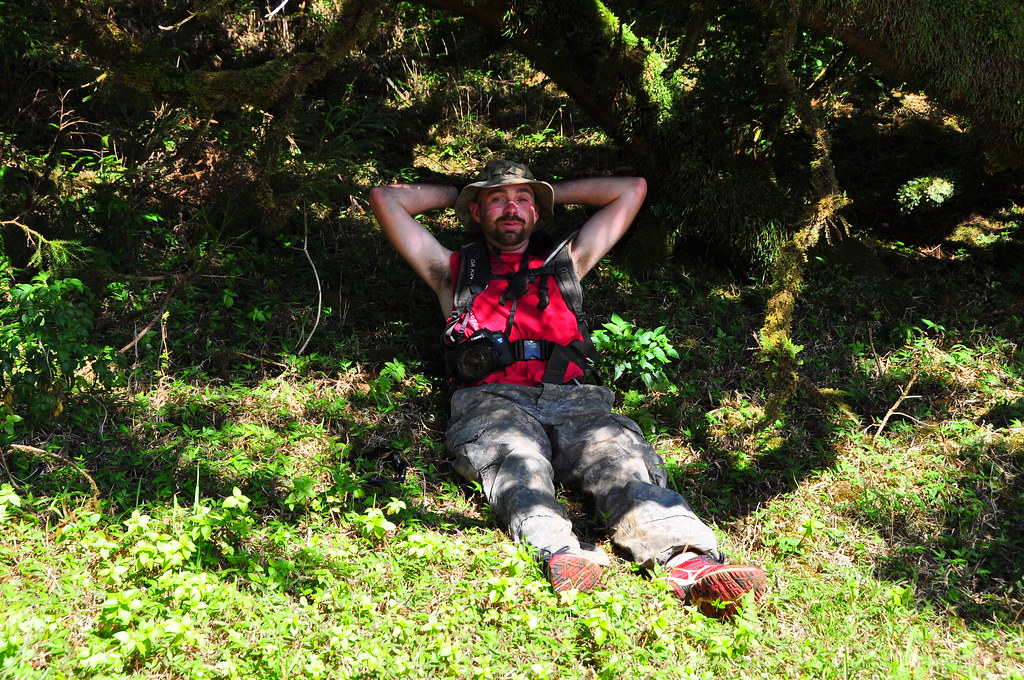
Angus found the perfect cushioned recliner while Miked opted for a shady spot. I dropped where I stood. After we pushed off again we transitioned through this really cool notch. Mike flexed his muscles for the shot!
Shortly after the notch we were on our last few yards of the KST. We rounded this corner to the Sugi Pine grove I'd visited back in January doing the scout for the return leg of this loop. Thankfully it would be all downhill from here.
Leaving the KST we headed up the ridge to the Waiahole Uka Summit. The sun was starting to settle in the west warning us that we had to be mindful of our remaining sunlight. Darkness falls pretty quickly in the shadow of the Ko'olaus and the dense forest of Waiahole Valley.
 |
| Westward view, Waiahole Uka Summit |
 |
| Looking back at the summit we traversed via the KST |

Finally it was time to return back to the urban environment of O'ahu. Mike led the descent down the windward ridge known as Waiahole Uka a few moments before 5:00pm.

The descent was no different than my previous experience but still enjoyable. We navigated the tangle of vegetation and old ropes as we made our way to the valley floor.
The worst surprise for me was at the bottom. The uluhe had completely taken over the lower trail and my already battered legs were really taking some punishment as I pushed through to the bottom of the trail.
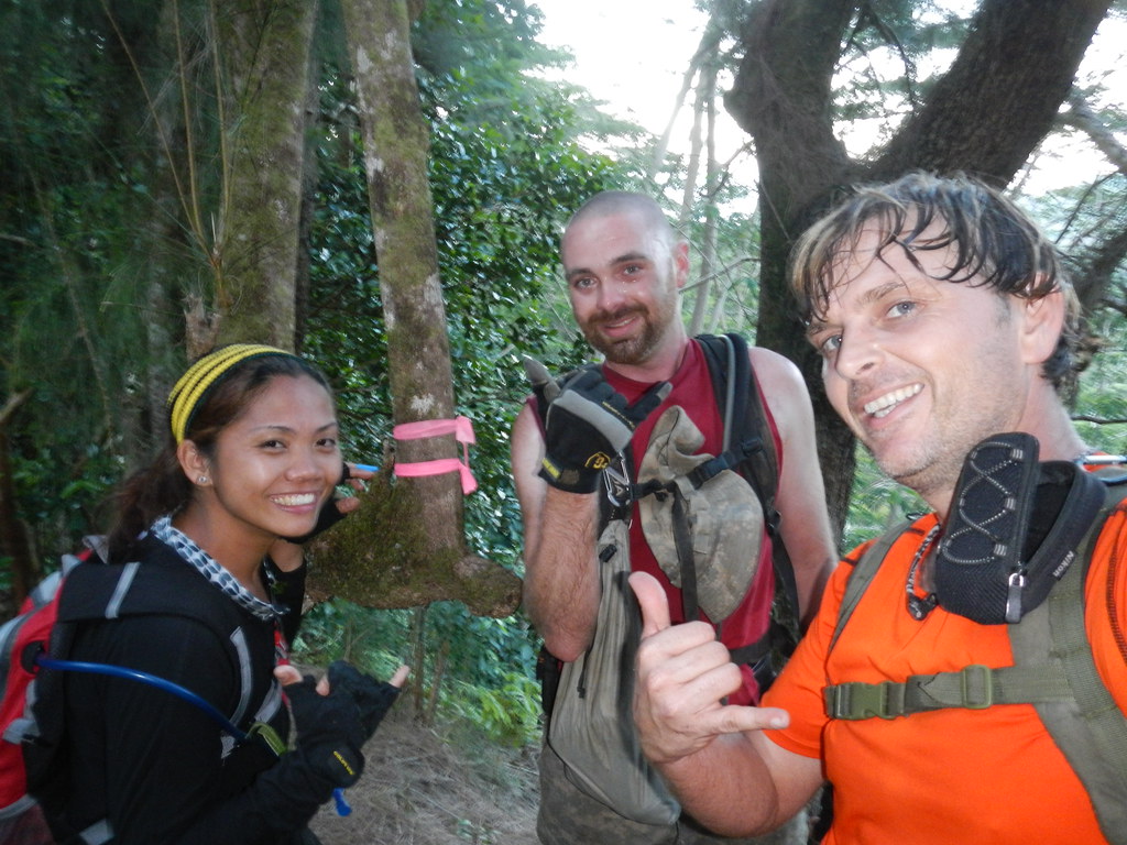
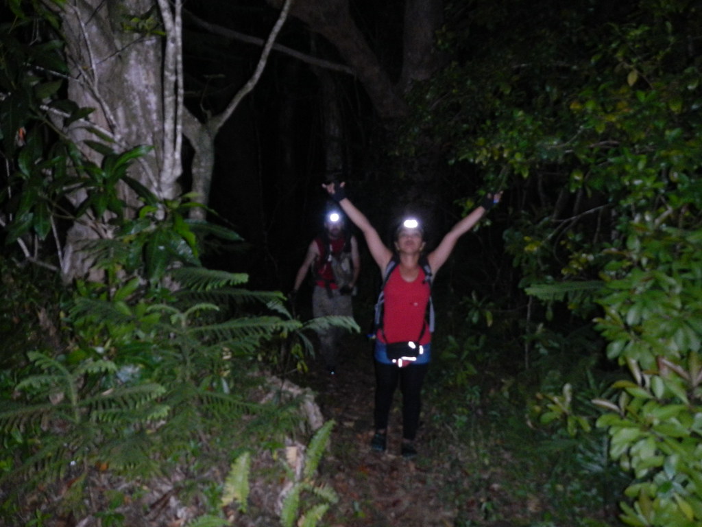
We arrived at the junction with the lower trail at 6:30pm and paused for a picture. We all look a little tired but I see three smiles.
Somewhere along the winding route back to where we'd staged cars darkness fell. There were a couple points along the way I'd been concerned about the vagueness of the trail but I also had a bail out route that thankfully we didn't have to use. At one point we scrambled off our route to avoid being detected by one of the valley residents. This areas is off limits and we felt it best try and leave no trace of our visit. I was able to find all the landmarks and we emerged at the cars at about 8:25pm.
After returned to Waikane to retrieve one of the cars my very first stop was at 7/11 where we'd begun our journey that morning for a very cold and very delicious Slurpee. It was the best one I've ever had.
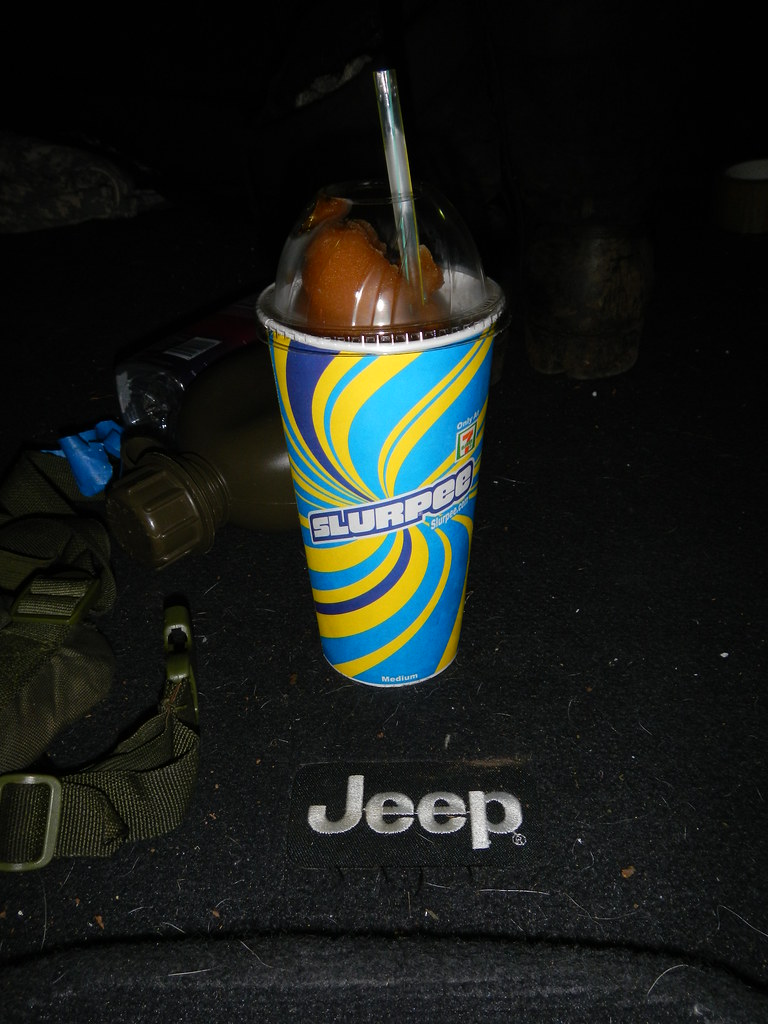 |
| My reward! |
My piecemeal completion of the Ko'olau Summit Trail has taken me far longer than I anticipated and there's more than one segment I'd like another shot at. It's truly an amazing resource and how it's been left to languish and decay is a real shame. For me the biggest obstacle is the mileage to and from the summit trail itself and access issues. Just to get on the trail is a pretty big undertaking and, aside from Pauao, seems to involve either trespassing or permitting. La'ie is about the easiest one to get permission for and Poamoho provides the easiest and quickest route to the KST but permitting is problematic if you work weekends like I do. When I say "completed" the KST what I really mean is familiarized myself with it. There are still other associated trails like Kawailoa, and Kipapa that I have not done but would love to get a crack at. Also, I should be clear that I've just done the Ko'olau Summit Trail and still have a whole bunch of hard work to do before I can reach my ultimate goal of completing the entire Ko'olaus from Pupakea to Makapu'u. I can't wait to get my boots back on it!
More pictures from this trail and others I've done can be viewed on Flickr. Aloha and mahalo for reading!