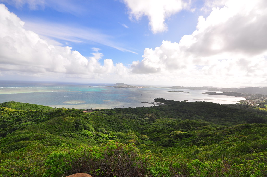
From what I'd read Pu'u Maelieli Trail seemed to fit the bill. It's almost exactly a mile each way and leads to a fantastic view of Kaneohe Bay. I used local hiking legend Dayle Turner's article for directions and a route description.
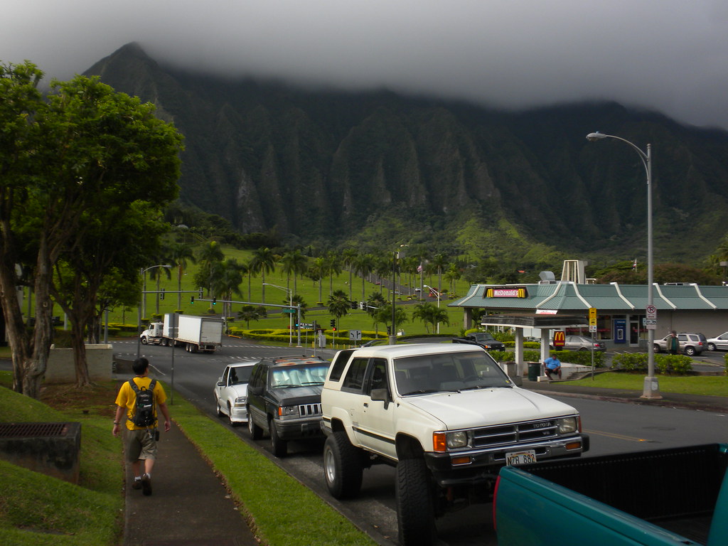
We met at McDonalds in Temple Valley and then parked our cars on Hui Iwa Street and headed down the road to Kahekili Highway just like the article said to.
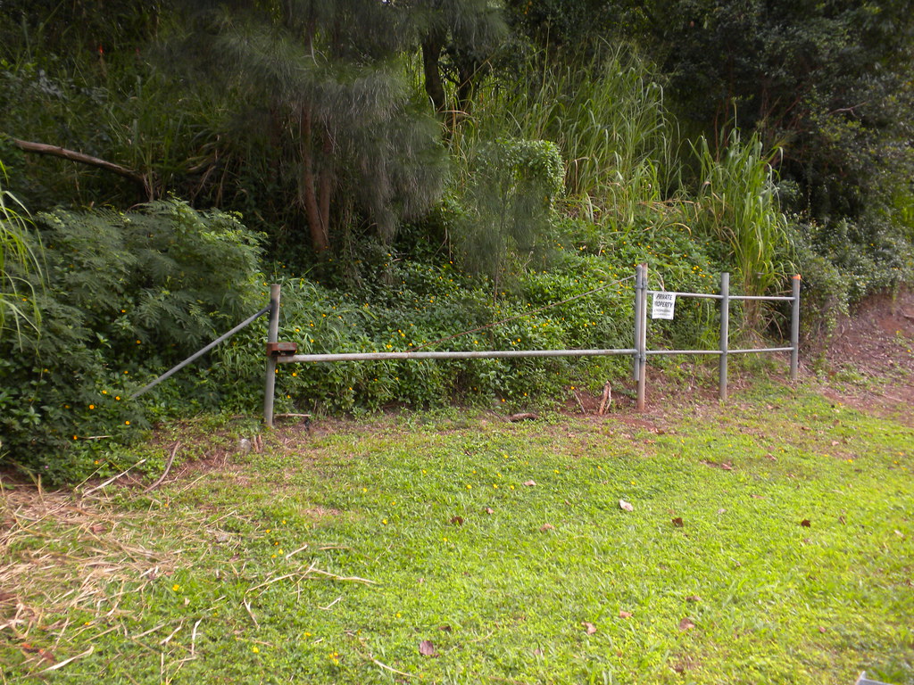
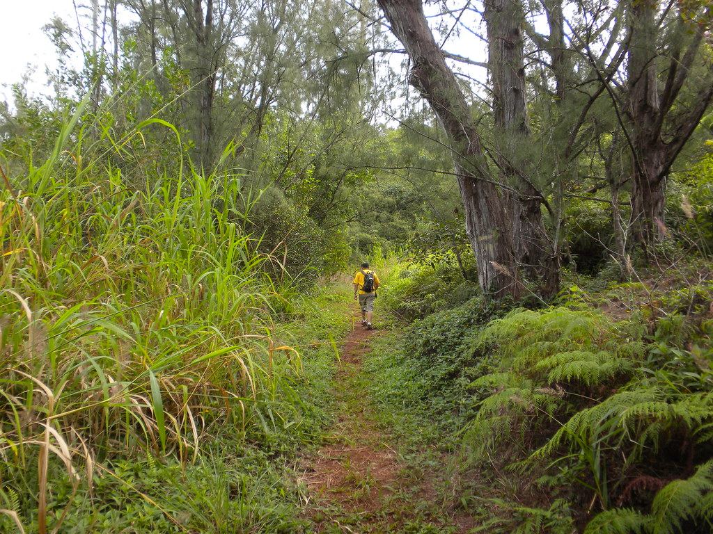
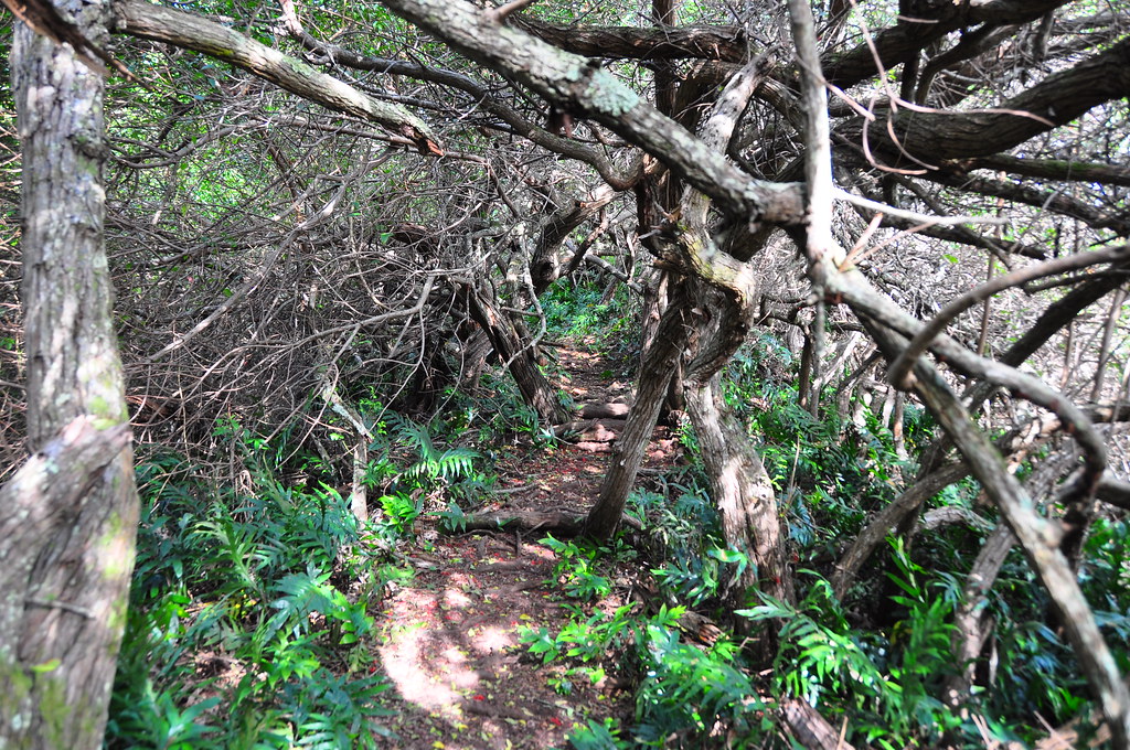
As promised, there was a trail just past the condos. There's also a metal gate with a No Trespassing sign too. Ignoring it, we took the obvious trail and began a slow climb. It was definitely the remains of an old road and as it reached the ridge we took the left path towards Kualoa.
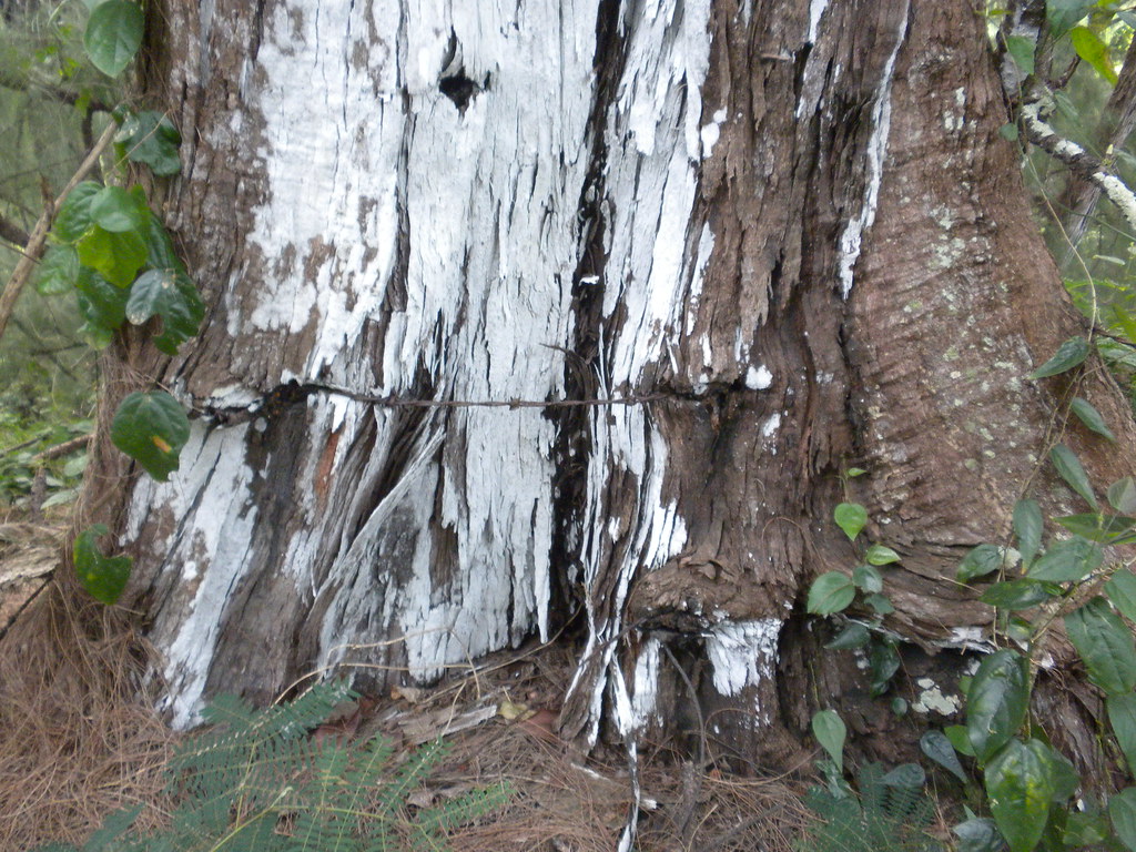
There were several paths that lead off to the right but we ignored them and continued along the ridge. I noted where an ironwood tree had engulfed barbed wire strung around it years ago.
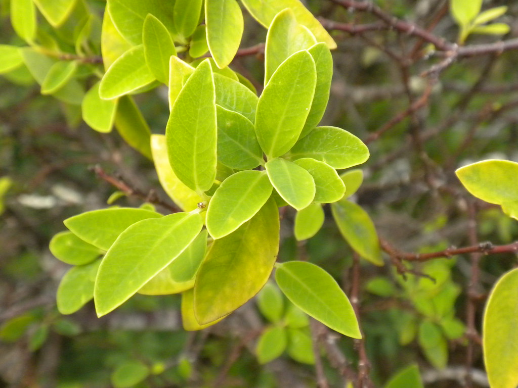
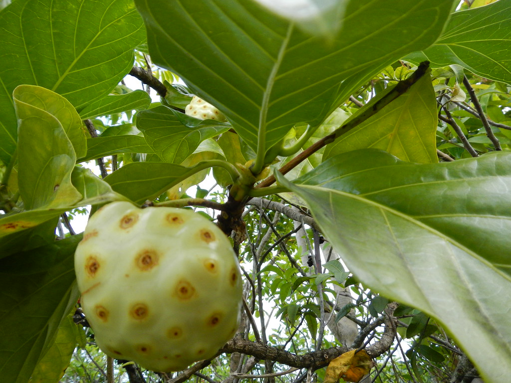
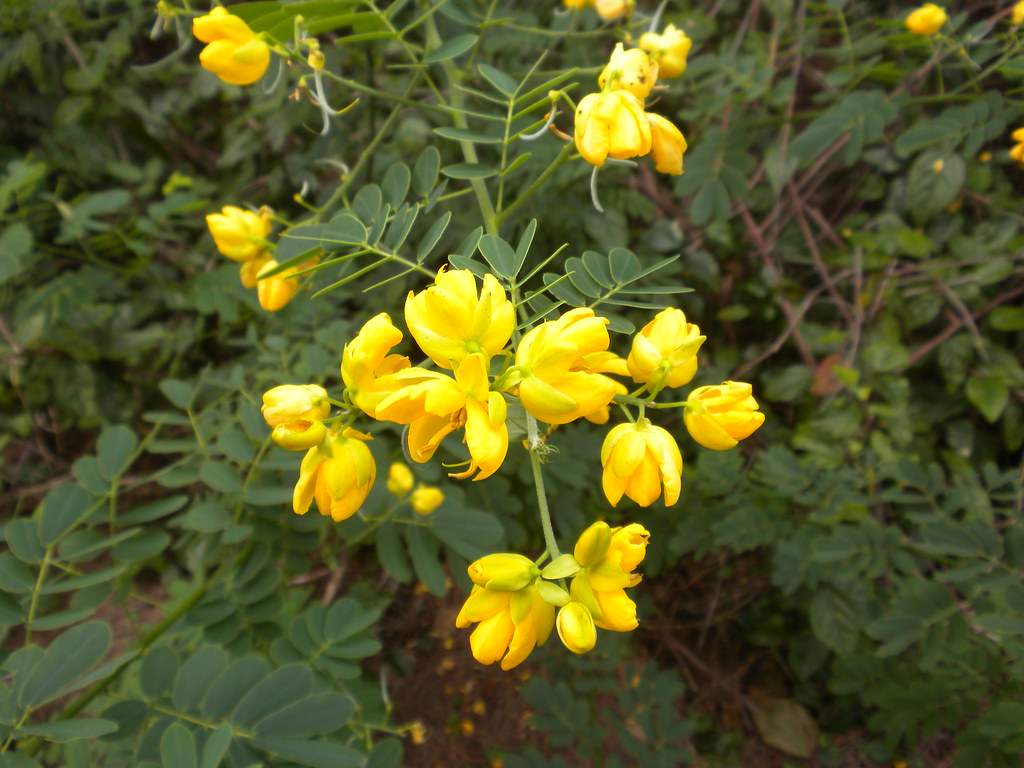
The road dipped sharply down and the stiffly up. Despite the high overcast conditions the lack of a breeze made the climb a hot one. The vegetation trailside was mostly introduced stuff typical of the low lands like ironwood, haole koa, chinese violet, ect. but every once in a while there was a surprise like noni or akia.
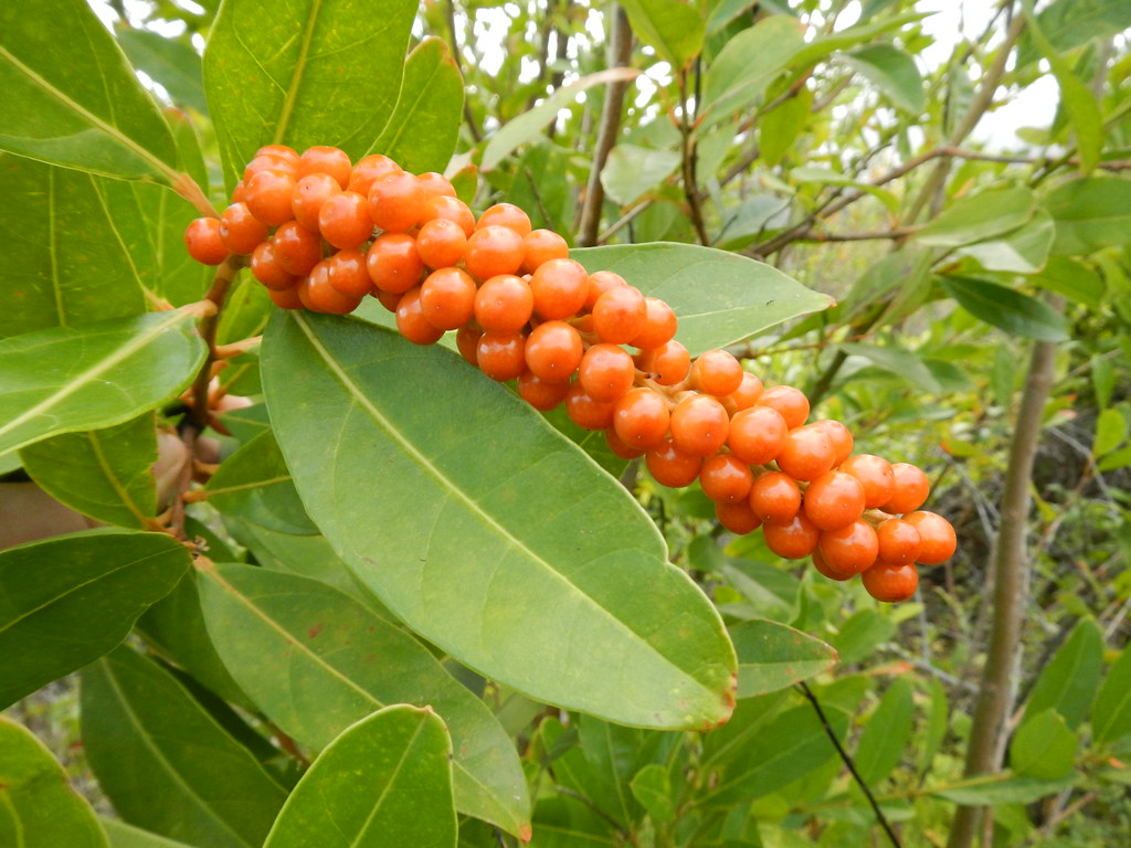 |
| Nasty fiddle wood! |
Further on, the trail meanders under some Christmas Berry, another invasive pest.
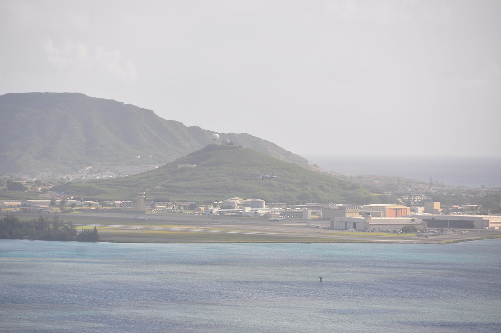
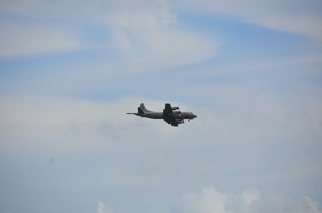
We heard the unmistakable sound of one of the Navy's P3 Orion anti submarine patrol planes droning overhead and a break in the vegetation gave us a view of it and of Kaneohe Marine Corps Air Station across the bay.
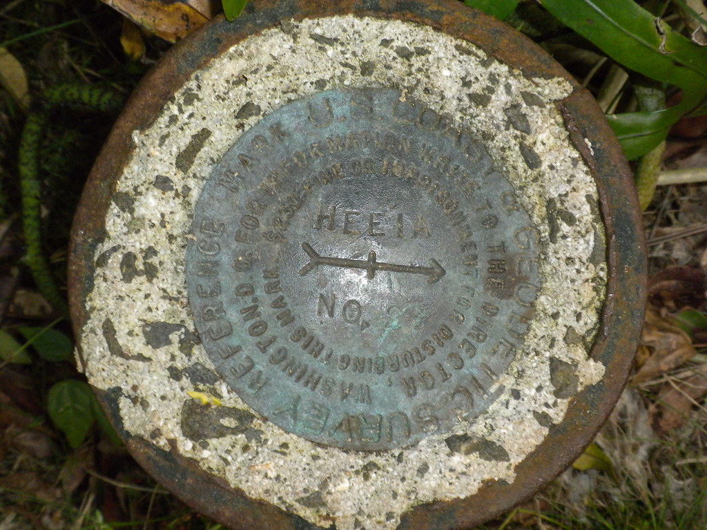
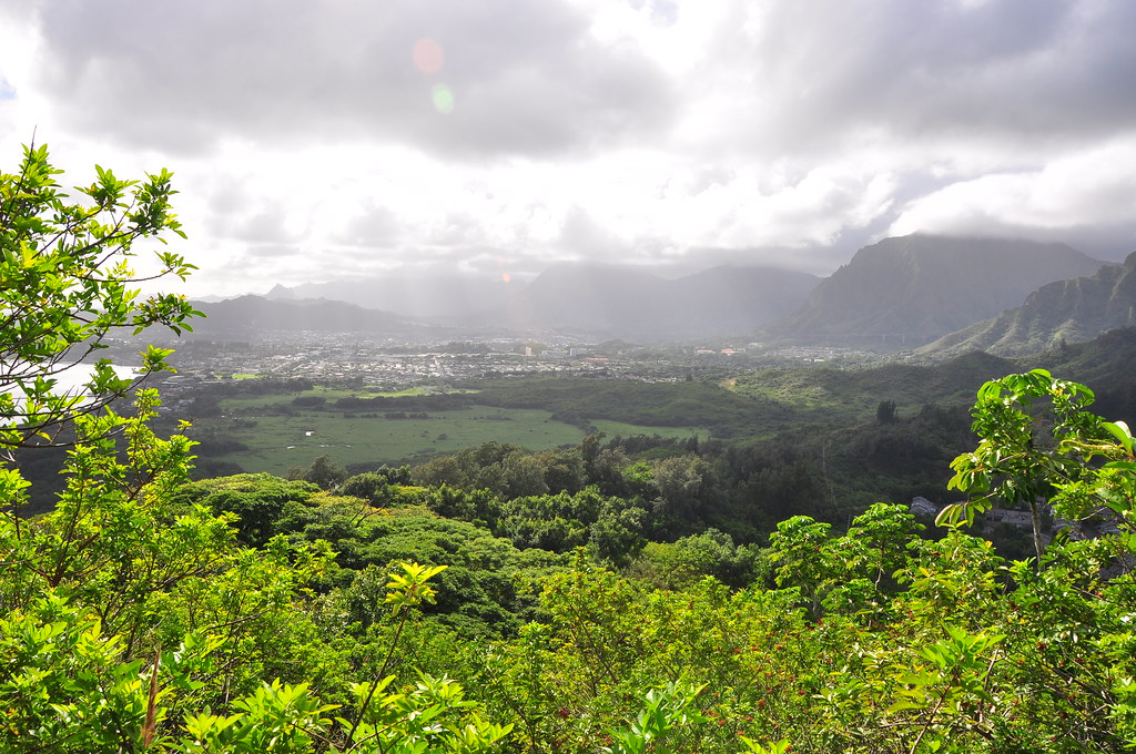
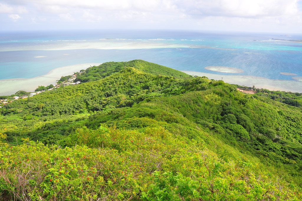
Making the final climb to the summit we looked back to this fantastic view of Kaneohe across a large wetlands fed by He'eia Stream.
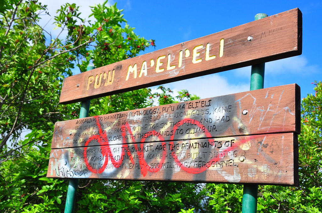
Eventually we reached the top of Pu'u Maelieli. At the summit this sign explains the meaning of Ma'eli'eli and alerts you to the areas history as He'eia Combat Training Area in World War II. It's interesting to noted the gods Kane and Kanaloa raced to the top of this hill. My knowledge of Hawaiian mythology is a little sketchy but I'm assuming this was during the time when they traveled the islands digging up springs.
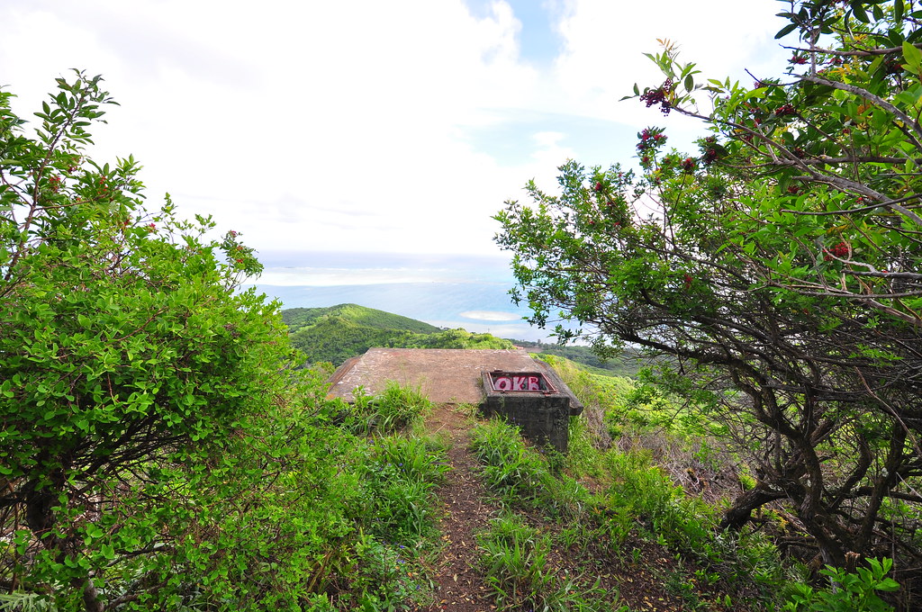
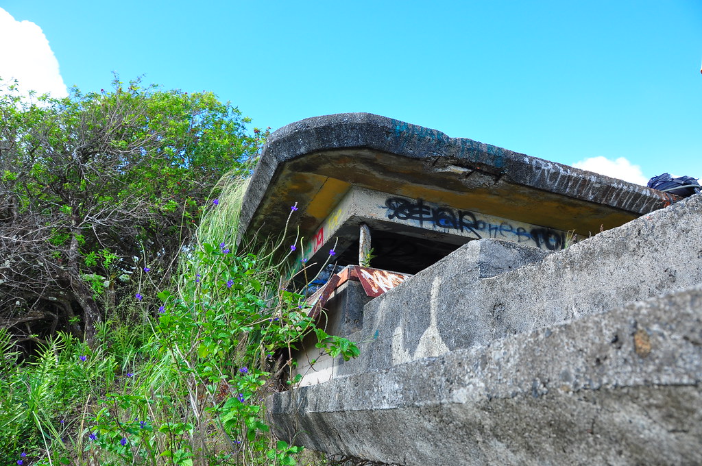
Just beyond the sign the old WWII era fire control stations that help direct fire from the various coastal artillery defenses of windward O'ahu awaited. The complex is known as "Fire Control Station 8".
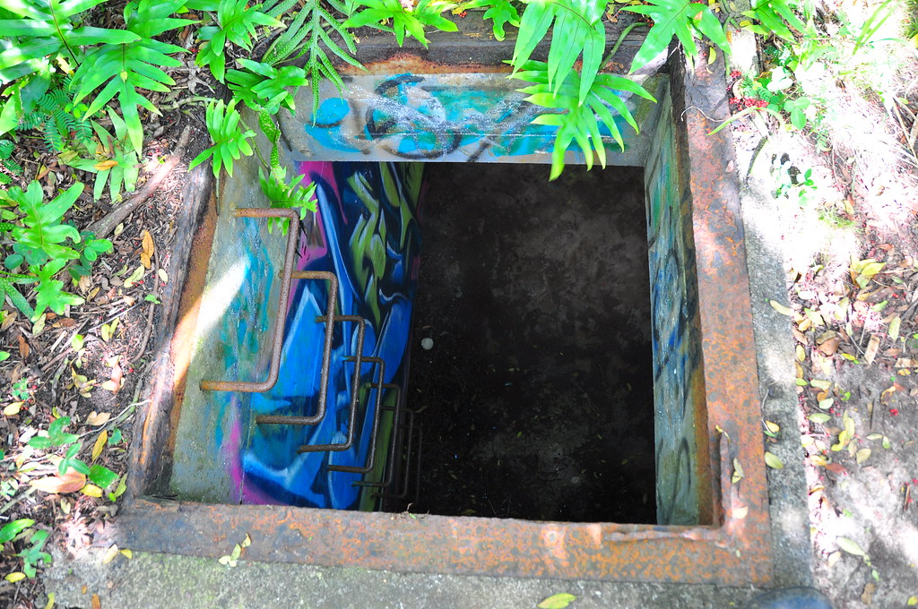 |
| Entrance to the first bunker |
 |
| Optics mount |
 |
| Inside of the first bunker |
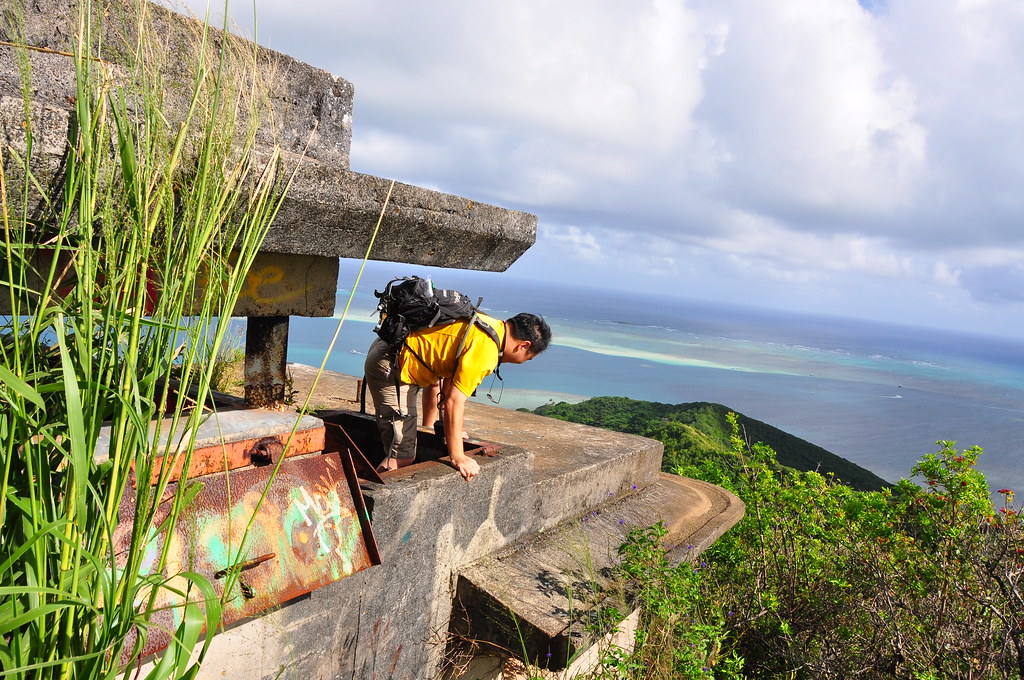
The views from the last set of bunkers is fantastic!
We dropped into both the bunkers to explore them and sat on the edge of them soaking in the beauty of the bay below.
I had a feeling that there was more to be discovered along the feint outline of the old overgrown road that makes it's way up from the makai side of the ridge.
Looking at this historic picture of Camp He'eia I'm guessing there are all kinds of things hiding in these hills.
 |
| "Borrowed" from http://www.poh.usace.army.mil/env/env-projects.htm |
More pictures from this trail and others I've done can be viewed on Flickr. Aloha and mahalo for reading!


Being a local haole (from another island) and stationed at K-Bay from 81-84, one would figure I would have done some hiking. Can't say that I did. Did a lot of surfing though.
ReplyDeleteThose are some really nice photo's and video. So green and fresh outside. Funny with all those no trespassing sign's and all. I guess the folks with the spray paint can's found that bringing paint instead of water (and gps) is more better?
Great photos. We recently hiked on the makai section of that trail (in a valley heading up from the ocean), and actually found a bunch of old WWII hand grenades and bazooka rounds laying on the ground. The local police sent a bomb squad up and we had to show them the location.. Was a memorable hike.
ReplyDeleteGlad I found your blog, will look over your other hikes..
sad to see you no longer blog..
Wow, exciting hike! Any pics of the old ordinance?
ReplyDelete