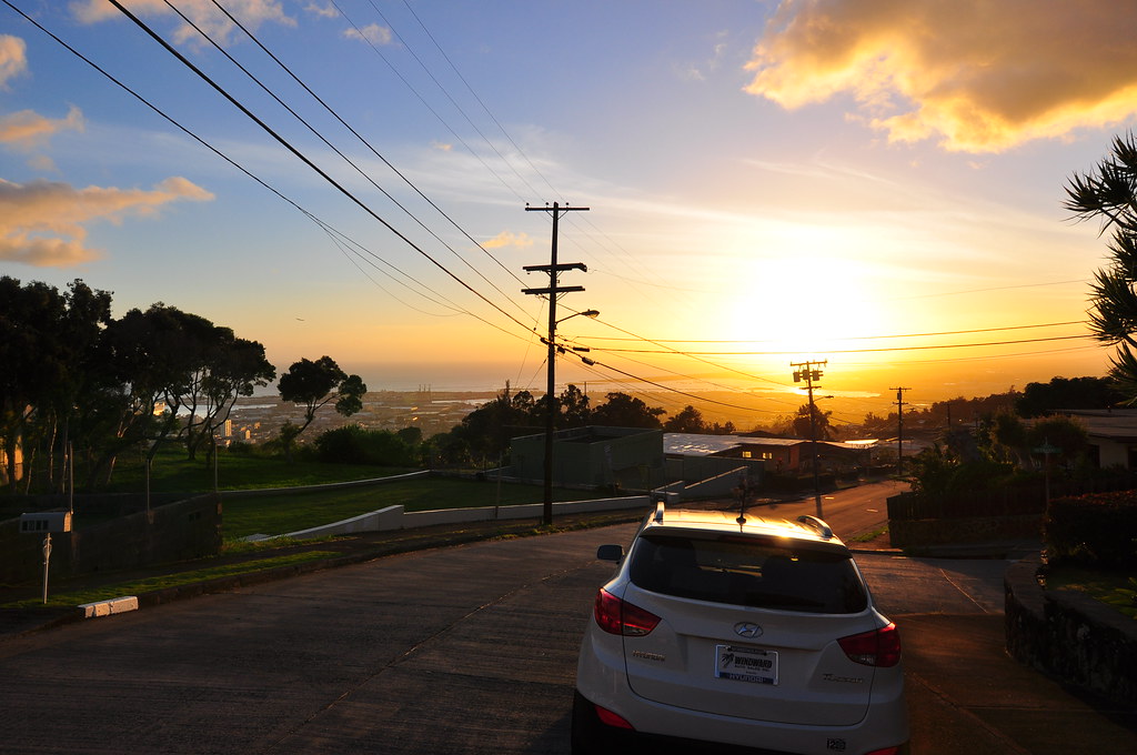
February 8, 2011 Kamanaiki Ridge Trail Revisited via Na Pu'eo Bypass, Kapalama Loop, and Lanihuli Trail.
Back in November of last year I made a mistake. Early one Sunday morning the weather looked great and I had an entire day to go and do whatever I wanted. I headed out the door with Stuart Ball's Hiking O'ahu book and as I filled up my car at the Shell station in Kailua I flipped through the pages trying to find a hike to do. I ended up on Kamanaiki Trail. I didn't read the entire description and what followed was a frustrating, hot, and miserable afternoon wading through uluhe ferns and encased in seemingly endless strawberry guava. As I made my way up the ridge that day I figured I would hit the ridge running up to Lanihuli from Alewa Heights. Visions of me on top of Lanihuli pushed me deeper and deeper into what was obviously a neglected trail. Finally, tired and miserable I did a Google search for Kamanaiki Trail and came up with Dayle Turner's description. Realizing that the normal trail had ended a while back I threw in the towel and reversed course. I learned a pretty valuable lesson from that hike- know what you're getting into. Now I try and read at least a couple write-ups on trails before I do them so I don't repeat that experience. I didn't have much nice to say about this trail when it was all over when I last reviewed it.
 |
| Na Pu'eo Bypass Trail |
 |
| Happy ribbon |
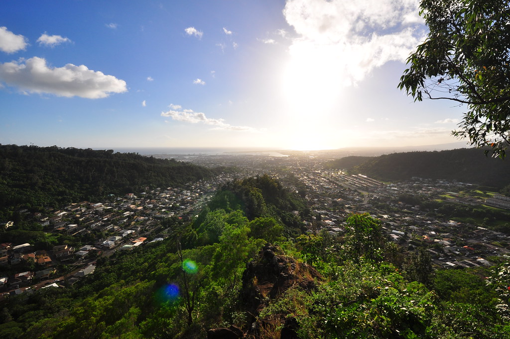
Last week I did Lanihuli and saw how close I had actually been to finishing Kamanaiki Ridge that hot November day. Today's original hiking plans had been canceled due to the bad weather but the rain had stopped and the sun was shining. By 9:30 I was already bored and knew I couldn't stay home now that the clouds had cleared. With my recently gained experience with the Na Pu'eo Trail, Kapalama Trail and the Lanihuli Trail it was time to pay Kamanaiki Ridge another visit.
The trail began at Na Pu'eo Park in Alewa Heights at 10:50am. I headed straight for the trail I had spent an hour looking for last week and followed my new ribbons up to the Kapalama Loop Trail. The only change from last week was that the ground was gooey from the recent rain.
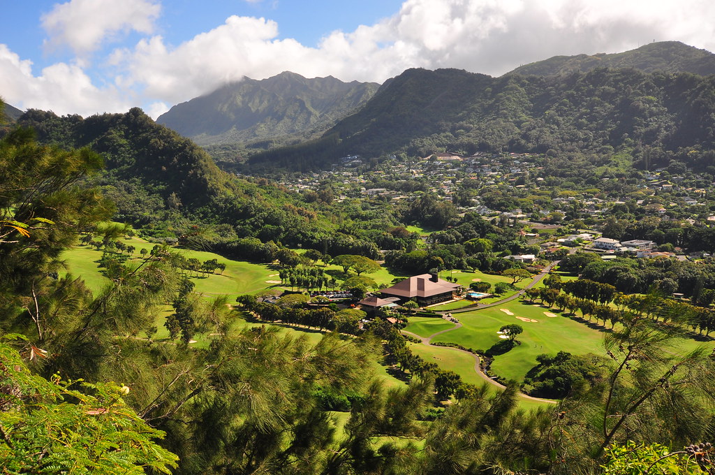 |
| Nu'uanu Valley and O'ahu Country Club |
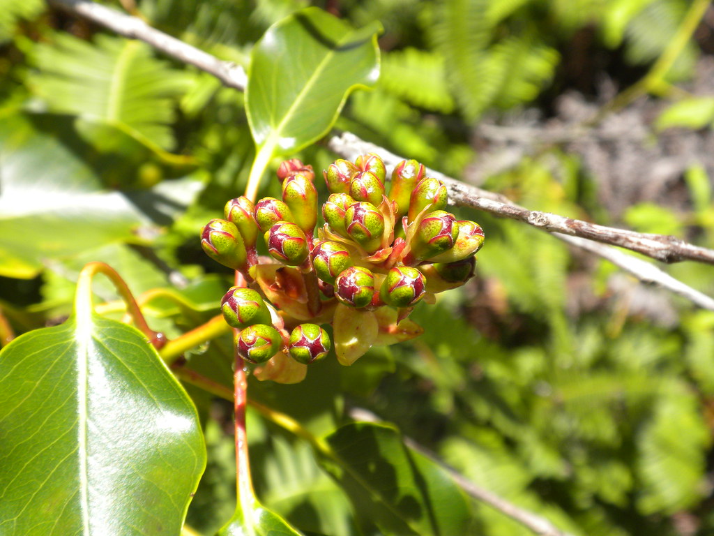 |
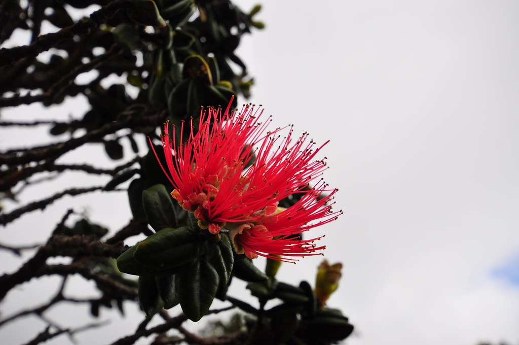
| Ohia budding (M. Macropus) |
Even my panama sole jungle boots were choking on this stuff! About 20 minutes later I arrived at the Kapalama Loop Trail junction. I dropped my gear and ran down the loop trail to retrieve the ribbons I had placed last week when I missed the Na Pu'eo Trail junction and ran back to my pack. Since I'd been on this trail so recently I didn't spend much time taking pictures or looking at things. I did note the damp smell of eucalyptus hanging in the air though. The later start also had me moving a little quicker because I didn't know how much time I'd need to come down Kamanaiki Ridge and I really wanted another shot at the summit of Lanihuli. Two hours after I started I was at the big gnarled koa tree where the Lanihuli Trail started. It was now 12:47pm. I sat down on the ancient tree and thought about my options. There was also that HMTC trail down to Nu'uanu valley I could do which would probably be shorter than the Kamanaiki trail and that might even allow for enough time to get to the summit. Then again, a new trail at the end of the day with only the barest of descriptions didn't seem like a great idea either. Sitting on the tree wasn't getting me closer to the top so I continued up the trail after catching my breath.
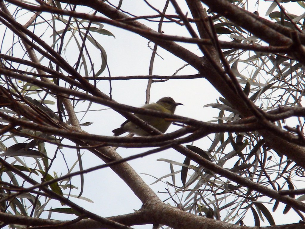 |
| 'Amahiki in koa tree |
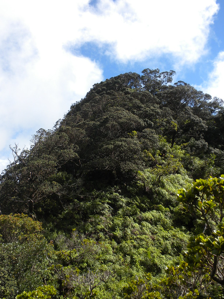
The initial sections of the Lanihuli Trail were just as fantastic as they were last week. The number of large ohia trees and the endemic birds flitting from one branch to another are hard to ignore. I managed to get a shot of what I believe is an Amakihi in a koa tree. The butterflies were also out in full force and I spotted two of the humming bird butterflies. Despite my rush I couldn't help but pause here and there to enjoy the beautiful scenery around me.
About an hour and a half later I arrived at the Kamanaiki Ridge junction. I decided to scout ahead and take a look at the summit and determine if it was possible to do both the ridge and the summit. When I arrived at the rope section with the long double rope/cable combo I paused to make a decision. It had taken me an hour and forty minutes to get from the summit to the top of the Kapalama Loop Trail last week and it was almost the same time I'd left the summit now. I figured that I could make the summit and get down before dark with time to spare if I returned the way I came but going down a new trail, especially one that wasn't in good condition meant I needed a buffer. My grudge with Kamanaiki Ridge won and I turned back to the junction. I attached a new ribbon at the junction and crashed through some strawberry guava and onto Kamanaiki Ridge.
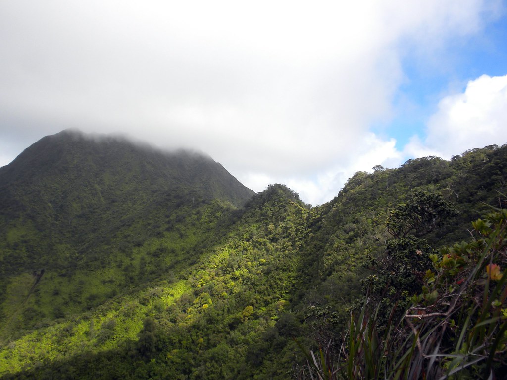 |
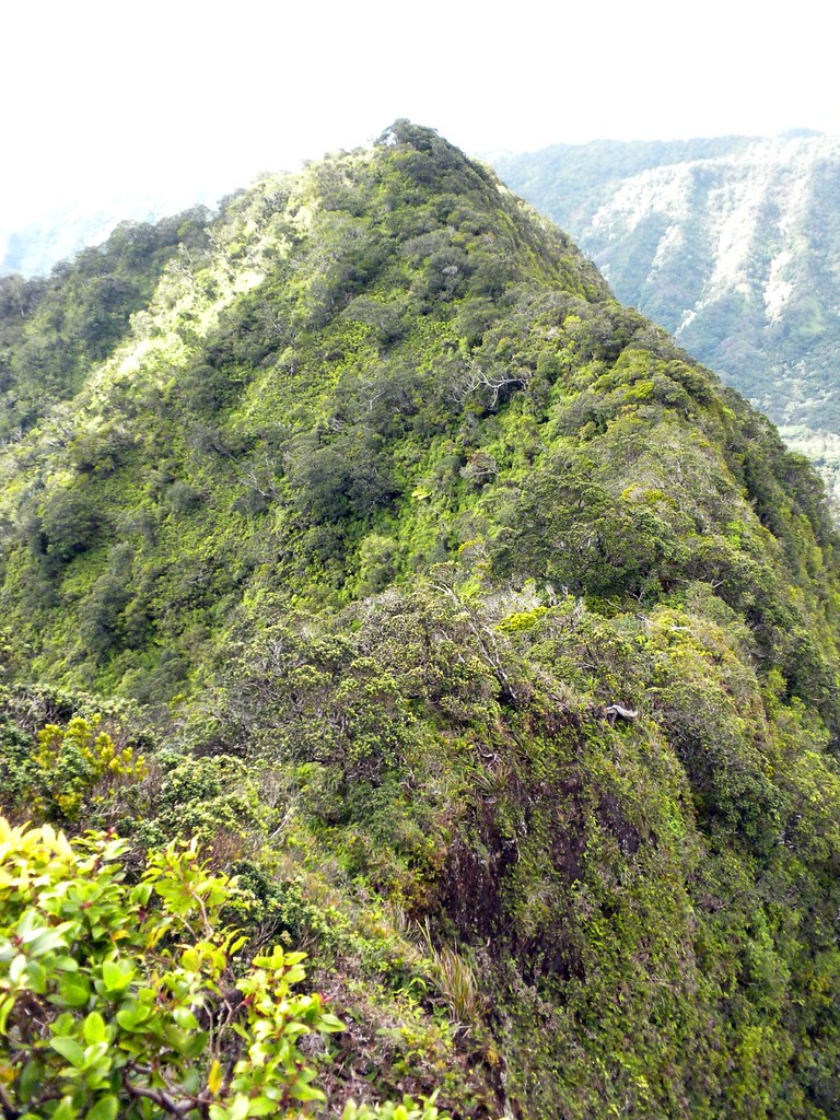
| Lanihuli viewed from Kamanaiki. The first dip is the double rope/cable section and as far as I went today before turning back to Kamanaiki to settle the score. |
Kamanaiki Ridge 2:00pm
 |
| Kamanaiki Trail- Looks promising right? |
 |
| Initial section of Kamanaiki |
 |
| Looking back up the initial descent |
 |
| No discernible trail on this segment |
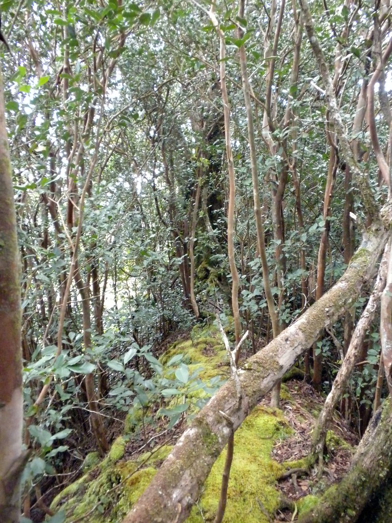
There was no discernible trail after about 4 feet of leaving the Lanihuli Trail. Ridges are easy though, there's nowhere to go but on the ridge so I worked my way downwards.
There was enough vegetation that I was having a hard time telling which way the ridge line was going and only 30 yards in and I was having to back track to get a better view of the terrain.
With a fresh idea of the layout, I continued back down and ended up on a steep cliff edge. There were enough trees that I was able to keep hold of something the entire time. Slowly and painfully I fought my way through the uluhe ferns and tangles of ohia and koa trying to do as little damage to things as possible. At one point I became completely entangled in uluhe as I slipped down a steep section and struggled to free myself from it's grasp.
 |
| Uluhe fern everywhere! |
 |
| Leggy Ohia tree |
There were some really fantastic ohias on this ridge. One had some serious legs on it so I had to stop and take a picture. I kept my Nikon in my bag because I was still concerned about time and dragging that big guy out and putting it back takes too long. I don't know how long it took me to get back to where I'd thrown in the towel in November but it felt like a long time. Every once in a while I'd get a feeling that I was on an old trail but I can't be sure. Later into the bushwhacking I definitely saw signs of pig activity so the "trail' was I was seeing could have just been from the pua'a.
 |
| Cable section where things improve a little |
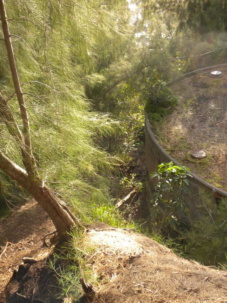
It wasn't until I reached the cable section that things began to improve. At times I was up to my neck in uluhe ferns that kept untying my boots, scratching me, tripping me, and even opening up my pack. Even after the rope section things only improved a little. Here it looked like someone had tried to open the trail up so I picked up a little speed only to find myself immersed again. The ridge's ups and downs continued as I fought on and entered large stands of strawberry guava. It's pretty strange to be walking on a ridge as wide as your body
without any kind of worry because had I slipped there was so much strawberry guava I would have caught myself instantly.
 |
| Strawberry Guava ridge with Koa tree. |
Right in the middle of the ridge there's a huge koa tree with a truck as wide as the trail I had to go around. Continuing onward still concerned about the time I had forgotten about the beehive on this trail. This time I was coming downhill and there was no warning other than the immediate flurry of activity as I passed about a foot from the entrance of their busy hive in a large tree in the middle of the trail. I was buzzed by a couple of them but kept moving and they didn't attack.
 |
| Face height bee hive |
Eventually I reached what is the end of the normal trail, as advertised, at a large ohia and a fallen koa. From here on out it was smooth sailing. I could actually see the ground again! I really started to pick up speed and barely stopped for anything. I did pause once to check out some iliahi, sandalwood, trees but that was about it. The sounds of Kalihi Valley intensified as I made my way back towards civilization. Cars, chickens, dogs, and screeching tires all warned me that I was getting closer to the end. A quick call was made to Mrs. XJ to let her know that I was almost done. I figured I was about forty-five minutes from Manaiki St. and it would take her about that long to load up the kids and get there.
 |
| Approaching the turn around point of the normal Kamanaiki Trail from up the ridge. |
I passed the small segment of this trail that I like and tried to enjoy it a little. Most of the end of the trail is introduced invasive stuff like christmas-berry, iron wood, eucalyptus, ect but this little section is filled with ohia although not as old and impressive as the stuff further up the ridge. Continuing on I began to question my timing and the last thing I wanted was an angry wife waiting with to small kids so I really picked up the pace and almost ran down the rest of the tail. Once I saw the short steep section I knew the water tank near the beginning of the trail was close.
 |
| Top of the small climb segement looking down the remaining ridge. |
 |
| The watertank |
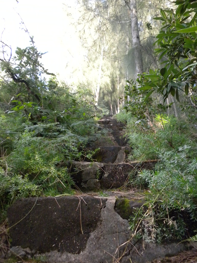 |
| Lava rock steps |
I climbed down the rocks and a short while later spotted the watertank and the hundreds of spray paint cans people use to decorate it. The lava rock strairs started, then stopped. I figured I should try to count them. There are 152 continuous steps, by my count which may be a little off, with another 12 or so in another section further up, from Manaiki St to the water tank. At about 5:30 I walked down Manaiki St and waited for my wife to pick me up and take me back Alewa Heights to retrieve the other car.
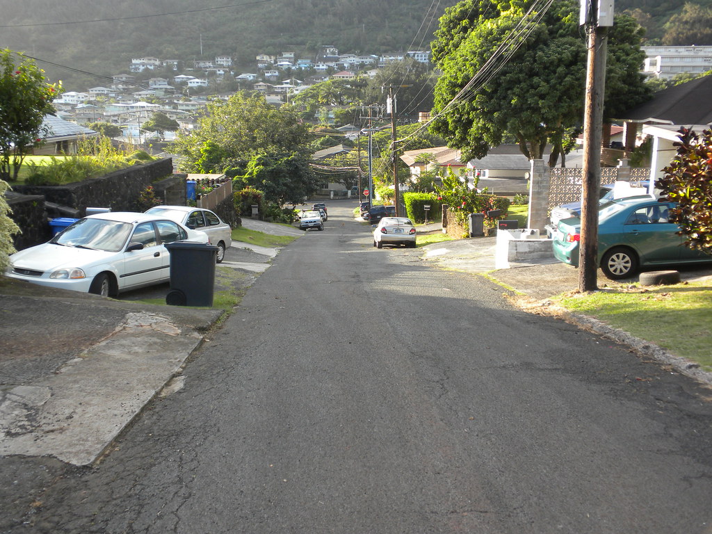 |
| Manaiki St and the end of Kamanaiki Ridge Trail. |
The most disappointing thing about the trail today was not topping Lanihuli. It sucks to be that close to the Ko'olau Summit that I love and not get to spend some time there. However, Kamanaiki Ridge and I have settled the score and that made it all worth it! With a whole lot of clearing this ridge trail could be another way up Lanihuli and would take about the same amount of time as Kapalama Loop.
 |
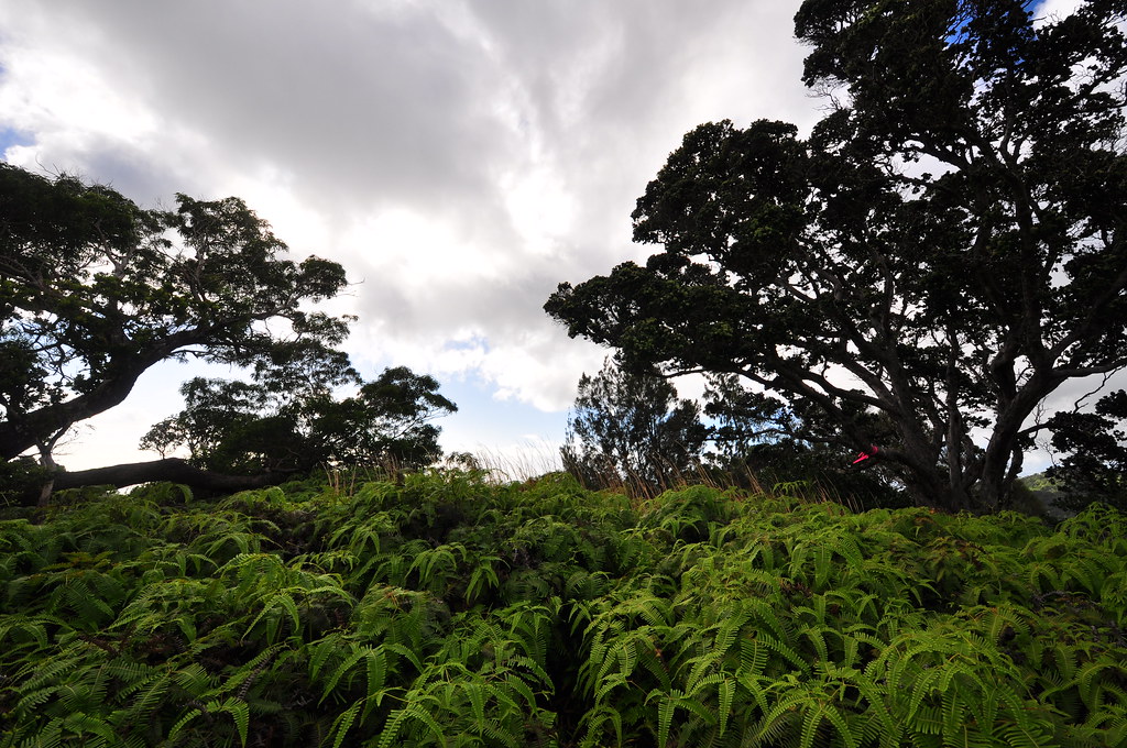
| Last shot of the day... back at Na Pu'eo Park |
More pictures of this trail and others I've done are can be viewed at Flickr. Aloha and mahalo for reading.

very nice! how long did it take you to do the whole thing?
ReplyDeleteA little under 6 hours. I usually move pretty slowly checking things out, taking pictures, and enjoying the views but I didn't do too much of that today.
ReplyDeletenice! but that's how we are too with taking pictures and all that stuff. We should get together and do a hike sometime?!
ReplyDeleteI hit a trail every Tuesday which is pretty terrible for most people's schedules but if it works out for you let me know. I've got a weekend off in March and I'm hoping to attend a HMTC hike: PU’U KA’AUMAKUA which looks like a good time.
ReplyDeleteClimbing a hill top then looking at the whole town from the top is great. Travellers love climbing to reach hill top and enjoy lovely view of the town.
ReplyDeleteManchester airport cheap parking