October 18, 2011
After the success of finding the old Kahuku Ridge Trail and a route to it from La'ie the failure of not completing the trail was still stinging almost a month later.
On that hot Monday in the hills above Kahuku I'd simply burned out all my energy. To top it off I was was coming down with a cold too. As it turns out, turning around was absolutely the right decision even though I'd been kicking myself ever since I'd made it.
Still intent on completing the old trail I had formulated a new plan. Instead of retracing my steps we elected to incorporate the Ko'olau Summit Trail's Pupukea segment. Knowing the way out both from memory and with the way-points in my smart phone, I felt pretty comfortable attacking Kahuku from the junction with the KST.
 |
| Paperbark forest |
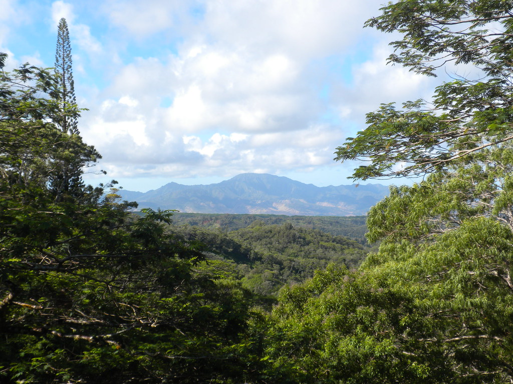
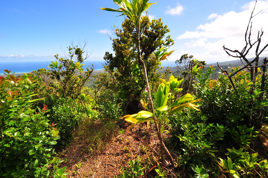
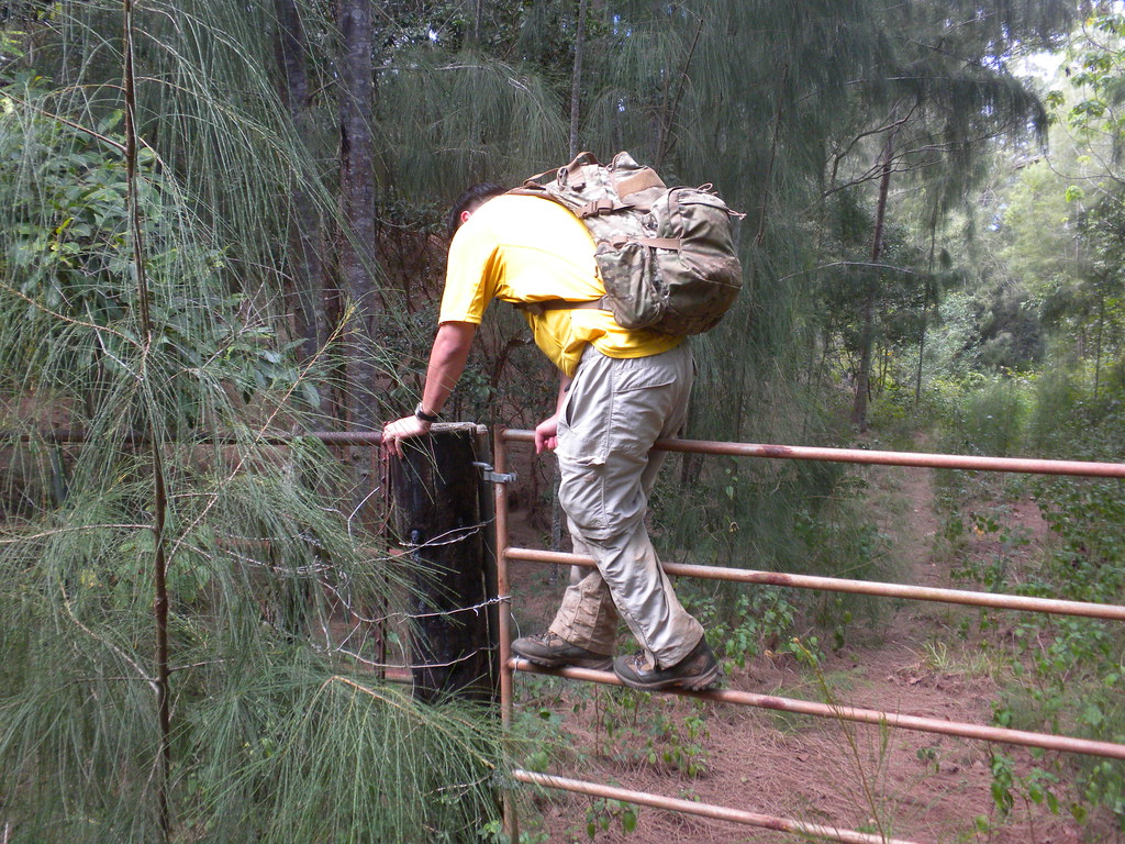
After leaving a car at the La'ie Field we headed up to Pupukea and parked near the Boy Scout Camp. We started up the Army's road at about 8:30 am after I had taken a couple pictures of a feral hen cruising the road. The signs warning us that we were entering the US Army's Kahuku Range we were mere decorations as we climbed over the yellow gate. Nobody else seems to care either because there was a lady walking her retriever and a guy jogging beyond the gate. As we had before on our Pupukea to La'ie adventure, we followed the paved road passing a covered picnic table and then a second metal gate. The views from the road were still amazing as we passed through a mixture of endemic and introduced forests.
Along the way I climbed a small embankment to take a couple pictures of the beautiful views of central O'ahu and the North Shore area.
 |
| Looking southwest towards Kawailoa |
 |
| Mt Ka'ala |
I also noticed a couple halapepe, a relative of the agave tree (think tequila!), just off to the sides of the road I'd missed last time.
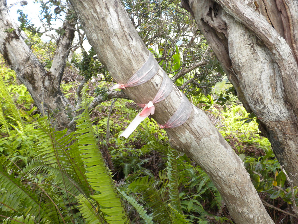
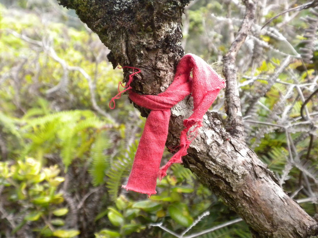
We walked for about an hour until reaching the trail head marked only by that single pink ribbon tied to a sign.
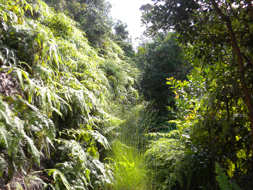
The old dirt road gave way to the narrow trail as we wound our way up to the junction where we could continue the KST or take a detour to a scenic landing zone. Having been there before, we opted to just continue on the KST.
 |
| The Ko'olau Summit Trail |
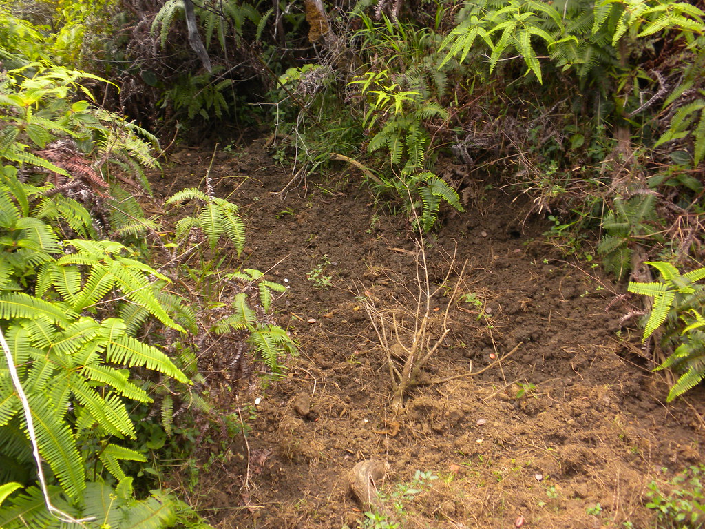
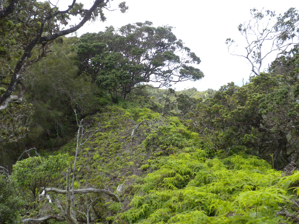
Along the way we stopped every so often to check out the fantastic scenery. We soon passed what I'd labeled "Pig Heaven" where the pua'a have routed up a big area right before Pu'u Hina. Minutes later we topped out to Hina and the small cleared area with views of Kahuku below.
 |
| Pu'u Hina Summit |
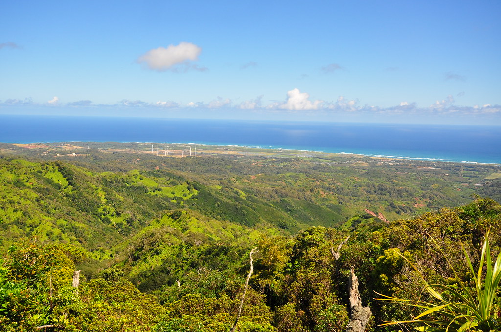 |
| Looking down on Kahuku |
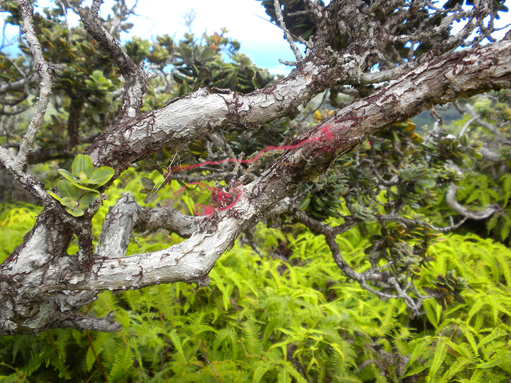
Just beyond lay the junction with the Kahuku Ridge Trail so after a short break we continued up the summit trail towards it. With a little help from Back Country Navigator we spotted two old faded ribbons marking a junction. This was it!
 |
| Kahuku Ridge Trail Junction with the Ko'olau Summit Trail. |
 |
| The mighty Ko'olau Volcano's northern flank. |
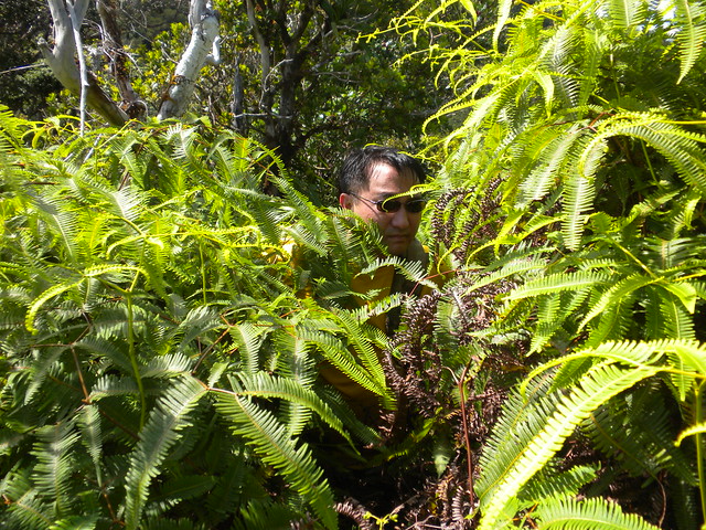
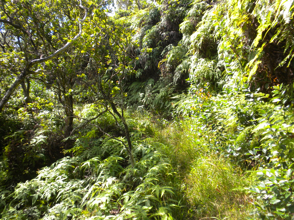
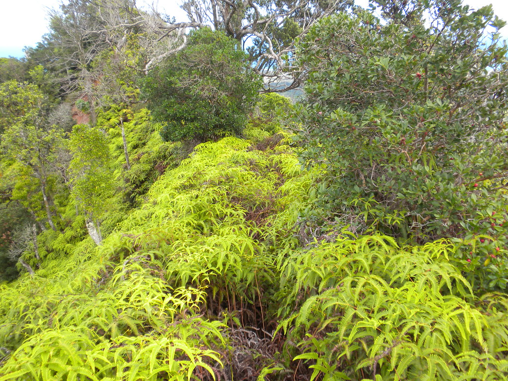
When I'd quit last time I figured it was about a half a mile from the junction. Further, I speculated that because it was still early we'd be done with this trail quickly. Wrong! Although it appears at some time the old trail got some considerable use in the past judging by the rutted path it was quite clear that it rarely saw any use now. The uluhe was manageable for a while but as we pushed our way down it got tougher and tougher. Soon we found ourselves mired in the overhead ferns.
A bit over a tenth of a mile down there was a steeper section where a rope would have been handy but wasn't required. A short way beyond we reached a small peak I dubbed Pu'u Pua'a because it was clear the pigs visited it frequently with their routing up the dirt. Almost immediatly after leaving Pu'u Pua'a I made a wrong turn in the deep uluhe following the ridge to the right along what must have been a pig trail. After maybe 20 or 30 yards down hill I realized my mistake and shouted for II to stop to spare him from having to decscend down to find out he had to climb back up.
After retracing our steps we were able to find the trail to the left and were back on track. The ridge zig zags back and forth in the upper sections and although we periodically spotted old ribbons many were coated in moss or hidden by the ferns. On an Ohia tree I spotted three ribbons. Weird considering that usually means the end of a trail and we were not at a spot I'd consider a finish from either up or down the ridge.
We continued down the ridge lined with ohia and filled with uluhe. The level of difficulty was largely dependant on the depth of uluhe and the amount of breeze we got to cool us on a typical hot sunny day. Along the way I noted some red fuzz on a branch. That seemed a little strange until a short while later I ran across a red cloth ribbon.
By the time we reached Point Failure where I'd given up last time we'd already had enough of Kahuku Ridge's uluhe choked trail. However, I knew that things would improve shortly and soon enough we were picking up speed as the swath I'd created on the previous trip eased our passage.
We passed the big halapepe and the small stand of ho'awa and descended a short saddle. The trail began to open up a bit more as we reached the middle of the ridge which I suspect still gets used by hunters.
The next segment of the trail was a long stretch of strawberry guava. The path to take is quite clear except, inexplicably, at two points where it just melts into the dense stand of the invasive guava.
 |
| Strawberry guava |
Twice along this section of the trail we spotted pua'a poo. I know you're wishing I'd taken a picture of it, and, you're in luck! I did. The strawberry guava next to the pig poop and the seeds in it illustrate one way the guava is spread and has become such a pest.
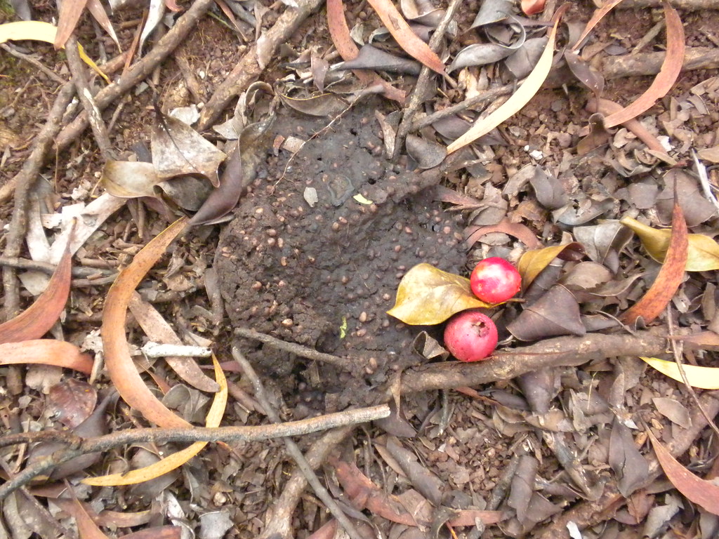 |
| Pig poop. |

Our next marker was the large lichen covered rock in the middle of an iron wood tree grove. Here the trail becomes a little obscure under all the needles but by continuing downhill we were able to find it pretty easily.
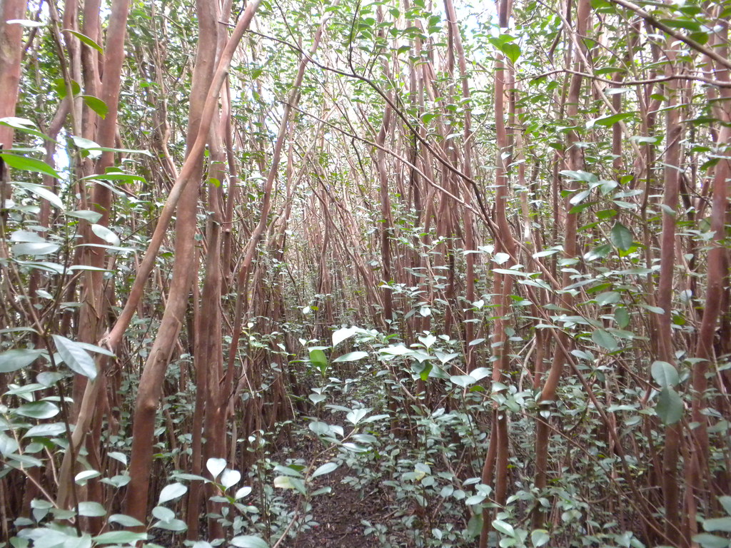
A short time later we arrived at a grove of Cook Pines where I suspect the trail started years ago from a road that led up from Kahuku. We passed through the stand and crossed an eroded section to a large meadow.
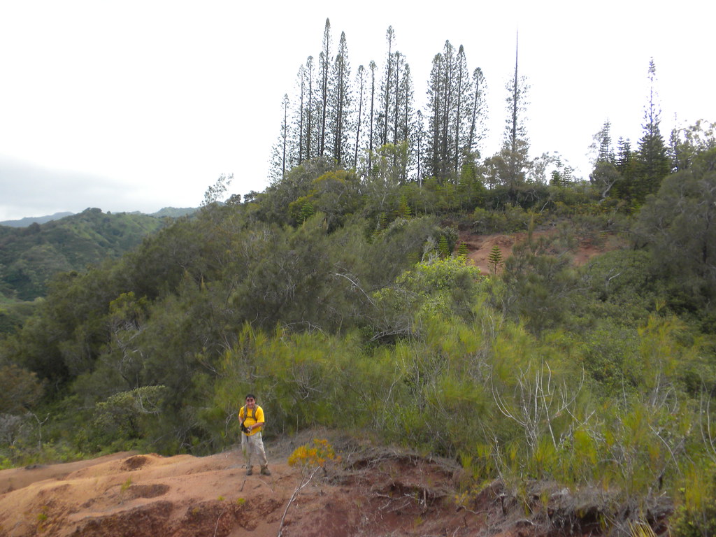 |
| The Cook Pine grove and eroded section |
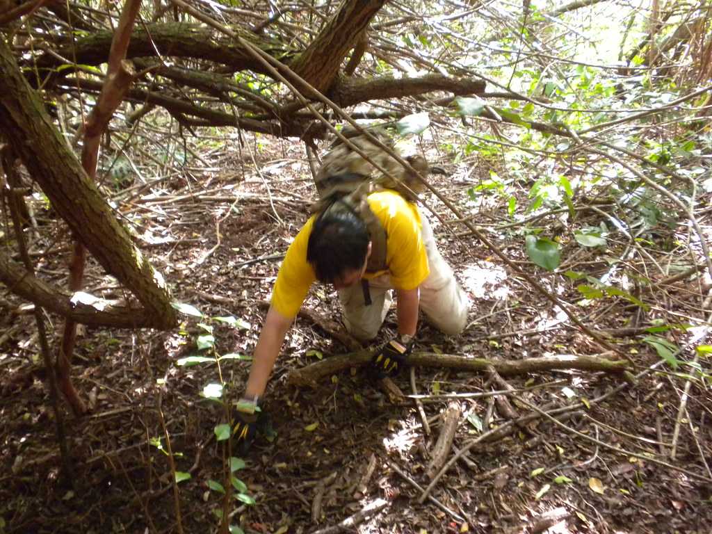
Here the trail becomes very difficult to follow. The meadow is filled with christmas berry, java plum, and even some ohia. Despite having a track in my phone from my last visit, it still took us about 10 minutes to find the path through the meadow. Established on the meandering trail again it wasn't long before we reached the small section that required us to crawl under some low hanging christmas berry.
Passing through some more iron wood we reached the badly eroded section of the old road that runs the crest of Kakuku Ridge. Shortly there after it wound it's way down to the stream and then the Army road with the yellow gate that defines the Army's Kahuku Range. We followed the mishmash of roads, horse trails, and foot paths I'd strung together last time back to the Jeep at La'ie. Success!
We headed back to Pupukea Road to retrieve II's car in the evening sun. Upon arrival at the end of the road near the Boy Scout Camp I noted the number of cars parked along the road. Apparently the Army's private road is quite popular for dog walking, bike riding, and jogging in addition to hiking!

II safely delivered to his car, I departed and on a whim took a left turn into the Pu'u O Mahuka Heiau State Monument. After negotiating the seemingly endless series of speed bumps, I arrived at the heiau to find myself alone. I wandered around the ruins trying to imagine what it once looked like before heading over to a small outlook to take a couple pictures of the sun sinking towards the horizon. After a few more shots I returned to the Jeep for the long ride back to Kailua. Kahuku Ridge Trail complete, my only regret of the day was that I forgot to bring any ribbon to mark the trail!
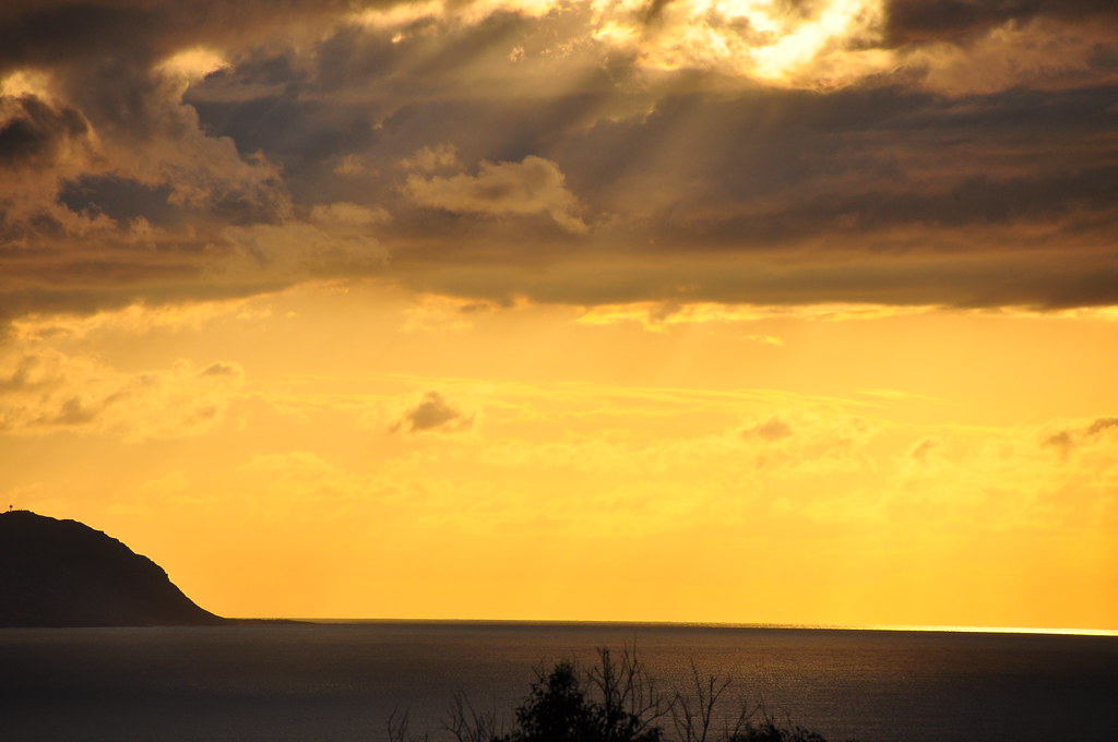 |
| Golden rays over Ka'ena Point |
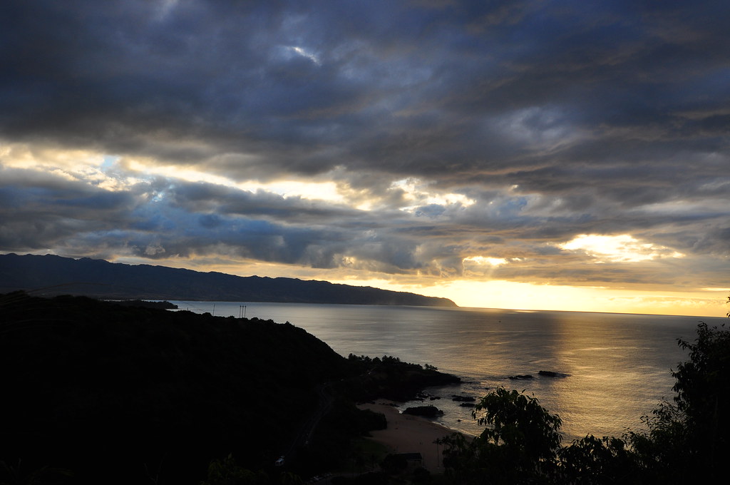 |
| Sunset at over Waimea Bay |
With a little work to open it back up, Kahuku Ridge Trail would be a fun one to combine with either nearby La'ie or Malaekahana but in order to do so one should really find and use the old route off the Malaekahana Trail instead of the one I used which probably crosses all kinds of private property.
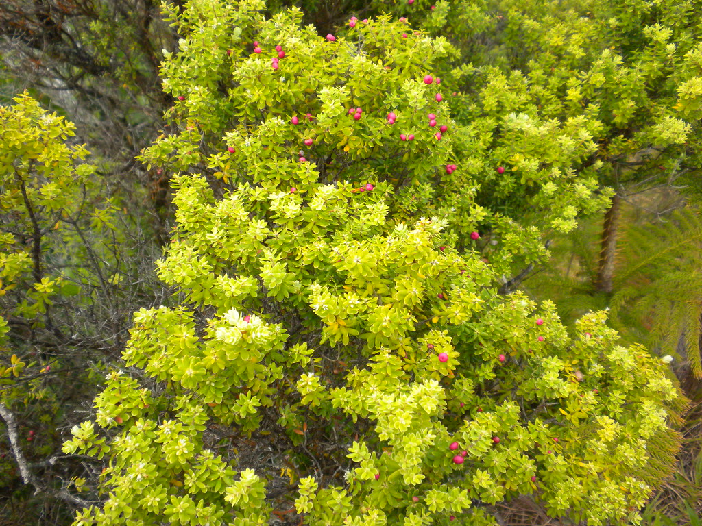 |
| Pukeawe |
 |
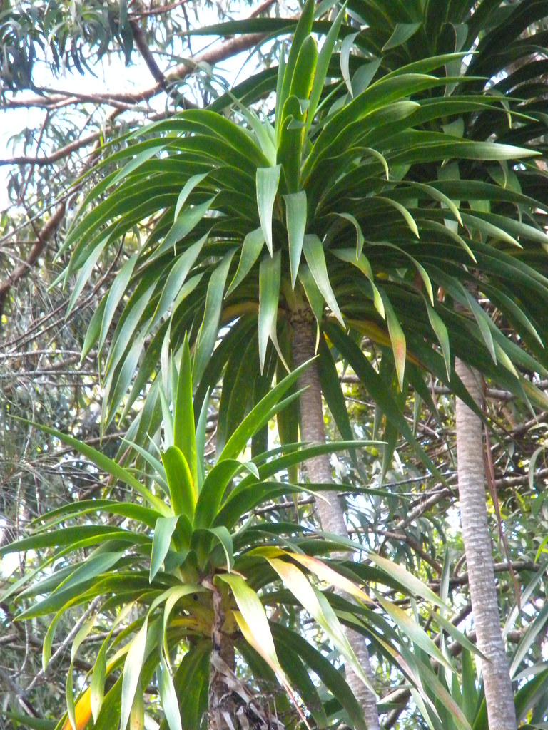
| 'Iliahi |
More pictures from
this trail and others I've done can been viewed at
Flickr. Aloha and thanks for reading!
 |
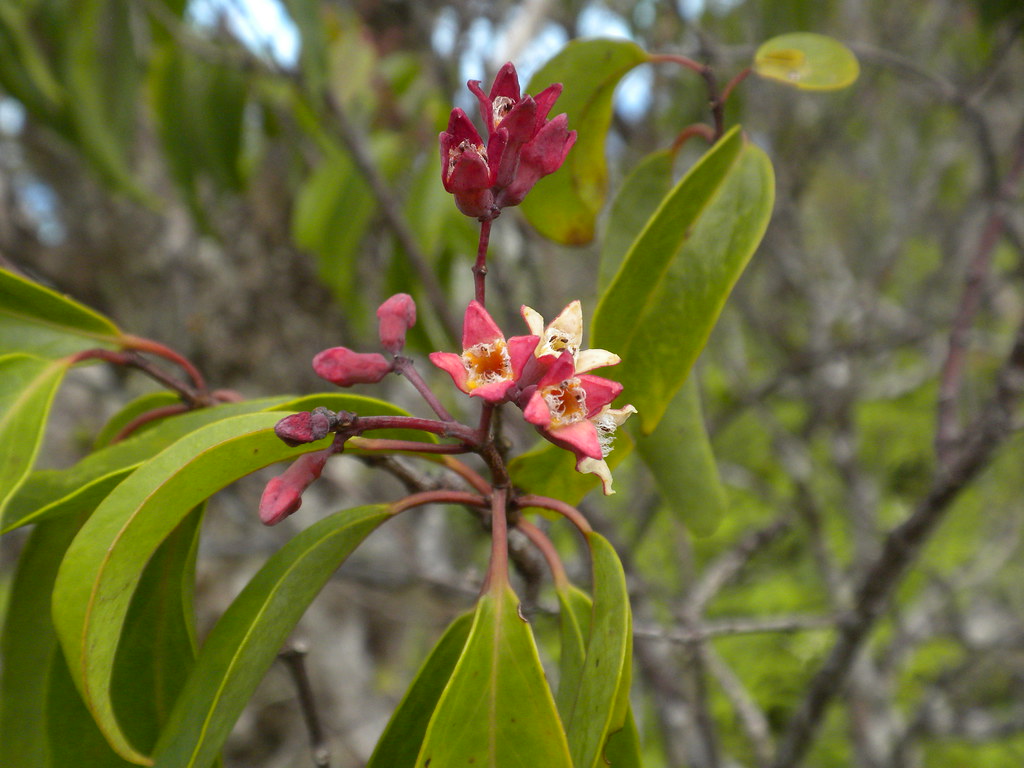
| Lehua |


No comments:
Post a Comment