Late Monday night I received a call from James who'd decided he wanted to try to hike to Sacred Falls, a place I'd always meant to get to but just never have. I hastily agreed to go and the next morning I picked him up and we headed out to Punalu'u. Amazingly enough, the gate to Sacred Falls State Park was open which seemed a bit strange. Sure enough, there were a about 10 cars in the closed state park and while were were parked across the road two more showed up with DLNR stickers on their doors. They eyed us suspiciously as we did the same. After they'd formed up for some kind of briefing another DLNR truck appeared and a guy stepped out to lock the gate behind him. The group eventually headed up the old trail towards the falls which was the final nail in the coffin of our plan. Figures the DLNR would be hiking Sacred Falls the day I finally get around to doing it!

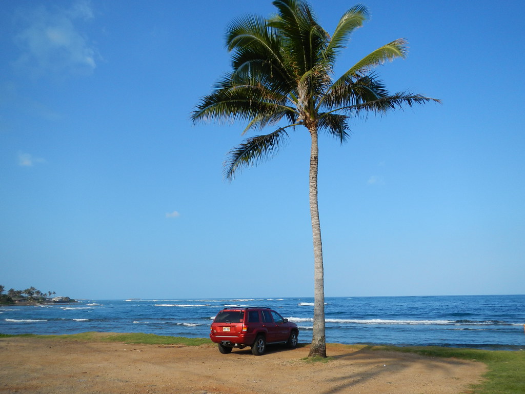
Having driven all the way out to to Punalu'u we didn't want to head back so I started mulling over trail options in my head and after dismissing a few I'd already done we settled on Ma'akua (Towards the gods?) Gulch, another closed trail in nearby Hau'ula. Some hasty smart phone searches yielded enough information to convince us that was our best option on this cloudless day so we headed to Hau'ula and parked the Jeep at the beach park. We crossed the highway and headed up Hau'ula Home Road to where a yellow metal gate blocks the road.
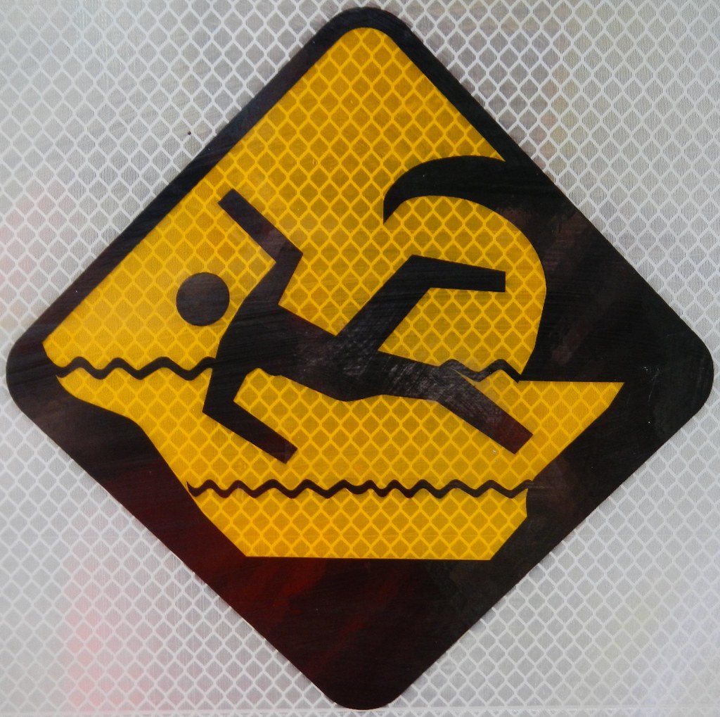
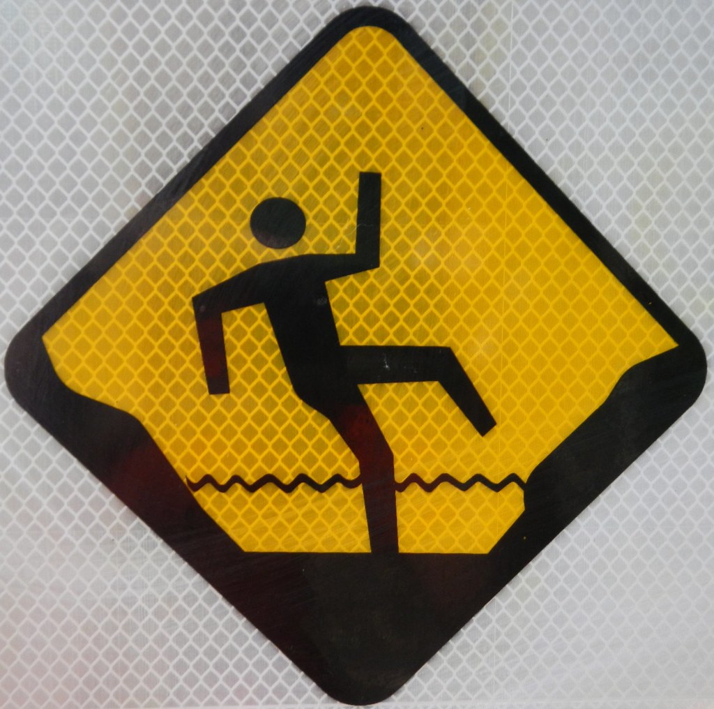
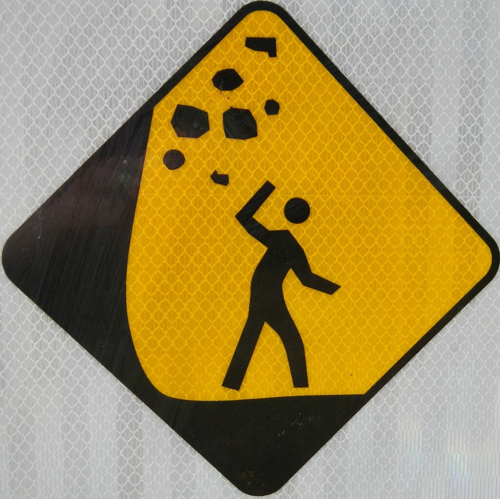
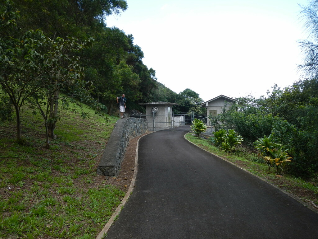
I knew from my previous trip up Papali to Castle that the trail to Ma'akua Gulch started up the Board of Water Supply Road. It climbed gently up to a pumping station where numerous signs warned us of the dangers ahead- flash floods and falling rocks.
Passing the signs and the pumping station we waved to a guy welding some of the steel grates at the pump station. He gave us a cursory wave and went back to work. Just beyond the station was the trail head.

Near the trail head and in some ironwood trees were the leftovers from someone's New Year's Eve celebrations. Dry pine needles and fireworks don't mix very well so whoever was lighting them is lucky nothing caught fire. The initial segment of the trail was quite pleasant as we contoured on a graded path in and out of a ravine or two before reaching the valley floor where the trail passed through hau thickets.
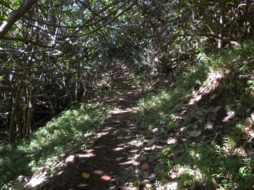
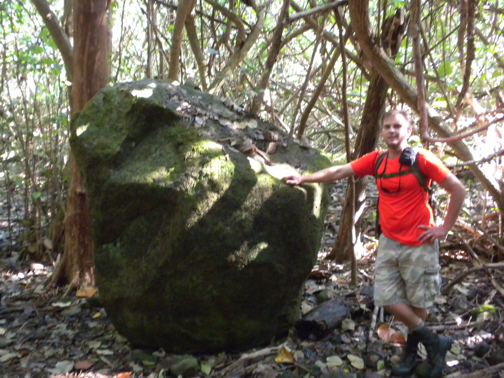
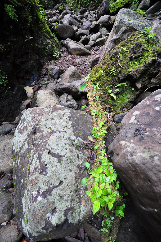
Along the way there were what might have been old terraces of stacked lava rock and the trail cut through a few of them. A huge bolder served as a nice landmark for Back Country Navigator. There were plenty of old and a few new ribbons to help us sort our way up the narrowing valley but what struck me as odd on this closed trail was that there were still DLNR arrows from when it wasn't.


Walking along the path the hum of what I assumed was a beehive filled the air. Searching briefly I spotted a pua'a keiki hanging limp in the crux of a strawberry guava tree. Both James and I were mystified why someone would take the time to kill a pig and leave it hanging in a tree. It made me more uneasy when James discovered the dried remains of some kind of flesh in another nearby tree. Weird!

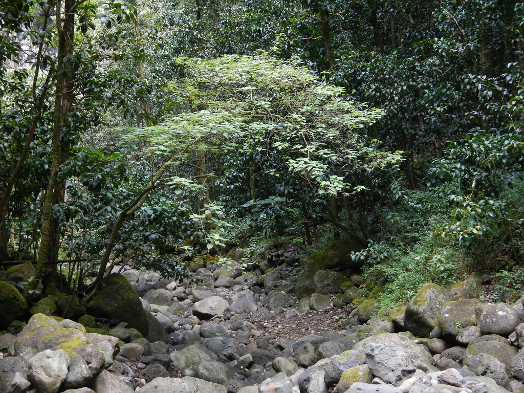
Shaking off the uneasiness we moved up the valley further and enjoyed the beauty of the dry stream covered with Kukui trees and lined with Ohia ai. We took a couple self portraits in this scenic spot too.

We'd learn as we progressed, the trail crisscrosses the stream numerous times. James being far more patient than I am spent the time to find them while I just headed straight up the dry stream. Coming back I used the trails he'd found instead as rockhopping gets pretty tiring.
About midway up the valley the dry stream bed gave way to a small burbling trickle that vanished underground as it made its way down the valley.
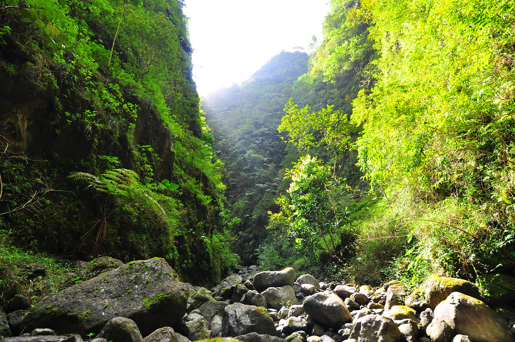
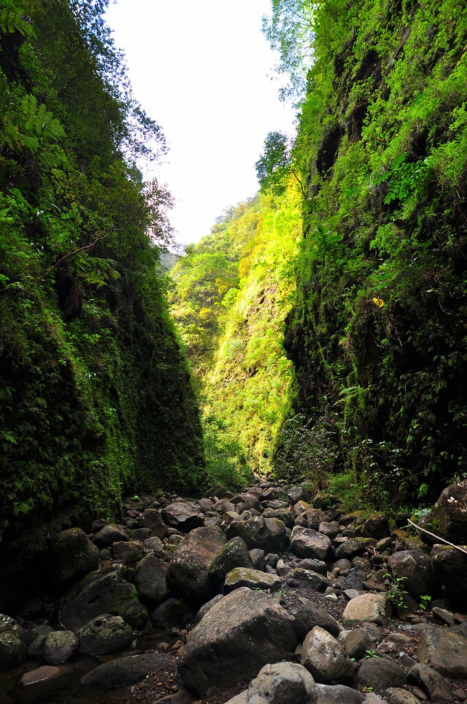
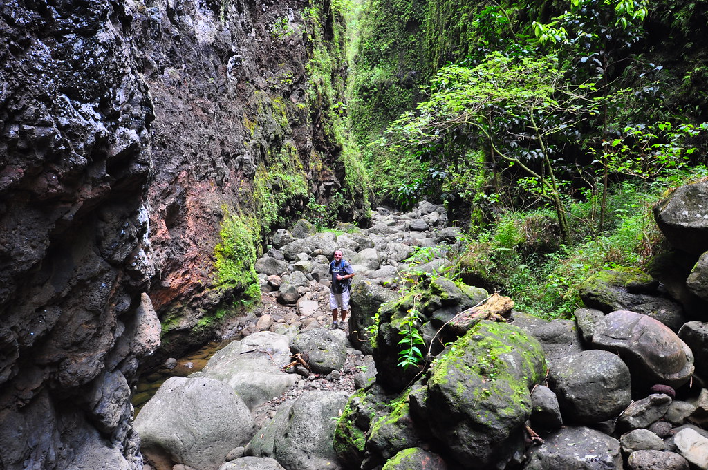
Continuing up the valley the walls continued to narrow. It's easy to see how there is a real danger of flash flooding here as there would be no place to go with the vertical walls of the valley stretching hundreds of feet above on both sides.
As the walls narrowed the side trails that had made our progress easier vanished and we were left to negotiate the boulders of the dry stream bed. I was wearing my Wellco jungle boots while James wore regular hiking shoes. The panama tread was fairly useless on the sometimes slick rocks but the steel plate helped stiffen my boots while his shoes were wrapping around the rocks. That might sound better for traction but it makes for sore feet and James was feeling the rocks as we made our way up the stream bed.
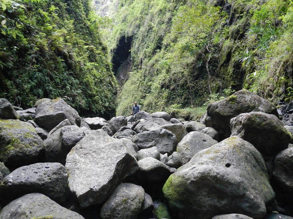
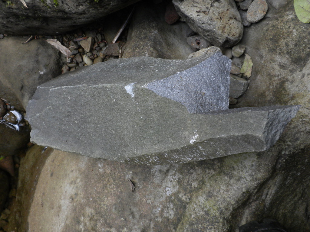
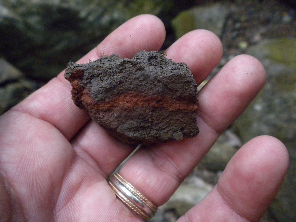
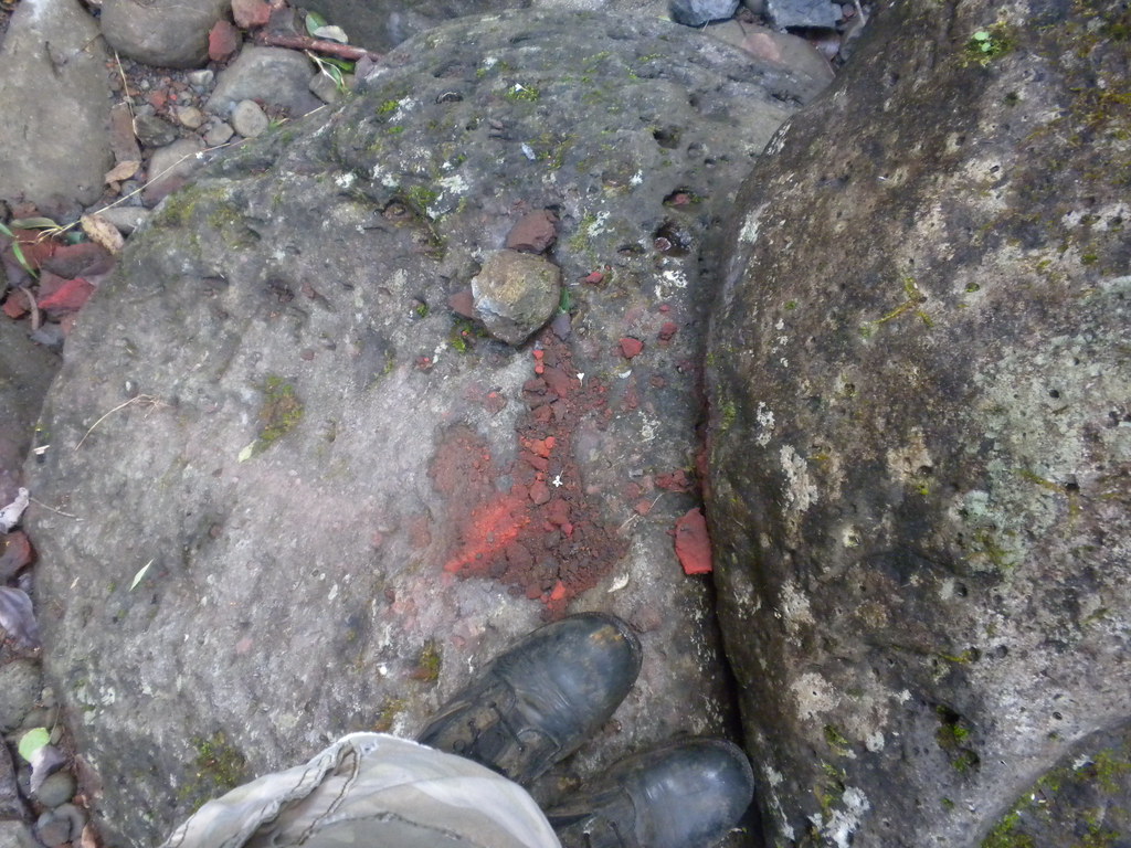
Another real danger here is from falling rocks. Evidence was all around us of their impact. Shattered rocks littered the boulders of the stream bed which now had a trickle of water running though it. It was also apparent that the rocks shattered and ricocheted long distances meaning even if it missed on the initial drop there was a very real danger of being hit by flying shards or the rock itself as bounced off the boulders. Some areas were worse than others and I picked up my speed whenever we entered a more active zone.

The continually narrowing valley meandered up ma uka towards the Ko'olau summit. It made for a neat effect on the sky above.

We passed an old rope tangled on the boulders filled with the invasive Clidemia hurta, Kolster's Curse. It has an amazing and insidious ability to grow just about anywhere! Further on we paused at a large Ohia ai and Chinese fan palm for a photo op.

A short time later we reached the end of the trail for us that day, a small water fall and pool that neither of us felt inclined to cross to continue up the valley. The clear day had started to become cloudy and the dark clouds piling up against the Ko'olau summit meant the danger of the stream going from a trickle to a raging torrent was increasing.
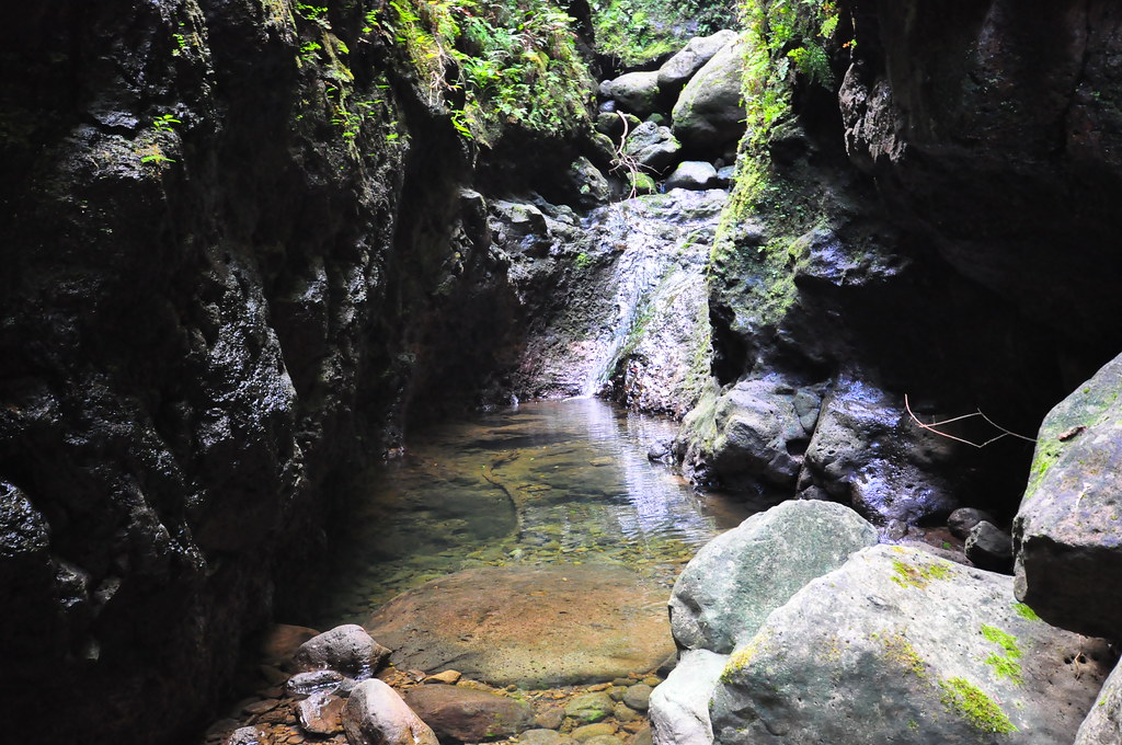

At the small pool I discovered a geocache. Unfortunately the little glass jar had leaked over time and the guest log and whatever else was in it had dampened and was now a science experiment on mold growth. I took the weatherproofed pamphlet out which was still readable.


While it is possible to continue beyond the small pool, the rain clouds and our general lack of interest meant we elected to turn back.
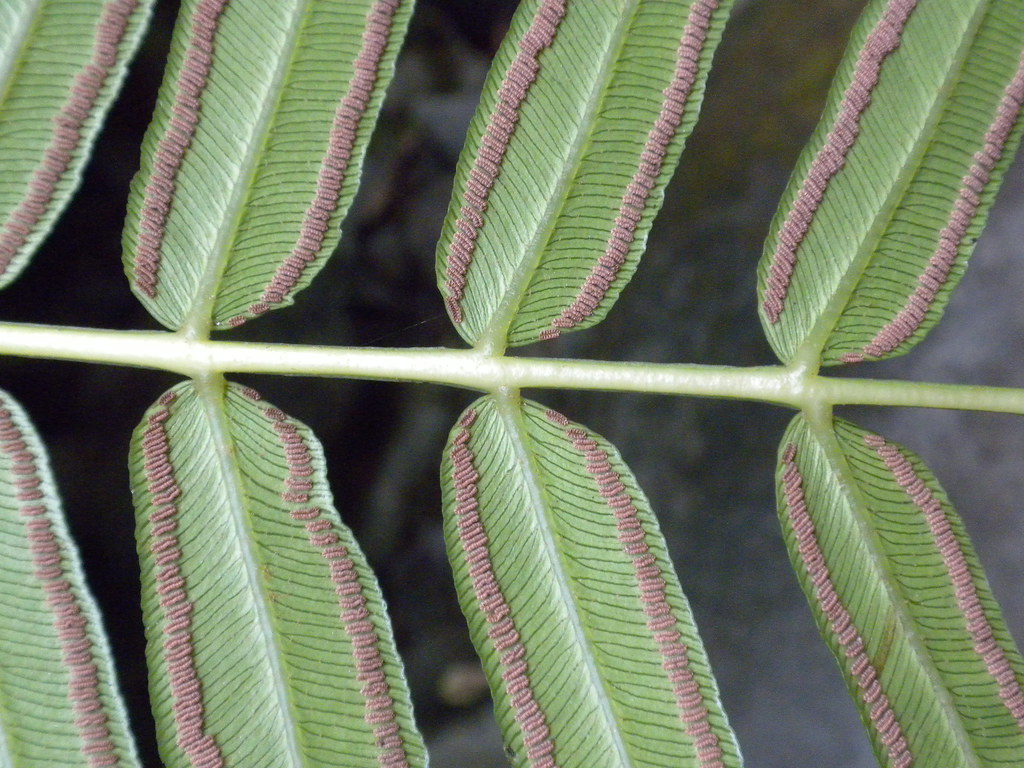
As we made our way down the boulders we threw cautious looks over our shoulders at the ridges above us from time to time. No need to be killed by a falling rock on the way home! We only paused a few times for photos and for me to inspect a few of the native plants along the way. Most of the plant life I saw was either alien or introduced but there were a few Mamaki hanging from the walls of the valley and some nice larger specimens growing across the stream.

We made better time on the way back as we discovered more of the side trails which kept us out of the boulders. It was now that I discovered that they were actually depicted on the topographical maps in Back Country Navigator. Doh!
I'm not sure how we missed it on the way up but near the bottom of the trail is an old orange bike. Written on the frame a warning, "Don't trust the Irish". I don't get the reference and even a Google search when I got home didn't help.
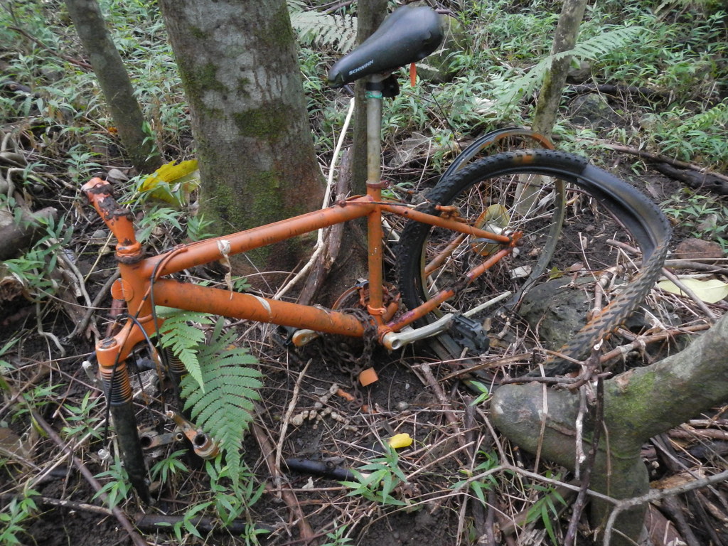
 |
| The ex atop the orange bike- Photo by Chris Williams |
"OMG I can't believe that bike is still there. Funny story; it used to be chained up in the tree. Then my ex decided to climb up on it and the bike fell with him on it."
-Chris Williams
Thanks Chris for letting me use your comment and your picture here!
We wound our way back out the valley past the pump station where I paused to take some pictures of the brilliant yellow flowers of a Hau tree. As the flowers age over the course of the day they turn from yellow, to magenta, then to red. On some trees this happens while the flowers are still on the tree and others after the yellow flowers fall. This particular tree was the kind where it happened on the branch.
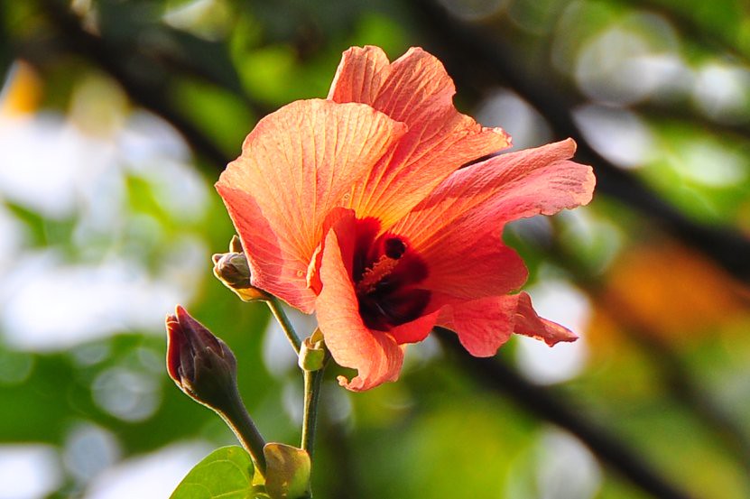

I thought it was particularly fitting that we end our day on the trail with this as the red flowers of the Hau are what the area are named after, Hau'ula or "red Hau". It's reported that in Old Hawaii there were a prolific number of these trees in the area and during the peak blooming season of late summer the red flowers of these Hau trees were said to be stunning enough to become its name.
 |
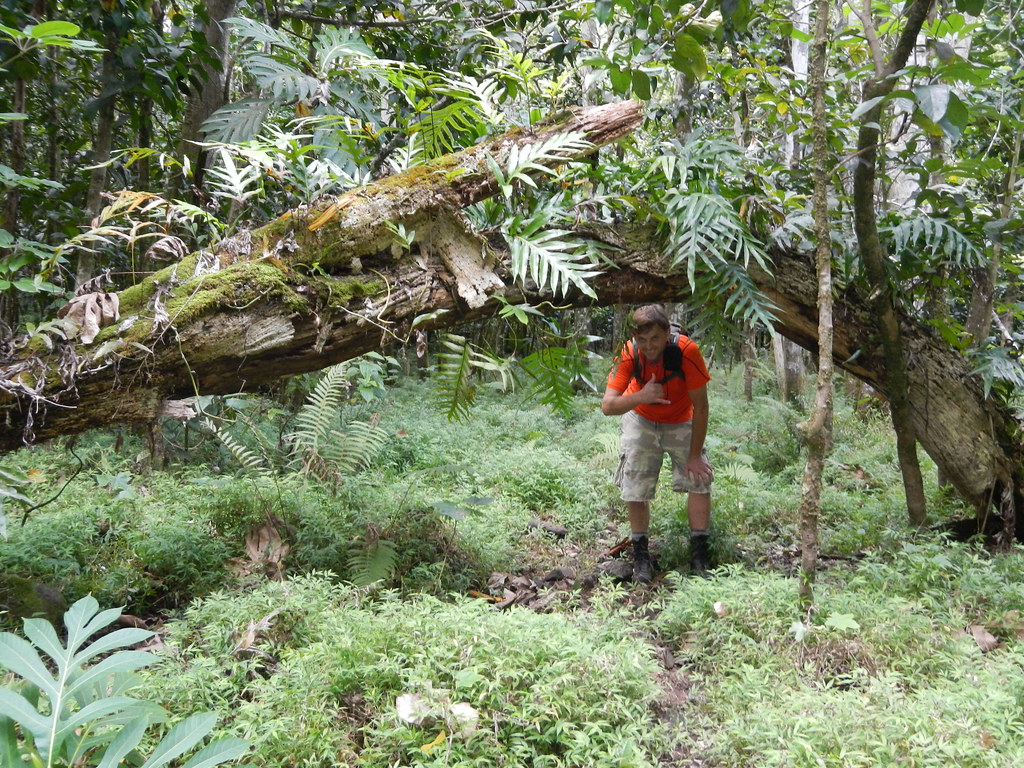
| Safe and sound. |
I have to say that this trail had me feeling uneasy more than once. The dead pua'a in the tree with nearby rotting flesh and the crazy number of falling rocks had me wondering if this was a good idea. The upper reaches of the narrow gulch seem more aptly described as a canyon with it's dramatic vertical walls and narrow width. While we didn't actually see or hear any rocks falling I felt under pressure to move quickly in areas that looked like they were pretty active. I was keenly aware that even if the silent fall of a rock from above didn't get me that the shrapnel or ricochets where probably just as bad. We had the luxury of clear skies and with those narrow walls I don't think I'd want to head up that narrow valley with any chance of rain. I know there's probably some really great scenery beyond that first pool but with the length of time it takes to get up there it's not a priority to do this one again with such a long list of trails I'm still trying to find the time to do. Be careful if you try this one!

More pictures from this trail and others I've done can be viewed on Flickr. Aloha and mahalo for reading!
Wonderful photos.
ReplyDeleteGlad you didn't have any rocks fall while you were there. It's hard to move out of the way with the boulders. They are slippery as heck.
And good luck with Sacred Falls (if you do that). That's the one that I'm too afraid to do. Cheers for your adventures. I enjoy reading them. (:
Thanks! I enjoyed reading your blog post about Battery Kaena. http://punynari.wordpress.com/2012/02/16/kaena-battery/#more-8890 I've been fascinated by both the old coastal artillery and airfields on O'ahu for years. I used to spend a lot of time sneaking around Bellows exploring the tunnels most people don't even know are there. Anytime you want to explore an old WWII site let me know. I've been trying to scam my way into Battery Pennsylvania for about a decade now!
ReplyDeleteSuppose doing a hike where falling boulders is the norm can make an otherwise fun experience to a more situationally aware experience / self-preservation taking hold. Some danger can spice things up. I'd think I'd have to pass on that one or turn back when that going got dangerous. No cell phone reception I'd assume, but that's hiking, we don't need no stinkin' cell phone!
ReplyDeletethere is a trail that you can follow that takes you away from the roacks and water i went up ther twice i want to go again i really dont have anyone that whats to go with me because the story behind it about gods and how that was there temple you dont wanna mess with the hawaiian gods cause they are real erie as well but i am hawaiian and i wanna go ...
ReplyDeleteSounds interesting, I'll have to check that out. Thanks!
ReplyDeleteI hiked that trail many times in the 1990's while I was stationed at Pearl Harbor. Maybe I was just lucky, but I never saw or heard any rocks fall. Back then there was a rope at the first falls and the little pool. The rope allowed a hiker to scramble up the falls, under a boulder, and continue the hike. There was another, taller waterfall shortly after that and it had a rope as well. Beyond that was yet another waterfall and this one had two ropes, and climbing to the top required a switch from one rope to the other about half way up the falls. I only climbed that one once and I didn't very far beyond it because my friends had elected not to climb that last sketchy set of ropes and I didn't want to get left behind.
ReplyDeleteMan....I used to hike that trail all the time... had you gone just past that small waterfall and around the rocks ahead, you would've come upon a larger waterfall at a deep pool that makes the hike worth it. It's a beautiful sight and trail, but yeah...it can make you feel a little uneasy walking through that gulch thinking of a flash flood with nothing but tall mountain walls around you. Still...I'd love to hike it again. Thanks for posting the pics and video. Almost like being there.
ReplyDeleteThanks for the comment. Yes, James and I missed out on the big falls beyond. Some day I might do this one again to get the full effect, in fact I had it on my list for the summer but it's been so wet this year and I've been preoccupied with some other trail projects that it just hasn't happened.
ReplyDeleteWow! I love all your pictures! We just took this hike on 5-18-13. We had some uneasy feelings as well. It started with the "trail closed" warning sign by the water station. Our local relatives assured us that it just meant that that the trail was not maintained and also gave protection for the state if someone got hurt. The first part of the trail was visible and looked recently hiked. However, the further we went, the narrower and less visible the trail became. Without the detailed description of each stream crossing in our book The Hikers Guide to O'ahu by Stuart Ball, we likely would not have found trails on the other side and turned back. The tricky part is continuing about 30 MINUTES past the 15th stream crossing. Three of us stopped and the other three continued. The 3 that continued said they had to climb the first waterfall and swim through a pool to get to the second waterfall (the prize). In all, it took about 2 hours to hike up and 1.5 hours to hike down. A word of warning: Wear hiking books, not water shoes or sandals. The rocks are very slippery (even the dry ones). I fell about 5 times. Overall, our family (youngest was 17) thought this hike was the highlight of our trip!
ReplyDeleteGood note of caution about the slippery rocks, glad you had a good time!
ReplyDeleteI made four trips to the Maakua Gulch in the 1990's. I was able to climb the first waterfall, swim across the next pool, climb through the lava tube and up the next fall. I was unable to make it any farther but was told there was a minimum of six water falls in the gulch In 1997 I went there for the last time and fell off of the waterfall above the lava tube. I broke my leg and got a helicopter ride out of the gulch and spent 16 months recovering. Awesome hike though; best on the island. Too bad it was closed a few years later. ranb40@yahoo.com
ReplyDeleteI have video of my last hike here; https://www.youtube.com/watch?v=QP6lhQfwJHo The camcorder battery died prior to my fall, but one of my friends did get a bit of the helicopter that lifted me out of the area and brought me to the beach.
ReplyDelete