November 20, 2012
After last week's injury on the Ko'olau Summit Trail II decided he was taking a couple weeks off from the trail and despite my best efforts I couldn't convince him to change his mind. After considering a ton of trails I finally decided on hitting Koloa Gulch between Hau'ula and La'ie. Much has been written about this trail with its two forks and beautiful falls so I'll keep it simple. Directions are available everywhere on the internet and in Stuart Ball's book "The Hiker's Guide to O'ahu".
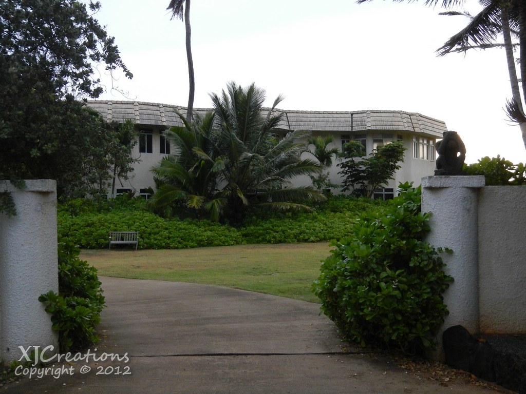
Wanting to beat morning traffic Sam and I agreed she'd just come to my place in Kailua and we'd take the Jeep to Hau'ula. We arrived at La'ie Beach in the early morning light. Setting off eastward we headed for the "White Mansion" mentioned in every set of directs I've read for this hike on the makai side of the road. I think the place is a little creepy with it's monkey statues on the wall and signs of neglect and decay.
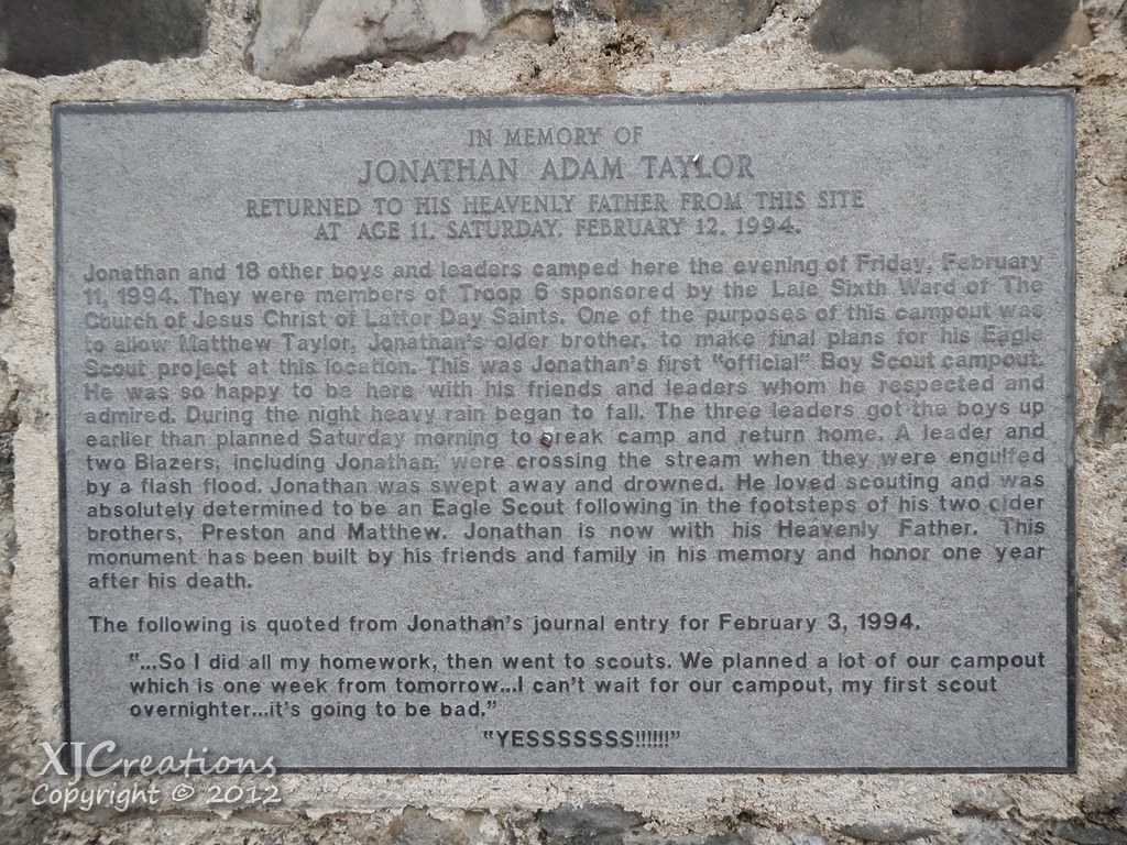
We started on the road on the makua side of the highway and passed the memorial to the Boy Scout killed in a flash flood. What a sad story.
Making our way up the road we followed a curve past some unplanted fields and took the barely noticeable trail on the left just before the farm. A pit bull barked and advanced towards us but didn't follow us up the ridge into the Ironwood trees.
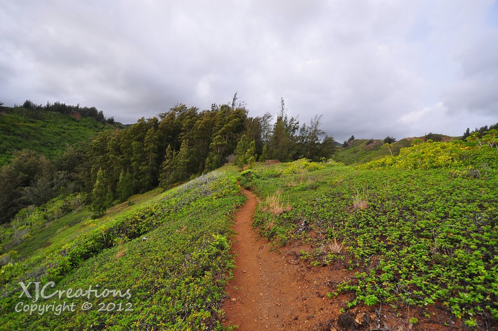
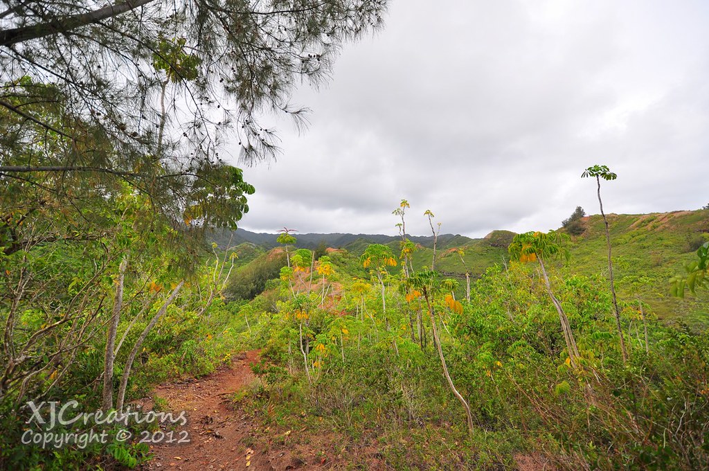
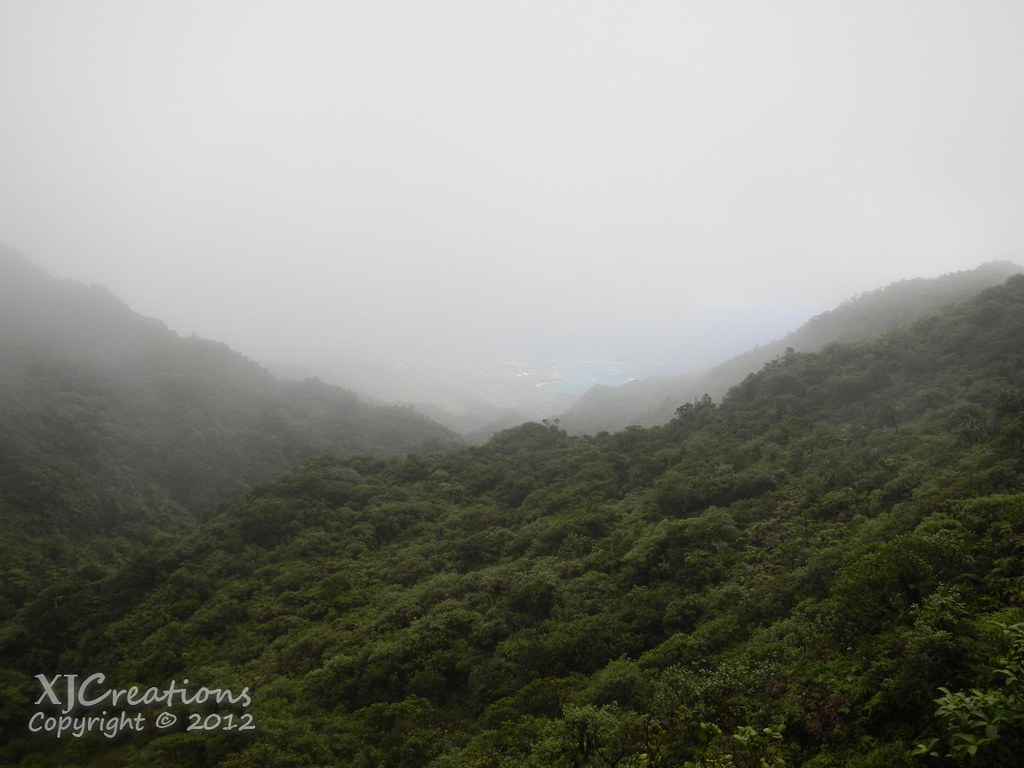
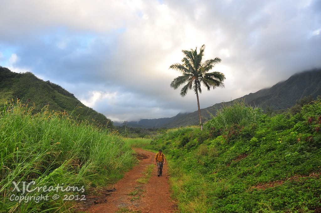
After a steep climb we gained the crest of the ridge as it headed mauka. A mix of native and introduced invasive plants lined the trail.
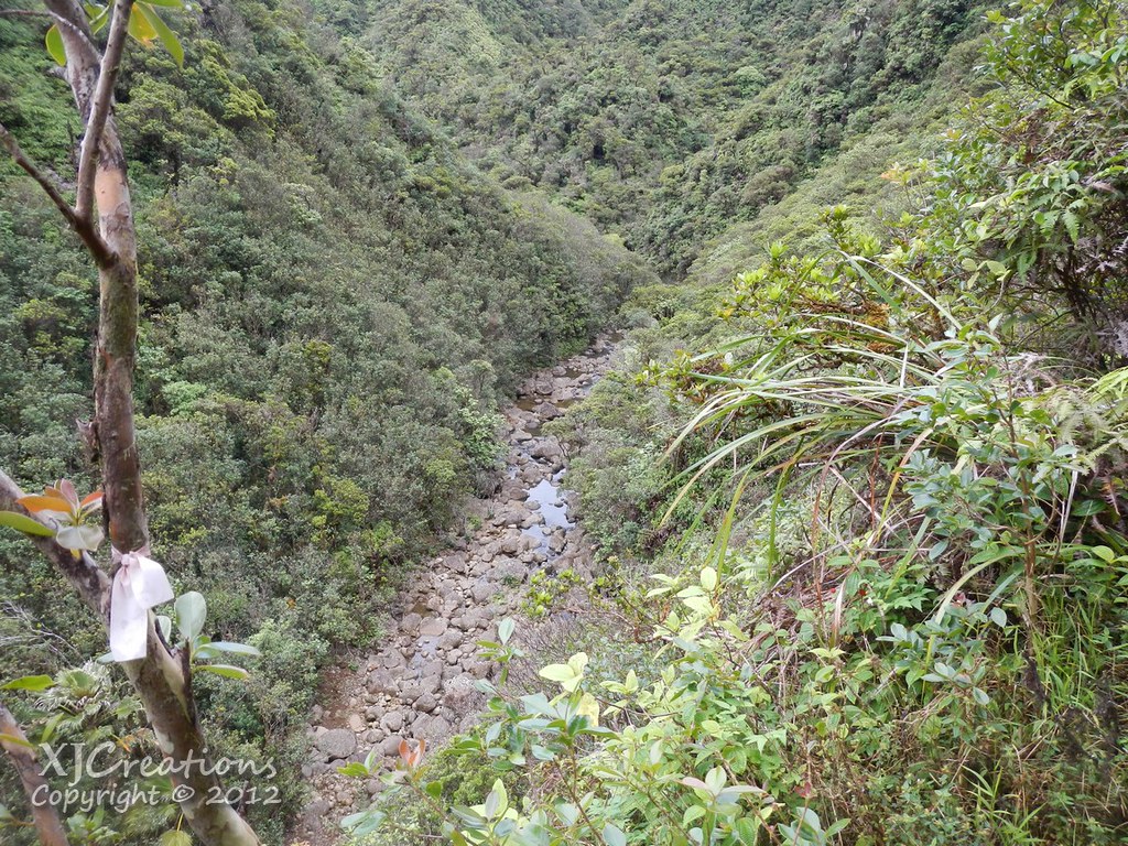
Eventually the trail forked and we headed down into Koloa Gulch on a very nicely graded trail to the right. At the bottom we made the first of the reportedly 23 stream crossings.
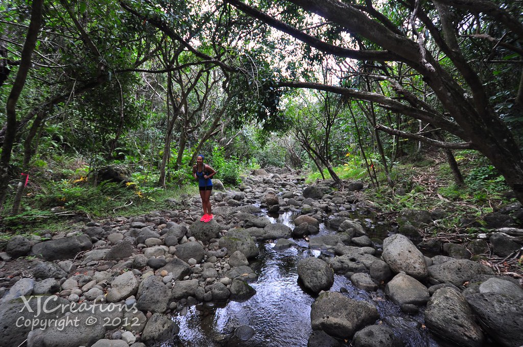 |
| Yes, those shoes are solar powered. |
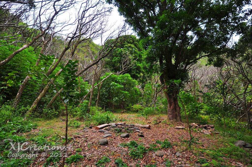
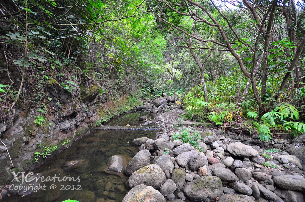
As we rounded a corner in the stream the remains of an old weir crossing the stream appeared. I didn't notice any other signs of any waterworks like pipes or tunnels but I'm it seems likely that at one time the stream's waters were tapped for agricultural purposes near the coast. I suspect the graded trail down into the valley was built for this purpose.
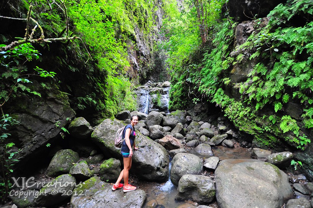
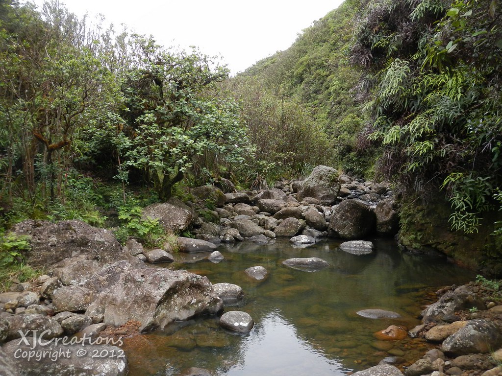
The stream makes a "U" then straightens out for a while before doing another "U". Lot's of stream crossings, some side trails, and some rock hoping.
More crossings, more rocks. As we got further up the valley the stream's flow seemed to increase as the ground has less time to absorb the water as it meandered downwards towards the ocean.
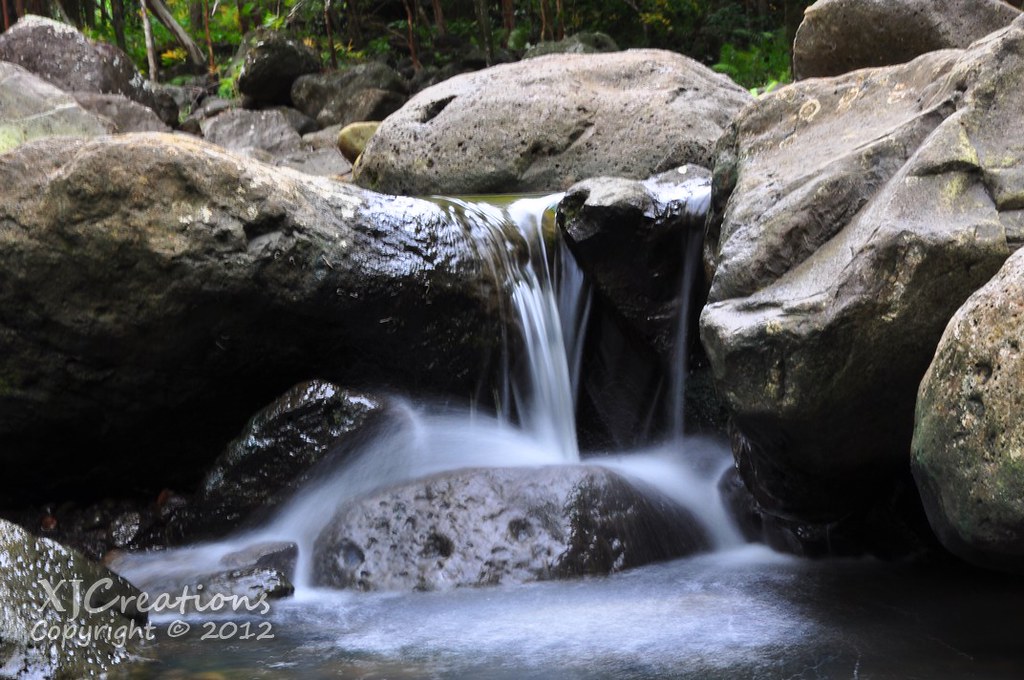
To be honest I was getting a little dejected. I had been hoping with the cloudy skies and recent rains that the waterfalls at both forks would be pumped up a bit. The meager flow of the stream seemed to indicate otherwise. I decided to do a few longer exposure shots for fun.
Holding still for 3 seconds isn't as easy as you'd think!
Eventually we reached the fork in the valley. To the left is "Kalo Falls" and to the right "Koloa Falls". We elected to start with the right fork.
Rock hopping our way up the stream bed we passed some decent sized pools.
The right fork is pretty short, roughly .2 miles each way but it seemed longer while we were doing it. Rock hopping really starts to get old after a while!
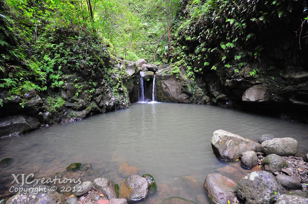
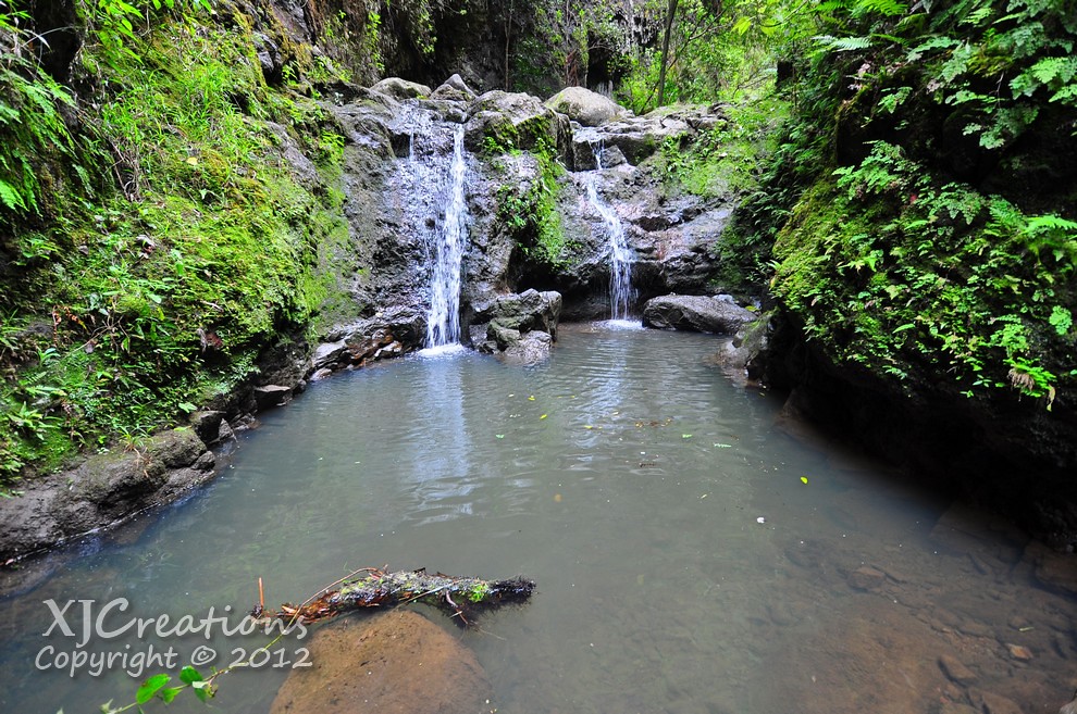
Finally we arrived at the pool and small falls that we'd have to traverse to get to the larger Koloa Falls. With the overcast skies and the cool air temperature jumping into a mountain stream just didn't seem to appealing!
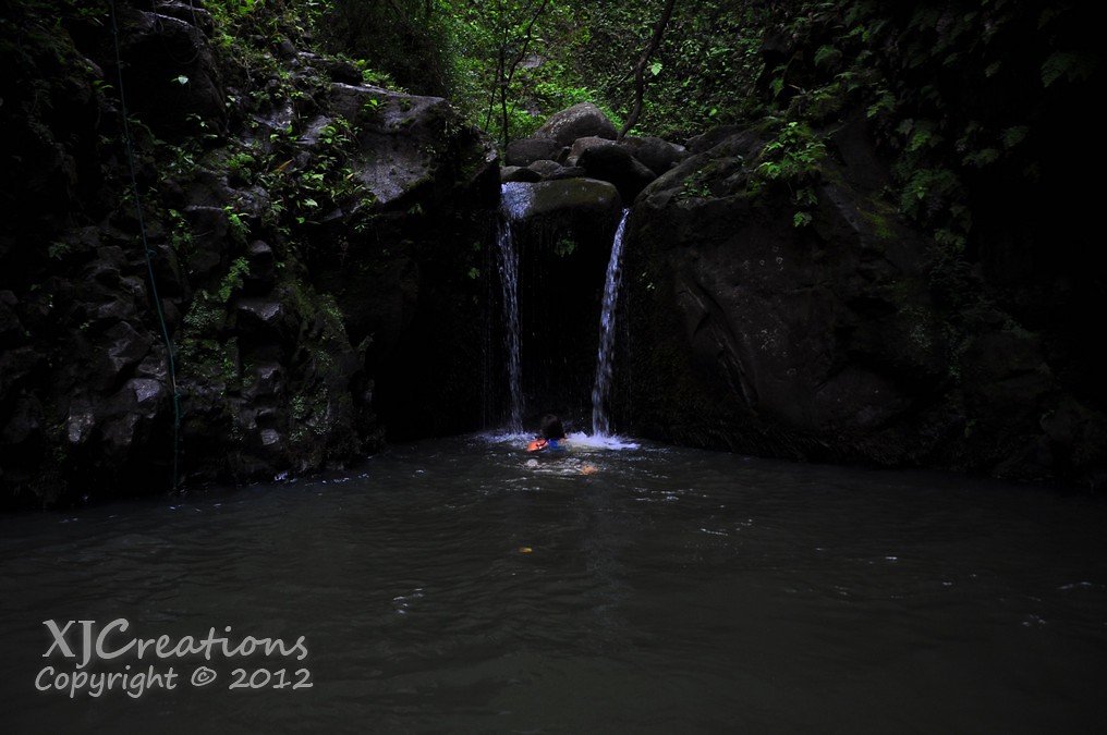
Sam went first (Ladies first right!) and swam up to the little falls.
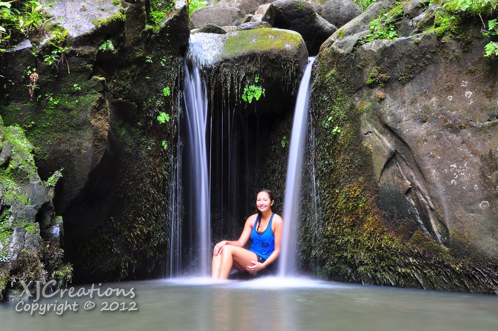
I managed to convince her to sit in the freezing little falls for a few minutes while I dialed in the settings on my camera.
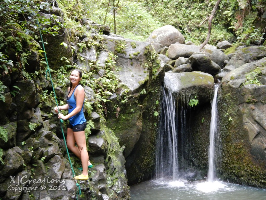
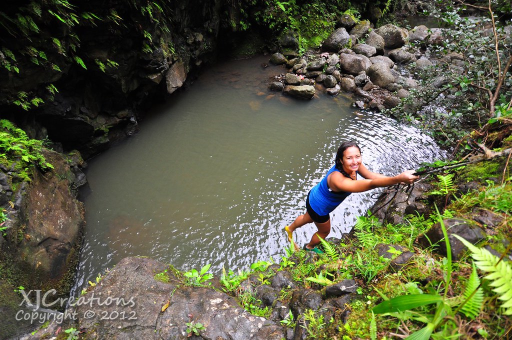
She scrambled up the green rope on the left side of the falls and shouted back to me that she could see Koloa Falls right around the corner. I double bagged my Nikon and swam over to the rope following her up.
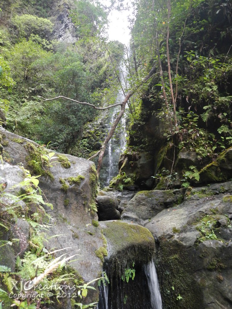
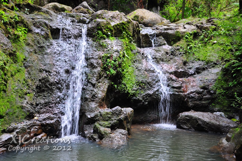
I grabbed a small split shot of both falls with my waterproof point and shoot but without a wide angle lens it couldn't capture the view.
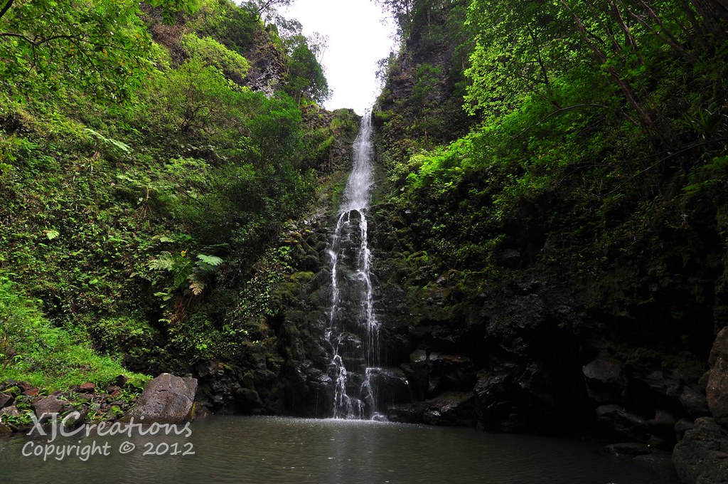
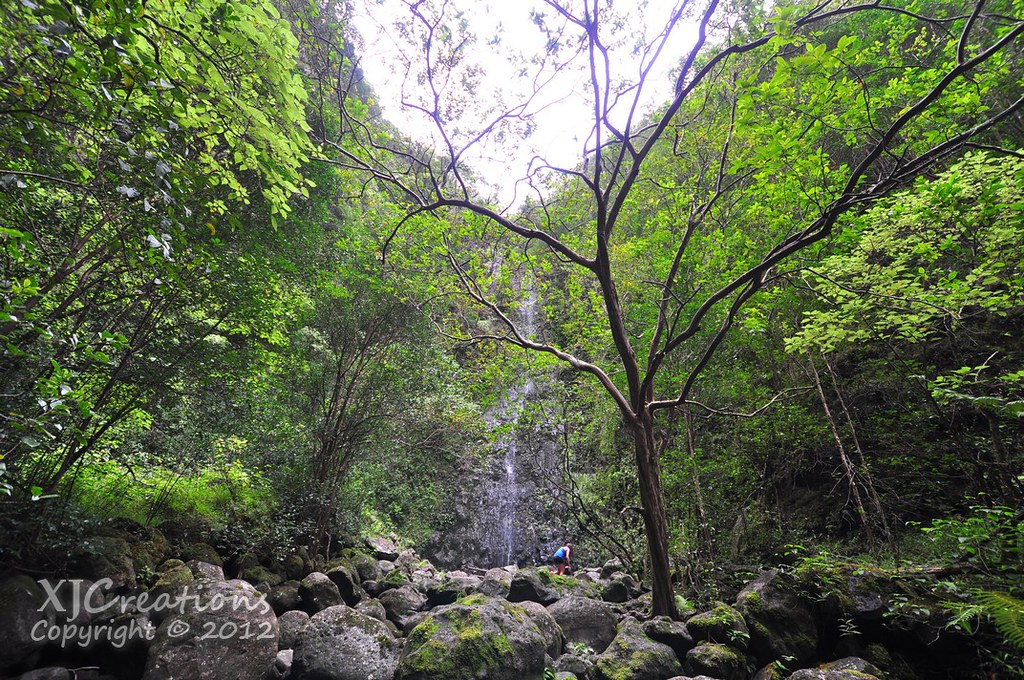
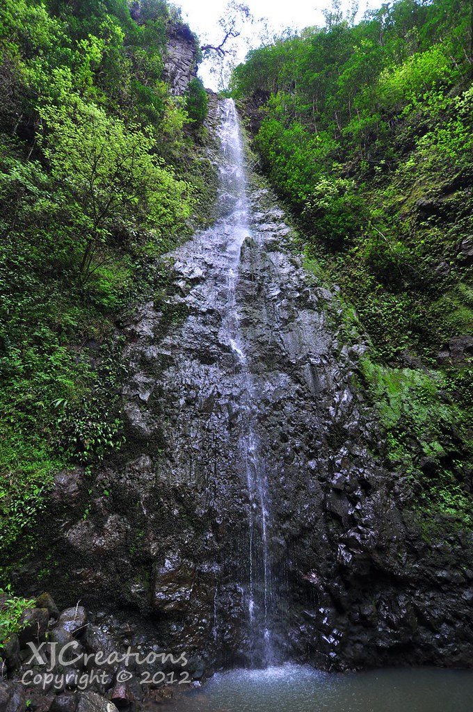
Koloa Falls turned out be completely worth the trip. It's a real beauty and the flow was adequate for us to get a good idea of just how pretty it is.
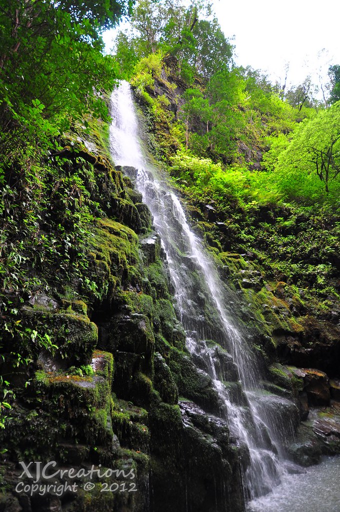
It's almost got a split personality with a smoother upper section and then rocky rough lower half.
The pool at the base of the falls is fairly large and takes up the bulk of the valley floor.
Sam was still frozen from sitting in the lower falls but I decided to test the waters and swim out to the base of the falls.
The water was pretty cold and while it would have been refreshing on a hot summer day it was too chilly to really enjoy on this wintery overcast day so we headed back towards the pool below to return to the fork.
I took one last shot of the upper falls before following Sam down the green rope.
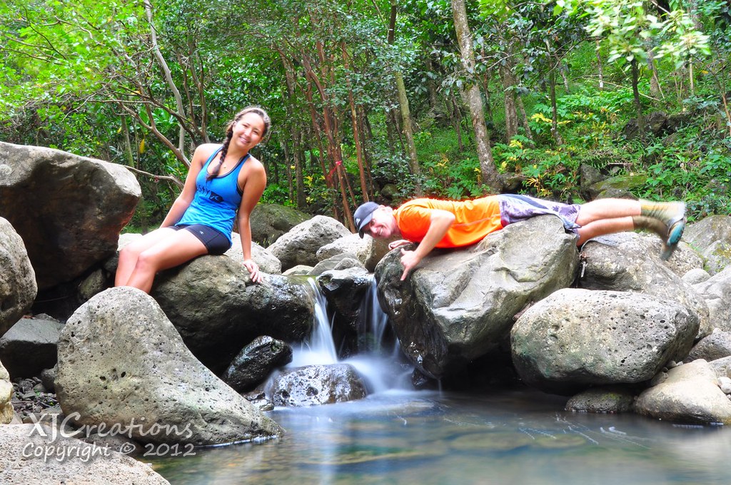
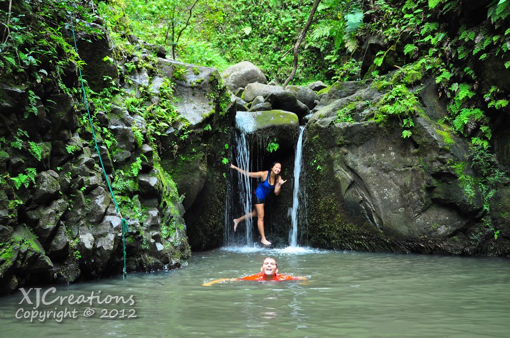
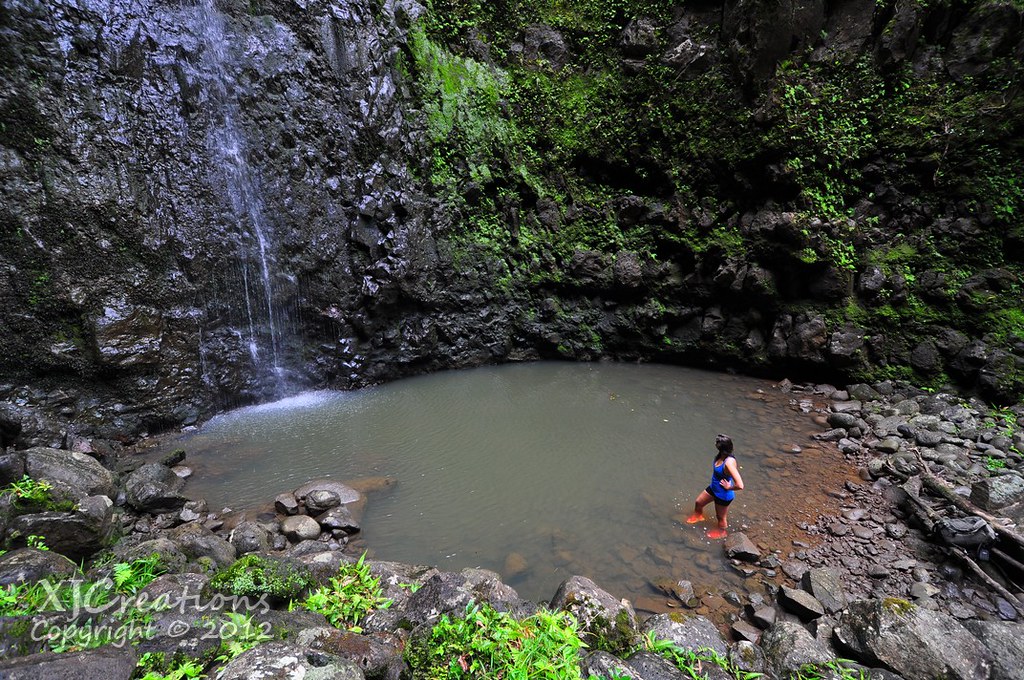
Somehow I convinced Sam it would be fun to take a few more shots under the little falls. I set up the Nikon on my bag across the pool and we took a few shots in the alcove under the falls.
 |
| This little alcove is perfect for portrait shots. Too bad it's 4 miles into the valley! |
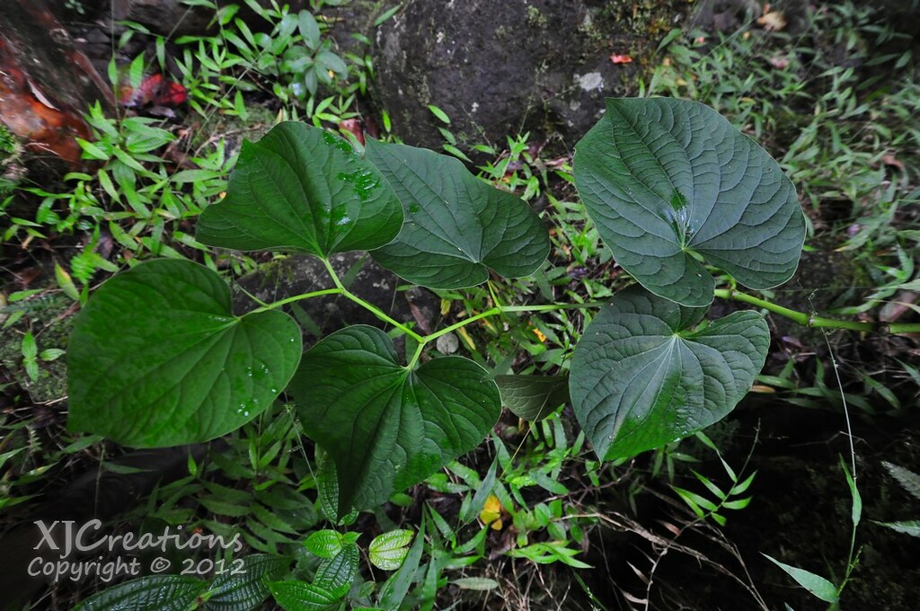
As we departed from the lower falls I noticed this lone 'Awa plant growing on the side of the valley. Piper mysticum was used throughout ancient Polynesia as an intoxicating drink and as a medicine. `Awa was used as a sedative, in religious ceremonies, as well as recreationally. The two gods Kane and Kanaloa are mentioned often in legend with 'Awa and many of the springs they opened here on O'ahu were to mix their beloved drink. Lately the earthy tasting drink has made a comeback and there are a few places where it's served locally now.
We returned to the fork and started up towards Kalo Falls. This valley seemed a little narrower.
The distance to Kalo Falls was longer too. A bit over .4 miles. We approached a set of falls we'd need to negotiate before proceeding further up the valley.
No ropes here, I balanced my backpack on my head and waded across the pool. The water was about up to my shoulders and a short climb up the right side of the falls was all that was required to continue.
Scanning the stream I found what I believe is the endemic 'O'opu alamo'o, the Bicolor Stream Goby,
Lentipes concolor. I think this remarkable and beautiful little fish deserves a little recognition.
"O‘opu alamoo was not eaten by the Hawaiians. Many considered this fish to be kapu (forbidden or sacred) because they believed it was related to the mo‘o (lizard) gods. It was bad luck to find this fish in one’s fishing net, because it was believed to keep the other fish away. If one caught this fish in a net, it was customary to throw the fish out of the net with an exclamation of disgust, in order to ensure a successful catch." - Univ. of Hawaii Hawaiian Stream Gobies
 |
| 'O'opu alamo'o |
"O‘opu ‘alamo‘o is perhaps the most remarkable fish found in the Hawaiian Islands due to its world-record climbing abilities, and this species has been documented to climb Hi‘ilawe Falls in Waipio Valley. With a vertical drop of nearly 1000 ft (300 m), Hi‘ ilawe Falls is the highest free-fall waterfall in Hawai‘i and also one of the highest in the world. It is remarkable that ‘o‘opu alamo’o can ascend a single waterfall of this height, a feat matched nowhere else in the world." -Bishop Museum Waipi‘o Valley Stream Restoration Study
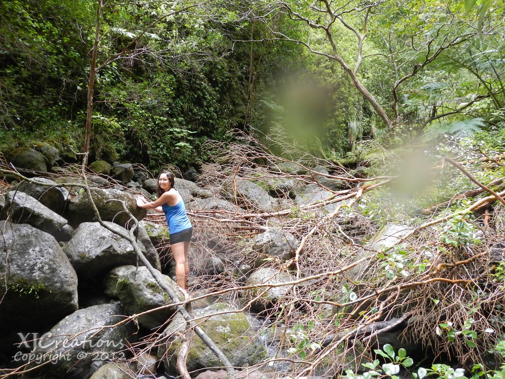
Okay, back to the hike! There were plenty of downed trees on this section we had to carefully climb over.
After negotiating the trees and more rock hopping Kalo Falls finally appeared in the distance.
Unfortunately there wasn't a great deal of water to power the falls. However, it was still a beauty. There was a large pool below but neither of us felt like testing the waters.
We didn't spend much time here and departed back down towards the fork again. On the return leg I spotted another native fish, the O'opu Nakea. Awaous Guamensis is the only Gobie species native to the islands that is not endemic. As it's scientific name implies they are found in Guam as well as New Caledonia, Vanuatu and Fiji. The trail was turning out to be an amazing little glimpse into O'ahu's increasingly rare stream life instead of just a waterfall hike.
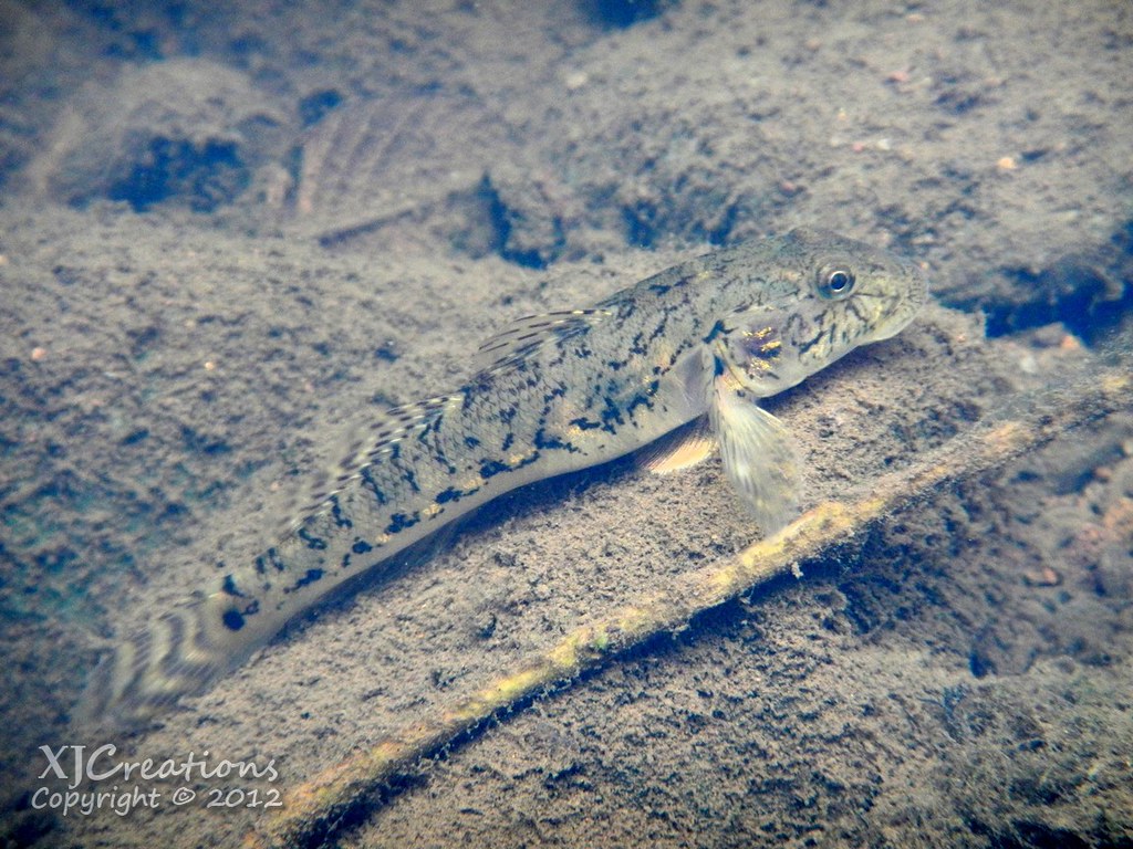 |
| O'opu Nakea |
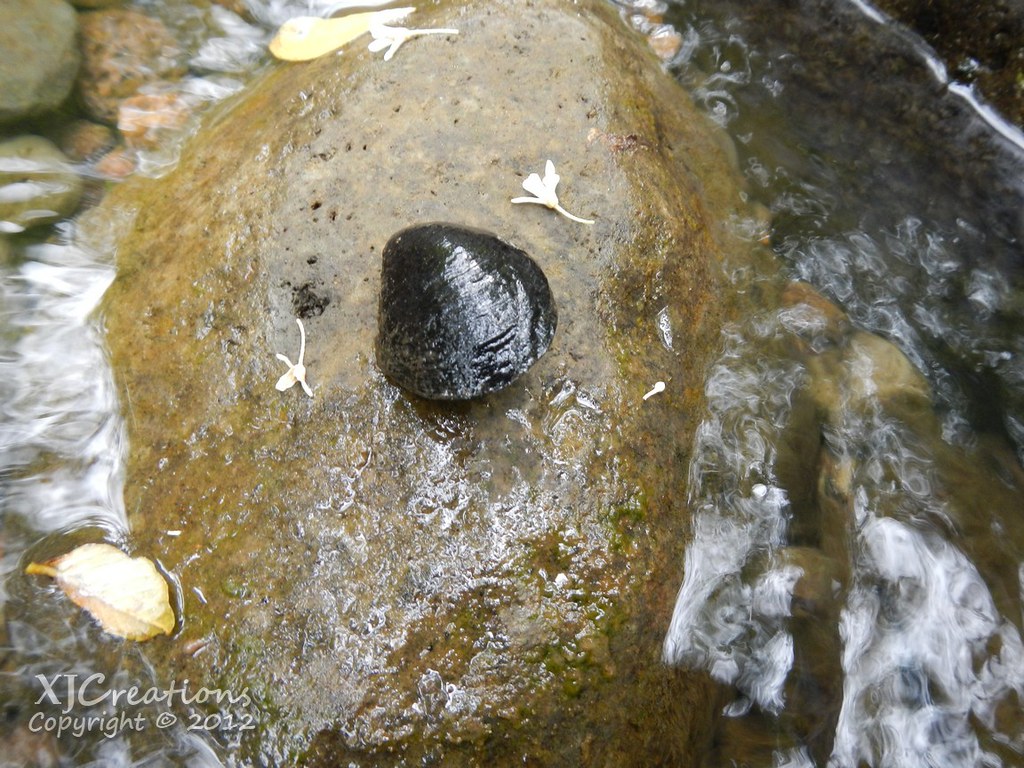
Laying upside down in the stream I noticed an endemic Hihiwai, Neritina granosa. These are rare on O'ahu and unfortuantly this one was quite dead. I placed it on this rock for a quick photo and then replaced in on the bottom of the stream where I'd found it.
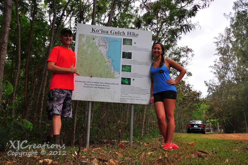
We retraced our steps back along all the stream crossings, past the weir, campground, then back up the long graded trail to the ridge and out of the valley. We stopped briefly to take a picture next to the Koloa Gulch Trail sign before heading back to La'ie Beach Park and the waiting Jeep.
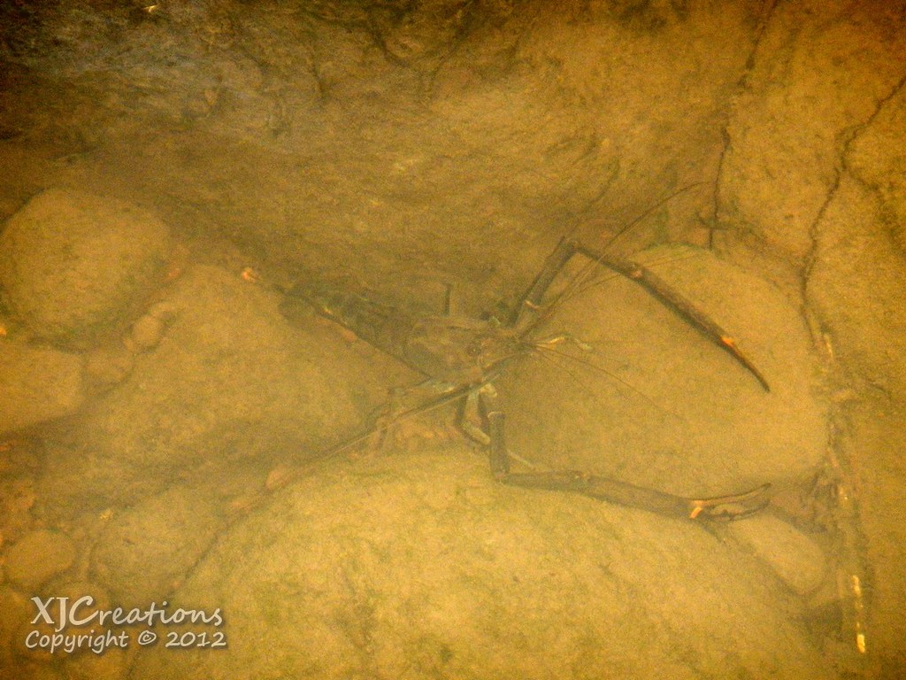
This trail was a real surprise. The waterfalls are the main draw but getting to see some of the native stream life was a huge bonus. The agricultural use of water and the altering of streams has wreaked havoc on the animals that call O'ahu's streams home. Many of these species have life cycles which require that they spend time in the ocean. Water being diverted for agricultural use can lower or completely dry the lower sections of streams up leaving these species stranded and unable to reproduce. Additionally, alien predators like these Tahitian prawns, dumped aquarium fish, and intentionally introduced game fish compete for resources which make the situation worse for native species that are already under pressure from their habitat loss.
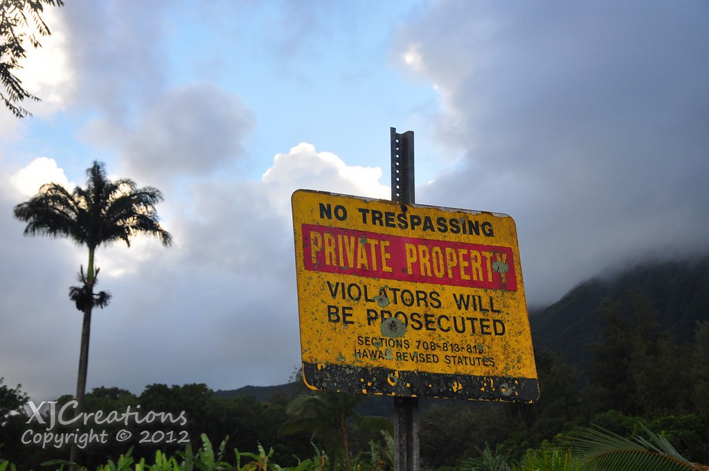
Koloa Gulch is an amazing trail and that offers a little bit of everything. Ridge, valley, stream life, waterfalls, mountain apples and more. Please keep in mind that to legally access this trail you need a FREE permit from Hawaii Reserves Inc. A permit can be picked up in the shopping center in La'ie and is good for the La'ie Trail as well. As always, watch the weather when doing stream hike, especially if it's in a gulch. Flash flooding is a real concern. Give this one a try, it's a great hike!
More pictures from this trail and others I've done can be viewed on Flickr. Aloha and mahalo for reading!
