Tuesday, April 7, 2011
Another early Tuesday 0430 wake up to less that ideal weather. By the time I left the house and headed for Wahila State Park my hiking partner II had already emailed about the weather. The weekend had been awesome for those of the normal working world but for us our first day off was looking a little bleak. As I headed over the Pali the rain drizzled down on my windshield and a call to II confirmed that it was raining at the Awa'awaloa Trail head as well. We aborted and met at Zippy's on Vineyard St. to regroup. We decided to do Aiea Ridge trail despite the rain but that changed once we got onto H-1. As we weaved in and out of traffic I noticed that Mt. Ka'ala was wide open and clear at the summit so instead we opted to head for the dry Waianae Coast.

I am completely out of my element leaving Kailua so out came my Droid and Google Navigation gave me directions to the side of the island I rarely venture over to. Traffic was light as everyone else was heading into Honolulu to begin their day. Leaving the highway we turned onto Waianae Valley Road towards the trail head. On the way we passed a the remains of a rotting pig carcass and some dumped household belongings. My hiking partner II was almost killed by a black Honda civic at an intersection as he followed to the trail too. Already it was interesting!
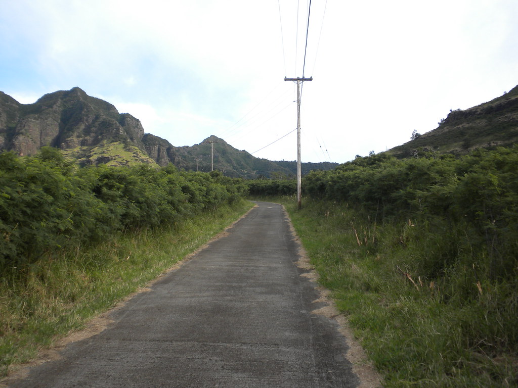
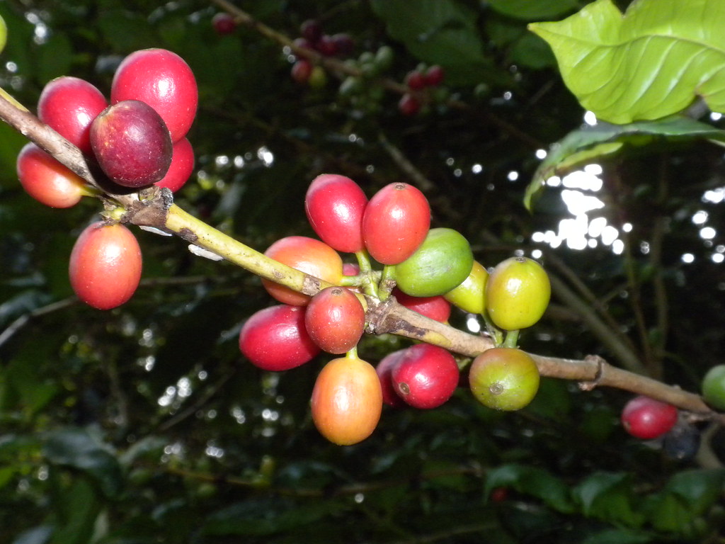
The trail begins at a hunter check-in station down a one lane asphalt road. A locked gate meant we had to leave the our cars and walk the first part of the trail up a alternating concrete and asphalt road past a water tank and two Board of Water Supply wells. Watch for wild coffee trees along this section which are from previous plantation era plantings. From the second we left the cars the grade was uphill- a sign of things to come!
Leaving the wells behind the road turns to dirt for a short time and ends at a shelter with a picnic table. This is where the Waianae Ka'ala Trail begins. Continuing up the steady uphill grade we passed macadamia trees- another remnant from the plantation era. There are terraces along this section from ancient times when kalo was gown here but I didn't spend any time looking for them and the rock strewn ridge we were climbing would have meant I'd need to make some effort to do so.
 |
| Macadamia |
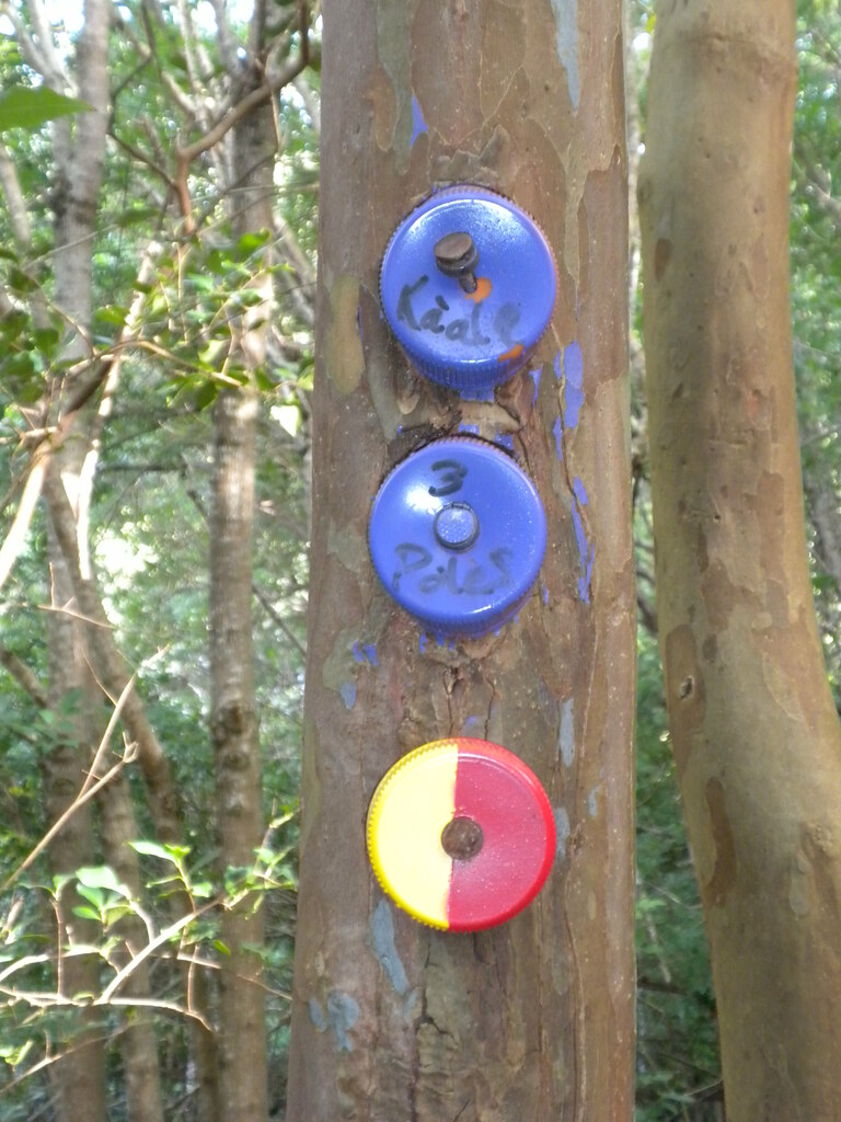 |
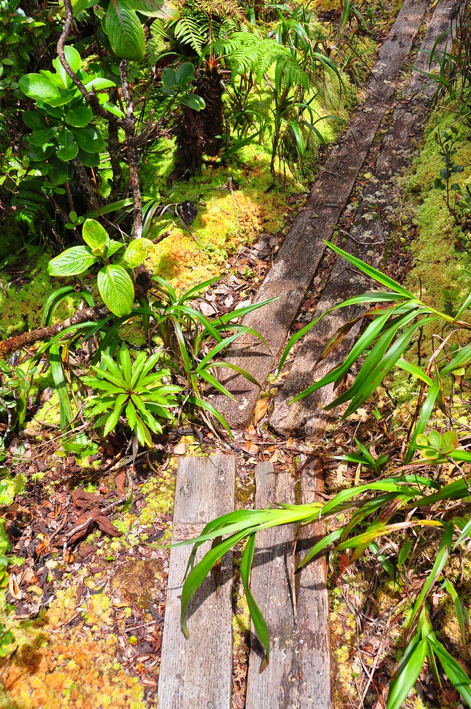
| Waianae Steve's Trail System |
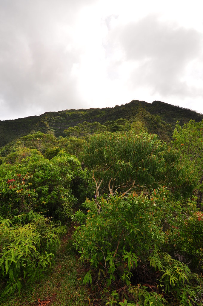 |
| Looking up to Ka'ala from 3 poles |
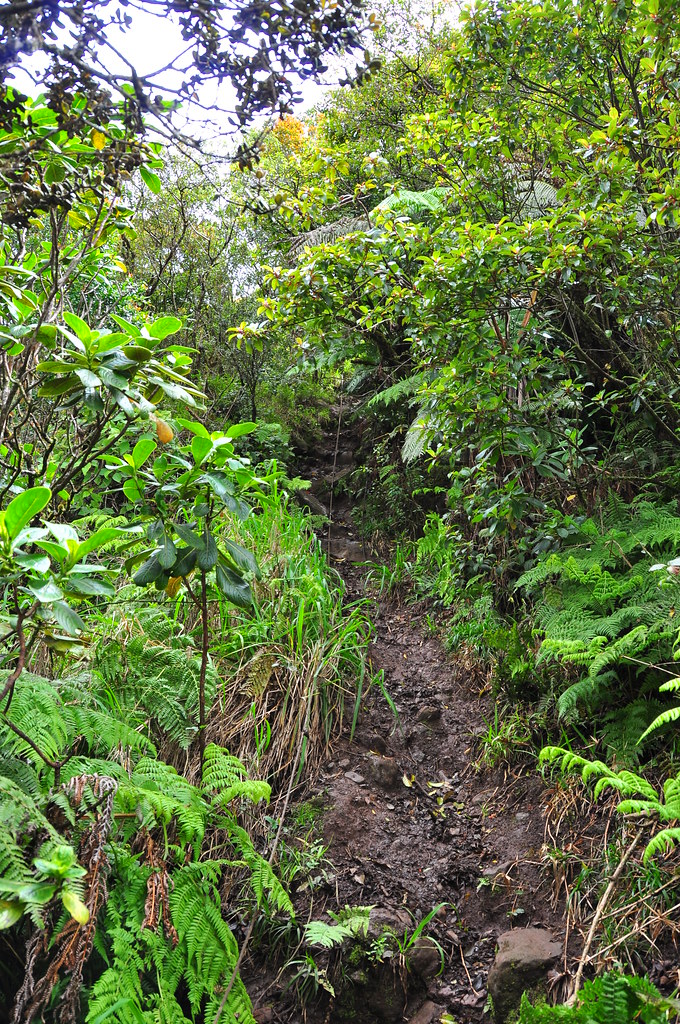
Not following our directions, we made a right turn after passing the clearly marked and color coded junction that splits the 3 poles / Ka'ala trails and the Waianae Ramble. Waianae Steve, thank you for the fantastic work! After we figured out we were on the wrong trail we headed back to the junction and followed the purple bottle caps down into a small gully and across at dry stream to the spur that would take us to the ridge we'd be hiking up to. From here on out it is relentlessly uphill except for the occasional extremely brief level off. Steadily gaining altitude we passed a large stand of strawberry guava that the trail tunneled through and broke out into an uncovered section that was all too brief. Until we reached the 3 poles, where there are three aluminum poled electrical lines, my larger Nikon stayed tucked away in my back pack. Finally we got a view of the valley below and the trail to the summit of Ka'ala.
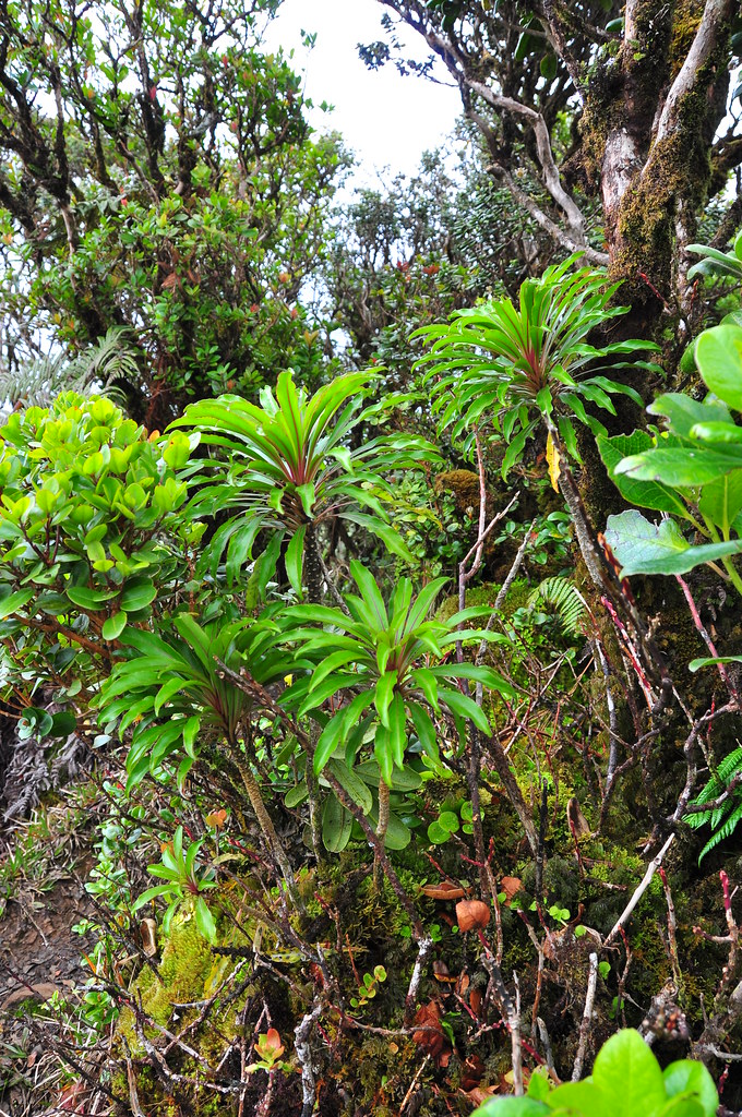
Starting at 3 poles the vegetation changes from from the mostly introduced flora below to mostly endemic rain forest. The trail continues relentlessly uphill from here on out. The views remain mostly obscured by trees and bushes as you steadily climb the ridge but every so often you're rewarded with a view of the valleys left and right the the ridge.
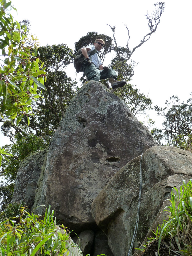 |
| Screwing around again... |
Leaving the fantastic view behind we climbed up the steep ridge. There is a long series of ropes and cables along this section for assistance, many of these overlapping. There is one very small climbing section with cables but nothing a not so great hiker can't handle.
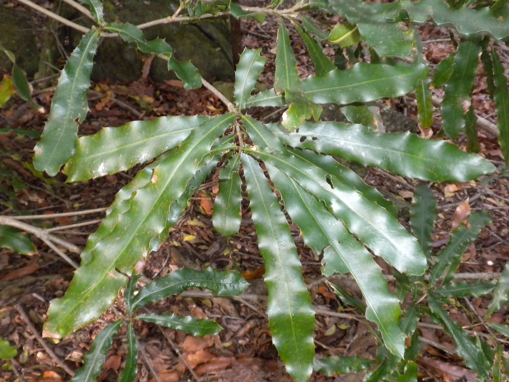
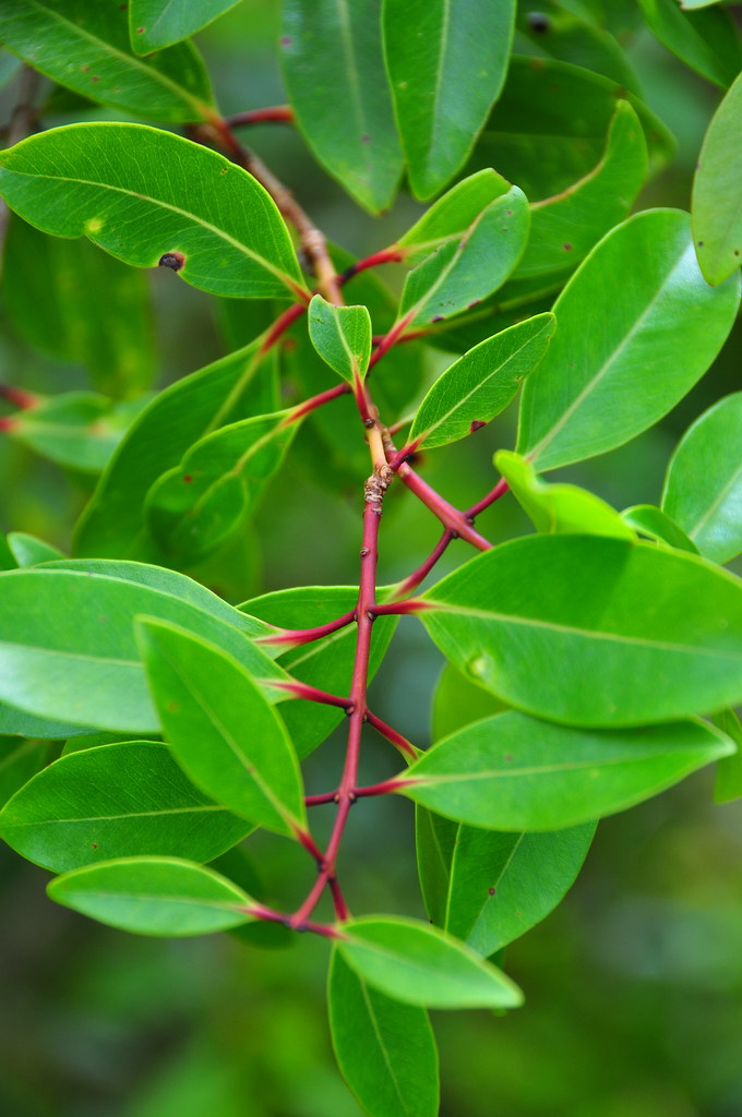
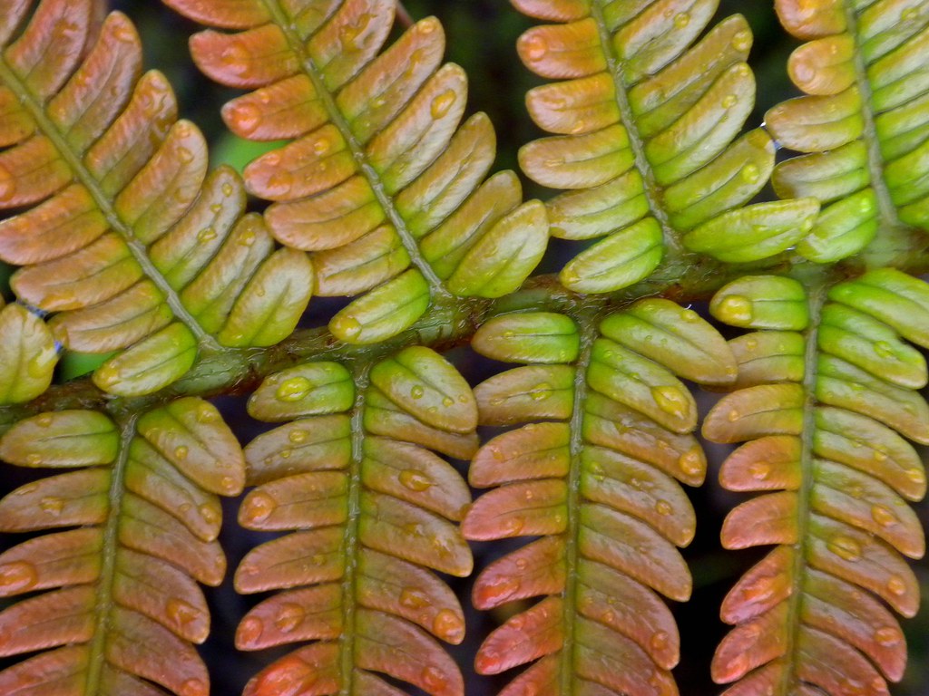
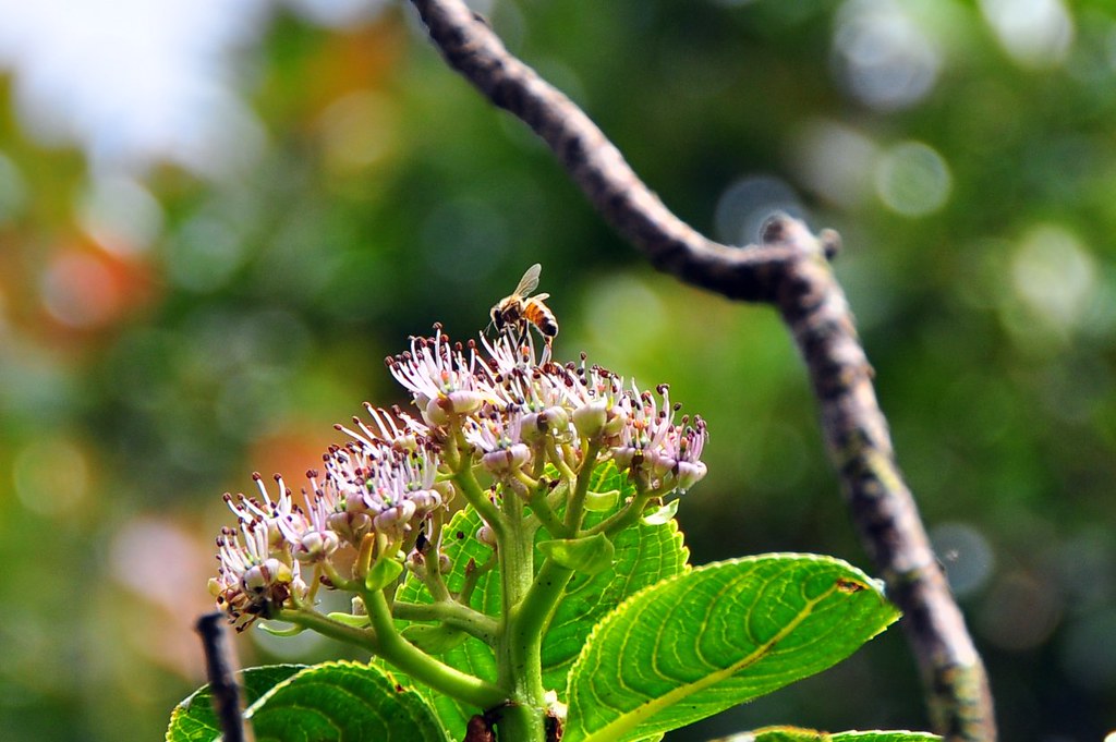
What struck me most about this section of the trail was the vegetation. Here almost everything is endemic which is sadly very rare on O'ahu. The Kanawao here were HUGE. I'm used to seeing the Hawaiian relative to the hydrangea about 3 or 4 feet tall but along the trail it was as tall or taller than 8-10 feet and looked more like a tree than a shrub. Totally amazing! I took a couple shots of a bee working on some kanawao flowers which had to be about 9 feet up. The other common tree here was alani. I'm used to seeing it sporadically along the trails in the Ko'olaus but here and atop Ka'ala it was very common as was ohia.
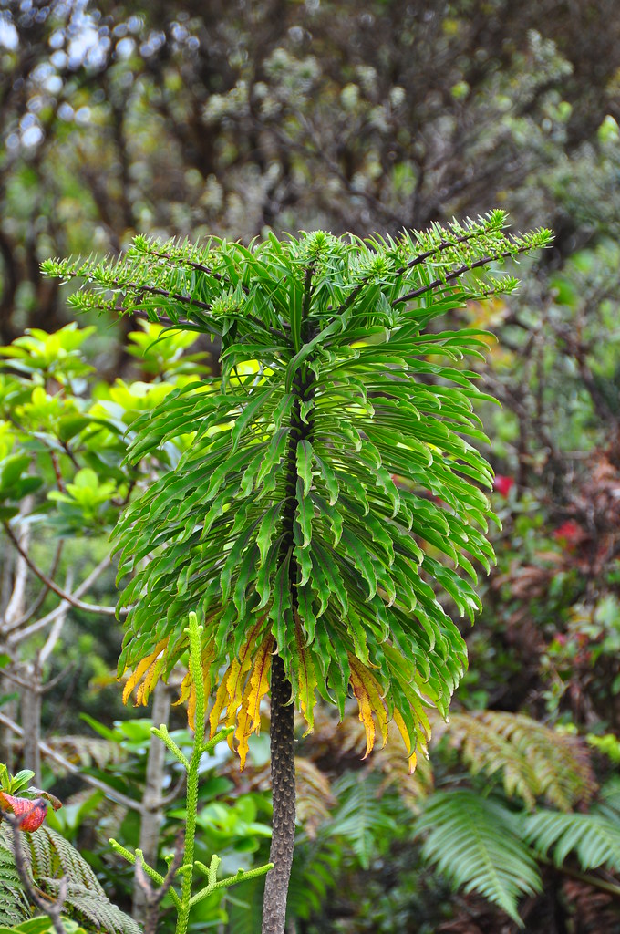
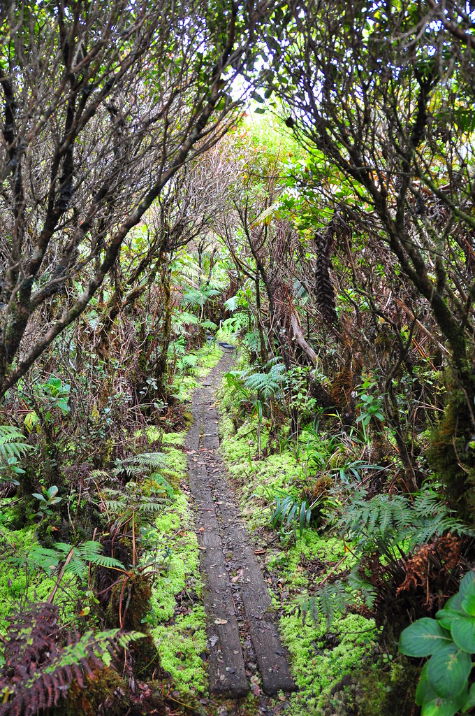
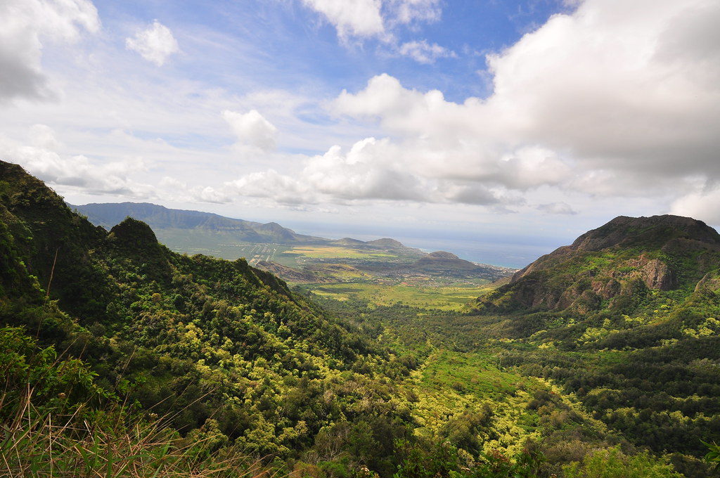
The steep climb finally relented as we reached the flat top of Mt. Ka'ala and entered the reserve. Following the boardwalk through what is normally a cloud forest we passed tons and tons of koli'i, a trematolobelia, that is common in the Ko'olaus but not nearly as common up here. To be honest, the novelty of them wore off after about 3 minutes but it was still amazing to see so many of them concentrated in one spot and as part of an endemic forest system. Following the boardwalk we eventually ended up at the Ka'ala radar site. After passing through the pig gates we followed the fence line enjoying views of the north shore and central O'ahu. I didn't mention it before but we could hear the cows in Waianae and up here their calls mixed with machine gun fire from the range down at Schofield Barracks. Weird.
 |
| North Shore |
|
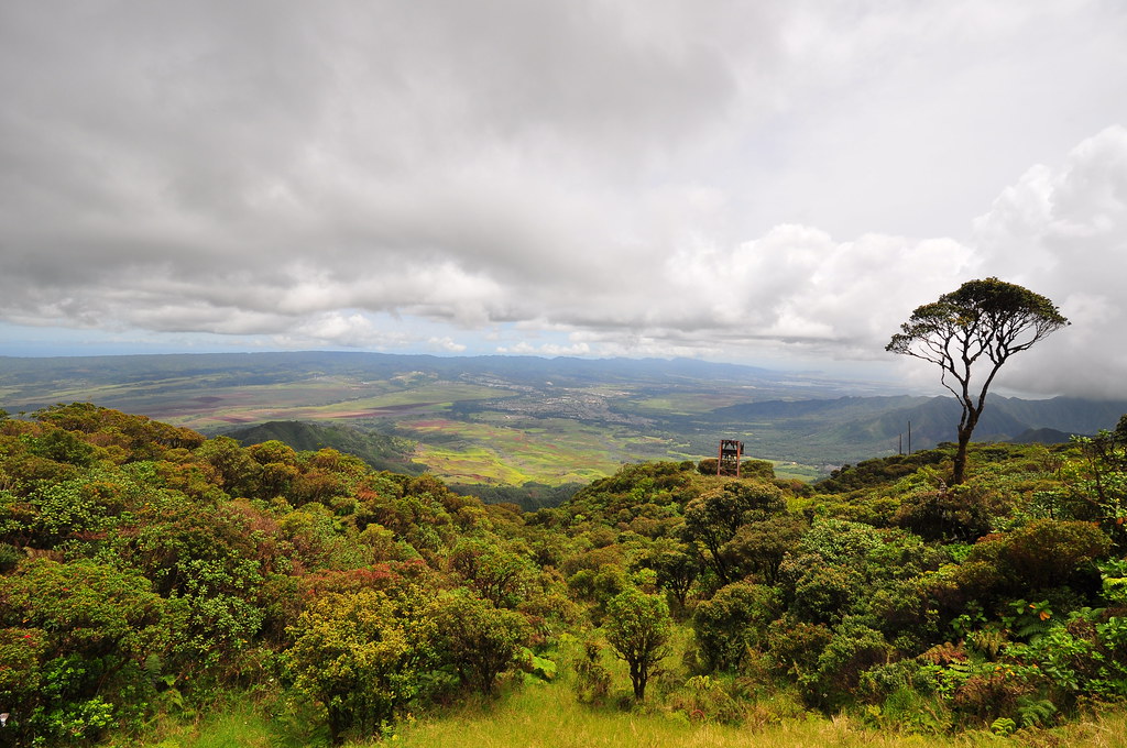 |
| Central O'ahu |
 |
| Ka'ala Summit |
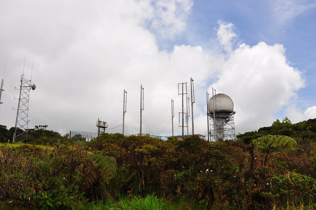 |
| Ka'ala Radar |
 |
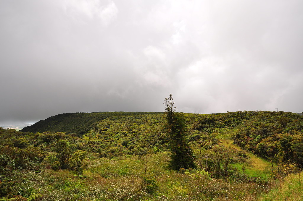
| Rain and clouds heading down |
 |
| Ahihi |
Completing our trip around the fence of the radar site, I spotted some blackberries and ventured into their thorns to retrieve a couple. Between the koli'i flowers and the blackberries that will soon fill the summit another trip to Ka'ala is warranted in May.
 |
| Koli'i starting to bloom |
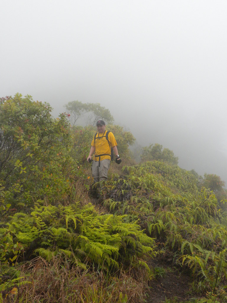
Explorations complete, we began the journey back down the boardwalk the clouds really began to roll in. I was pretty happy about it because now we'd be able to enjoy both a clear day at the top and the misty walk through the cloud forest. About 10 minutes into our descent down the ridge the clouds turned to rain. The trail had been a little muddy going up but was quickly becoming a gooey mess on the way down. Every time I grabbed a tree it would shake the rain out of it giving me a little extra dose of cold water. My partner's spirits were definitely dampened but it really didn't bother me.
 |
| Hapu'u Fern |
We always follow the one on a cable at a time rule so I got quite a bit ahead of him on the way down. I paused by the rocky climbing section to let him catch up. As I huddled under a tree I spotted my first wild orange lehua in full bloom a mere 3 feet off the trail. I have always caught the rarer orange blooms either too early or too late but this one was in full bloom. I snapped a horrible picture of it and then a couple more of of a hapu'u fern frond while I tried to stay dry.
Once he'd caught up we continued down the ridge in the rain until reaching the spur down into Wainane past 3 poles. The rain stopped as we left the clouds behind. Ka'ala is a great trail but it's relentless in grade. The whole thing seems to be a constant uphill battle to the top. It's totally worth it though!
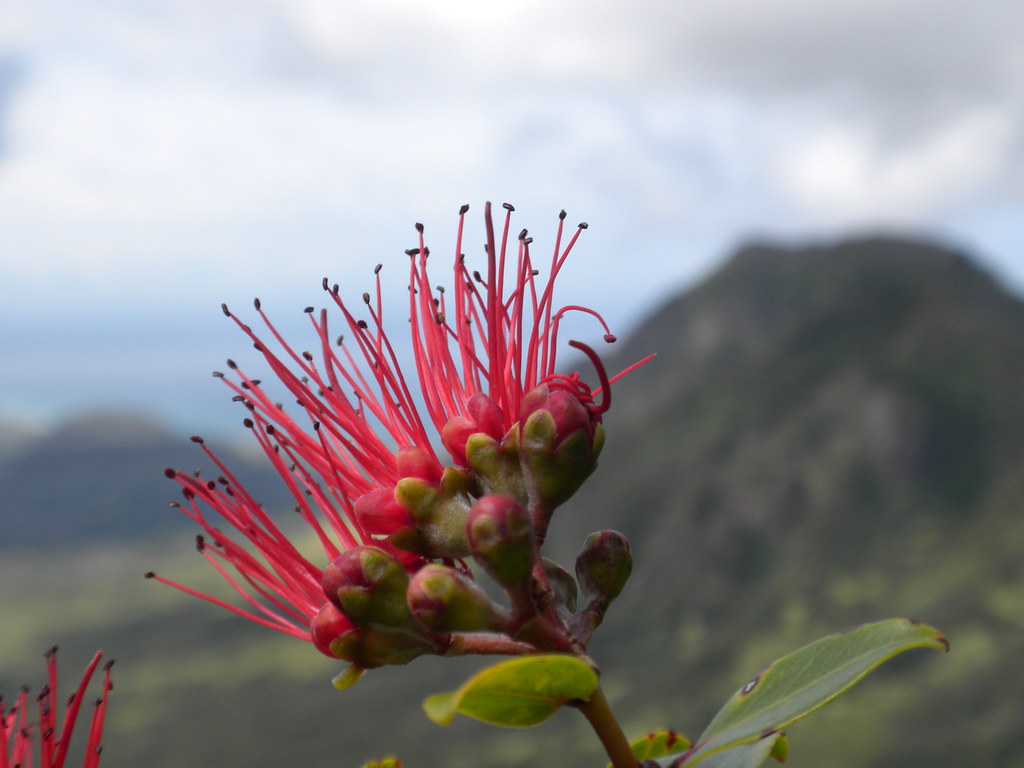 |
| Lehua |
 |
| Dubautia |
I'm a little late posting this one, it's been busy lately and I apologize in advance for the errors I'm sure can be found throughout. More pictures from this trail and others I've done can be viewed on Flickr. Aloha and thanks for reading!
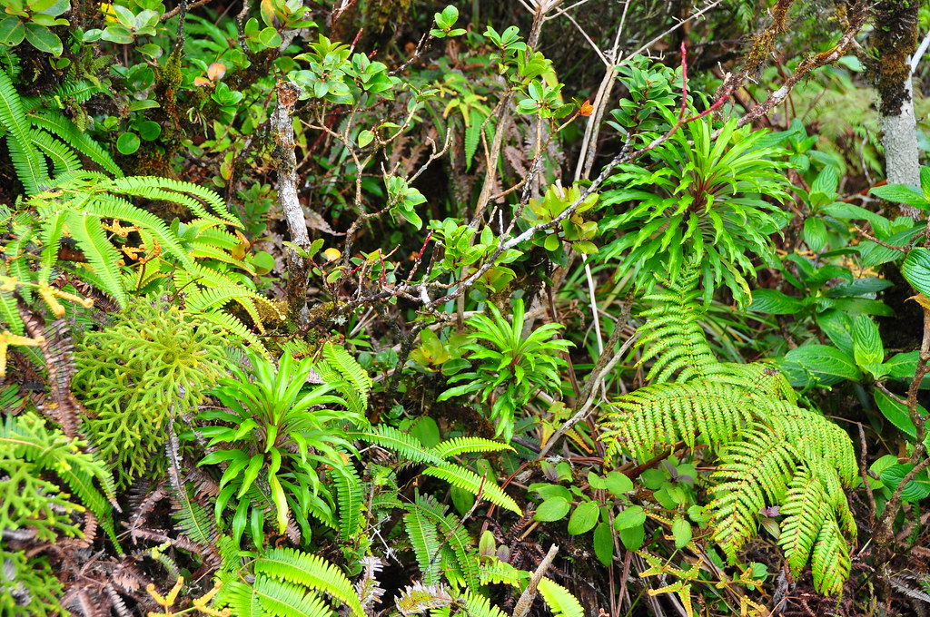 |
| Endemic forest! |


Nice Write-up XJ! we are gonna be on Ka'ala this Sunday, i was hoping to see the Koli'i in full bloom but i guess i would have to go back in May also!
ReplyDeleteHave a good time. Which way you going?
ReplyDeletewe are going up Hobb's Ridge, then along the summit to Ka'ala. Hoping the weather will be decent...
ReplyDeleteHave you done yet since you said you want to hike it again in may?
ReplyDeleteWow, missed your comment Wayde. Nope, didn't make it back in May.
ReplyDelete