 |
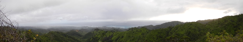
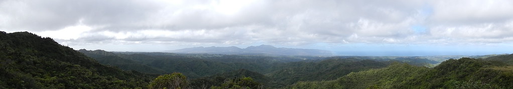
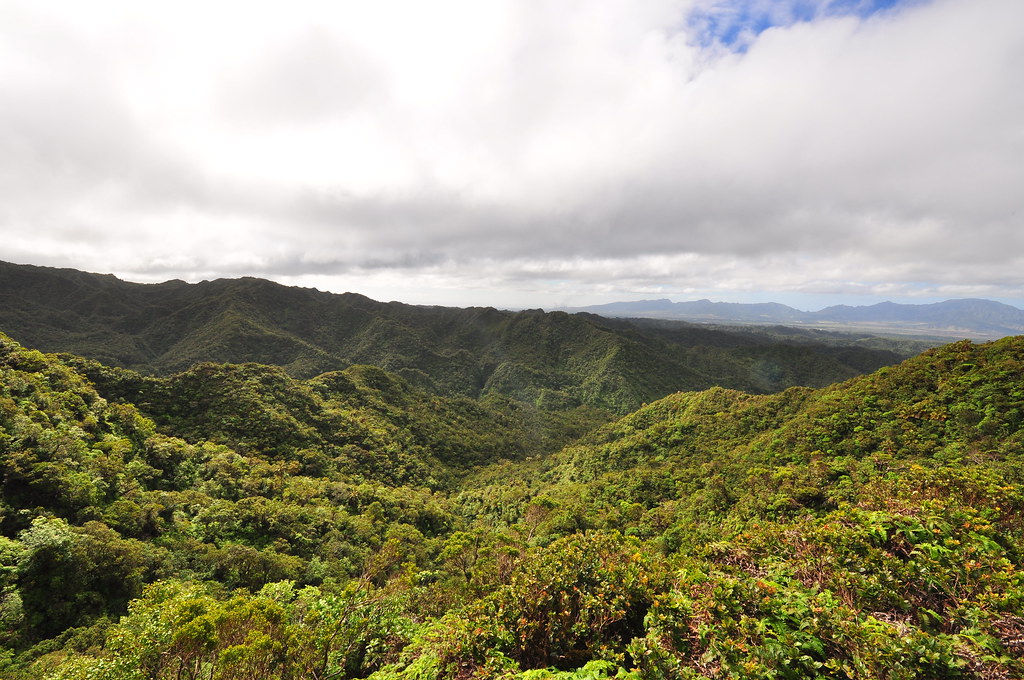
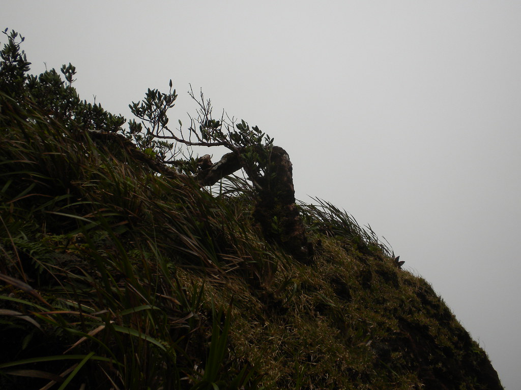
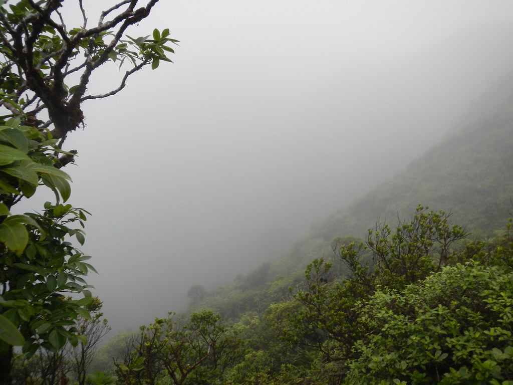
| Early morning above La'ie |
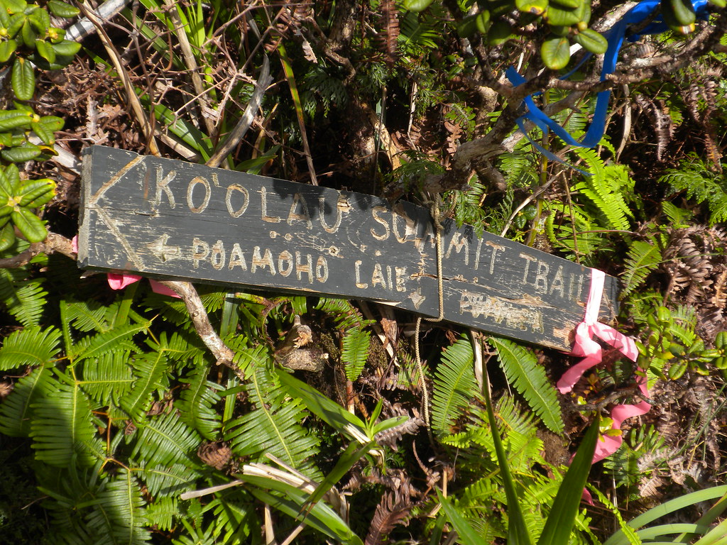
You may recall that we've had our sights set on the chunk of the Ko'olau Summit Trail from La'ie to Pauoa for quite a while now. The weather and our schedules have never meshed but despite the heavy winds and the arrival of winter weather Tuesday's forecast seemed to offer a decent shot at completing our goal. However, we decided to scale back the trail and instead of heading all the way to Pauao Ridge, we'd come out via the forbidden Castle Trail.
Knowing that this could be a rather long trip considering La'ie Trail's 6 miles, the KST section's 4 miles plus Castle's 5.6 meant about 15.6 miles of trail including the walk out of Punaluu Valley we decided to start early. Initially plans were to meet at 5am at Punaluu Valley Road. Of course I was late so we didn't get started at La'ie until just before 6am.
 |
| The road to the Cook pines where the La'ie Trail begins |
Walking up the dirt roads that lead to Cook Pines and the start of the La'ie Trail by the light of our headlamps we noticed how cool it was. Between the lower temperature and the gusty winds we didn't even work up a sweat. We passed a group of 4 or 5 young guys coming down the trail. They just had regular back packs and it was unlikely that they'd come from the summit. I guessed they'd been up looking to catch a sunrise or something. As we approached the pines I noted the smell of smoke and sure enough there was the warm remains of a campfire. Not really a good idea to burn things up here considering there's no way to put it out unless you're packing an extra gallon of water.
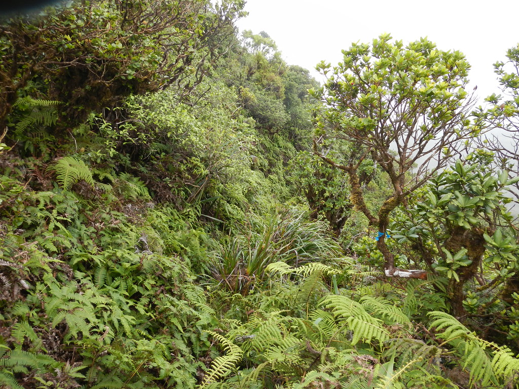
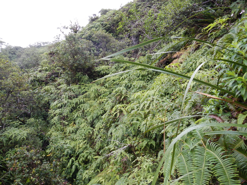
As the sun came up the darkness gave way to a high overcast layer which meant good views and little sun. Although there were a few scattered rain showers offshore the initial conditions were encouraging because we didn't want the day to turn into a muddy, cloudy, and wet march though the mountains with nothing to see except the vegetation as it passed by.
 |
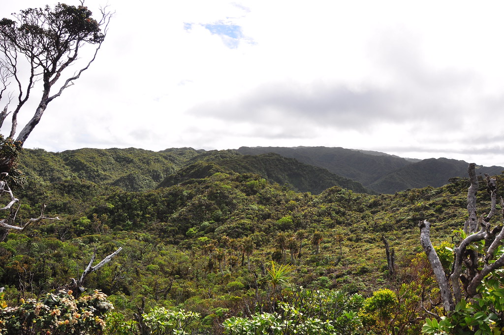
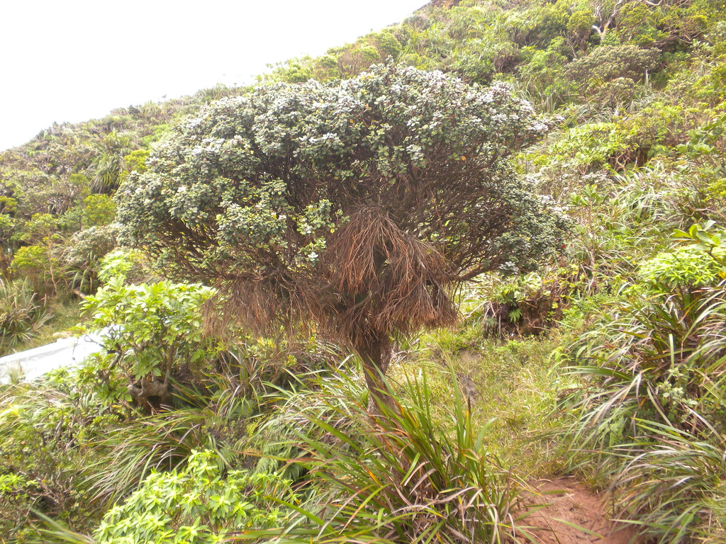
| The fire / restoration area |
I've mentioned it before but I really love the way La'ie is constructed. The climb is gentle and the grade has been preserved so well reducing it's 6 miles to the Ko'olau summit to a pleasurable stroll compared to neighboring Malaekahana or Kahuku Ridge Trails which are much more demanding.
 |
| Beautiful grade |
 |
| "The Crossover" |
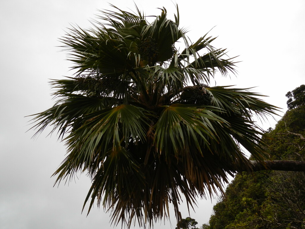
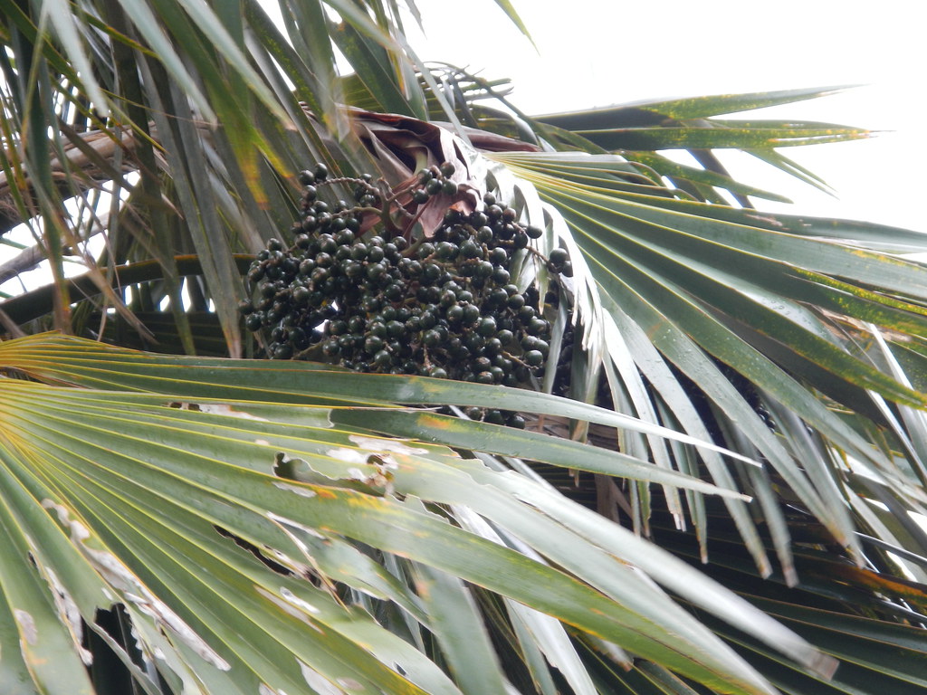
Winding up the ridge I stopped to photograph another loulu, this one a p. martii with it's larger fruit, when I was startled by a pig about 10 feet down from me in the uluhe. I must have surprised it just as much as it surprised me as I almost dropped my camera. It disappeared a short way down but I didn't hear it go far. Some of the pigs up here seem to be pretty fearless.


A little further down the trail we stopped to see the ripe red and purple fruit of a hame tree. It was used in ancient times as a red dye for tapa and I've been waiting to see the fruit that have been developing for months. About this time we head the angry buzz of a helicopter in the distance. It sounded like a smaller chopper and I wondered if it was the Hughes 500 dropping workers off at the Kawailoa summit. Minutes later a much deeper thumping sound filled the air and I caught sight of a huge CH-53 just barely topping the Ko'olau Summit heading west towards Pupakea. I wished I'd been about 15 minutes further up the trail so I could have gotten some pictures of all that activity!
 |
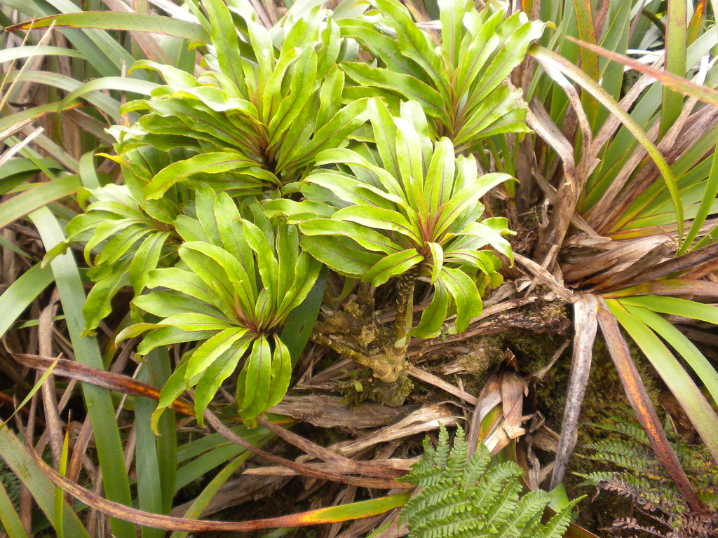
| Lehua Papa growing trailside at the La'ie Summit |
In a hurry to get started on the summit trail we departed La'ia Junction and headed on the winding windward trail towards the Kawailoa Junction.

As always the views were fantastic and when the trail switched to leeward I knew we were closing in.

Maybe 10 minutes later we were at the marshy saddle that marks the junction with the Kawailoa Trail. I never tire of the beautiful view of central O'ahu and the Waianae mountains from this area.

We could see movement at the white shipping container modified into an nice mountain cabin. Beyond were the stacks of posts and sections of galvanized fence that were being installed further up the summit.
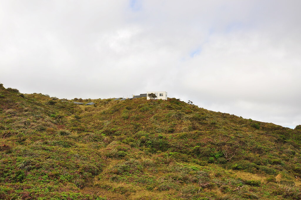
As we crossed the marshy little valley and headed to the helicopter pad one of the guys came out to give us a once over. As we approached he came over to introduce himself and we chatted for a few minutes about the fence, the summit trail, and his stay at the cabin. He said they'd just arrived short time earlier via chopper and would be working until Thursday. After our conversation we departed up the Ko'olau Summit Trail which continues right at the edge of the helipad.
 |
| Center frame, the small LZ carved where the searchers were dropped |
 |
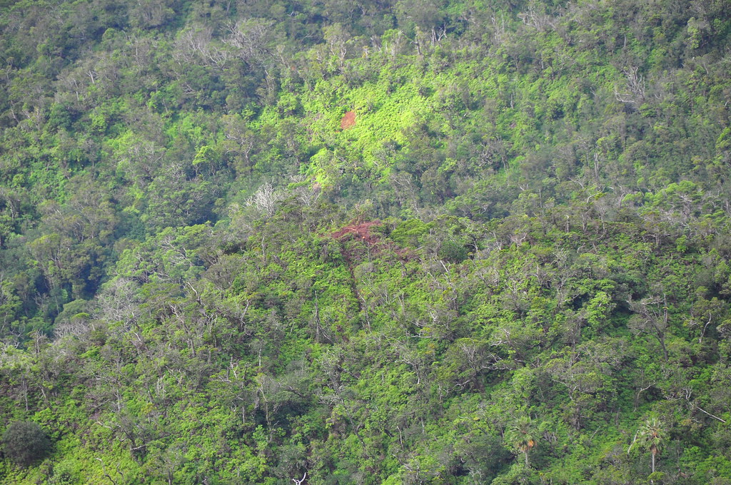
| The valley were Ensign Harold P. Demoss's F6F crashed in 1945 |
Continuing along the summit I stubled across some shell casings which looked like .308 to me. Our next landmark was Pu'u Kainapuaa where we were treated to another view of the flank of the Ko'olau volcano.
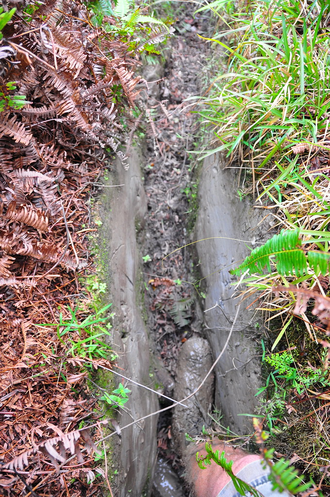
Winding our way upslope to Pu'u Ka'inapua'a (pig procession hill) we crossed a point I'm calling "The Narrows" because of a very narrow trench that you pass through. All along the trail there were pig tracks making the area well named.
Soon after we got our first view of the new fence cutting our way through the green foliage of the mountains. I really had mixed feelings the second I saw it. On the one had it's an ugly blight on the landscape but on the other it will do much to protect the forest from the pigs. No matter the purpose I have to say it was a mood killer. As we approached the fenced section it was interesting to see what the trail looked like completely cleared. All it needed was to be leveled and it would have appeared as it did 80 plus years ago when it was built. Our path was laid out before us crystal clear as the galvanized steel snaked across the landscape.
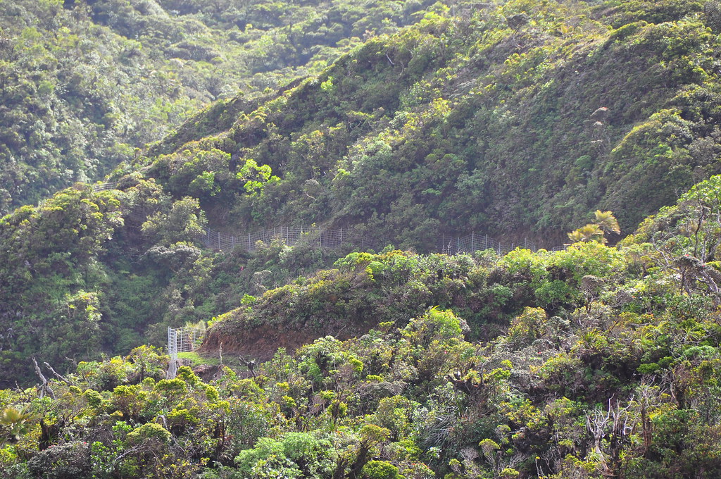 |
| Our first look at the new fence |
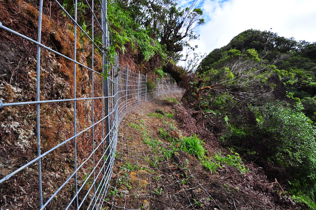 |

With the fence now behind us the trail returned to it's scratchy and uncleared state again. There's a surprising amount activity by the Army up here. Beyond the fence they're building an area laced with rat bait to help reduce their destructive activity.
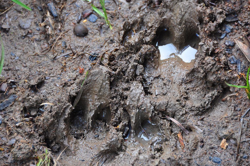
The multitude of pig tracks along the trail reinforced the reasons the fence was being constructed.
 |
| Tons and tons of pua'a tracks in the mud |
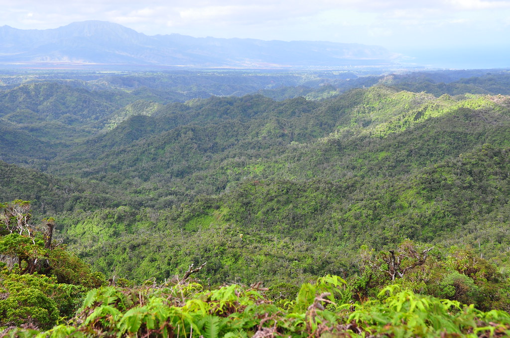
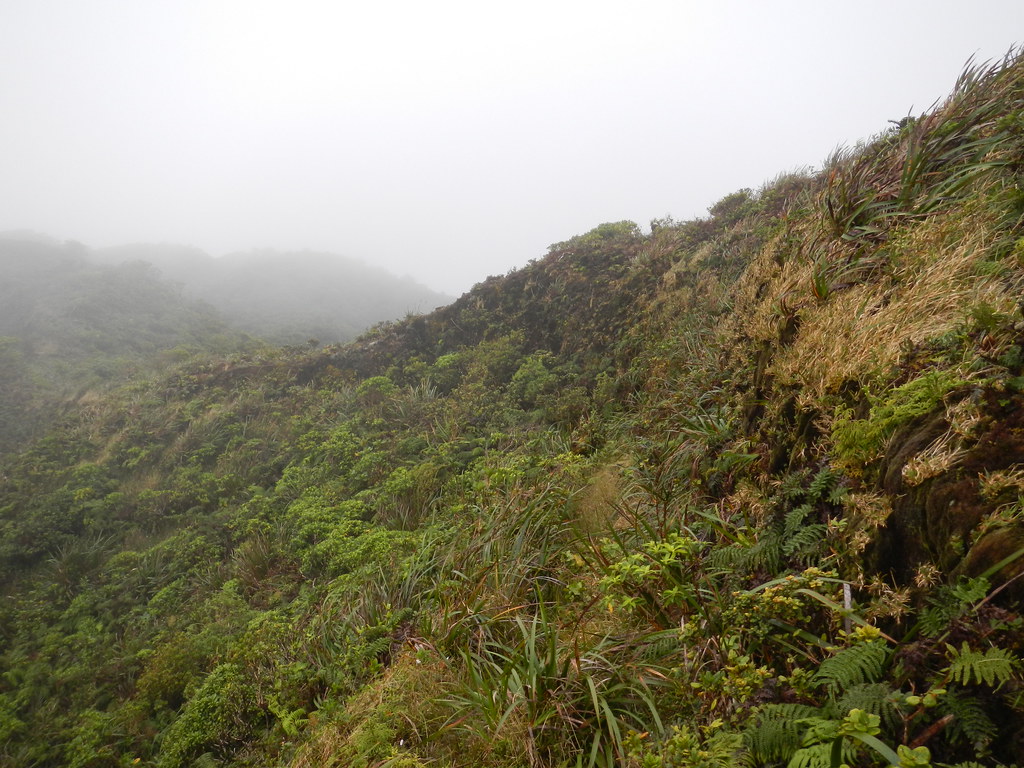
Our next stop was a scenic overlook with a spectacular view of a huge valley where streams of Kawainui originate. I could see one large waterfall on the opposite side. I thought to myself how great it would be to take a few months off from work to explore all these valleys.
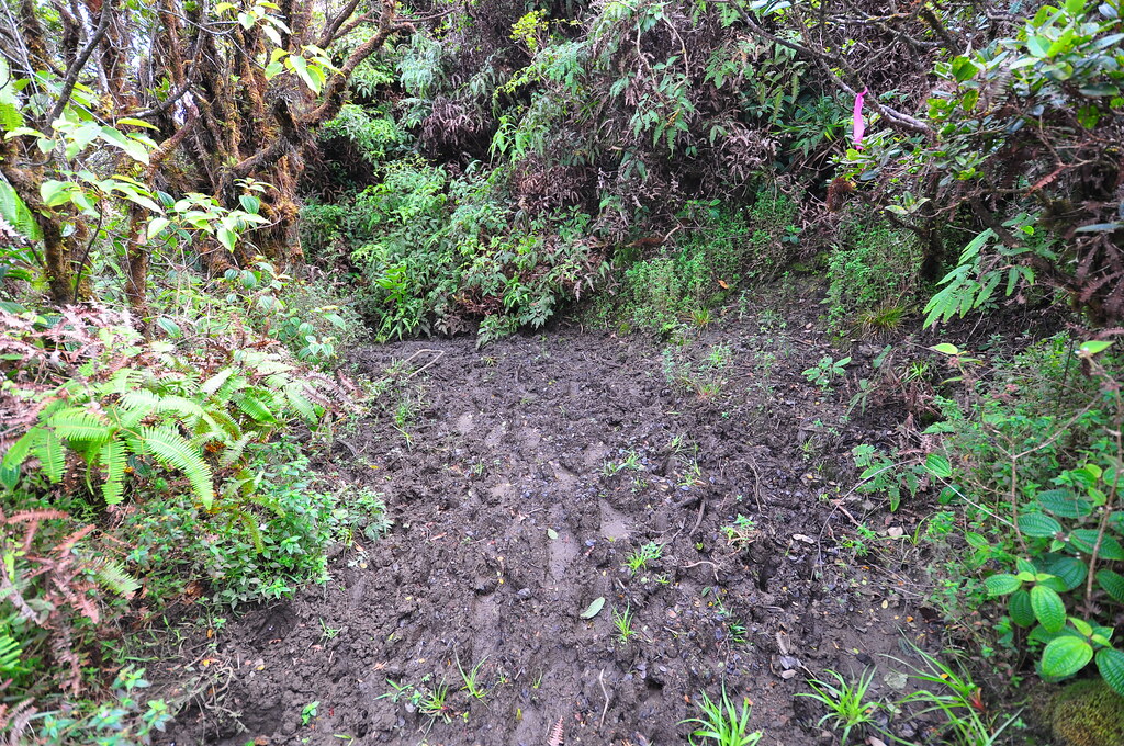
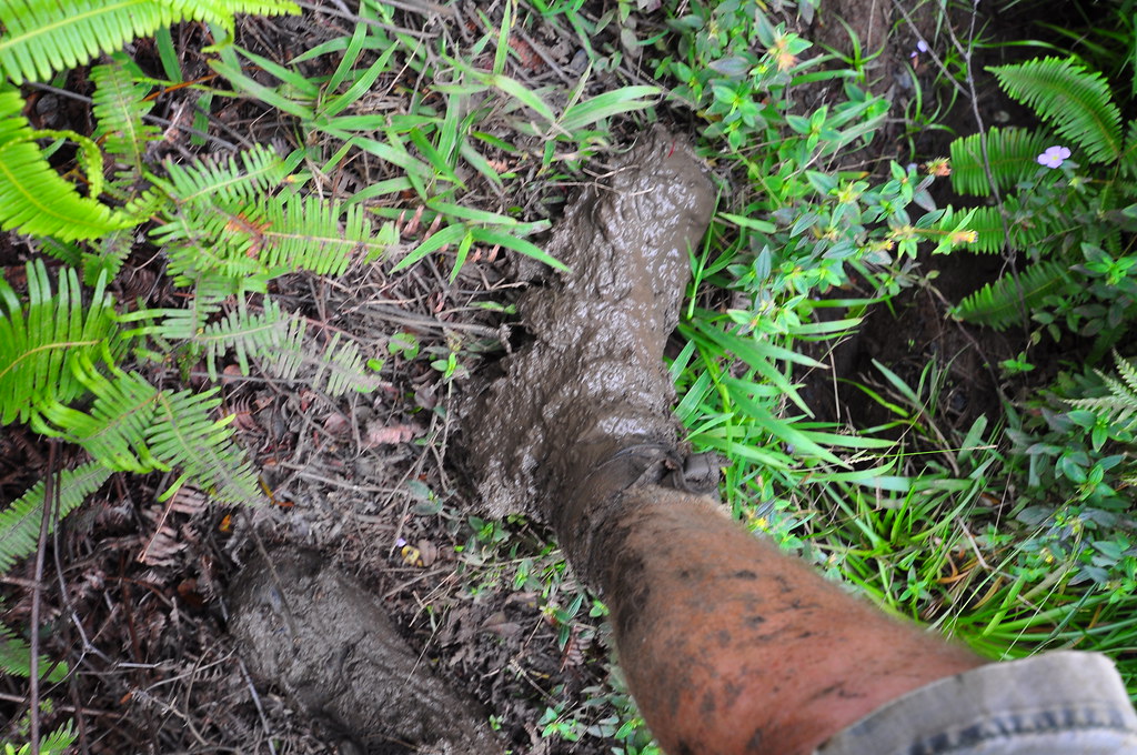
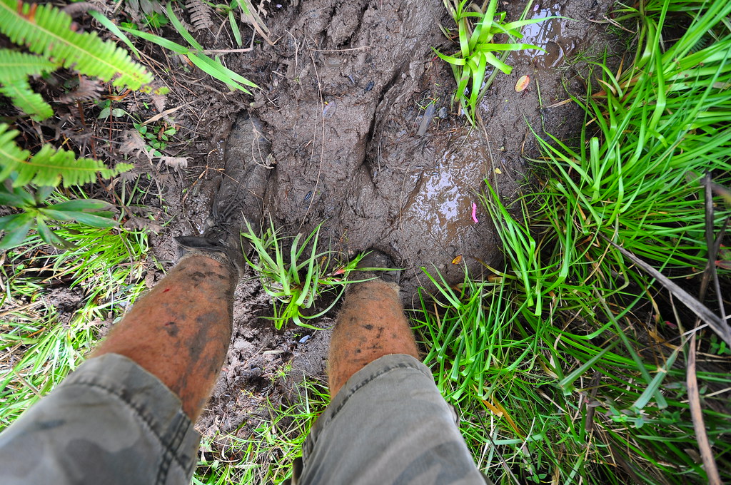
The trail continued upslope along the edge of the caverous valley below and the mud worsened. Often times it reached the top of my Welco jungle boots making for slower progress.
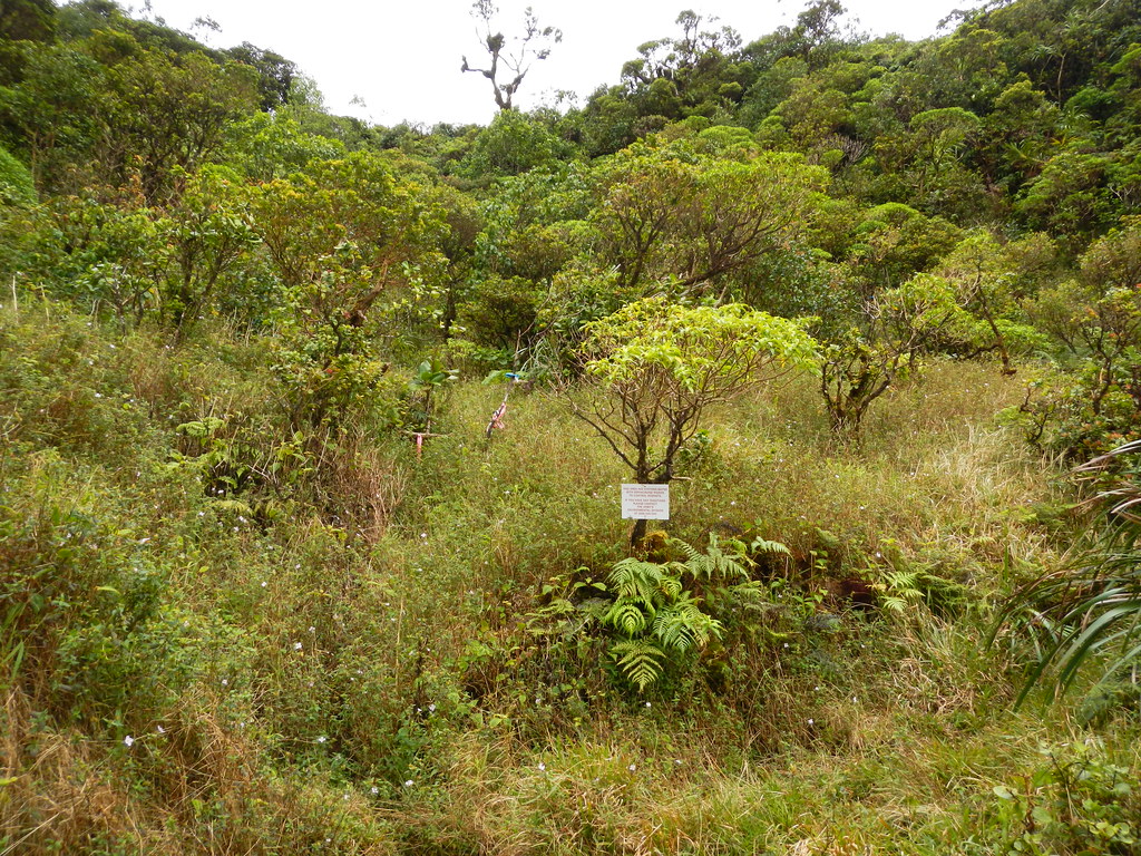
Rounding a corner we found ourselves near the starting of a foundation for what I'm assuming is to be the replacement of the Kahuku Cabin. There is also a smaller foundation just prior with a green box on it. I have no idea what it is but I'm going to call it the Kahuku Crapper just in case it it's some kind of outhouse.
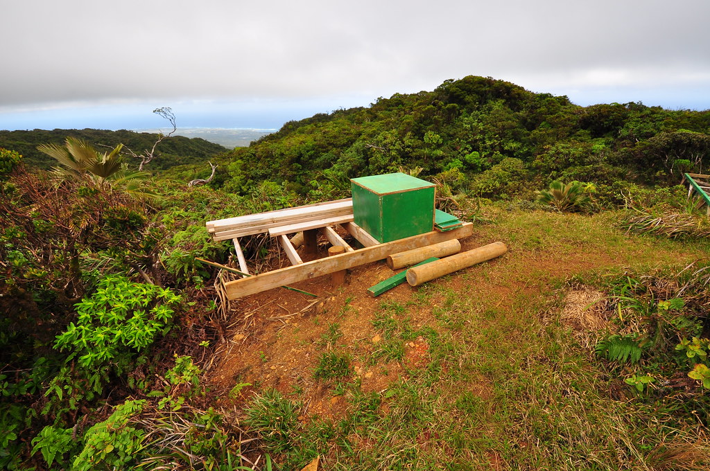 |
| Kahuku Crapper? |
 |
| Kahuku Cabin? |

We departed via the short boardwalk which I suppose it was constructed from the remains of the original cabin and enjoyed a windward section of the trail carved into the ridge.

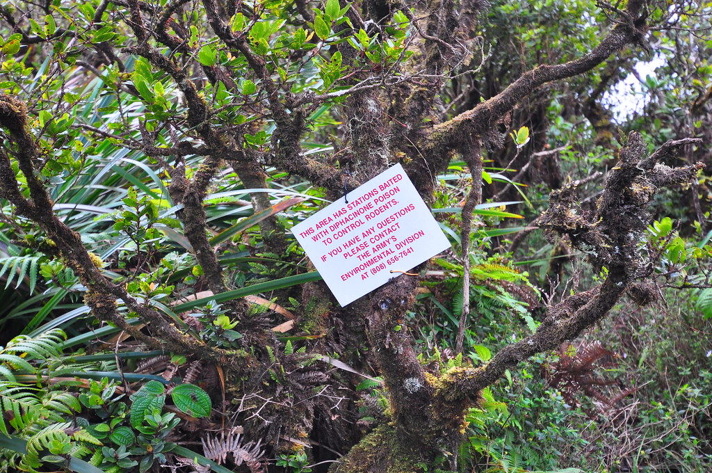
The fantastic windward section was all to short and soon we were back on the leeward side. In a depression we passed a heavily baited area with a warning sign.
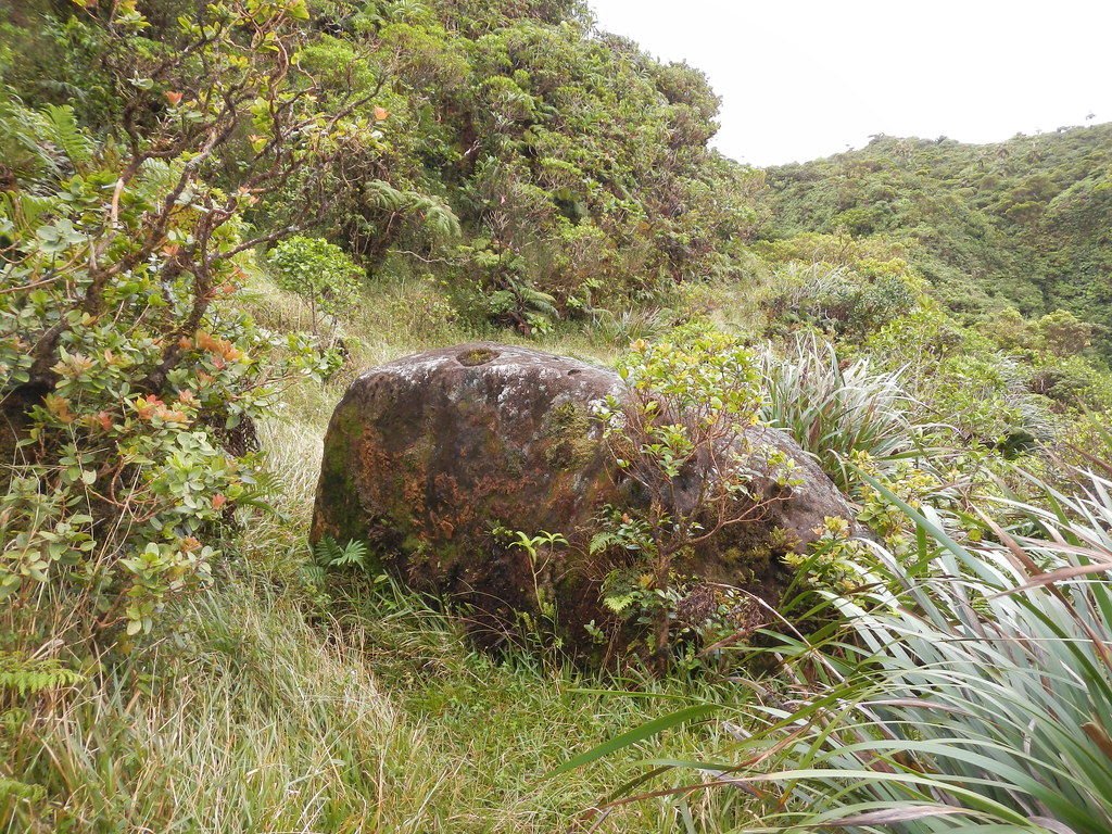
There is a huge boulder along the trail with moss growing on it. Not something you see very often on the summit trail.
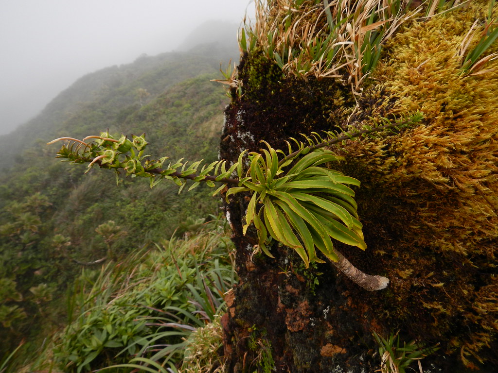
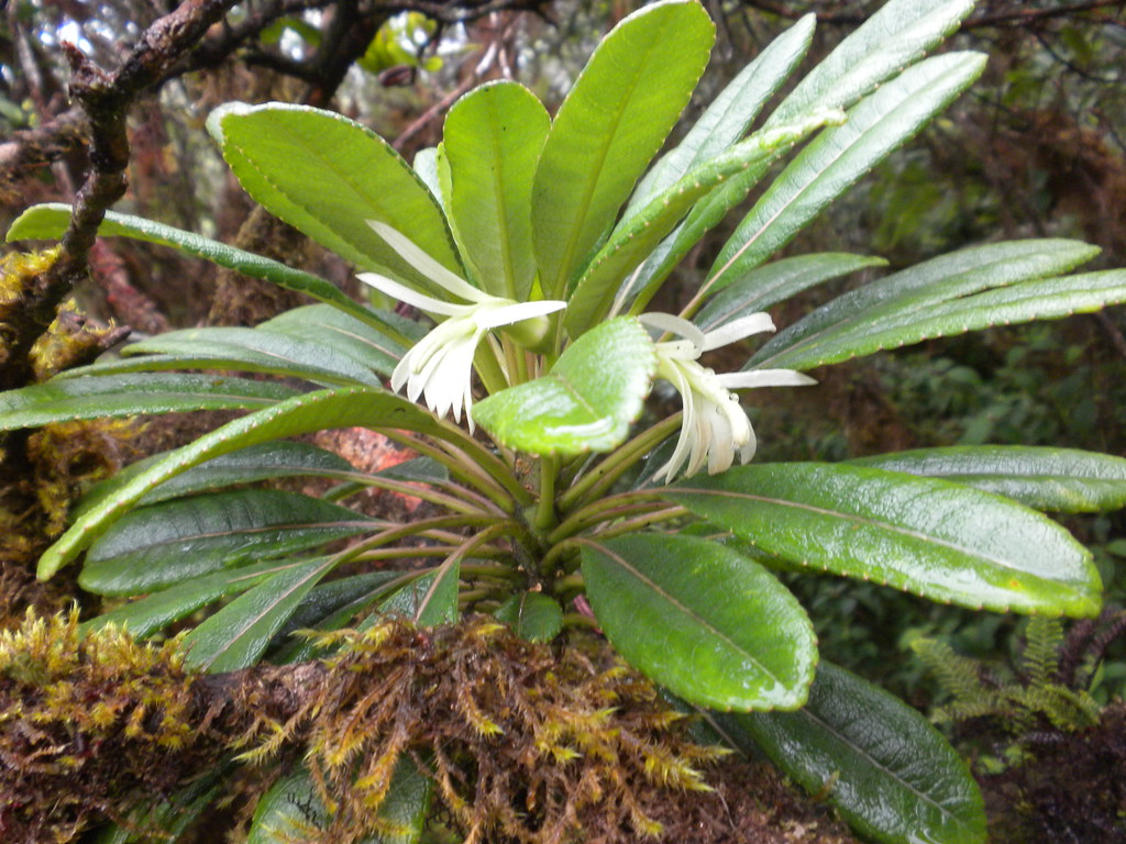
A very short while later on the leeward section I passed some kind of Clermontia. There were no flowers and since I'd only seen one other kind of Clermontia in my life I had no idea which species it was. Turns out this is C. oblongifolia as identified by plant expert Joel Lau.
 |
| Clermonia oblongfolia |
There's a short but steep climb shortly afterwards as the trail stays to the leeward side.
We continued to slog our way though the damp vegetation until we reached a small open area. We crossed the windy little meadow which I suspect would have had some really nice views if it hadn't been for the clouds swirling around us.

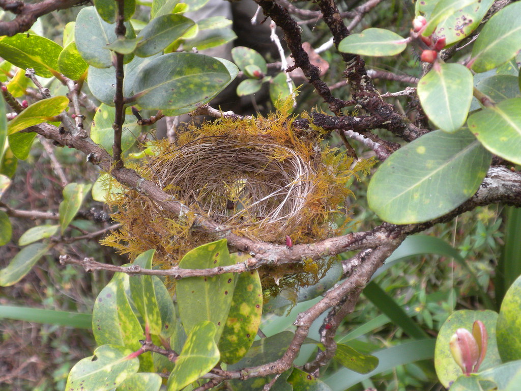
Just beyond I spotted a bird's nest in an ohia tree. There were no eggs nor did we see a bird.
Our journey continued along the misty and muddy summit. Eventually we reached yet another windward section cut into the summit. I noticed a few alani in this area that I haven't seen before. The leaves are smaller and curled. They have been sculpted by the winds that blast the summit and one of them was bent literally 90 degrees.
In the same area there was a Koli'i in the process of blooming. One of it's flower spikes had already done so and the other was getting ready to. I'd always been under the impression that this species and it's endangered cousin t. sinularis both died after they flowered. I'd since learned that was not always the case and this one was also showing that it wasn't going to be monocarpic because it had already begun growing a new crown.
A short distance beyond we ran across another Koli'i displaying it's regenerative abilities. It appeared that at some point in the past it had been cut or broken which had caused it to grow a whole series of branches. It's not typical for Trematolobias to branch and especially not this many times.
We left the windward section in the mists and again found ourselves on the heavily vegetated leeward side.
The trail suffers periodically from slippage due to age and just after this leeward section with a short bypass we found ourselves in more Ko'olau mud.
As I dropped my left foot into the gooey bog/trail and sank about midway up to my knee, I heard a pop like the sound of a cracking knuckle only it was my knee. Strangely there wasn't much pain associated with it. However, shortly thereafter I started to feel a dull aching spreading throughout my knee. Uh-oh I thought as I started to limp down the trail. We were now past the head of the large valley and the clouds obscured what I knew had to be a great view of both the windward and the leeward sides of the islands.
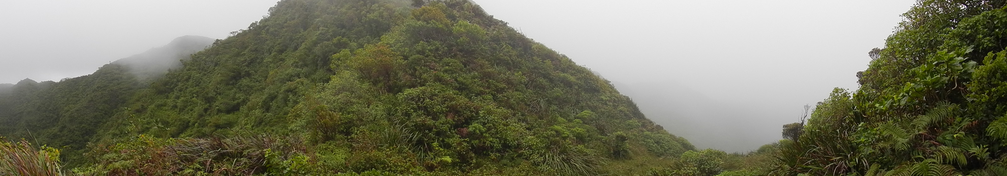
The trail continued along the windward side of the crest and approached a small windward corner typical of the trail. Here there was a what appeared to be a trail to the right and one to the left that vanished. I struggled up and down, left and right to try to regain the correct route unsuccessfully.
 |
| Where we lost the trail |
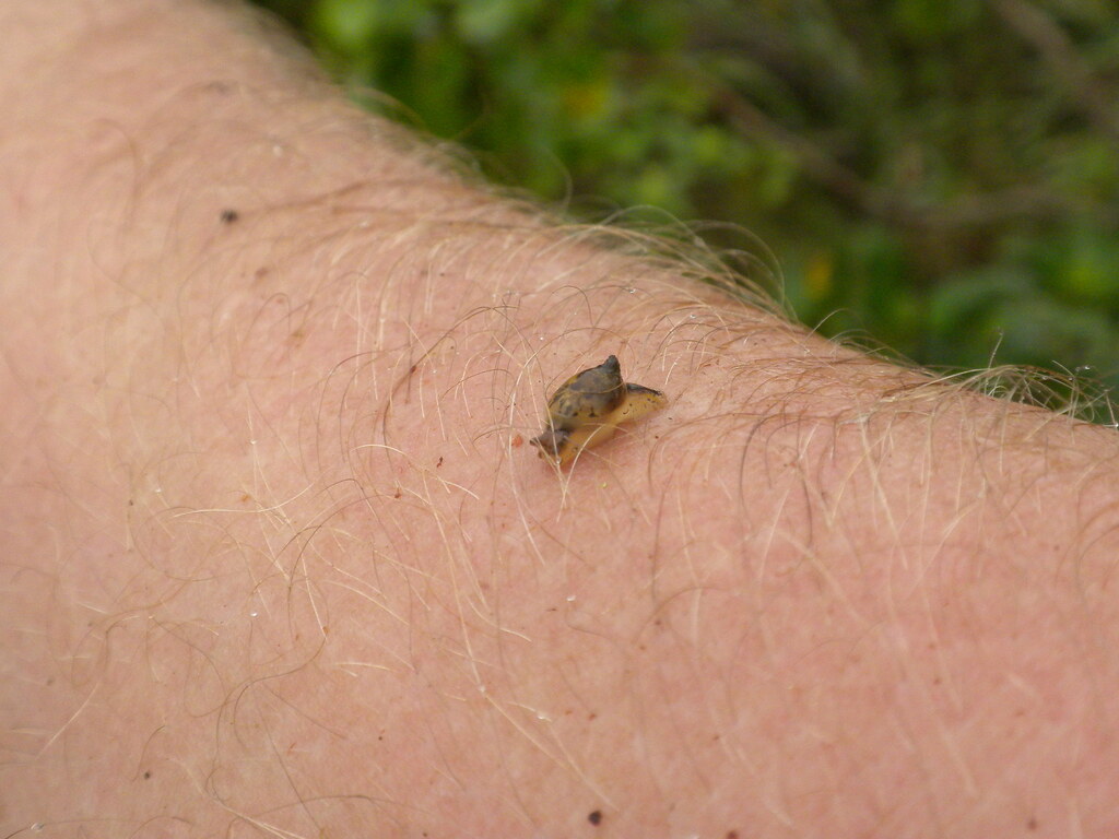 |
| Hitchhiker! |
 |
| The Castle Trail Junction |
We reached Castle Junction marked by a rusting metal stake and a pvc pipe coated in ribbons at 3:46pm. The clouds still surrounded us depriving us of what must have been a great view of the island. The trail down from the summit was still fairly open and well defined for the most part. In fact, I don't recall losing the trail at all in this section. I was glad to be established on the Castle trail but with the late hour and my knee slowing me down I was anxious to get to the junction above Kaluanui stream and onto familiar territory. After contouring around what must have been a small pu'u the trail began down a ridge before making a hard right turn to contour again then a hard left to follow the ridge towards the Papali Junction. Along the way stopped to duck under a limb and noticed two beautiful white flowers. By their shape I knew they were a Clermontia of some kind. Turns out they're C. persicifolia which I'd never seen before. The new to me discovery lifted my spirits for a while- right up until it started raining.
That Clermontia is about half way down that segment as an equal distance later we made another hard right and were confronted with an almost "T" intersection. This totally threw me off as I wasn't expecting an intersection. I didn't need any surprises this late in the day! Thankfully an exploratory right turn solved the mystery. To the left is the continuation of the trail and to the right is a very short path towards the spectacular waterfall which we were unable to see in the clouds. The loud sound of a roaring falls was the only way I knew it was there and I hoped that was normal and that the stream we'd be crossing hadn't swelled below from rains.
 |
| The Waterfall |
Winding down to Kaluanui Stream started to tax my knee even worse. At 6:27pm we arrived at the stream crossing and my left knee was in agony. To make matters worse my right knee was really starting to hurt too. By now it was completely dark, we were enshrouded in the mists of the clouds, and it was still raining. Thankfully the rains hadn't swelled the Kaluanui Stream much and we were able to cross safely. Here my previous experience was invaluable because I knew where the trail was on the other side.
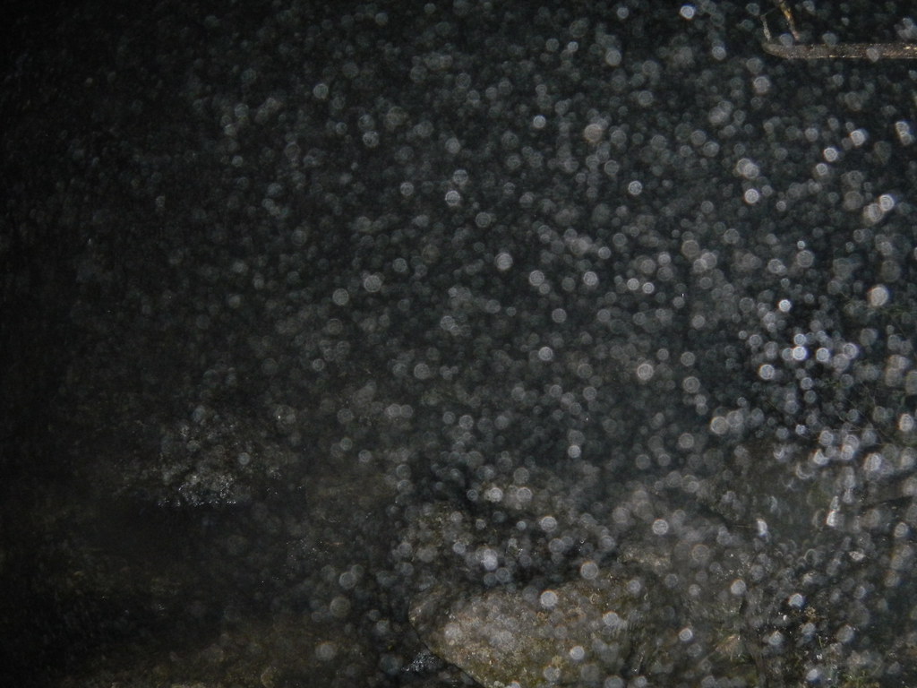 | |
| The stream crossing. The millions of spirit orbs are the result of my flash and the mist of the cloud and rain. |
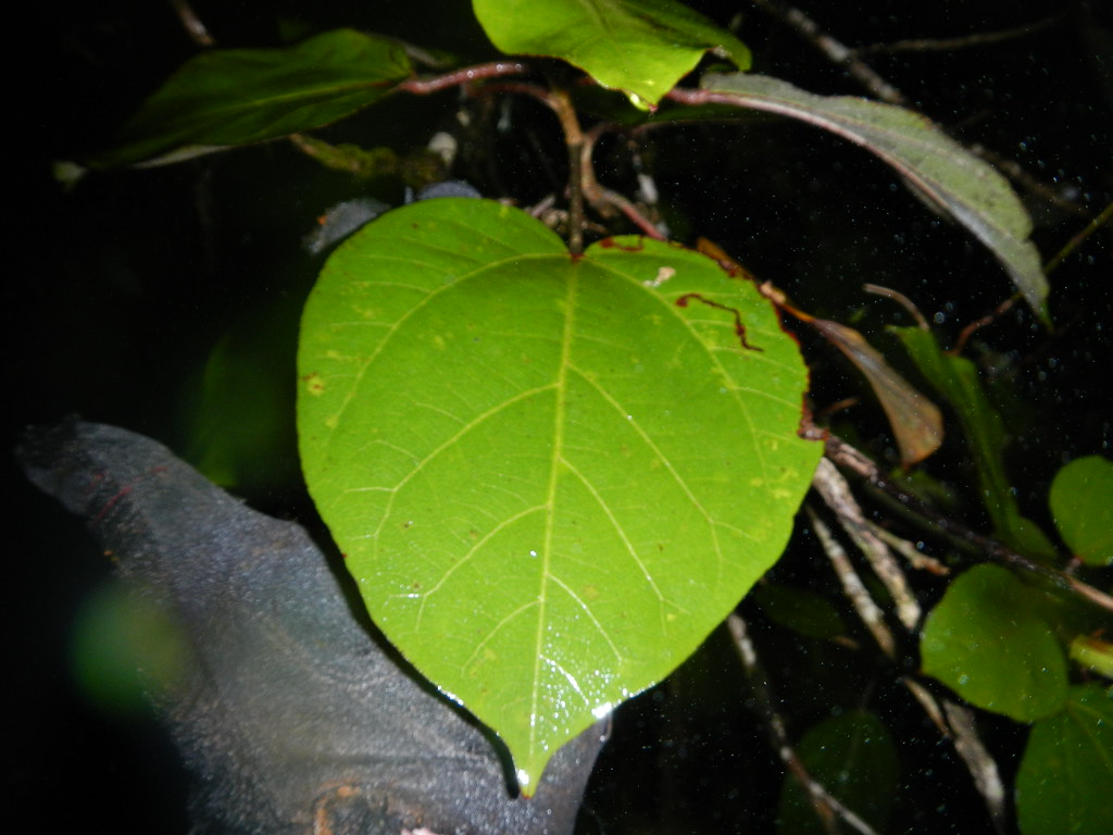
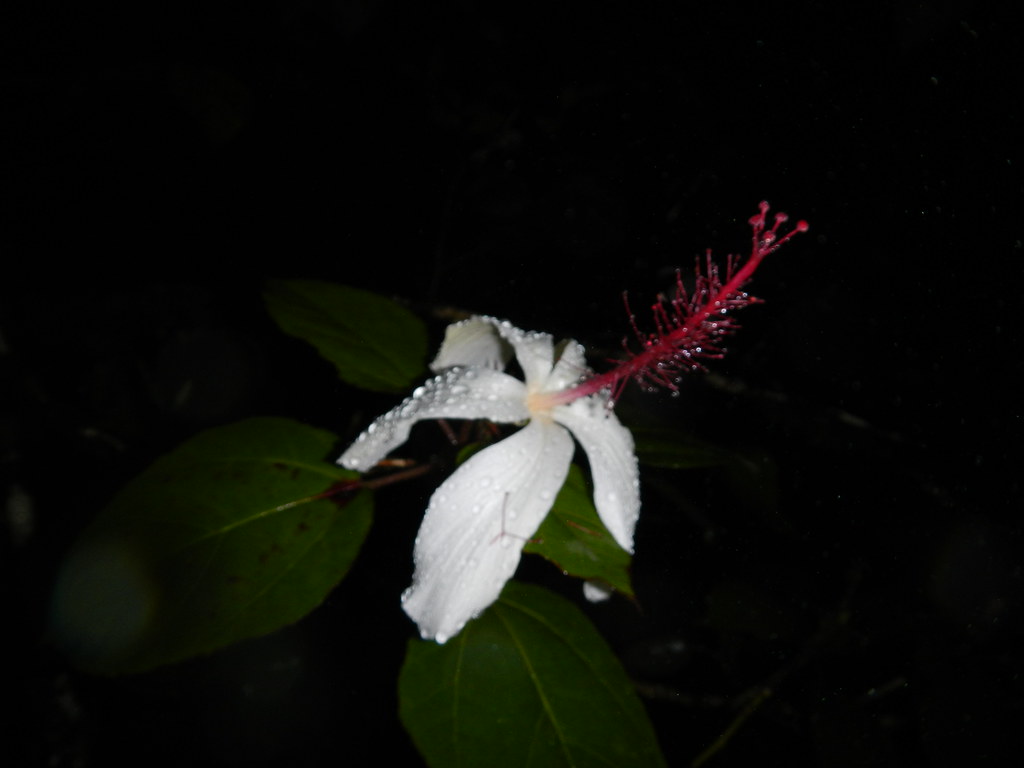
We crossed diagonally perhaps 40 feet upstream to the trail which is near a large Hibiscus Arnottainus. Despite my misery I couldn't help but check the leaves to see their size and I'd not been able to determine which subspecies it was on my previous visit. I tentatively identified it as subspecies arnottainus and we made our way up the trail to the old abandoned tent. There I had to check another hibiscus which by the massive leaves I identified as the subspecies punaluuensis. Another interesting thing about this hibiscus is it's one of the only two species with a scent. The other is also an endemic hibiscus from Kauai.
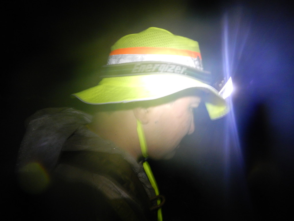
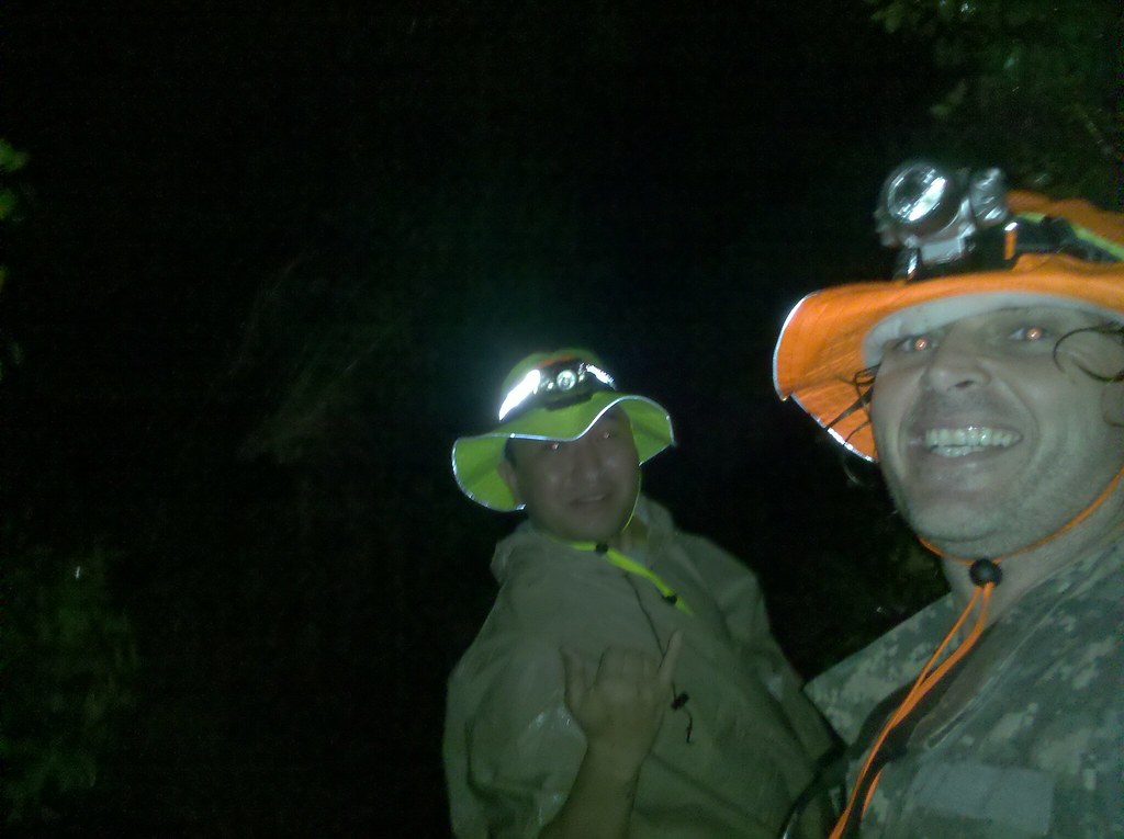
Leaving the hibiscus behind we continued through the upper valley towards the notch, a half mile from the stream which we reached at 7:18pm. We stopped to make phone calls, adjust our gear, and to take a quick break. We had to navigate the contours of the trail cut into the side of the valley in the dark cloudy night and I warned my partner of the steep drops hidden in the darkness. You'll note the ultra cool Glo-Wear hats I got us as GasPro Hawaii.
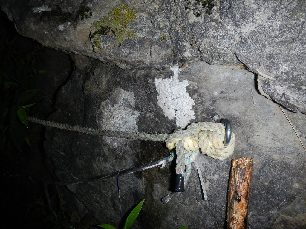 |
| One of two sections with ropes for security |
At 8:42pm we reached the red detour and warning signs meaning it had taken 1 hour and 24 minutes to cover roughly 3/4 of a mile.
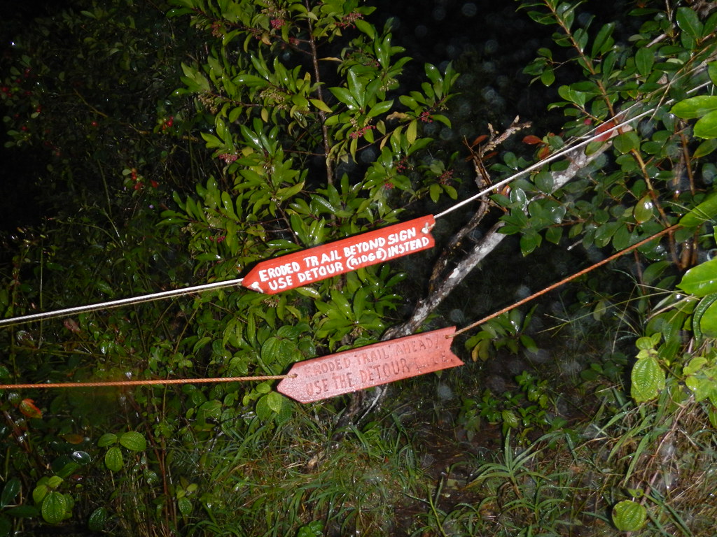
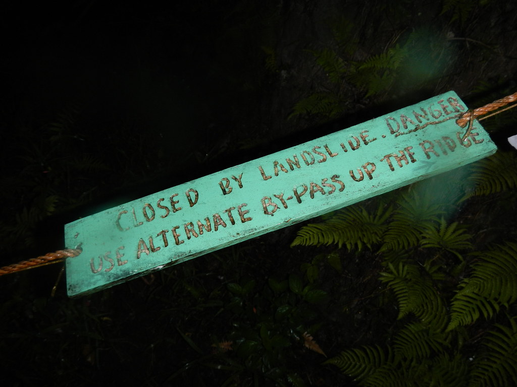
Making our way down the ridge we followed the detour and it's ropes to the lower detour signs. I kept dreaming about getting to the straightaway that would take us to the valley floor and signal the beginning of the end of this ordeal. It's 1.4 miles to the road from the red warning signs but it seemed like an eternity. Call me superstitious but I'd swear the trail was getting longer. Don't think the legendary half man, half pig demigod Kamapua'a who's domain we were in didn't enter my thoughts more than once. I began counting my steps which were sometimes a foot in length and others less than 6 inches apart trying to estimate the distances remaining. Finally after an eternity of negotiating the dry waterfalls at corners in the lower switchbacks we arrived at the straightaway section.
I kept my eyes peeled for the Koa trees that marked the approximate midpoint of the straightaway. Thankfully they appeared and we left the native forest for the strawberry guava forest that makes up the lower section. The strawberry guava were useful in helping me keep some of the weight off my knees using them as we made our way down.
 |
| Castle Trail's Head in Punaluu Valley |
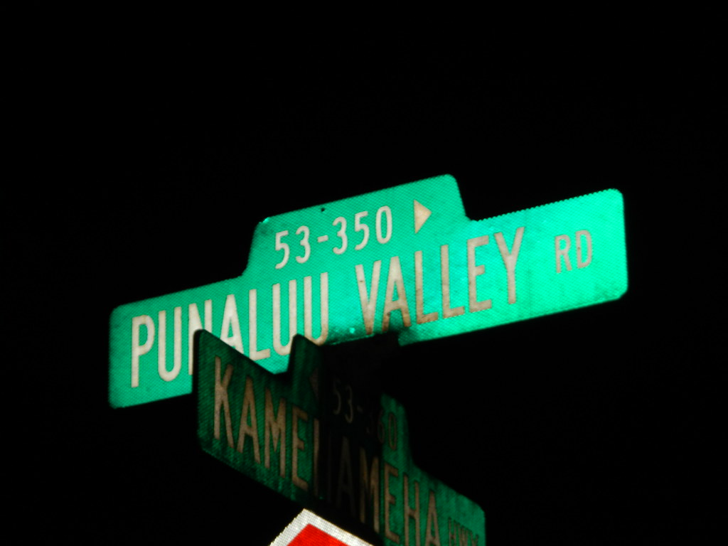
Finally at 11:51pm we reached the Castle Trail Head in Punaluu Valley. At that remained was the 1.5 miles to Kamehameha Hwy to the Jeep. My speed picked up a little with the mostly flat surface of the road. The cold rains continued to soak us but our movement was still keeping us warm. We passed empty fields then the banana plantation and a metal gate signaling the the end of the dirt road was approaching. At the very end we passed some type of nursery and home which still had it's lights on. I saw the movement of a person watching us from the window. "Great" I thought, "I'm sure they're completely thrilled with two guys wandering around their place in the middle of the night." Reaching the last gate that separates asphalt from the dirt, we arrived at Punaluu Valley road. We didn't get past the crazy little dogs that had chased me last time undetected either. A chorus of barking accompanied us down the road and I'm sure raised the ire of the residents. We took a right turn which marked the last leg of our adventure. II offered to go ahead bring the Jeep back to pick me up. That sounded fantastic but considering the amount of effort and the misery I'd endured getting this far I figured there was no point in not completing the whole distance so I finished the last .4 miles under my own power.
 |
| 12:54am, 19 hours after leaving La'ie |
What an adventure this one was. Under normal circumstances I'm confident we'd have been off the trail before sunset or at least before darkness without any trouble. My knee changed all that though and with the clouds at the summit being airlifted out wasn't an option either. We had two choices and those were to continue or spend the night. I carry enough stuff on these longer hikes to get me though a night in the Ko'olaus but I felt it was better to just inch my way towards home instead. The second I stopped moving the cool winter temperatures and being completely soaked meant I got cold fast. We don't think about hypothermia here in Hawaii but I was already in it's early stages. Sure, we could have called for help but I'm not sure what good it would have done except to maybe endanger some fire fighters if they attempted to hike up there to meet us in the dark. Our situation wasn't dire so we elected to just tell our family where we were in case we did run into more trouble.
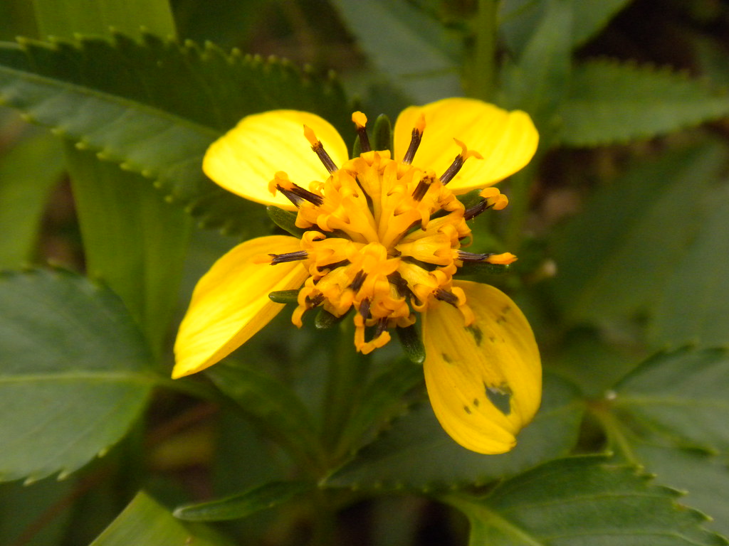 |
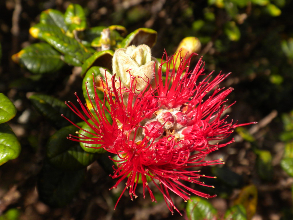
| Ko'oko'olau |
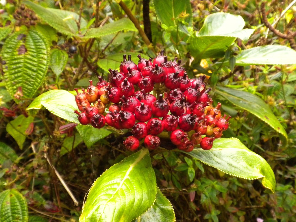 |
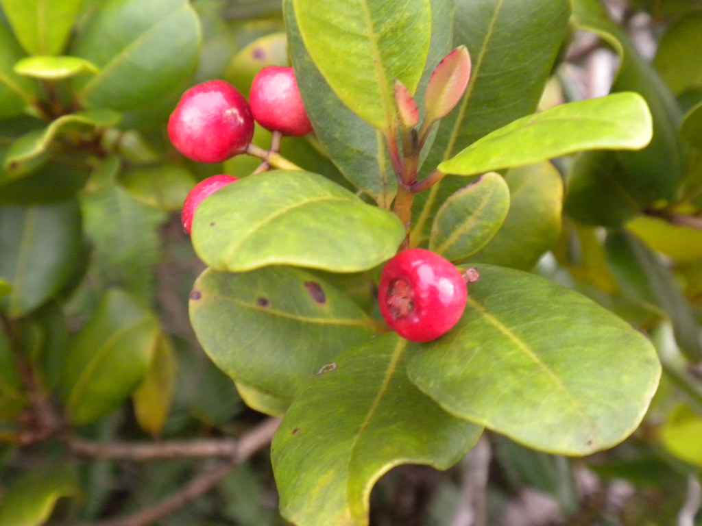
| Kanawao Fruit |
More pictures from this trail and others I've done can be viewed on Flickr. Aloha and thanks for reading.

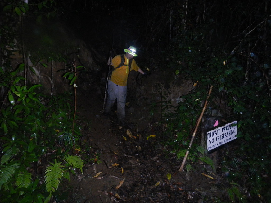
If it helps, I had a similar experience with this trail, though at least you were prepared. I certainly wasn't. I'd just moved to the island and had gone for what was supposed to be a quick walk with family. I hadn't even known we'd be walking at all and was wearing sandals.
ReplyDeleteEIGHT hours later, I was still stuck on the mountain, in the dark, trapped on a portion of the trail that had been washed out by storms. I made it down, but not without injury. And the waterfall was...well, rather pitiful, though I've heard it can be stunning at the right time of year.
Beautiful views, though not one I'd do again, at least not in sandals.