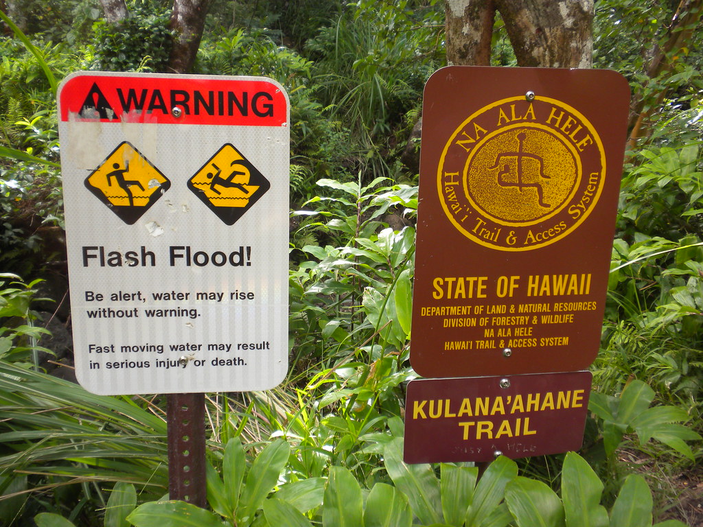
Kulana'ahane Trail
I'm going to skip a lot of details on the fantastic yet very easy hike to the back of Moanalua Valley. At 11 miles, this is a long but easy hike with a final assault to the Moanalua Saddle that will give your heart and lungs a workout. That shouldn't discourage anyone from giving it a try because the steep section is relatively short and there is a ton of great scenery along the way.
In Stuart Ball's book, Hiking O'ahu, and a few places on the internet it says permission from Moanalua Gardens is required for this trail. That's out of date because it's part of the State of Hawaii's Na Ala Hele system. (I wonder if anyone has actually used Ball's detailed The Bus information in his book lately!) Official directions and information are now included on their website. Here's the link: Kulana'ahane Trail. Please be advised that the official trail ends prior to the summit climb.
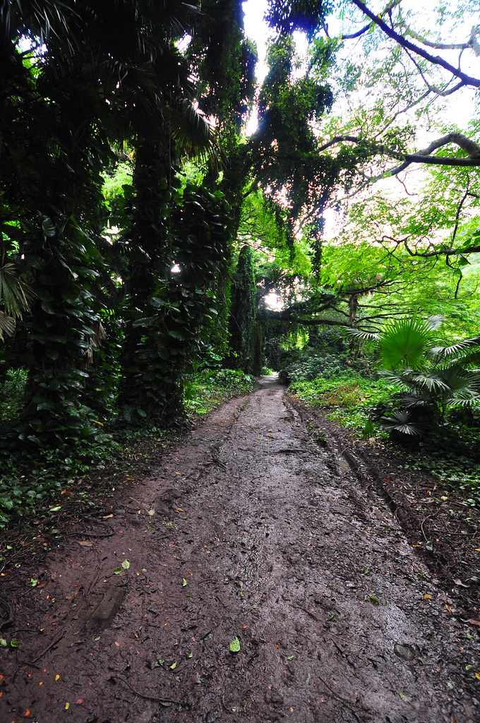
We parked at The Moanalua Valley Park at about 7am. The trail head is easy to find, just walk to the back of the park and go around a huge metal gate blocking a dirt road. It's virtually impossible to get lost if you stay on the road that takes you up the valley.
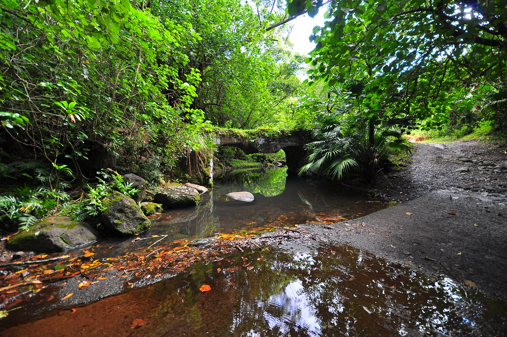
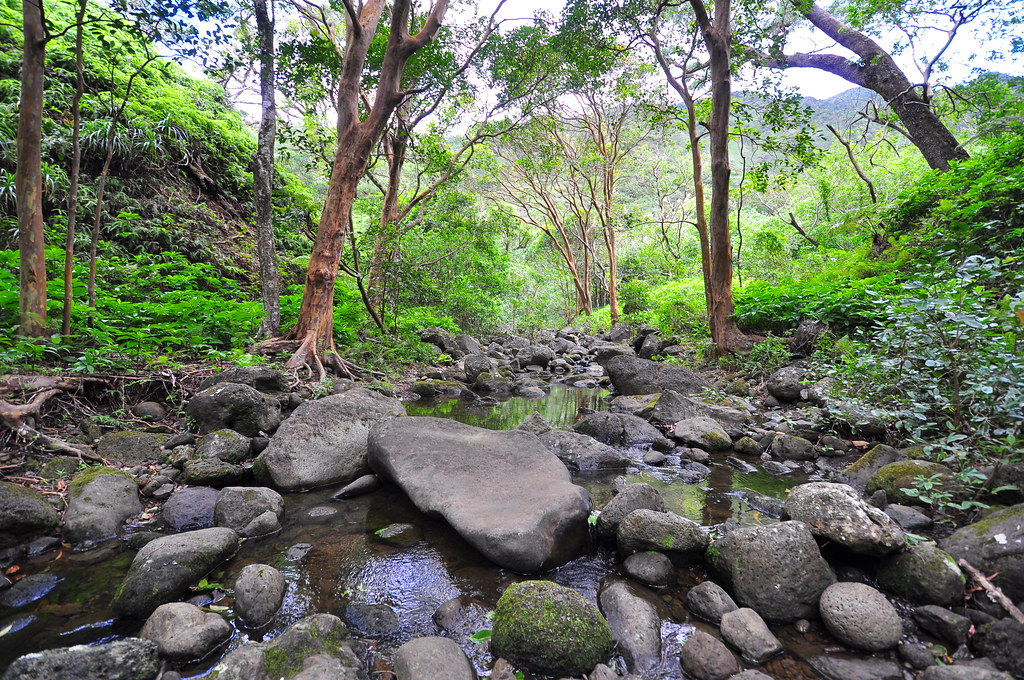
 After about two and a half miles you reach the Kulana'ahane Trail head. Until you reach the end of the maintained trail you'll cross the stream at least 28 times as you wind your way up the valley.
If it's raining up in the valley there's a risk of flash flooding so be careful and keep and eye on the skies.
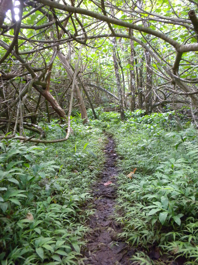
There is a little bit of mud and more than a few mosquitoes along the way. Also, there US Army is trying to do rodent control back here so there are a lot of rat / mouse poison bait stations. You wouldn't think so but rats and mice are a huge problem for our endemic plant life.
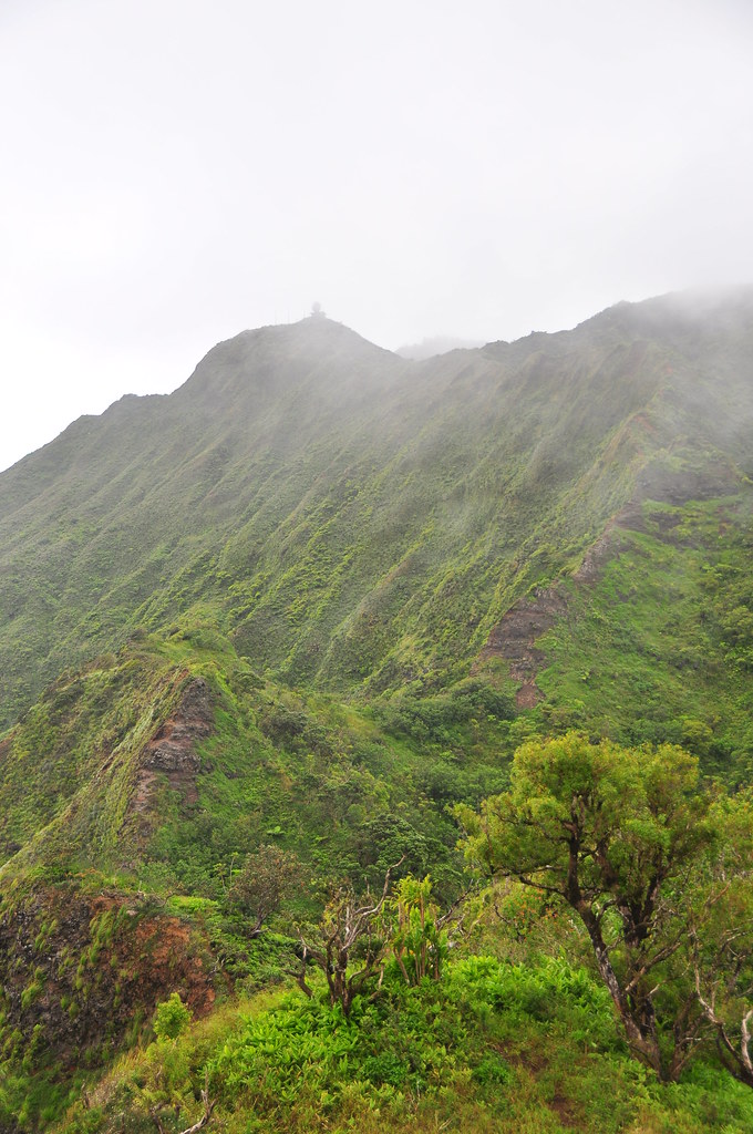
There are some petroglyphs along the way but I'll be honest, I wasn't looking for them and I missed them. Snaking it's way upwards, the trail starts to gently gain elevation. The temperature cooled just a little hinting that we were getting close to the spur ridge that would take us to the summit. My favorite stream crossing of the trail...
 |
| Looking down the spur ridge. |
 |
| Looking east up the ridge to the CCL building |
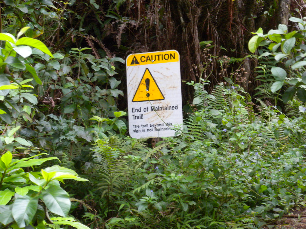
Eventually you'll reach the end of the maintained trail where the State will tell you that, for you're own safety, you should return the way you came.
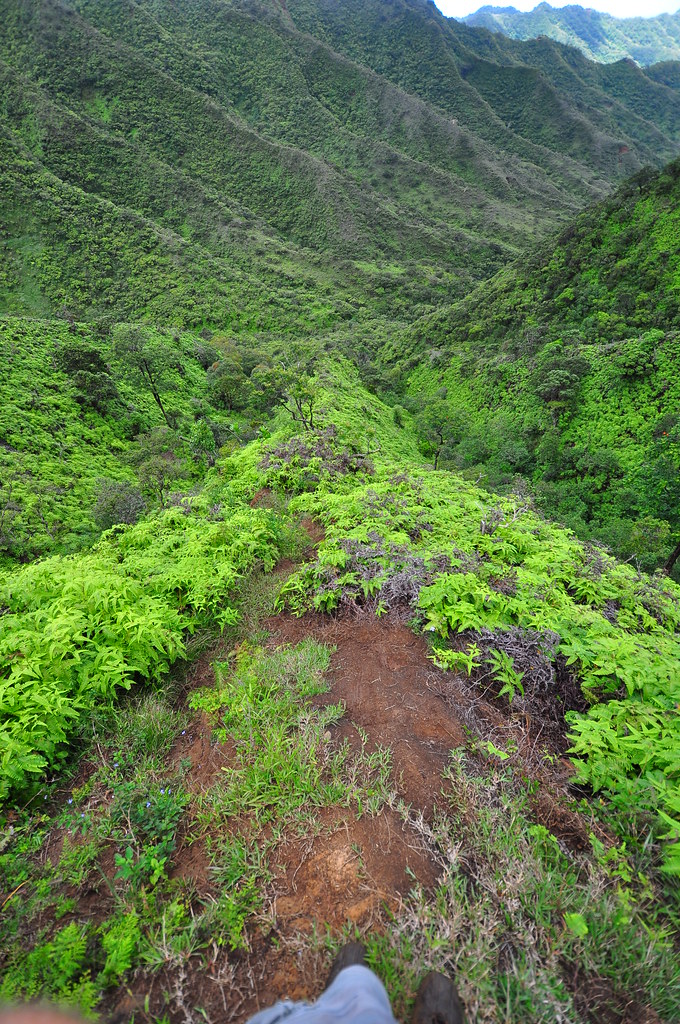
If you elect to continue, there's a steep spur ridge that will take you to about the center of Moanalua Saddle above. It's steep and a little slippery but totally worth the short workout to get to the top.
After the heart and lung pounding climb, you're deposited direction above H-3 and Haiku Valley. Considering the easy trail in the valley with only a short climb I'll declare this one of the most rewarding trails on the island for time and effort. The summit is steep and some of the rock crumbly so be careful where you put your feet.
 |
| Looking over the edge |
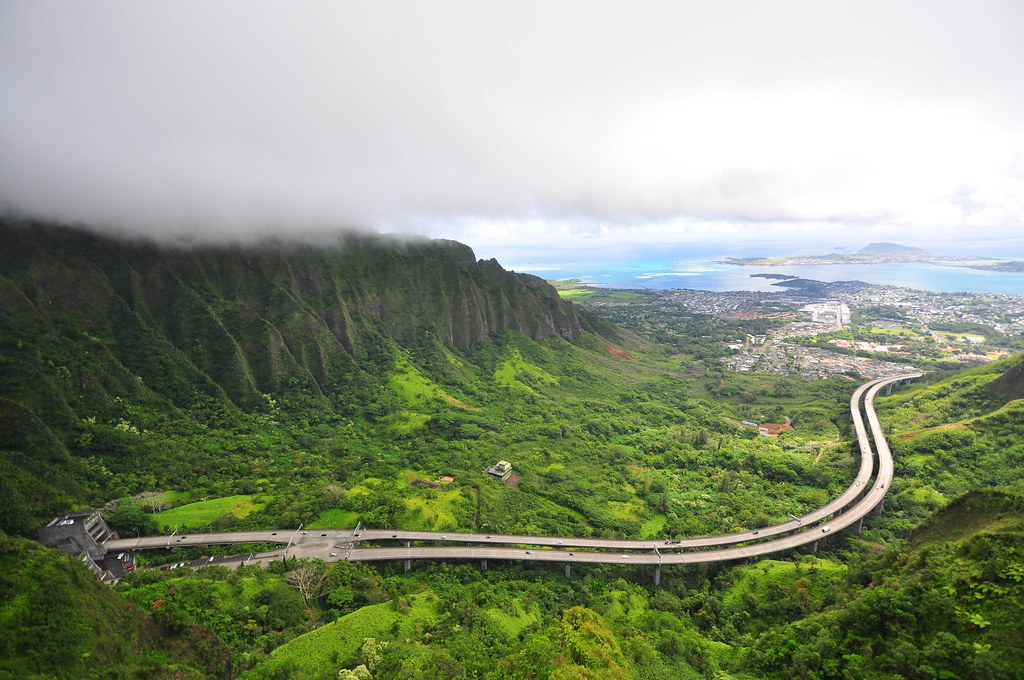 |
| Haiku valley and H-3. Beautiful! |
Today neither was on the agenda so after enjoying the view and scouting a little ways in each direction we turned back towards the valley.
Looking back from about half way down the spur you get an idea of just how far back you are!
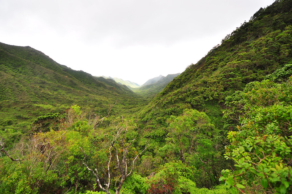 |
| View from the back of the valley. |
Maunawili Falls Trail
 Maunawili Falls used to be a quiet trail that only locals knew about. Of course, that was about 20 years ago when Kailua Town still had a sleepy country feel to it. Back in the day, you had to jump a fence either at the dead end of a cul de sac or scale down a concrete channel next to a certain bridge. Countermeasures were always being upgraded to keep people out but we always found a way to defeat them. We'd sneak up there with a couple bottles of Colt 45 long before we were old enough to drink and jump from rocks on the left and right side of the falls all day.
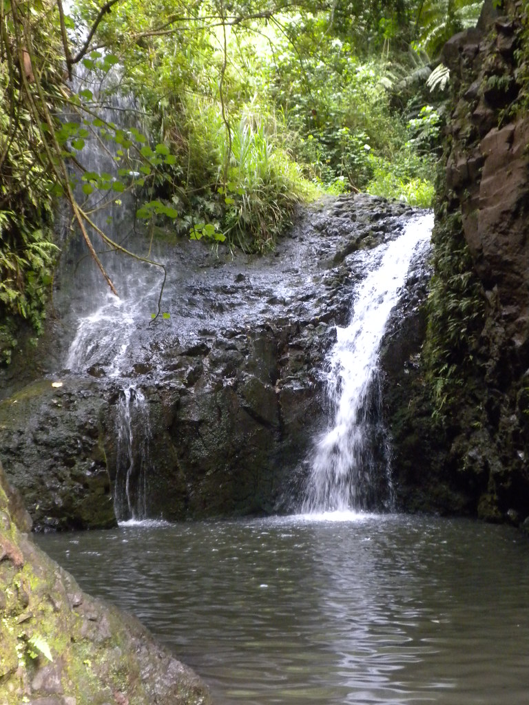
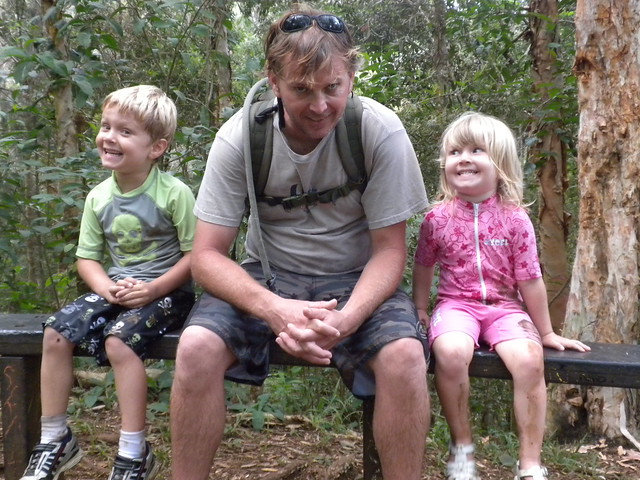
Now that it's a Na Ala Hele trail and youtube, guidebooks, and the internet have blasted images and videos of this place across the world it's a mad house 365 days a year from sun up to sun down. It looks like a heard of elephants has pounded it's way though the brush to the falls. My kids are old enough now that they can handle the about 1.25 miles so it was time to follow the herd and get muddy!
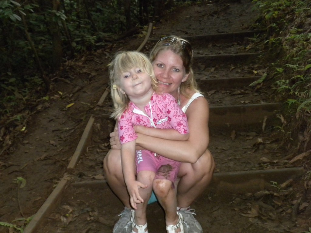
Since there are so many pictures of the falls and a million other narratives I''m just going to toss a couple pictures up here and a link. Maunawili Falls.
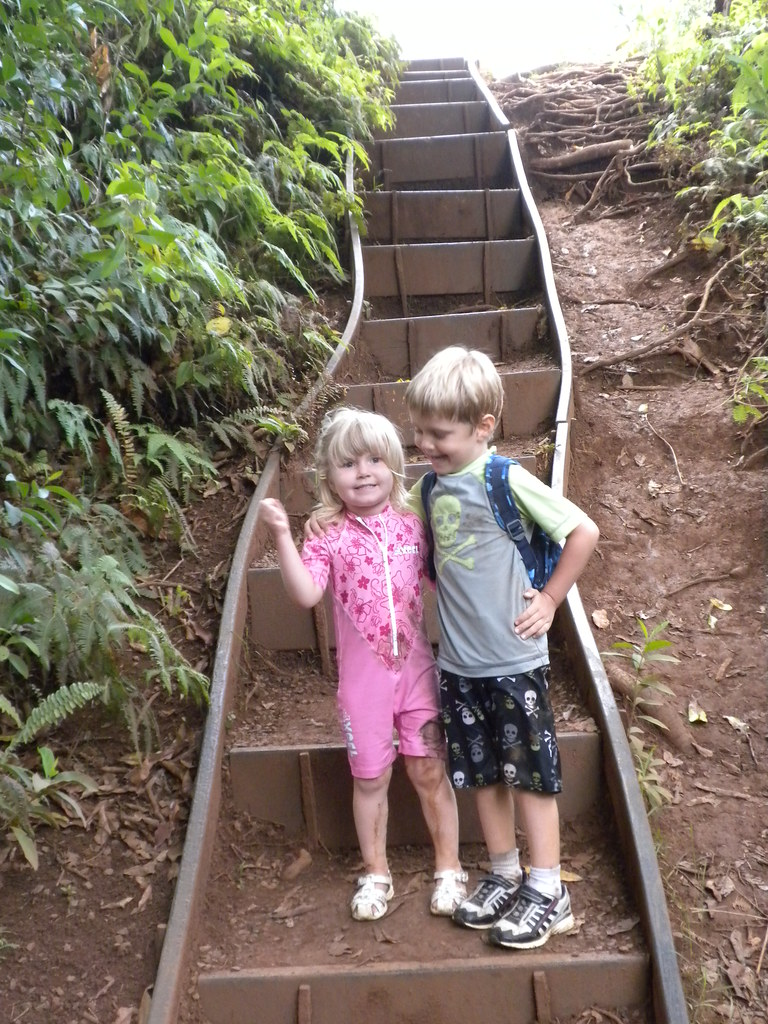 |
| Da keiki |
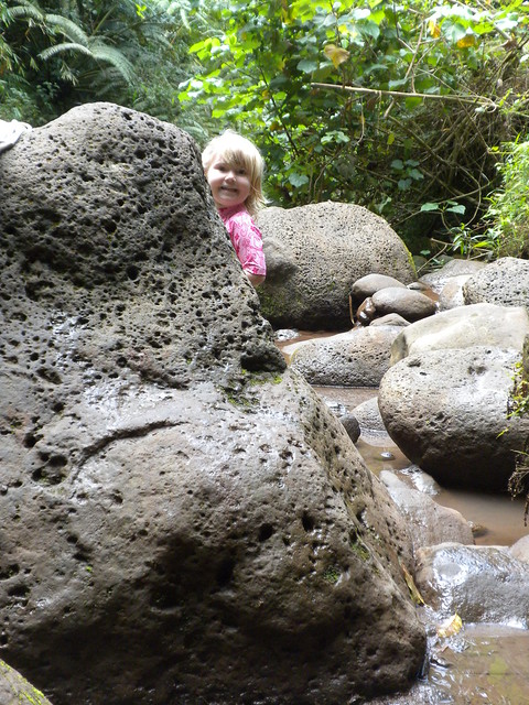 |
| Peek-A-Boo! |
Aloha and mahalo for reading. More pictures from this trail and others I've done can be seen on Flickr.
Safe trails!
No comments:
Post a Comment